


Meßstetten, Germany
Meßstetten is a town of 11,132 people in Baden-Wurttemberg, Germany.
Why visit Meßstetten
Townapedia lists 38 museums and landmarks, 23 parks and trails, 90 places to eat, 14 places to stay and 52 attractions in and around town.
Highlights include Böllat, Capitol Filmpalast, Schalksburg and Nähmaschinenmuseum Sammlung Albrecht Mey.
Weather in Meßstetten
Forecast from MET Norway (CC BY 4.0). Full forecast
About Meßstetten
Meßstetten (German: [mɛsˈʃtɛtn] ) is a town in the Zollernalbkreis district, in Baden-Württemberg, Germany, which is situated in the Swabian Jura, 24 km southeast of Balingen. At an altitude of 907 m (2,976 ft), Meßstetten is the highest city (of more than 10,000 inhabitants) in Germany. It is close to the Heuberg Training Area with the Lager Heuberg. Within the Heuberg Training Area there is the legendary Dreibannmarke, also called the "Bahn", a 17th-century border, which today marks the border between three different municipalities, formerly in the three states of Württemberg, Baden, and Hohenzollern.
From the Wikipedia article Meßstetten (this version), under CC BY-SA 4.0.
Things to do52






40 more on the map.
Museums and landmarks38


Nähmaschinenmuseum Sammlung Albrecht Mey
Museum · 3.7 km
6 Auf Steingen
"nach telefonischer Vereinbarung"


ehem. Burg Wildentierberg (nicht mehr sichtbar)
Monument and historic site · 5.1 km

26 more on the map.
Parks, trails and playgrounds23

badkap
Sports field and stadium · 3.6 km
1 Beibruck, Albstadt
Mo-Th 09:00-22:00; Fr,Sa 09:00-23:00; Su 09:00-22:00




11 more on the map.
Restaurants and cafes90
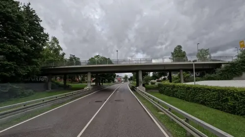
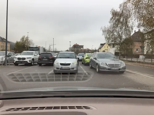
Brauhaus Zollernalb
Restaurant · Regional · 5.4 km
4 Poststraße, Albstadt
Mo-Sa 11:30-14:00,17:30-21:00; PH,Su 11:30-14:00,17:00-20:00


Clubheim Tennisgesellschaft Ebingen
Restaurant · Italian · 6.7 km
240 Schmiechastraße, Albstadt
Mo-Su,PH 14:00-22:00
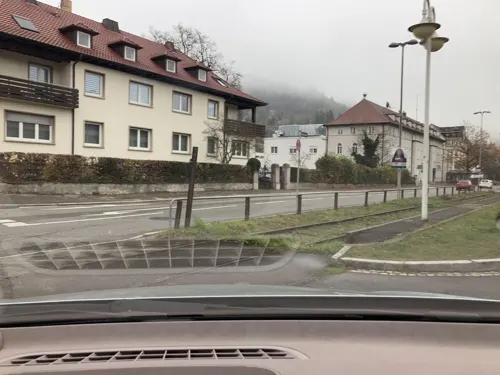

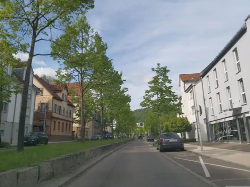
Backhaus Mahl
Bakery · 5.2 km
15 Schillerstraße, Albstadt
Mo-Fr 06:00-18:00; Sa 06:00-12:30; Su 07:30-17:00



78 more on the map.
Where to stay14
Churches and places of worship29
Evangelische Kirche Tieringen
Church · Protestant · 6.9 km
6 Wasserscheide, Meßstetten
Katholische Kirche St. Johannes der Täufer
Church · Roman Catholic · 3.5 km
St. Michael;St.-Michaels-Kirche
Church · 7.0 km
8 Eschenbachstraße, Albstadt
Bilal-i Habeşi Camii
Place of worship · Sunni · 6.0 km
31-33 Truchtelfinger Straße
Shopping29
Gas and EV charging10
Schools, colleges and libraries22
Healthcare9
Map of Meßstetten
250 places. The map loads OpenStreetMap tiles when you open it.
Getting there and nearby towns
Manfred Rommel Airport Stuttgart (STR) is the nearest airport with scheduled flights listed in OpenStreetMap, 59 km away.
- Spaichingen 21 km southwest, about 21 min by car
- Sigmaringen 22 km southeast, about 22 min by car
- Tuttlingen 25 km southwest, about 25 min by car
- Rottweil 25 km west, about 25 min by car
- Mössingen 26 km north, about 26 min by car
- Trossingen 27 km southwest, about 27 min by car
- Mengen 31 km southeast, about 31 min by car
- Sulz am Neckar 32 km northwest, about 32 min by car
- Villingen-Schwenningen 38 km west, about 38 min by car
- Reutlingen 39 km northeast, about 39 min by car
Drive times are estimates from straight-line distance, not routes.
Local news
Headlines from INDB.
Reviews, tips and questions
Loading what members have shared...
Sources and licences
- GeoNames (CC BY 4.0): population, coordinates, regions and time zone
- Mapillary (see each image): photos
- OpenStreetMap contributors (ODbL 1.0): places, airports, map data
- Wikidata (CC0 1.0): elevation, founding date, time zone, website
- Wikimedia Commons (see each image): photos
- Wikipedia (CC BY-SA 4.0): overview and history text
Photo credits
- Messstetten ansicht, Lothar42 at German Wikipedia, CC BY-SA 3.0
- Evangelische Lamprechtskirche, Meßstetten, Olga Ernst, CC BY-SA 4.0
- Meßstetten Ebinger Straße 17, Tragopogon, CC BY 4.0
- Meßstetten Friedhof 04, Tragopogon, CC BY 4.0
- Maibaum 2023 in Meßstetten, Olga Ernst, CC BY-SA 4.0
- 2023er Maibaum in Meßstetten, Olga Ernst, CC BY-SA 4.0
- Geotop Brunnenstube Bohnenbergerweg (Meßstetten), Olga Ernst, CC BY-SA 4.0
- Geotop Brunnenstube Bohnenbergerweg bei Meßstetten, Olga Ernst, CC BY-SA 4.0
- Geotop Brunnenstube Bohnenbergerweg (kleine Quellfassung), Meßstetten, Olga Ernst, CC BY-SA 4.0
- Geotop Brunnenstube Bohnenbergerweg, Meßstetten, Olga Ernst, CC BY-SA 4.0
- Meßstetten Friedhof 06, Tragopogon, CC BY 4.0
- Meßstetten Friedhof 05, Tragopogon, CC BY 4.0
- Meßstetten Friedhof 01, Tragopogon, CC BY 4.0
- Meßstetten Friedhof 02, Tragopogon, CC BY 4.0
- View across Meßstetten, Baden-Württemberg, Germany (2017), Olga Ernst, CC BY-SA 4.0
- Wasserturm Rauer Bühl Meßstetten, Olga Ernst, CC BY-SA 4.0
- Meßstetten, Blick vom Blumersberg, Olga Ernst, CC BY-SA 4.0
- Dirt-Park auf dem Blumersberg (Meßstetten), Olga Ernst, CC BY-SA 4.0
- Dirt-Park auf dem Blumersberg in Meßstetten, Olga Ernst, CC BY-SA 4.0
- Sport- und Freizeitgelände Blumersberg in Meßstetten, Olga Ernst, CC BY-SA 4.0
- Sport- und Freizeitgelände Blumersberg, Meßstetten, Olga Ernst, CC BY-SA 4.0
- Burg Hossingen, Burgensammler, CC BY-SA 4.0
- Wildentierberg, Peter Kreuzmann, CC BY-SA 4.0
- Gräbelesberg, Mih, Public domain
- Heersberg, mih, Public domain
- St.-Michaelskirche (Albstadt-Burgfelden), Zollernalb, CC BY-SA 3.0
- Malesfelsen, Ikar.us, CC BY 3.0 de
- D-BW-BL-Albstadt - Naturschutzgebiet Mehlbaum 1565, ANKAWÜ, CC BY-SA 4.0
- Heimberg Unterdigisheim, Tragopogon, CC BY-SA 4.0
- Ausblick vom Albtraufgängerweg beim Hörnle 956 m ü. NN - panoramio (1), qwesy qwesy, CC BY 3.0
- Heidensteinhöhle 01, Zollernalb, CC BY-SA 4.0
- NSG Kugelwäldle, Tragopogon, CC BY-SA 4.0
- Blick auf das Naturschutzgebiet Scheibhalden, Oberdigisheim (2019), Olga Ernst, CC BY-SA 4.0
- Gräbelesberg, FFH-Gebiet Östlicher Großer Heuberg, Olga Ernst, CC BY-SA 4.0
- Ebingen Martinskirche, Ikar.us ( talk ), CC BY 3.0 de
- Albstadt Ebingen Zehntscheuer Kornspeicher 2011, A. Köppl, CC BY 3.0
- Ebingen StJosef, Michael Kauffmann, CC BY 3.0
- Schlossbergturm Ebingen, Forseti2012, CC BY-SA 3.0
- Evangelische Kirche Tieringen, Olga Ernst, CC BY-SA 4.0
- Lautlingen Pfarrkirche, Photo: Andreas Praefcke, CC BY 3.0
- St. Margareta, Margrethausen (Albstadt), Olga Ernst, CC BY-SA 4.0
- Kirche Albstadt-Burgfelden, Tragopogon, CC BY-SA 4.0
- Landappbw 732916 1820 Johannes-Kirche Oberdigisheim, David, CC0
- Burgfelsen Vogelfels, Peter Kreuzmann, CC BY-SA 4.0
- Aussichtspunkt Böllat, Schwäbische Alb, Olga Ernst, CC BY-SA 4.0
- Blick vom Baienberg, Schwäbische Alb, Olga Ernst, CC BY-SA 4.0
- Albstadt-Talgang vom-Schlossfelsen, Dg-505, CC BY 3.0
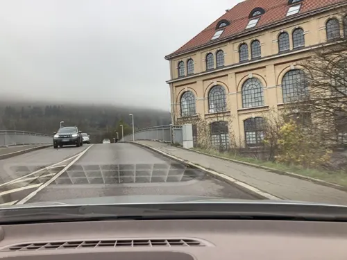
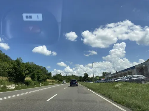
- Street-level photo, bct, CC BY-SA 4.0
- Street-level photo, poseidon69, CC BY-SA 4.0
- Street-level photo, googie0815, CC BY-SA 4.0
- Street-level photo, KrebsRap, CC BY-SA 4.0
- Street-level photo, poseidon69, CC BY-SA 4.0
- Street-level photo, poseidon69, CC BY-SA 4.0
- Street-level photo, googie0815, CC BY-SA 4.0
- Street-level photo, bct, CC BY-SA 4.0
- Street-level photo, bct, CC BY-SA 4.0
- Street-level photo, KrebsRap, CC BY-SA 4.0
- Street-level photo, poseidon69, CC BY-SA 4.0
- Street-level photo, yellowracer, CC BY-SA 4.0
- Street-level photo, KrebsRap, CC BY-SA 4.0
- Street-level photo, poseidon69, CC BY-SA 4.0
- Street-level photo, poseidon69, CC BY-SA 4.0


Page built November 8, 2026. Spotted a mistake? Tell us or suggest a place.