


Barntrup, Germany
Barntrup is a town of 5,270 people in North Rhine-Westphalia, Germany.
Why visit Barntrup
Townapedia lists 15 museums and landmarks, 19 parks and trails, 47 places to eat, 9 places to stay and 46 attractions in and around town.
Highlights include Sennenhof, Hof Hellmig, Burg Blomberg and Schloss Alverdissen.
Weather in Barntrup
Forecast from MET Norway (CC BY 4.0). Full forecast
About Barntrup
Barntrup (German pronunciation: [ˈbaʁntʁʊp] ) is a town in the Lippe district of North Rhine-Westphalia, Germany. It has an area of 59.46 km2 and 8,501 inhabitants (2019).
From the Wikipedia article Barntrup (this version), under CC BY-SA 4.0.
Things to do46

Sennenhof
Farm and orchard · 5.2 km
Fleisch- und Wurstwaren
20 Alter Schulweg, Dörentrup
Fr 17:00-19:00; PH off
Familie Ehlerts Schweinerei
Farm and orchard · 3.8 km
15 Barntruper Straße, Dörentrup
Mo-Su,PH 06:00-22:00

34 more on the map.
Museums and landmarks15

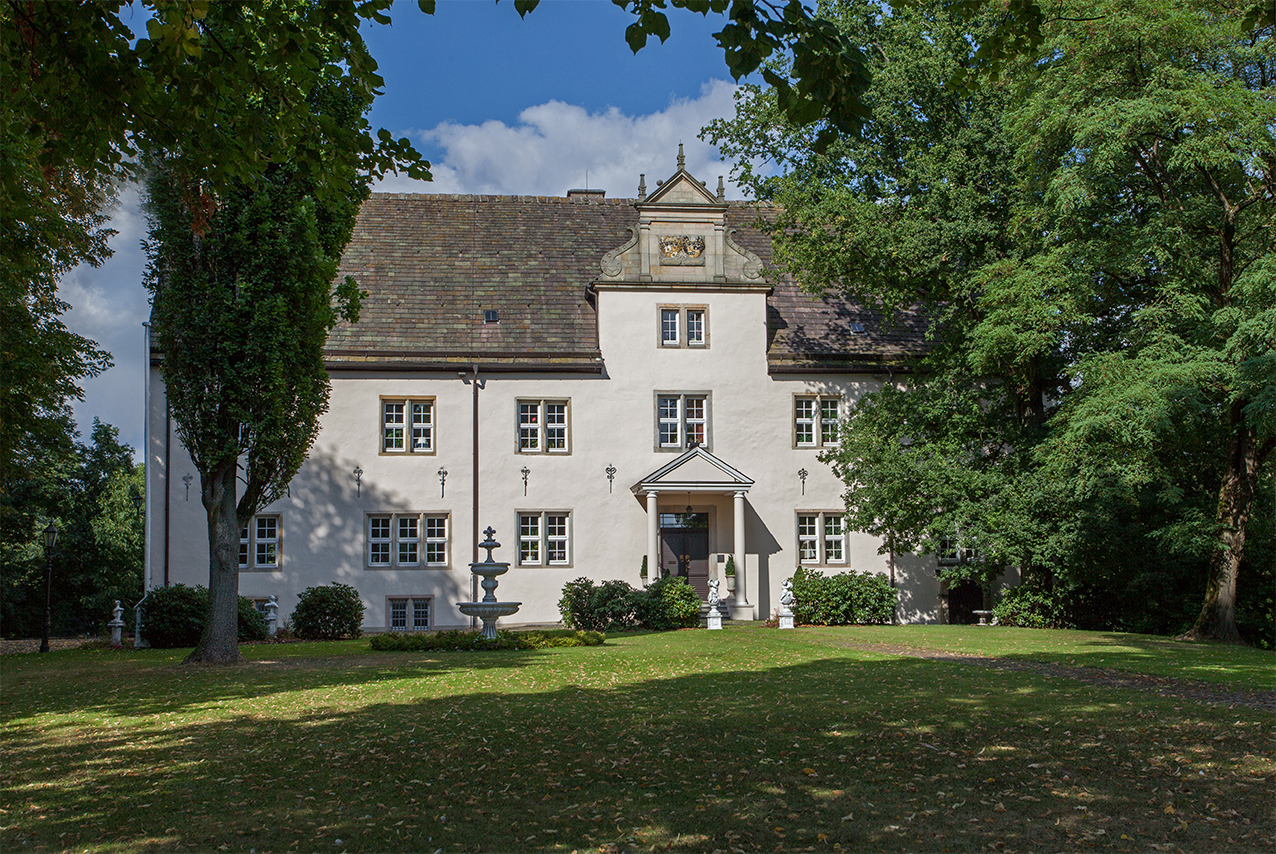
Schloss Alverdissen
Monument and historic site · 4.7 km
4 Schloßstraße, Barntrup

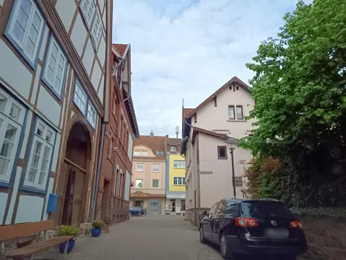


Ruine NSFK Segelflugübungsstelle
Monument and historic site · 2.4 km
Ruine der Segelflugübungsstelle des Nazi NSFK (nationalsozialistische Fliegerkorps) 1945 von den Besatzungsmächten zerstört.
3 more on the map.
Parks, trails and playgrounds19


Hecken- und Grünlandkomplex auf der Sonneborner Hochfläche und dem Knappberg
Hiking and trails · 4.1 km




7 more on the map.
Restaurants and cafes47
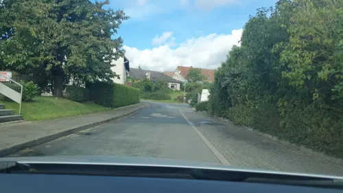
Knusperstübchen 2 – Stadtbäckerei Strate
Bakery · 4.6 km
13 Alter Schulweg, Dörentrup
Mo-Fr 06:00-13:00; Sa 07:00 - 12:00
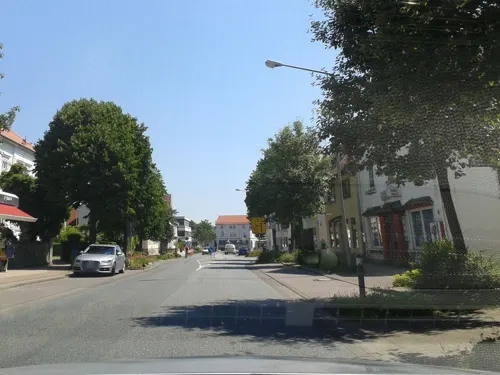
Hermes
Restaurant · Greek · 4.7 km
6 Schloßstraße, Barntrup
Mo-Fr 16:00-23:00, Sa 10:00-13:00,17:00-23:00, Su 12:00-14:30,17:00-23:00
SZimmer
Cafe · Coffee Shop · 4.7 km
22 Schloßstraße, Barntrup
Fr 09:00-17:00, Sa-Su 14:00-17:00

Syrtaki
Restaurant · Greek · 5.4 km
Mo-Sa 11:30-14:30, 17:00-21:30; Tu off; Su, PH 11:30-21:30
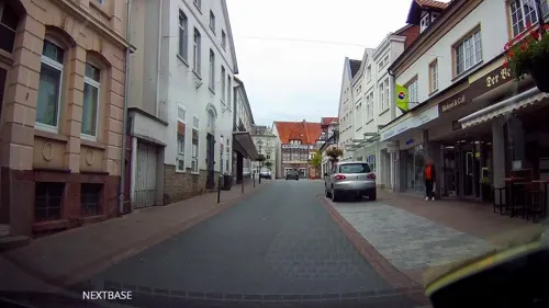
Café am Markt
Cafe · 5.5 km
6 Kurzer Steinweg, Blomberg
Mo-Fr 07:00-18:00; Sa 07:00-13:00
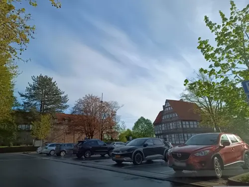


Blomberger Döner Kebap
Restaurant · Turkish · 5.6 km
17 Langer Steinweg, Blomberg
35 more on the map.
History
Barntrup and Alverdissen were founded by the Earl of Sternberg in the year 1220. Originally Barntrup was called Barendorf and was a village at the Schratweg. Between 1317 and 1359 Barntrup was built on the highest point of the "Thornesberg" which is 189 m high above sea level. This is the central point of Barntrup.
Kerssenbrock Castle (also called Schloss Kerssenbrock or Barntrup Castle, see picture) was constructed from 1584-1588 by Anna von Kerssenbrock (maiden name Anna von Canstein). Her husband, Franz von Kerssenbrock, had been a mercenary in the French Wars of Religion, where he had made much money. The Kerssenbrock family was one of the main noble families in the region. It is still today owned by the von Kerssenbrock-Krosigk family.
From the History section of Barntrup on Wikipedia, under CC BY-SA 4.0.
Where to stay9
Churches and places of worship17
Katholische Kirche St. Peter und Paul
Church · Catholic
23 Hamelner Straße, Barntrup
Shopping13
Gas and EV charging8
Schools, colleges and libraries16
Healthcare5
Map of Barntrup
195 places. The map loads OpenStreetMap tiles when you open it.
Getting there and nearby towns
Flugplatz Bielefeld (BFE) is the nearest airport with scheduled flights listed in OpenStreetMap, 39 km away.
- Blomberg 6 km south, about 6 min by car
- Bad Pyrmont 9 km east, about 9 min by car
- Lügde 10 km east, about 10 min by car
- Dörentrup 10 km northwest, about 10 min by car
- Aerzen 12 km northeast, about 12 min by car
- Steinheim 13 km south, about 13 min by car
- Lemgo 15 km west, about 15 min by car
- Detmold 18 km west, about 18 min by car
- Hameln 21 km northeast, about 21 min by car
- Lage 22 km west, about 22 min by car
Drive times are estimates from straight-line distance, not routes.
Local news
Headlines from INDB.
Reviews, tips and questions
Loading what members have shared...
Sources and licences
- GeoNames (CC BY 4.0): population, coordinates, regions and time zone
- Mapillary (see each image): photos
- OpenStreetMap contributors (ODbL 1.0): places, airports, map data
- Wikidata (CC0 1.0): elevation, founding date, time zone, website
- Wikimedia Commons (see each image): photos
- Wikipedia (CC BY-SA 4.0): overview and history text
Photo credits
- Barntrup - 2019-02-24 - Schloss (DSC 4973), Tsungam, CC BY-SA 4.0
- Bücherschrank, 1, Barntrup, Kreis Lippe, GeorgDerReisende, CC BY-SA 4.0
- Bahnhofstraße 5, 1, Barntrup, Landkreis Lippe, GeorgDerReisende, CC BY-SA 4.0
- Bahnhofstraße 3, 1, Barntrup, Landkreis Lippe, GeorgDerReisende, CC BY-SA 4.0
- Stolpersteinlage, 2, Obere Straße 26, Barntrup, Landkreis Lippe, GeorgDerReisende, CC BY-SA 4.0
- Stolperstein Julie Katz, 1, Obere Straße 26, Barntrup, Landkreis Lippe, GeorgDerReisende, CC BY-SA 4.0
- Stolperstein Berta Herzberg, 1, Obere Straße 26, Barntrup, Landkreis Lippe, GeorgDerReisende, CC BY-SA 4.0
- Stolperstein Hermann Herzberg, 1, Obere Straße 26, Barntrup, Landkreis Lippe, GeorgDerReisende, CC BY-SA 4.0
- Stolperstein Emma Grünewald, 1, Obere Straße 26, Barntrup, Landkreis Lippe, GeorgDerReisende, CC BY-SA 4.0
- Bushaltestelle Marktplatz, 2, Barntrup, Landkreis Lippe, GeorgDerReisende, CC BY-SA 4.0
- Barntrup Skulptur Attila Kirilowitsch, Jost Keller, CC BY-SA 4.0
- Obere Straße 26, 1, Barntrup, Landkreis Lippe, GeorgDerReisende, CC BY-SA 4.0
- Jüdischer Friedhof, 2, Barntrup, Landkreis Lippe, GeorgDerReisende, CC BY-SA 4.0
- Jüdischer Friedhof, 1, Barntrup, Landkreis Lippe, GeorgDerReisende, CC BY-SA 4.0
- Bushaltestelle Marktplatz, 1, Barntrup, Landkreis Lippe, GeorgDerReisende, CC BY-SA 4.0
- Friedrich-Martin Dreier Schulleiter Gymnasium Barntrup, Björn Kruschke, CC BY-SA 4.0
- Gerhard Hausmann Gymnasium Barntrup, Björn Kruschke, CC BY-SA 4.0
- Bushaltestelle Bahnhof, 1, Barntrup, Landkreis Lippe, GeorgDerReisende, CC BY-SA 4.0
- Linie 772, 1, Barntrup, Landkreis Lippe, GeorgDerReisende, CC BY-SA 4.0
- Bushaltestelle Bahnhof, 2, Barntrup, Landkreis Lippe, GeorgDerReisende, CC BY-SA 4.0
- Bahnhof, 1, Barntrup, Landkreis Lippe, GeorgDerReisende, CC BY-SA 4.0
- Bahnhof, 3, Barntrup, Landkreis Lippe, GeorgDerReisende, CC BY-SA 4.0
- Bahnhof, 2, Barntrup, Landkreis Lippe, GeorgDerReisende, CC BY-SA 4.0
- Linie 912, 1, Barntrup, Landkreis Lippe, GeorgDerReisende, CC BY-SA 4.0
- Bahnhof, 5, Barntrup, Landkreis Lippe, GeorgDerReisende, CC BY-SA 4.0
- Bahnhof, 4, Barntrup, Landkreis Lippe, GeorgDerReisende, CC BY-SA 4.0
- Barntrup - 2015-08-05 - LIP-036 Begatal (02), Tsungam, CC BY-SA 4.0
- Barntrup - 2015-08-05 - LIP-036 Begatal (04), Tsungam, CC BY-SA 4.0
- Barntrup - 2015-08-05 - LIP-036 Begatal (03), Tsungam, CC BY-SA 4.0
- Barntrup - 2015-08-05 - LIP-036 Begatal (05), Tsungam, CC BY-SA 4.0
- Bushaltestelle Trifte, 1, Barntrup, Kreis Lippe, GeorgDerReisende, CC BY-SA 4.0
- Barntrup, Lippischer Viertelmeilenstein (1), Manfred Schröter, Berga, CC BY-SA 4.0
- Barntrup, Lippischer Viertelmeilenstein (3), Manfred Schröter, Berga, CC BY-SA 4.0
- Barntrup, Lippischer Viertelmeilenstein (2), Manfred Schröter, Berga, CC BY-SA 4.0
- Neue Eisenbahnbrücke bei Barntrup, Christian Schulz, CC0
- Blomberg-burg02, Nikater, CC BY-SA 3.0
- Kirche-Sonneborn, Grugerio, CC BY-SA 3.0
- Klosterkirche-Blomberg-Südseite, Grugerio, CC BY-SA 3.0
- Blomberg Katholische-Kirche Kopie, Grugerio, CC BY-SA 3.0
- Katholische-Kirche-Barntrup, Grugerio, CC BY-SA 3.0
- Schloss Alverdissen 2012, Grugerio, CC BY-SA 3.0
- Kirche Alverdissen, Grugerio, CC BY-SA 3.0
- Schloss Barntrup 01, Grugerio, CC BY-SA 3.0
- Blomberg - 2022-02-05 - Kirche Istrup (DSC04283), Tsungam, CC BY-SA 4.0
- Martin-Luther-Kirche-Blomberg, Grugerio, CC BY-SA 3.0
- Bad Pyrmont - 2022-01-30 - Kapelle Hagen (DSC 4285), Tsungam, CC BY-SA 4.0
- Lemgo - 2019-04-27 - LIP-036 Begatal (DSC00936), Tsungam, CC BY-SA 4.0
- Barntrup - 2015-05-22 - LIP-072 Biotopkomplex am Muehlenturm (19), Tsungam, CC BY-SA 3.0
- Barntrup - 2015-05-22 - LIP-005 Hecken- und Gruenlandkomplex auf der Sonnenborner Hochflaeche und dem Knappberg (26), Tsungam, CC BY-SA 3.0
- Blomberg - 2015-06-14 - LIP-053 Hurn (31), Tsungam, CC BY-SA 4.0
- Barntrup - 2015-08-13 - LIP-071 Tal der Exter (09), Tsungam, CC BY-SA 4.0
- Blomberg - 2015-05-15 - LIP-054 (2), Tsungam, CC BY-SA 3.0
- Lügde - 2015-05-29 - LIP-030+LIP-064 (03), Tsungam, CC BY-SA 3.0
- EvKirche-Barntrup 02, Grugerio, CC BY-SA 3.0
- Street-level photo, thetornado76, CC BY-SA 4.0
- Street-level photo, sidogs33, CC BY-SA 4.0
- Street-level photo, thetornado76, CC BY-SA 4.0
- Street-level photo, steinm, CC BY-SA 4.0
- Street-level photo, thetornado76, CC BY-SA 4.0
- Street-level photo, thetornado76, CC BY-SA 4.0
- Street-level photo, thetornado76, CC BY-SA 4.0
- Street-level photo, thetornado76, CC BY-SA 4.0
- Street-level photo, derlipper, CC BY-SA 4.0
- Street-level photo, derlipper, CC BY-SA 4.0
- Street-level photo, derlipper, CC BY-SA 4.0
- Street-level photo, derlipper, CC BY-SA 4.0
- Street-level photo, derlipper, CC BY-SA 4.0
- Street-level photo, thetornado76, CC BY-SA 4.0
- Street-level photo, hendel, CC BY-SA 4.0
- Street-level photo, thetornado76, CC BY-SA 4.0
- Street-level photo, derlipper, CC BY-SA 4.0
- Street-level photo, derlipper, CC BY-SA 4.0
- Street-level photo, derlipper, CC BY-SA 4.0
- Street-level photo, thetornado76, CC BY-SA 4.0
- Street-level photo, thetornado76, CC BY-SA 4.0


Page built November 9, 2026. Spotted a mistake? Tell us or suggest a place.