


Dörentrup, Germany
Dörentrup is a town of 8,713 people in North Rhine-Westphalia, Germany.
Why visit Dörentrup
Townapedia lists 9 museums and landmarks, 15 parks and trails, 28 places to eat, 8 places to stay and 39 attractions in and around town.
Highlights include Obsthof Schäferkordt, Sennenhof, Museum Junkerhaus Lemgo and Burg Sternberg.
Weather in Dörentrup
Forecast from MET Norway (CC BY 4.0). Full forecast
About Dörentrup
Dörentrup (German pronunciation: [ˈdøːʁənˌtʁʊp] ) is a municipality in the Lippe district of North Rhine-Westphalia, Germany. It has an area of 49.79 km2 and c. 7,500 inhabitants (2025).
From the Wikipedia article Dörentrup (this version), under CC BY-SA 4.0.
Things to do39
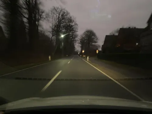
Obsthof Schäferkordt
Farm and orchard · 5.5 km
Kartoffeln & Gemüse "Bioland"
105a Hamelner Straße, Lemgo
Mo 09:00-13:30; Tu 09:00-18:00; We 09:00-13:30; Th 09:00-18:00; Fr...

Sennenhof
Farm and orchard · 4.5 km
Fleisch- und Wurstwaren
20 Alter Schulweg, Dörentrup
Fr 17:00-19:00; PH off
Obstplantage Schäferkordt
Farm and orchard · 5.3 km
Verkauf von Saisonfrüchten
120 Hamelner Straße
May-Aug: Mo-Su,PH 09:00-18:00
Familie Ehlerts Schweinerei
Farm and orchard · 5.9 km
15 Barntruper Straße, Dörentrup
Mo-Su,PH 06:00-22:00

Steinberg
Scenic view · 4.0 km
Ehemalig höchste Erhebnung des Steinbergs. Nach Aufschüttung eines Aussichtshügels liegt Gipfel liegt die höchste Erhebung nun südwestlich.




27 more on the map.
Museums and landmarks9

Museum Junkerhaus Lemgo
Museum · 6.1 km
36 Hamelner Straße, Lemgo
Apr 01-Oct 31 Tu-Su 10:00-17:00, Nov 01-Mar 31 Fr-Su 11:00-15:00


Schloss Wendlinghausen
Monument and historic site · 3.2 km
4 Am Schloß, Dörentrup

Info-Stein 52. Breiten- und 9. Längengrad
Monument and historic site · 4.7 km
24/7


Parks, trails and playgrounds15






3 more on the map.
Restaurants and cafes28

Schöne Aussicht
Restaurant · Regional · 6.0 km
Gast- und Pensionshaus Schöne Aussicht
80a Langenfelder Weg, Lemgo
We-Fr 16:00-22:00; Sa 14:00-22:00; Su 12:00-22:00
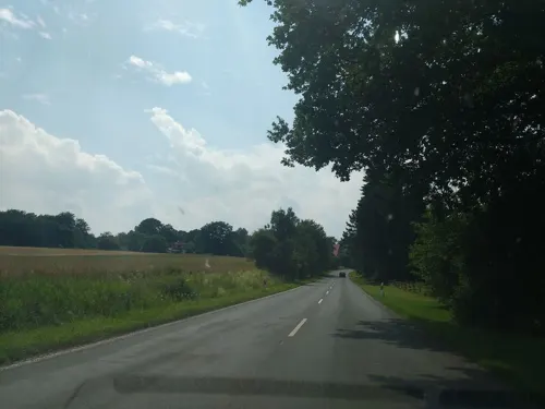
Tannenhof
Restaurant · German · 4.2 km
1 Tannenhofstraße, Kalletal
Mo,Tu 17:00-23:00; Th 14:00-23:00; Fr-Su 11:00-23:00; We off

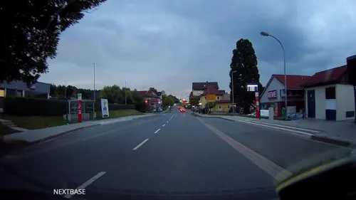
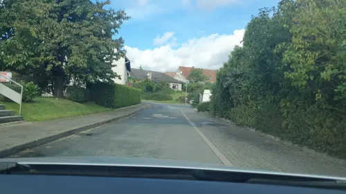
Knusperstübchen 2 – Stadtbäckerei Strate
Bakery · 5.2 km
13 Alter Schulweg, Dörentrup
Mo-Fr 06:00-13:00; Sa 07:00 - 12:00

Landhaus Wittensiek
Bar and pub · 5.7 km
2 Im Wittensiek, Extertal
Fr-Sa 18:00-23:00
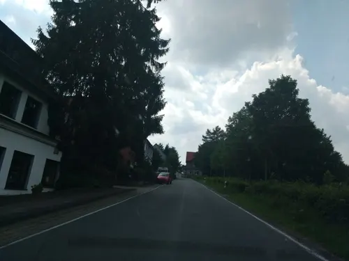
Restaurant Zur Burg Sternberg
Restaurant · German · 4.2 km
Mo-Fr 06:30-10:00,18:30-22:00; Sa,Su,PH 07:30-10:00,12:00-22:00
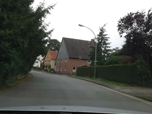
BrauArt LamaSan
Brewery and winery · 3.4 km
14 Betzener Straße, Wendlinghausen
"by appointment"
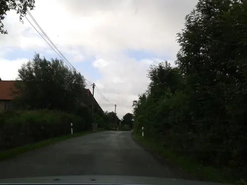
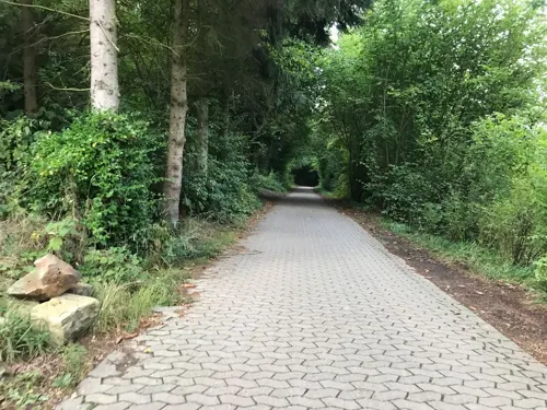


Karlchen's
Bakery · 5.9 km
61 Hamelner Straße, Lemgo
Mo-Sa 07:00-21:00; Su 08:00-11:00
16 more on the map.
Where to stay8
Churches and places of worship8
Evangelisch-reformierte Kirche Lüdenhausen
Church · Reformed · 4.7 km
Friedhofskapelle Waldfriedhof Lüningheide
Place of worship · 3.8 km
2 Lüningheide, Lemgo
Shopping4
Gas and EV charging4
Schools, colleges and libraries7
Healthcare2
Map of Dörentrup
124 places. The map loads OpenStreetMap tiles when you open it.
Getting there and nearby towns
Flugplatz Bielefeld (BFE) is the nearest airport with scheduled flights listed in OpenStreetMap, 33 km away.
- Lemgo 7 km west, about 7 min by car
- Blomberg 12 km southeast, about 12 min by car
- Detmold 14 km southwest, about 14 min by car
- Lage 15 km west, about 15 min by car
- Rinteln 17 km north, about 17 min by car
- Vlotho 17 km northwest, about 17 min by car
- Bad Salzuflen 18 km west, about 18 min by car
- Bad Pyrmont 18 km east, about 18 min by car
- Aerzen 18 km east, about 18 min by car
- Lügde 19 km southeast, about 19 min by car
Drive times are estimates from straight-line distance, not routes.
Local news
Headlines from INDB.
Reviews, tips and questions
Loading what members have shared...
Sources and licences
- GeoNames (CC BY 4.0): population, coordinates, regions and time zone
- Mapillary (see each image): photos
- OpenStreetMap contributors (ODbL 1.0): places, airports, map data
- Wikidata (CC0 1.0): elevation, founding date, time zone, website, landmarks and historic places
- Wikimedia Commons (see each image): photos
- Wikipedia (CC BY-SA 4.0): overview and history text
Photo credits
- EvKirche-Bega, Grugerio, CC BY-SA 3.0
- Übersichtskarte Dörentrup, TUBS, CC BY-SA 2.0
- Dörentrup 1887, Katasterinspektor Rothe - im Auftrag der fürstlich Lippischen Regierung, CC BY-SA 4.0
- Dörentrup - 2023-05-01 - LSG-Wald- und Grünlandkomplex Mühlenberg (DSC 1312), Tsungam, CC BY-SA 4.0
- Dörentrup - 2023-05-01 - LSG-Wald- und Grünlandkomplex Mühlenberg (DSC 1313), Tsungam, CC BY-SA 4.0
- Dörentrup - 2023-05-01 - LSG-Lipper und Pyrmonter Bergland (DSC 1314), Tsungam, CC BY-SA 4.0
- Dörentrup - 2023-05-01 - LSG-Wald- und Grünlandkomplex Mühlenberg (DSC 1315), Tsungam, CC BY-SA 4.0
- Dörentrup - 2023-05-01 - LSG-Wald- und Grünlandkomplex Mühlenberg (DSC 1316), Tsungam, CC BY-SA 4.0
- Dörentrup, Lippischer Viertelmeilenstein (1), Manfred Schröter, Berga, CC BY-SA 4.0
- Dörentrup - 2023-05-01 - LSG-Wald- und Grünlandkomplex Mühlenberg (DSC 1317), Tsungam, CC BY-SA 4.0
- Dörentrup - 2023-05-01 - LSG-Wald- und Grünlandkomplex Mühlenberg (DSC 1318), Tsungam, CC BY-SA 4.0
- Dörentrup - 2023-05-01 - LSG-Wald- und Grünlandkomplex Mühlenberg (DSC 1319), Tsungam, CC BY-SA 4.0
- Dörentrup - 2015-08-05 - LIP-036 Begatal (10), Tsungam, CC BY-SA 4.0
- Dörentrup - 2015-08-05 - LIP-036 Begatal (08), Tsungam, CC BY-SA 4.0
- Dörentrup - 2023-05-01 - LSG-Lipper und Pyrmonter Bergland (DSC 1324), Tsungam, CC BY-SA 4.0
- Dörentrup - 2023-05-01 - LSG-Lipper und Pyrmonter Bergland (DSC 1327), Tsungam, CC BY-SA 4.0
- Dörentrup - 2023-05-01 - LSG-Lipper und Pyrmonter Bergland (DSC 1325), Tsungam, CC BY-SA 4.0
- Dörentrup - 2023-05-01 - LSG-Hillbachtal (DSC 1331), Tsungam, CC BY-SA 4.0
- Dörentrup - 2023-05-01 - LSG-Hillbachtal (DSC 1334), Tsungam, CC BY-SA 4.0
- Dörentrup - 2023-05-01 - LSG-Hillbachtal (DSC 1328), Tsungam, CC BY-SA 4.0
- Dörentrup - 2016-04-02 - LSG Maiboltetal (DSC 9274), Tsungam, CC BY-SA 4.0
- Dörentrup - 2016-04-02 - LSG Maiboltetal (DSC 9271), Tsungam, CC BY-SA 4.0
- Dörentrup - 2016-04-02 - LSG Maiboltetal (DSC 9268), Tsungam, CC BY-SA 4.0
- Dörentrup - 2016-04-02 - LSG Maiboltetal (DSC 9265), Tsungam, CC BY-SA 4.0
- Dörentrup - 2025-08-04 - LSG Wald- und Grünlandkomplex Huppigsberg (DSC 6518), Tsungam, CC BY-SA 4.0
- Dörentrup - 2025-08-04 - LSG Wald- und Grünlandkomplex Huppigsberg (DSC 6525), Tsungam, CC BY-SA 4.0
- Dörentrup - 2025-08-04 - LSG Wald- und Grünlandkomplex Huppigsberg (DSC 6527), Tsungam, CC BY-SA 4.0
- Amelungsburg, Hopfenpflücker, CC BY-SA 3.0
- Burg-Alt-Sternberg-Hauptburg-1, Grugerio, CC BY-SA 3.0
- Burg Sternberg winter, Frank Jendreck, CC BY-SA 3.0
- Dörenberg, Hopfenpflücker, CC BY-SA 3.0
- Kalletal - 2015-05-11 - Kirche und Gemeindehaus Lüdenhausen (4), Tsungam, CC BY-SA 4.0
- Piepenkopf, Hopfenpflücker, CC BY-SA 3.0
- Lemgo Museum Junkerhaus, Ub12vow, CC BY 3.0
- Polackenschanze-Extertal-01, Grugerio, CC BY-SA 3.0
- Schloss-Wendlinghausen-Westseite 01, Grugerio, CC BY-SA 3.0
- Kalletal - 2015-05-30 - LIP-011 Teimer (05), Tsungam, CC BY-SA 3.0
- Dörentrup - 2015-05-11 - LIP-070 Alt-Sternberg und Steinberg (76), Tsungam, CC BY-SA 3.0
- Dörentrup - 2015-05-11 - LIP-070 Alt-Sternberg und Steinberg (17), Tsungam, CC BY-SA 3.0
- Lemgo - 2019-04-27 - LIP-036 Begatal (DSC00925), Tsungam, CC BY-SA 4.0
- Kalletal - 2015-05-30 - LIP-011 Teimer (03), Tsungam, CC BY-SA 3.0
- Dörentrup - 2015-05-11 - LIP-070 Alt-Sternberg und Steinberg (1), Tsungam, CC BY-SA 3.0
- Lemgo - 2019-04-27 - LIP-036 Begatal (DSC00936), Tsungam, CC BY-SA 4.0
- Lemgo - 2015-07-21 - Passadetal (21), Tsungam, CC BY-SA 4.0
- Kalletal - 2015-05-11 - LIP-035 Quellbereich der Osterkalle (7), Tsungam, CC BY-SA 3.0
- Extertal - 2015-08-23 - LIP-079 Schwarzer Bach+Sellenbach (05), Tsungam, CC BY-SA 4.0
- Donop02, Nikater, CC BY-SA 3.0
- TH OWL - LE Panorama, Gut informiert, CC BY-SA 4.0
- Lemgo - 2014-10-18 - Staff Landschaftspark (22), Tsungam, CC BY-SA 4.0
- Street-level photo, Schmarvis, CC BY-SA 4.0
- Street-level photo, thetornado76, CC BY-SA 4.0
- Street-level photo, ImoEx, CC BY-SA 4.0
- Street-level photo, derlipper, CC BY-SA 4.0
- Street-level photo, thetornado76, CC BY-SA 4.0
- Street-level photo, sidogs33, CC BY-SA 4.0
- Street-level photo, thetornado76, CC BY-SA 4.0
- Street-level photo, thetornado76, CC BY-SA 4.0
- Street-level photo, thetornado76, CC BY-SA 4.0
- Street-level photo, derlipper, CC BY-SA 4.0
- Street-level photo, derlipper, CC BY-SA 4.0
- Street-level photo, thetornado76, CC BY-SA 4.0
- Street-level photo, derlipper, CC BY-SA 4.0
- Street-level photo, thetornado76, CC BY-SA 4.0
- Street-level photo, thetornado76, CC BY-SA 4.0
- Street-level photo, thetornado76, CC BY-SA 4.0
- Street-level photo, Schmarvis, CC BY-SA 4.0
- Street-level photo, derlipper, CC BY-SA 4.0
- Street-level photo, Schmarvis, CC BY-SA 4.0
- Street-level photo, thetornado76, CC BY-SA 4.0
- Street-level photo, andrey247, CC BY-SA 4.0
- Street-level photo, thetornado76, CC BY-SA 4.0
- Street-level photo, thetornado76, CC BY-SA 4.0


Page built November 9, 2026. Spotted a mistake? Tell us or suggest a place.