


Why visit Lügde
Townapedia lists 64 museums and landmarks, 40 parks and trails, 101 places to eat, 33 places to stay and 62 attractions in and around town.
Highlights include Kurtheater, Kronen-Lichtspiele, Konzerthaus and Museum im Schloss Bad Pyrmont.
Weather in Lügde
Forecast from MET Norway (CC BY 4.0). Full forecast
About Lügde
Lügde (German pronunciation: [ˈlʏçtə] ) is a town in the Lippe district of North Rhine-Westphalia, Germany, with c. 9,100 inhabitants (2025).
From the Wikipedia article Lügde (this version), under CC BY-SA 4.0.
Things to do62



Bismarckturm Bad Pyrmont
Scenic view · 4.0 km
1 Am Bismarckturm, Bad Pyrmont
Fr 16:00-19:00; Sa,Su 11:00-19:00




50 more on the map.
Museums and landmarks64
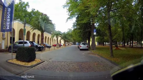


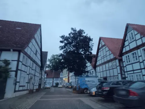


Herlingsburg
Monument and historic site · 4.2 km
Voreisenzeitliche Wall- und Fliehburg



GR047-3a
Monument and historic site · 4.3 km
Ehemalige Grenze zwischen dem Fürstentum Lippe und Fürstentum Paderborn
52 more on the map.
Parks, trails and playgrounds40



28 more on the map.
Restaurants and cafes101
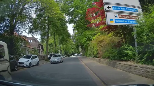
Restaurant Am Rathaus
Restaurant · 3.2 km
3 Brunnenstraße, Bad Pyrmont
Th-Tu 12:00-14:00, Th-Tu 17:00-21:00
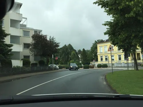
Alte Villa Schlossblick
Restaurant · 2.8 km
23 Kirchstraße, Bad Pyrmont
We-Sa 18:00-22:00; Su 12:00-14:30,18:00-21:30
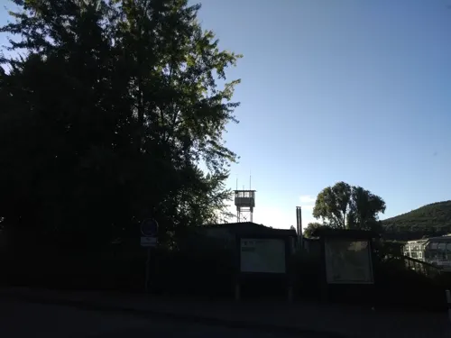
Café Restaurant Breitengrad
Restaurant · Pizza, Burger, Coffee Shop, Regional · 7.0 km
3 Kronenbruch, Schieder-Schwalenberg
Mo-Su 11:00-20:00

Gasthof Schellental
Restaurant · Regional · 4.6 km
3 Am Schellenhof, Bad Pyrmont
Apr-Sep: Th-Sa 17:00-21:00; Apr-Sep: Su 12:00-21:00
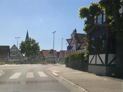
Panorama
Restaurant · Greek · 3.1 km
5 Heiligenangerstraße, Bad Pyrmont
Tu-Su 11:30-14:30,17:30-23:00, Mo 17:30-23:00
Restaurant Violett
Restaurant · Italian, Pizza, Pasta · 3.0 km
4 Kirchstraße
Mo, We-Fr 11:00-14:30, 17:00-23:00; Tu, Sa, Su 17:00-23:00
Tempo di Pizza
Restaurant · Italian, Pizza · 3.1 km
17 Kirchstraße, Bad Pyrmont
Tu-Fr 17:00-22:00; Sa 12:00-15:00,17:00-22:00; Su...
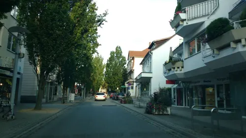
Wohnzimmer Café und Restaurant
Cafe · Italian · 3.1 km
21a Brunnenstraße, Bad Pyrmont
Tu-Su 09:00-15:00
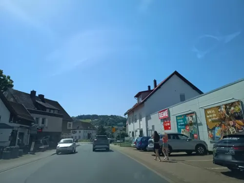


89 more on the map.
Where to stay33
Churches and places of worship21
Christuskirche
Church · Lutheran · 3.3 km
1 An der Stadtkirche, Bad Pyrmont
St. Georg
Church · Roman Catholic · 3.0 km
16 Bathildisstraße, Bad Pyrmont
St. Petri
Church · Lutheran · 3.2 km
2 An der Oesdorfer Kirche, Bad Pyrmont
Freikirche Missionsgemeinde Bad Pyrmont Gemeinderaum Missionsgemeinde Bad Pyrmont
Church · Evangelical · 3.5 km
19 Grießemer Straße, Bad Pyrmont
Shopping21
Gas and EV charging7
Schools, colleges and libraries9
INN-tegrativ gGmbH, Berufsförderungswerk Bad Pyrmont
School · 2.3 km
43 Winzenbergstraße, Bad Pyrmont
Healthcare7
Map of Lügde
250 places. The map loads OpenStreetMap tiles when you open it.
Getting there and nearby towns
Flugplatz Bielefeld (BFE) is the nearest airport with scheduled flights listed in OpenStreetMap, 48 km away.
- Aerzen 10 km north, about 10 min by car
- Steinheim 14 km southwest, about 14 min by car
- Salzhemmendorf 26 km northeast, about 26 min by car
- Rinteln 28 km northwest, about 28 min by car
- Springe 35 km northeast, about 35 min by car
- Vlotho 35 km northwest, about 35 min by car
- Obernkirchen 36 km north, about 36 min by car
- Porta Westfalica 38 km northwest, about 38 min by car
- Paderborn 43 km southwest, about 43 min by car
- Minden 43 km northwest, about 43 min by car
Drive times are estimates from straight-line distance, not routes.
Local news
Headlines from INDB.
Reviews, tips and questions
Loading what members have shared...
Sources and licences
- GeoNames (CC BY 4.0): population, coordinates, regions and time zone
- Mapillary (see each image): photos
- OpenStreetMap contributors (ODbL 1.0): places, airports, map data
- Wikidata (CC0 1.0): elevation, founding date, time zone, website
- Wikimedia Commons (see each image): photos
- Wikipedia (CC BY-SA 4.0): overview and history text
Photo credits
- Lüdge Stadtmauer Kleine Emmer, Benutzer:AxelHH, Public domain
- Lügde, St. Marien, Tsungam (changes by Rabanus Flavus ), CC BY-SA 4.0
- Lügde St. Marien Innen 03, Rabanus Flavus, CC0
- Lügde - 67 - Mittlere Str. 23 (1), Tsungam, CC BY-SA 3.0
- Lügde - 67 - Mittlere Str. 23 (12), Tsungam, CC BY-SA 3.0
- Lügde - 67 - Mittlere Str. 23 (11), Tsungam, CC BY-SA 3.0
- Lügde - 67 - Mittlere Str. 23 (3), Tsungam, CC BY-SA 3.0
- Seilerstraße, 1, Lügde, Landkreis Lippe, GeorgDerReisende, CC BY-SA 4.0
- Lügde St. Marien Innen 08, Rabanus Flavus, CC0
- Lügde St. Marien Innen 07, Rabanus Flavus, CC0
- Lügde St. Marien Innen 09, Rabanus Flavus, CC0
- Lügde St. Marien Innen 04, Rabanus Flavus, CC0
- Lügde - 49 - Kanalstr. 23, Tsungam, CC BY-SA 3.0
- Vordere Straße, 2, Lügde, Landkreis Lippe, GeorgDerReisende, CC BY-SA 4.0
- Lügde St. Marien Innen 05, Rabanus Flavus, CC0
- Lügde - 106 - Vordere Str. 35, Tsungam, CC BY-SA 3.0
- Lügde - 103 - Vordere Str. 18, Tsungam, CC BY-SA 3.0
- Lügde - 66 - Mittlere Str. 22 (1), Tsungam, CC BY-SA 3.0
- Rathaus Lügde, Falko Sieker, CC BY-SA 4.0
- Lügde St. Marien Innen 06, Rabanus Flavus, CC0
- Lügde - 102 - Vordere Str. 14, Tsungam, CC BY-SA 3.0
- Lügde - 67 - Mittlere Str. 23 (7), Tsungam, CC BY-SA 3.0
- Lügde - 03 - Am Markt 4, Tsungam, CC BY-SA 3.0
- Lügde St. Marien Innen 10, Rabanus Flavus, CC0
- Lügde St. Marien Innen 01, Rabanus Flavus, CC0
- Lügde - 02 - Am Markt 2, Tsungam, CC BY-SA 3.0
- Lügde, St. Marien, Gedenktafel Otto Günnewich, Tsungam, CC BY-SA 3.0
- Lügde St. Marien Innen 13, Rabanus Flavus, CC0
- Mittlere Straße 24, 1, Lügde, Landkreis Lippe, GeorgDerReisende, CC BY-SA 4.0
- Lügde St. Marien Innen 12, Rabanus Flavus, CC0
- Lügde - 68 - Mittlere Str. 24, Tsungam, CC BY-SA 3.0
- Lügde St. Marien Innen 02, Rabanus Flavus, CC0
- Lügde St. Marien Innen 11, Rabanus Flavus, CC0
- Lügde - 67 - Mittlere Str. 23 (9), Tsungam, CC BY-SA 3.0
- Ziegenbrunnen, 1, Lügde, Landkreis Lippe, GeorgDerReisende, CC BY-SA 4.0
- Lügde St. Marien Innen 00, Rabanus Flavus, CC0
- Lügde - 101 - Vordere Str. 13, Tsungam, CC BY-SA 3.0
- Seilerstraße 2a, 1, Lügde, Landkreis Lippe, GeorgDerReisende, CC BY-SA 4.0
- Ortsdurchfahrt Lügde, Falko Sieker, CC BY-SA 4.0
- Lügde - 65 - Mittlere Str. 18, Tsungam, CC BY-SA 3.0
- Tierpark-pyrmont-teich, A.Savin, CC BY-SA 3.0
- Schieder-Schwalenberg - Befestigungsanlage Alt Schieder (3), Tsungam, CC0
- Emmer03, Nikater, Public domain
- Lügde - 2014-09-08 - Evangelische Kirche Elbrinxen (6), Tsungam, CC BY-SA 4.0
- Wörderfeld, Ostern 2010, WOerder0, CC BY-SA 3.0
- Lügde - 42 - Höxterstr. 9 (2), Tsungam, CC0
- Herlingsburg-Wall-Eingang, Grugerio, CC BY-SA 3.0
- Schieder-Schwalenberg - 107 - Kahlenbergturm (2), Tsungam, CC BY-SA 3.0
- BadPyrmont-QH1 2008-10-31, MHM-com, CC BY-SA 3.0
- Aerial image of the Schloss Pyrmont, Carsten Steger, CC BY-SA 4.0
- Lügde - 2014-09-08 - Schwalenberger Wald, Himmelsteich (3), Tsungam, CC BY-SA 4.0
- Bad Pyrmont St Georg 04, Rabanus Flavus, CC0
- Burg-Schildberg-Lügde, Carl Schuchhardt, Public domain
- Bad Pyrmont Schauspielhaus 02, Rabanus Flavus, CC0
- Bad Pyrmont St Petri 03, Rabanus Flavus, CC0
- Bismarckturm Bad Pyrmont, Specializer, CC BY-SA 4.0
- Evangelisch-lutherische Stadtkirche, Thomas Fietzek, CC BY-SA 3.0
- Lügde - 090 - Seilerstr. 6 (3), Tsungam, CC BY-SA 3.0
- Schulstraße 33 (Bad Pyrmont), Gliwi, CC BY-SA 4.0
- Bad Pyrmont - 2022-01-30 - Kapelle Hagen (DSC 4285), Tsungam, CC BY-SA 4.0
- Bad Pyrmont, Kriegerdenkmal 1897 02, Rabanus Flavus, CC0
- Lügde - 2015-05-12 - LIP-047 Schildberg (87), Tsungam, CC BY-SA 3.0
- Lügde - 2015-05-12 - LIP-046 Winzenberg (06), Tsungam, CC BY-SA 3.0
- Lügde - 2015-05-12 - LIP-048 Bierberg (41), Tsungam, CC BY-SA 3.0
- Lügde - 2015-05-12 - Emmertal, Tsungam, CC BY-SA 3.0
- Schieder-Schwalenberg - 2015-05-12 - Emmertal (3), Tsungam, CC BY-SA 3.0
- Lügde - 2015-05-24 - LIP-049 Ilsenbach (11), Tsungam, CC BY-SA 3.0
- Lügde - 2015-05-29 - LIP-030+LIP-064 (03), Tsungam, CC BY-SA 3.0
- Blomberg - 2015-05-15 - LIP-054 (2), Tsungam, CC BY-SA 3.0
- Lügde - 2020-05-03 - ND Mergelgrube Dörenberg (IMG 20200503 155105), Tsungam, CC BY-SA 4.0
- Dunsthöhle 01, Rabanus Flavus, CC0
- Kurpark Bad Pyrmont - panoramio, qwesy qwesy, CC BY 3.0
- Street-level photo, derlipper, CC BY-SA 4.0
- Street-level photo, hendel, CC BY-SA 4.0
- Street-level photo, thetornado76, CC BY-SA 4.0
- Street-level photo, thetornado76, CC BY-SA 4.0
- Street-level photo, thetornado76, CC BY-SA 4.0
- Street-level photo, postgelb, CC BY-SA 4.0
- Street-level photo, derlipper, CC BY-SA 4.0
- Street-level photo, thetornado76, CC BY-SA 4.0
- Street-level photo, hendel, CC BY-SA 4.0
- Street-level photo, Schmarvis, CC BY-SA 4.0
- Street-level photo, postgelb, CC BY-SA 4.0
- Street-level photo, thetornado76, CC BY-SA 4.0
- Street-level photo, thetornado76, CC BY-SA 4.0
- Street-level photo, thetornado76, CC BY-SA 4.0
- Street-level photo, thetornado76, CC BY-SA 4.0
- Street-level photo, thetornado76, CC BY-SA 4.0
- Street-level photo, postgelb, CC BY-SA 4.0
- Street-level photo, postgelb, CC BY-SA 4.0
- Street-level photo, derlipper, CC BY-SA 4.0
- Street-level photo, derlipper, CC BY-SA 4.0
- Street-level photo, derlipper, CC BY-SA 4.0
- Street-level photo, Schmarvis, CC BY-SA 4.0
- Street-level photo, hendel, CC BY-SA 4.0
- Street-level photo, postgelb, CC BY-SA 4.0
- Street-level photo, derlipper, CC BY-SA 4.0
- Street-level photo, derlipper, CC BY-SA 4.0


Page built November 8, 2026. Spotted a mistake? Tell us or suggest a place.