


Why visit Bösel
Townapedia lists 16 museums and landmarks, 51 parks and trails, 72 places to eat, 13 places to stay and 7 attractions in and around town.
Highlights include Honig-Hof Göken, Friesoyther Frischehof, Postgeschichtliches Museum and Kulturzentrum Alte Wassermühle.
Weather in Bösel
Forecast from MET Norway (CC BY 4.0). Full forecast
About Bösel
Bösel (German pronunciation: [ˈbøːzl̩]; Low German: Bäsel) is a municipality in the district of Cloppenburg, in Lower Saxony, Germany.
From the Wikipedia article Bösel (this version), under CC BY-SA 4.0.
Things to do7
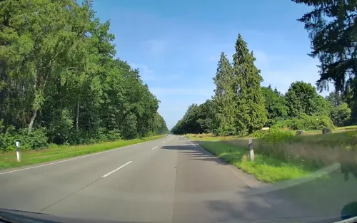
Honig-Hof Göken
Farm and orchard · 4.5 km
67 Thüler Straße, Friesoythe
Mo-Fr 08:00-18:00; Sa,Su,PH off

Friesoyther Frischehof
Farm and orchard · 7.8 km
10 Ellerbrocker Straße, Friesoythe
Mo-Fr 08:00-18:00; Sa 08:00-15:00; Su, PH off

Museums and landmarks16
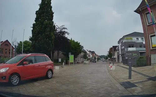
Postgeschichtliches Museum
Museum · 6.7 km
1a Lange Straße, Friesoythe
Mar-Oct Mo-Fr 08:00-11:30; Nov-Feb "Besichtigung nach vorheriger...
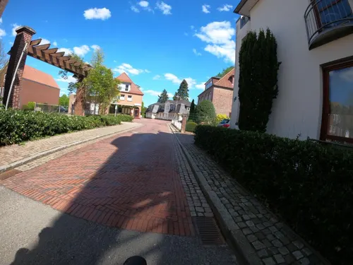
Kulturzentrum Alte Wassermühle
Monument and historic site · 6.5 km
6 Alte Mühlenstraße, Friesoythe
Mo-Fr 10:00-12:00; We off



4 more on the map.
Parks, trails and playgrounds51





39 more on the map.
Restaurants and cafes72


GS Café
Cafe · 5.2 km
2 Bürgermeister-Olberding-Straße, Friesoythe
Mo-Sa 06:00-22:00; Su 07:00-20:00; PH 07:00-20:00
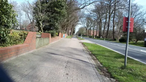
Gasthof zur Linde
Restaurant · German · 5.2 km
52 Thüler Straße, Friesoythe
Mo-Tu 17:30-21:30; Th-Sa 11:30-13:30, 17:30-21:30; Su 11:30-13:30,...
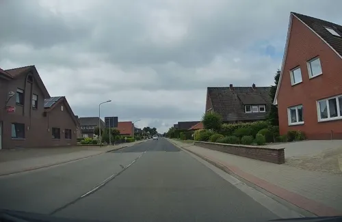
LUCKY STAR
Restaurant · Chinese, Asian, Japanese, Teppanyaki · 7.3 km
3 Schwaneburger Straße, Friesoythe
Mo-Th 17:00-22:30; Fr,Sa 12:00-15:00,17:00-22:30; Su 12:00-22:30;...
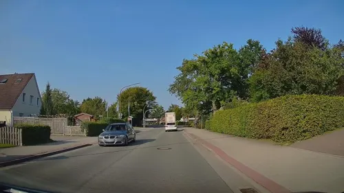
Pizzeria La Roma
Restaurant · Pizza, Italian · 7.0 km
18 Barßeler Straße, Friesoythe
Tu-Su 11:00-22:30, Mo off
Samos Grill
Restaurant · German, Greek, Barbecue, Burger · 7.0 km
11 Hauptstraße, Garrel
Mo-Su 12:00-23:00

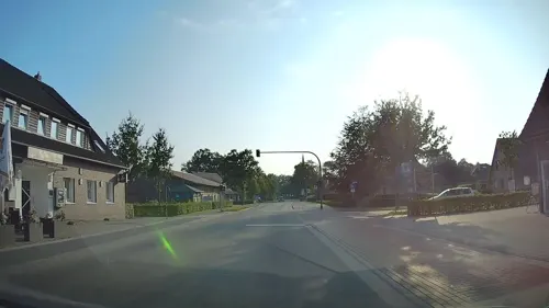
Bäckerei Glup
Bakery · 6.0 km
41 Altenoyther Straße, Friesoythe
Mo-Fr 06:00-18:00; Sa 06:00-13:00; Su 08:00-11:00
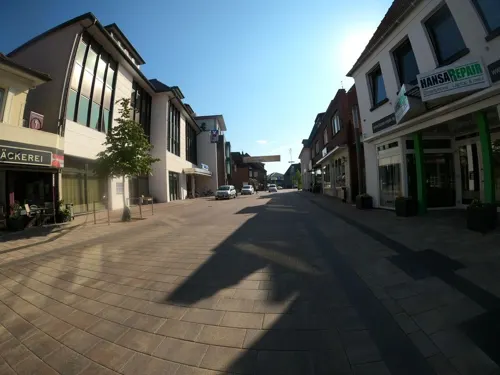


Stadtbäckerei Frerker
Cafe · 6.5 km
12 Kirchstraße, Friesoythe
Mo-Fr 05:30-18:00; Sa 05:30-16:30; Su 06:30-17:00
Stadtbäckerei Frerker
Bakery · 6.9 km
2a Böseler Straße, Garrel
Mo-Fr 06:30-18:00; Sa 06:30-16:00; Su 08:00-11:00
60 more on the map.
History
Bösel was first mentioned in 1080 under the name Borsla (= "Forest at a wavy bank") in a testimonial of the bishop of Osnabrück.
The first written document of a chapel in Bösel is dated with the year 1574, but Bösel was not separated from its mother church in Altenoythe and made an independent commune until 1876. Today Bösel consists of nine areas (Bösel-Ort, Edewechterdamm, Glaßdorf, Hülsberg, Osterloh, Ostland, Overlahe, Petersdorf und Westerloh).
From the History section of Bösel on Wikipedia, under CC BY-SA 4.0.
Where to stay13
Churches and places of worship12
St. Johannes Baptist Kirche
Church · Catholic · 5.5 km
31 Thüler Kirchstraße, Friesoythe
St. Peter und Paul
Church · Roman Catholic · 7.1 km
Kirchstraße, Garrel
Shopping30
Gas and EV charging15
Schools, colleges and libraries16
Healthcare8
Map of Bösel
240 places. The map loads OpenStreetMap tiles when you open it.
Getting there and nearby towns
Flugplatz Varrelbusch (VAC) is the nearest airport with scheduled flights listed in OpenStreetMap, 12 km away.
- Friesoythe 7 km west, about 7 min by car
- Garrel 7 km southeast, about 7 min by car
- Edewecht 14 km north, about 14 min by car
- Molbergen 16 km south, about 16 min by car
- Wardenburg 17 km east, about 17 min by car
- Cloppenburg 19 km south, about 19 min by car
- Bad Zwischenahn 20 km north, about 20 min by car
- Großenkneten 21 km east, about 21 min by car
- Esterwegen 22 km west, about 22 min by car
- Oldenburg 23 km northeast, about 23 min by car
Drive times are estimates from straight-line distance, not routes.
Local news
Headlines from INDB.
Reviews, tips and questions
Loading what members have shared...
Sources and licences
- GeoNames (CC BY 4.0): population, coordinates, regions and time zone
- Mapillary (see each image): photos
- OpenStreetMap contributors (ODbL 1.0): places, airports, map data
- Wikidata (CC0 1.0): elevation, founding date, time zone, website
- Wikimedia Commons (see each image): photos
- Wikipedia (CC BY-SA 4.0): overview and history text
Photo credits
- Bösel Pallert, Corradox, CC BY-SA 3.0
- St. Cäcilia-Kirche in Bösel, JoachimKohler-HB, CC BY-SA 4.0
- Der "Lebensbrunnen" an der Kath. Kirche Bösel (2023), JoachimKohler-HB, CC BY-SA 4.0
- Kirche von hinten St. Cäcilia in Bösel (2024), JoachimKohler-HB, CC BY-SA 4.0
- ... Heldentod ... - Ruhet in Frieden. (Bösel, 2024), JoachimKohler-HB, CC BY-SA 4.0
- Der Gekreuzigte (überdacht) an St. Cäcilia in Bösel, JoachimKohler-HB, CC BY-SA 4.0
- Rathaus in Bösel - Rückseitig der Kirche zugewandt (2024), JoachimKohler-HB, CC BY-SA 4.0
- Portal der Cäcilia-Kirche in Bösel (2024), JoachimKohler-HB, CC BY-SA 4.0
- Kunst im Kreisverkehr bei der Cäcilia-Kirche in Bösel (2024), JoachimKohler-HB, CC BY-SA 4.0
- Kreisverkehr bei der Cäcilia-Kirche in Bösel (2024), JoachimKohler-HB, CC BY-SA 4.0
- Fachwerkscheune Heimatmuseum Bösel (2024), JoachimKohler-HB, CC BY-SA 4.0
- Heimathaus, Heimatmuseum Bösel (2024), JoachimKohler-HB, CC BY-SA 4.0
- Heimathaus Heimatmuseum in Bösel (2024), JoachimKohler-HB, CC BY-SA 4.0
- Bösel - Landkreis Cloppenburg (2024), JoachimKohler-HB, CC BY-SA 4.0
- Bösel- westlicher Ortseingang (2023), JoachimKohler-HB, CC BY-SA 4.0
- Silos Themann Kraftfutter Bösel (2023), JoachimKohler-HB, CC BY-SA 4.0
- Restmoor Dreesberg - 01, Muschelschubser, CC BY-SA 3.0
- Church St. Vitus Altenoythe, Roman Köhler, CC BY-SA 3.0
- Evening at the Vehnemoor, Darius Dzinnik, CC BY-SA 3.0
- Friesoythe - Lange Straße + St.-Marien-Kirche 02 ies, Frank Vincentz, CC BY-SA 3.0
- Garrel - St Peter u Paul v S, Flodur63, CC BY-SA 4.0
- St. Peter und Paul - Petersdorf, HardcoreJan, CC BY-SA 4.0
- St. Johannes Baptist Thüle, Jacek Rużyczka, CC BY-SA 4.0
- Gibbongehege Thüle, Allie_Caulfield, CC BY 2.0
- Restmoor Dreesberg - 03, Muschelschubser, CC BY-SA 3.0
- Volvo FM330 (3. G) und Mercedes-Benz Actros Silofahrzeuge (2023), JoachimKohler-HB, CC BY-SA 4.0
- Dat Heimathuus in Bösel (2024), JoachimKohler-HB, CC BY-SA 4.0
- Der Seher von Friesoythe (2023), JoachimKohler-HB, CC BY-SA 4.0
- Street-level photo, hendel, CC BY-SA 4.0
- Street-level photo, jmsbert, CC BY-SA 4.0
- Street-level photo, hendel, CC BY-SA 4.0
- Street-level photo, VIA_KK, CC BY-SA 4.0
- Street-level photo, jmsbert, CC BY-SA 4.0
- Street-level photo, hendel, CC BY-SA 4.0
- Street-level photo, hendel, CC BY-SA 4.0
- Street-level photo, hendel, CC BY-SA 4.0
- Street-level photo, VIA_KK, CC BY-SA 4.0
- Street-level photo, hendel, CC BY-SA 4.0
- Street-level photo, camdrive2000, CC BY-SA 4.0
- Street-level photo, jman1983, CC BY-SA 4.0
- Street-level photo, camdrive2000, CC BY-SA 4.0
- Street-level photo, hendel, CC BY-SA 4.0
- Street-level photo, camdrive2000, CC BY-SA 4.0
- Street-level photo, hendel, CC BY-SA 4.0
- Street-level photo, jmsbert, CC BY-SA 4.0
- Street-level photo, camdrive2000, CC BY-SA 4.0
- Street-level photo, VIA_KK, CC BY-SA 4.0


Page built November 9, 2026. Spotted a mistake? Tell us or suggest a place.