


Why visit Holzminden
Townapedia lists 113 museums and landmarks, 38 parks and trails, 140 places to eat, 22 places to stay and 34 attractions in and around town.
Highlights include Auerhahnkopf, Roxy-Kino, Schloß Bevern and Station Nr. 28 des Preußischen optischen Telegrafen.
Weather in Holzminden
Forecast from MET Norway (CC BY 4.0). Full forecast
About Holzminden
Holzminden (German pronunciation: [hɔltsˈmɪndn̩] ; Low German: Holtsminne) is a town in southern Lower Saxony, Germany. It is the capital of the district of Holzminden. It is located on the river Weser, which at this point forms the border with the state of North Rhine-Westphalia.
From the Wikipedia article Holzminden (this version), under CC BY-SA 4.0.
Things to do34




22 more on the map.
Museums and landmarks113

Schloß Bevern
Monument and historic site · 4.8 km
Inmitten von Bevern gelegenes Schloss, zweigeschossige Vierflügelanlage um einen quadratischen Innenhof, reich gegliedert und...
1 Am Schloss, Bevern

Station Nr. 28 des Preußischen optischen Telegrafen
Monument and historic site · 7.6 km
Station Nr. 28 des preußischen optischen Telegrafen Berlin-Köln-Koblenz (1832 - 1849): „Burgberg“ Bevern


Forum Anja Niedringhaus
Museum · 7.6 km
33 Westerbachstraße, Höxter
Apr-Oct: Tu-Su,PH 10:00-17:00; Nov-Mar: open "Besuch/Führung...
Forum Jacob Pins
Museum · 7.6 km
35-37 Westerbachstraße, Höxter
Apr 01-Nov 01: Tu-Th 10:00-17:00; Apr 01-Nov 01: Fr 10:00-19:30;...

Der Umfahrstein
Monument and historic site
Schutz-Monolith
2 Johannismarkt, Holzminden
Emperor William Tower
Monument and historic site · 2.2 km
Tower in Germany


101 more on the map.
Parks, trails and playgrounds38



26 more on the map.
Restaurants and cafes140

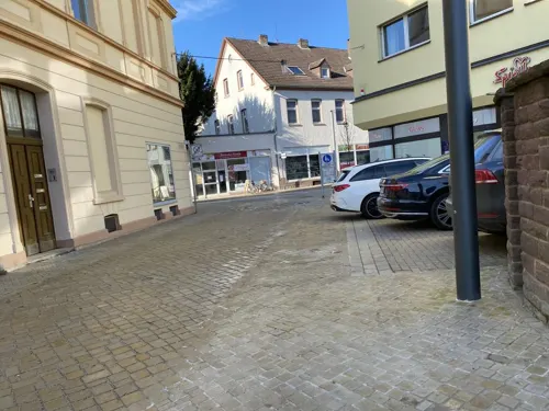
Agohan
Restaurant · Sushi, Vietnamese · 7.5 km
1 Stummrigestraße, Höxter
Mo-Th 11:00-22:30; Fr-Sa 11:00-23:00; Su 12:00-22:30
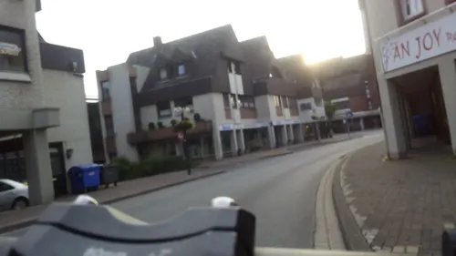
Anjoy
Restaurant · Asian · 7.3 km
12 An der Kilianikirche, Höxter
Mo off; Tu-Su 11:30-15:00, 17:30-22:00
Café am Räuschenberg
Cafe · Breakfast, Cake, Coffee Shop · 5.0 km
100 Räuschenbergstraße, Höxter
Tu-Sa 11:00-18:00; Su 09:30-18:00
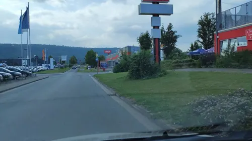
China Garten
Restaurant · Chinese · 2.1 km
10 Bülte, Holzminden
Mo off; Tu-Su,PH 11:30-15:00,17:30-23:00

Das Ehrlich
Restaurant · Pizza, Seafood · 7.3 km
3 Am Markt, Höxter
We 11:00-14:00, 17:00-22:00; Th-Sa 17:00-22:00; Su 11:00-14:00, 17:00-21:00
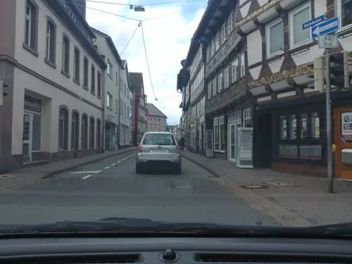
Eis Engelchen Höxter
Ice cream · Ice Cream · 7.5 km
1 Marktstraße, Höxter
Mo-Th 13:00-17:00; Fr 13:00-18:00; Sa 11:00-17:00; Su 12:00-18:00
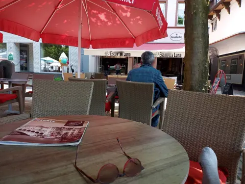
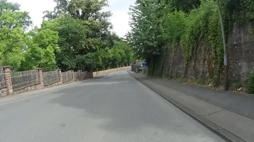
Felsenkeller Holzminden
Restaurant · German · 1.0 km
24 Hoher Weg, Holzminden
We-Sa 11:00-24:00; Su 11:00-21:00
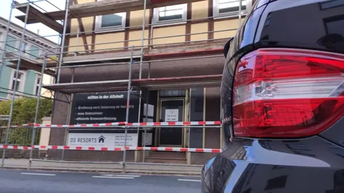
Hoa Hong ASIA
Restaurant · Vietnamese · 7.1 km
14 Corbiestraße, Höxter
Tu-Sa 12:00-14:30,17:30-22:00; Su closed; PH closed


128 more on the map.
History
Holzminden is first mentioned in the 9th century as Holtesmeni. However, the name did not at this time refer to the present city, but to the village of Altendorf, the "old village", which was incorporated into the city in 1922.
During the reign of Louis the Pious (814–840), monks from the Abbey of Corbie in France came to this part of Germany and founded a daughter house at Hethis in the Solling. It was later abandoned due to lack of access to water, and a new monastery, Corbeia nova (Corvey Abbey), opened close to the river.
The settlement is believed to have come into being in the 6th-7th centuries, along with other settlements in the vicinity. As Holzminden was granted municipal liberties, allowing greater privileges to its inhabitants and attracting new settlers from the surrounding hinterland, other villages were subsequently abandoned.
In 1200, the town was brought under the protection of the prince's castle of Everstein, and by 1245 it had received a charter, which was granted by the count of Everstein. The town's coat of arms shows the Everstein lion rampant within the open town gate.
From 1408, the town belonged to the Welfen princes; and from the 16th century to the princes of Brunswick of the Wolfenbüttel line. From the 16th century until 1942, Holzminden therefore laid within Brunswick-Lüneburg.
From the History section of Holzminden on Wikipedia, under CC BY-SA 4.0.
Where to stay22
Churches and places of worship24
Koptisch-Othodoxes Kloster der heiligen Jungfrau Maria und des heiligen Mauritius
Church · Coptic Orthodox · 7.0 km
1a Propsteistraße, Höxter
Shopping38
Gas and EV charging13
Schools, colleges and libraries29
Healthcare15
Map of Holzminden
250 places. The map loads OpenStreetMap tiles when you open it.
Getting there and nearby towns
Kassel Airport (KSF) is the nearest airport with scheduled flights listed in OpenStreetMap, 46 km away.
- Höxter 7 km southwest, about 7 min by car
- Lügde 20 km northwest, about 20 min by car
- Uslar 23 km southeast, about 23 min by car
- Steinheim 25 km west, about 25 min by car
- Aerzen 28 km northwest, about 28 min by car
- Salzhemmendorf 28 km north, about 28 min by car
- Hofgeismar 37 km south, about 37 min by car
- Northeim 40 km east, about 40 min by car
- Bad Gandersheim 40 km east, about 40 min by car
- Lemgo 44 km northwest, about 44 min by car
Drive times are estimates from straight-line distance, not routes.
Local news
Headlines from INDB.
Reviews, tips and questions
Loading what members have shared...
Sources and licences
- GeoNames (CC BY 4.0): population, coordinates, regions and time zone
- Mapillary (see each image): photos
- OpenStreetMap contributors (ODbL 1.0): places, airports, map data
- Wikidata (CC0 1.0): elevation, founding date, time zone, website, landmarks and historic places
- Wikimedia Commons (see each image): photos
- Wikipedia (CC BY-SA 4.0): overview and history text
Photo credits
- Holzminden Herbst 2005, E. Belik, CC BY-SA 3.0
- Holzminden Umfahrstein, Reise Reise, CC BY-SA 4.0
- Lutherkirche Holzminden, Jan Stubenitzky ( Dehio ), CC BY-SA 3.0
- Johannisstraße 2, 1, Holzminden, Landkreis Holzminden, GeorgDerReisende, CC BY-SA 4.0
- Johannisstraße 1, 1, Holzminden, Landkreis Holzminden, GeorgDerReisende, CC BY-SA 4.0
- Markt 18, 1, Holzminden, Landkreis Holzminden, GeorgDerReisende, CC BY-SA 4.0
- Obere Straße 50, 3, Holzminden, Landkreis Holzminden, GeorgDerReisende, CC BY-SA 4.0
- Obere Straße 52, 3, Holzminden, Landkreis Holzminden, GeorgDerReisende, CC BY-SA 4.0
- Obere Straße 44, 1, Holzminden, Landkreis Holzminden, GeorgDerReisende, CC BY-SA 4.0
- Markt 11, 1, Holzminden, Landkreis Holzminden, GeorgDerReisende, CC BY-SA 4.0
- Weserstraße 2, 1, Holzminden, Landkreis Holzminden, GeorgDerReisende, CC BY-SA 4.0
- Weserstraße 4, 1, Holzminden, Landkreis Holzminden, GeorgDerReisende, CC BY-SA 4.0
- Kirchplatz, 1, Holzminden, Landkreis Holzminden, GeorgDerReisende, CC BY-SA 4.0
- Obere Straße 50, 2, Holzminden, Landkreis Holzminden, GeorgDerReisende, CC BY-SA 4.0
- Weserstraße 6, 1, Holzminden, Landkreis Holzminden, GeorgDerReisende, CC BY-SA 4.0
- Obere Straße 52+50, 1, Holzminden, Landkreis Holzminden, GeorgDerReisende, CC BY-SA 4.0
- Obere Straße 52, 2, Holzminden, Landkreis Holzminden, GeorgDerReisende, CC BY-SA 4.0
- Markt 16, 1, Holzminden, Landkreis Holzminden, GeorgDerReisende, CC BY-SA 4.0
- Markt 9, 1, Holzminden, Landkreis Holzminden, GeorgDerReisende, CC BY-SA 4.0
- Sonnenuhr vor der Lutherkirche Holzminden, Gerd Fahrenhorst, CC BY 4.0
- Holzminden Sonnenuhr, Reise Reise, CC BY-SA 4.0
- Kirchplatz 1, 2, Holzminden, Landkreis Holzminden, GeorgDerReisende, CC BY-SA 4.0
- Markt 7, 1, Holzminden, Landkreis Holzminden, GeorgDerReisende, CC BY-SA 4.0
- Kirchplatz 1, 3, Holzminden, Landkreis Holzminden, GeorgDerReisende, CC BY-SA 4.0
- Marktbrunnen Holzminden, Gerd Fahrenhorst, CC BY 4.0
- Bücherschrank, 1, Kirchplatz, Holzminden, Landkreis Holzminden, GeorgDerReisende, CC BY-SA 4.0
- Stele an der Weserbrücke Holzminden, Gerd Fahrenhorst, CC BY 4.0
- Kirchplatz 3, 1, Holzminden, Landkreis Holzminden, GeorgDerReisende, CC BY-SA 4.0
- Johannismarkt 1, 2, Holzminden, Landkreis Holzminden, GeorgDerReisende, CC BY-SA 4.0
- Markt 12+14, 1, Holzminden, Landkreis Holzminden, GeorgDerReisende, CC BY-SA 4.0
- Weserstraße 7, 1, Holzminden, Landkreis Holzminden, GeorgDerReisende, CC BY-SA 4.0
- Weserstraße 8, 1, Holzminden, Landkreis Holzminden, GeorgDerReisende, CC BY-SA 4.0
- Kirchplatz 1, 1, Holzminden, Landkreis Holzminden, GeorgDerReisende, CC BY-SA 4.0
- Johannismarkt 2a, 1, Holzminden, Landkreis Holzminden, GeorgDerReisende, CC BY-SA 4.0
- Markt 5, 1, Holzminden, Landkreis Holzminden, GeorgDerReisende, CC BY-SA 4.0
- Holzminden, die Hintere Straße, Dguendel, CC BY 3.0
- Markt 10, 1, Holzminden, Landkreis Holzminden, GeorgDerReisende, CC BY-SA 4.0
- Weserstraße 5, 1, Holzminden, Landkreis Holzminden, GeorgDerReisende, CC BY-SA 4.0
- Hintere Straße 25, 2, Holzminden, Landkreis Holzminden, GeorgDerReisende, CC BY-SA 4.0
- Holzminden, Obere Strasse, Wilhelm Rosenkranz, CC BY 2.0
- Kaiser Wilhelm Turm (Holzminden), Fchristian, CC BY-SA 4.0
- Corvey Anlage vom Torhaus, Aeggy, CC BY 3.0
- Burgberg bevern panorama, Sönke Kraft aka Arnulf zu Linden, CC BY-SA 3.0
- NSG Stuckenstein, ehemaliger Hutewald, Gernot HOL, CC0
- Kilianikirche, Marohx, CC BY-SA 3.0
- Marienkirche Hoexter aussen, Sabine Schmithals, CC BY 3.0
- Höxter - 2017-04-17 - Kloster Brenkhausen (23), Tsungam, CC BY-SA 4.0
- Höxter König-Wilhelm-Gymnasium, Spunky, Public domain
- Casa-arriba, Akolbe, CC BY-SA 3.0
- Kirche Brenkhausen, Spunky, Public domain
- St. Nicolai-Kirche (Höxter), Bodo Kubrak, CC0
- Suedliche Burgberghaenge 01, Jan Stubenitzky ( Dehio ), CC BY-SA 3.0
- Tom Roden 3, Spunky, Public domain
- Tonenburg Albaxen 2009, Varus111, Public domain
- Höxter - 2018-04-17 - NSG Stahler Ufer (06), Tsungam, CC BY-SA 4.0
- St. Ansgar Krankenhaus Höxter 2026-05, Gerd Fahrenhorst, CC BY 4.0
- StPauli Holzminden 01, Jan Stubenitzky ( Dehio ), CC BY-SA 3.0
- StJosef Holzminden, Jan Stubenitzky ( Dehio ), CC BY-SA 4.0
- StHedwig Bevern 02, Dehio, CC BY-SA 4.0
- StJohannis Bevern, Dehio, CC BY-SA 4.0
- Asklepios Weserbergland-Klinik 1, Gerd Fahrenhorst, CC BY 4.0
- Schloss Bevern 2013, Frank H. aus B., CC BY-SA 4.0
- Adam und Eva-Haus Höxter, erbaut 1571, JoachimKohler-HB, CC BY-SA 4.0
- Höxter - 2018-04-17 - LSG-4122-0034 Feldberg bei Stahle (24), Tsungam, CC BY-SA 4.0
- Höxter - 2022-05-24 - NSG Albaxer Trift (DSC 7348), Tsungam, CC BY-SA 4.0
- Höxter - 2023-05-25 - NSG Finkenbruch (DSC 1989), Tsungam, CC BY-SA 4.0
- Höxter - 2022-06-11 - NSG Heinenwiese (DSC 8320), Tsungam, CC BY-SA 4.0
- Höxter - 2017-04-17 - NSG Räuschenberg (17), Tsungam, CC BY-SA 4.0
- Höxter - 2018-03-18 - HX-050 Teufelsschlucht (22), Tsungam, CC BY-SA 4.0
- Höxter - 2022-05-24 - NSG Tonenburg und Saumermündung (DSC 7420), Tsungam, CC BY-SA 4.0
- Corvey Westwerk, Spunky, Public domain
- TH OWL - LE Panorama, Gut informiert, CC BY-SA 4.0
- Höxter - 2018-04-17 - LSG-4122-0034 Feldberg bei Stahle (22), Tsungam, CC BY-SA 4.0
- Street-level photo, Perestine, CC BY-SA 4.0
- Street-level photo, klausx, CC BY-SA 4.0
- Street-level photo, ma1pp1er, CC BY-SA 4.0
- Street-level photo, imoex69, CC BY-SA 4.0
- Street-level photo, imoex69, CC BY-SA 4.0
- Street-level photo, ma1pp1er, CC BY-SA 4.0
- Street-level photo, ma1pp1er, CC BY-SA 4.0
- Street-level photo, zoegglmeyr, CC BY-SA 4.0
- Street-level photo, changchun1, CC BY-SA 4.0
- Street-level photo, Langfahrer, CC BY-SA 4.0
- Street-level photo, cageythree, CC BY-SA 4.0
- Street-level photo, ImoEx, CC BY-SA 4.0
- Street-level photo, ImoEx, CC BY-SA 4.0
- Street-level photo, cageythree, CC BY-SA 4.0
- Street-level photo, Langfahrer, CC BY-SA 4.0
- Street-level photo, ma1pp1er, CC BY-SA 4.0
- Street-level photo, klausx, CC BY-SA 4.0
- Street-level photo, hotteliene, CC BY-SA 4.0
- Street-level photo, hotteliene, CC BY-SA 4.0
- Street-level photo, cageythree, CC BY-SA 4.0
- Street-level photo, ImoEx, CC BY-SA 4.0
- Street-level photo, zoegglmeyr, CC BY-SA 4.0
- Street-level photo, zoegglmeyr, CC BY-SA 4.0
- Street-level photo, zoegglmeyr, CC BY-SA 4.0


Page built November 8, 2026. Spotted a mistake? Tell us or suggest a place.