


Burscheid, Germany
Burscheid is a town of 19,215 people in North Rhine-Westphalia, Germany.
Why visit Burscheid
Townapedia lists 38 museums and landmarks, 25 parks and trails, 63 places to eat, 6 places to stay and 15 attractions in and around town.
Highlights include Thomashof, Grunder Hof, Ehem. Bahnhof Pattscheid and Maria in der Aue.
Weather in Burscheid
Forecast from MET Norway (CC BY 4.0). Full forecast
About Burscheid
Burscheid (German pronunciation: [ˈbʊʁʃaɪt]) is a town in the Rheinisch-Bergischer district, in North Rhine-Westphalia, Germany. The town is known for its sub-communities (somewhat equivalent to the American concept of neighborhoods) and the town centre with its marketplace and churches.
From the Wikipedia article Burscheid (this version), under CC BY-SA 4.0.
Things to do15

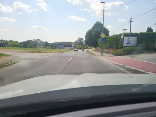
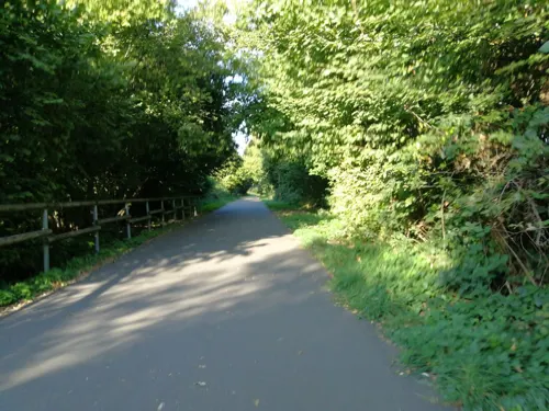
Thomashof
Farm and orchard · Regional · 2.0 km
Restaurant und Biergarten
69 Hammerweg
Mo-Sa 09:00-18:30; Su 10:00-18:00
Hof-Laden Bakker
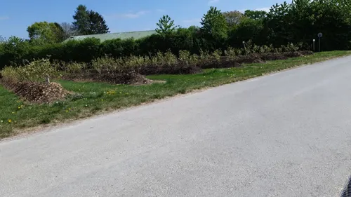
Farm and orchard · 4.4 km
2 Oberölbach, Leverkusen
Fr 10:00-13:00,15:00-18:00; Sa 10:00-13:00
Mönchhof
Farm and orchard · 3.5 km
13b Großhamberg, Burscheid
Th,Fr 10:00-12:00,15:00-18:00; Sa 10:00-13:00
Köttershof
Farm and orchard · 3.1 km
15 Köttershof, Leverkusen
Mo-Fr 09:00-12:00,15:00-18:30; Sa 09:00-13:00

3 more on the map.
Museums and landmarks38

Ehem. Bahnhof Pattscheid
Monument and historic site · 3.8 km
456 Burscheider Straße, Leverkusen

Brunnenhaus
Monument and historic site · 3.9 km
Ehem. Hof- und Gesindehaus des benachbarten Schloss Haniel
2 In der Aue, Wermelskirchen


Gut Luchtenberg
Monument and historic site · 3.0 km
2 Luchtenberg, Wermelskirchen

Rittersitz Bechhausen
Monument and historic site · 3.7 km
Bechhauser Weg, Leichlingen (Rheinland)

Gräber der Grafen und Herzöge von Berg
Monument and historic site · 3.6 km
Grabstätten der Grafen und Herzöge von Berg vom 12. bis ins 16. Jahrhundert, gelegen im Herzogenchor, innerhalb der ehem. Klosterkirche.
26 more on the map.
Parks, trails and playgrounds25

Märchenwald Altenberg
Sports field and stadium · German · 3.0 km
15 Märchenwaldweg, Odenthal
Apr-Oct 10:00-19:00; Nov-Mar 10:00-sunset



Bibelgarten Weltersbach
Park · 3.6 km
Das kombinierte Foto zeigt nur 3 Beispiele der dort befindlichen Stationen mit zugehörigen Schildern. Es gibt noch mehr zu sehen.


Dorfplatz Blecher Blumenweg
Playground · 3.0 km
May-Oct Mo-Fr 09:00-21:00; May-Oct Sa,Su 09:00-20:00; Nov-Apr...



Klosterlandschaftsweg Altenberg
Hiking and trails · 4.0 km
Dieser Rundweg führt über zehn Stationen durch die Landschaft um die ehemalige Zisterzienser-Abtei Altenberg mit Informationstafel zur...
13 more on the map.
Restaurants and cafes63

Akropolis
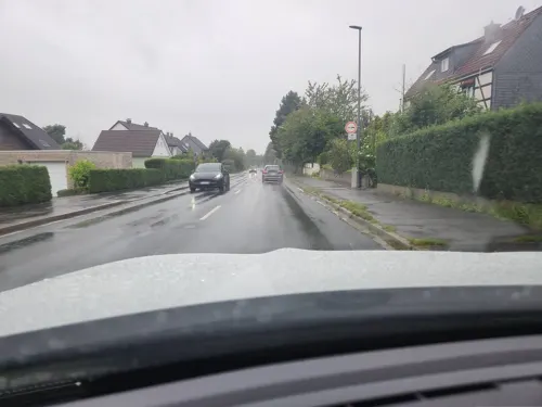
Restaurant · Greek · 3.3 km
16 Metzholz, Leichlingen
Mo-Sa 17:30-23:00; Su 11:30-14:30, 17:00-23:00

Cramerstuben
Restaurant · German, Balkan · 3.3 km
165 Bergstraße, Odenthal
Fr-Tu 11:30-14:30, 17:30-23:00
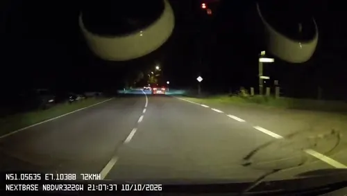
Japanhaus
Restaurant · Japanese · 3.2 km
270 Berliner Straße, Leverkusen
Mo-Sa 11:30-15:00,17:30-23:00; Su,PH 11:30-23:00
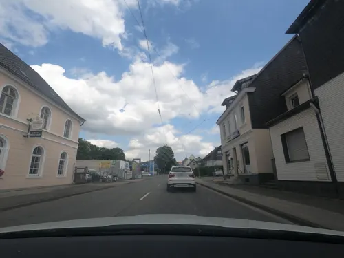
Korfu
Restaurant · Greek · 0.8 km
43 Höhestraße, Burscheid
Tu-Fr 12:00-14:30,17:30-22:30; Sa 17:30-22:30; Su 12:00-14:30,17:30-22:00
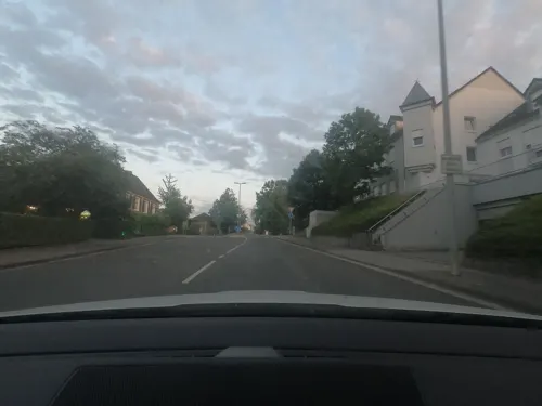
Plaka
Restaurant · Greek · 4.4 km
2 Kapellenstraße, Leverkusen
Tu-Sa 17:00-22:00; Su 12:00-21:00; PH unknown
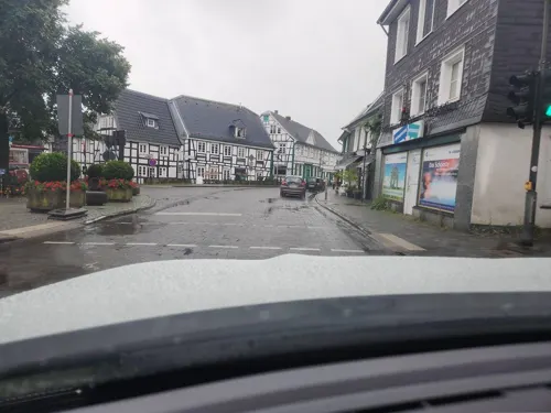
i Trulli
Restaurant · Italian · 3.4 km
8 Am Markt, Leichlingen
Tu-Sa 17:30-22:30; Su 12:00-14:30, 17:30-22:30; PH 12:00-14:30, 17:30-22:30
Alter Bahnhof Burscheid
Restaurant
15a Montanusstraße, Burscheid
Mo,We-Fr 17:00-22:00; Tu off; Sa-Su 12:30-22:00
Bergische Backstube am Markt
Bakery · 3.4 km
10 Am Markt, Leichlingen
Mo-Fr 05:30-18:30;Sa 05:30-18:00;Su 07:00-18:00

Brunnenhaus Waldcafé
Cafe · 3.9 km
2 In der Aue, Wermelskirchen
Th-Fr 10:00-18:00; Sa-Su 11:00-18:00; Mo-Th off


Bäckerei Kraus
Bakery · 4.6 km
416 Lützenkirchener Straße, Leverkusen
Mo-Fr 06:00-18:00; Sa 06:00-16:00; Su 08:00-16:00
51 more on the map.
Where to stay6
Churches and places of worship23
Anna-Kapelle
Church · Roman Catholic · 4.4 km
10 Kapellenstraße, Leverkusen
Markuskapelle
Church · Catholic · 3.5 km
9 Eugen-Heinen-Platz, Odenthal
St. Engelbert
Church · Roman Catholic · 3.8 km
8 Engelbertstraße, Leverkusen
St. Heinrich
Church · Roman Catholic · 3.3 km
19 Leichlinger Straße, Leichlingen (Rheinland)
Shopping14
Doris Flocke Haushalts- und Eisenwaren Herbert Flocke
Hardware store · 3.8 km
17 Neuenhof, Leichlingen
Gas and EV charging6
Schnellladestation Bioladen GESCHMACK.VOLL Burscheid
EV charging · 1.2 km
63 Höhestraße, Burscheid
Schools, colleges and libraries10
Healthcare9
Mathildenhof-Apotheke
Clinic and pharmacy · 4.6 km
1 Schöneberger Straße, Leverkusen
Map of Burscheid
209 places. The map loads OpenStreetMap tiles when you open it.
Getting there and nearby towns
Cologne Bonn Airport (CGN) is the nearest airport with scheduled flights listed in OpenStreetMap, 24 km away.
- Odenthal 6 km south, about 6 min by car
- Leichlingen 7 km west, about 7 min by car
- Opladen 8 km west, about 8 min by car
- Solingen 10 km north, about 10 min by car
- Wermelskirchen 9 km northeast, about 9 min by car
- Leverkusen 11 km southwest, about 11 min by car
- Bergisch Gladbach 11 km south, about 11 min by car
- Remscheid 12 km northeast, about 12 min by car
- Langenfeld 12 km west, about 12 min by car
- Kürten 11 km east, about 11 min by car
Drive times are estimates from straight-line distance, not routes.
Local news
Headlines from INDB.
Reviews, tips and questions
Loading what members have shared...
Sources and licences
- GeoNames (CC BY 4.0): population, coordinates, regions and time zone
- Mapillary (see each image): photos
- OpenStreetMap contributors (ODbL 1.0): places, airports, map data
- Wikidata (CC0 1.0): elevation, founding date, time zone, website, landmarks and historic places
- Wikimedia Commons (see each image): photos
- Wikipedia (CC BY-SA 4.0): overview and history text
Photo credits
- Burscheid Haeuser 015, Sebastian Mehlmacher, CC BY-SA 3.0
- Ev. Kirche Burscheid aus dem 11. Jahrhundert - panoramio, Edgar El, CC BY 3.0
- Burscheid - Ev. Kirche - panoramio, Edgar El, CC BY 3.0
- Burscheid – Kath. Kirche St. Laurentius - panoramio, giggel, CC BY 3.0
- Rathaus Burscheid - panoramio, giggel, CC BY 3.0
- Burscheid – Kath. Kirche St. Laurentius - panoramio (1), Edgar El, CC BY 3.0
- Rosskastanie (ND 109) Herkensiefen 7, 9 (Burscheid) (1), DiAuras, CC BY-SA 4.0
- Rosskastanie (ND 109) Herkensiefen 7, 9 (Burscheid) (3), DiAuras, CC BY-SA 4.0
- Rosskastanie (ND 109) Herkensiefen 7, 9 (Burscheid) (2), DiAuras, CC BY-SA 4.0
- Repinghofener Str. 22, 51399 Burscheid, Corinthe, CC BY 3.0
- Museum Morsbroich, Leverkusen, Jeppe Hein (Foto und gezeigtes Werk), CC BY-SA 4.0
- V-P 08463 Altenberg cathedral exterior - seen from N, Virtual-Pano, CC BY-SA 4.0
- LEV-Neuboddenberg Nicholas Church, A.Savin, CC BY-SA 3.0
- Altenberg 3, Uwe Barghaan, CC BY 3.0
- Evang. Kirche Witzhelden 04, Sebastian Mehlmacher, CC BY-SA 3.0
- Annakapelle (Lützenkirchen), Dynamitgeco, CC BY-SA 3.0
- Odenthal - Altenberg - Burg Berge - Fels 01 ies, Frank Vincentz, CC BY-SA 3.0
- Burscheid - Eifgenburg 07 ies, Frank Vincentz, CC BY-SA 3.0
- Altenberger Dom 09, Arnoldius, CC BY-SA 3.0
- St Engelbert Pattscheid, Wilfried08, CC BY-SA 3.0 de
- Evangelische Kirche (Burscheid) (1), Chris06, CC BY-SA 4.0
- Odenthal - Naturschutzgebiet Dhünnaue - Dhünn+Unterer Bülsberger Siefen 01 ies, Frank Vincentz, CC BY-SA 3.0
- Naturschutzgebiet Eifgenbach, Pingsjong, GFDL
- NSG Herkensiefen (12), DiAuras, CC BY-SA 4.0
- NSG Dhünntal und Linnefetal mit Seitentälern (oberhalb Lossenau) 30.06.2013, Ökologix, CC BY-SA 3.0
- Hilgener Ziegelloch.1, Pingsjong, GFDL
- Wallanlage Erberich, Pingsjong, GFDL
- PICT3290 Leverkusen Bahnhof Pattscheid, Thomas Hermes, CC BY 2.5
- St. Laurentius (Burscheid), DiAuras, CC BY-SA 4.0
- Kuechenhof mit Markuskapelle, Mabit1, CC BY-SA 4.0
- Deutscher Märchenwald Altenberg - Luftaufnahme-0495, Raimond Spekking, CC BY-SA 4.0
- Ein Schwefelporling (Laetiporus sulphureus), Cologne-G, CC BY-SA 3.0
- Altenberg Dom NW 115 P1050830 20200726, Karlunun, CC BY-SA 4.0
- Wappen Dabringhausen, Unknown author Unknown author, Public domain
- Eifgenbachtal (Burscheid) (99), DiAuras, CC BY-SA 4.0
- NSG Höhscheider Bachtal - Wersbachtal (Ost) (32), DiAuras, CC BY-SA 4.0
- Odenthal - Naturschutzgebiet Dhünnaue - Dhünn+Bülsberger Bach 01 ies, Frank Vincentz, CC BY-SA 3.0
- NSG Hilgener Ziegeleiloch (10), DiAuras, CC BY-SA 4.0
- Bahnhof Pattscheid Strassenseite, Mabit1, CC BY-SA 4.0
- 2021-12-10 NSG Sumpfgebiet im Ölbachtal (Leverkusen-Pattscheid) photo-02, Velopilger, CC BY-SA 4.0
- Street-level photo, towo, CC BY-SA 4.0
- Street-level photo, ASRvw, CC BY-SA 4.0
- Street-level photo, derlipper, CC BY-SA 4.0
- Street-level photo, DerMaster0815, CC BY-SA 4.0
- Street-level photo, DerMaster0815, CC BY-SA 4.0
- Street-level photo, towo, CC BY-SA 4.0
- Street-level photo, towo, CC BY-SA 4.0
- Street-level photo, ASRvw, CC BY-SA 4.0
- Street-level photo, ASRvw, CC BY-SA 4.0
- Street-level photo, DerMaster0815, CC BY-SA 4.0
- Street-level photo, DerMaster0815, CC BY-SA 4.0
- Street-level photo, mapforus, CC BY-SA 4.0
- Street-level photo, xoxzoz, CC BY-SA 4.0
- Street-level photo, towo, CC BY-SA 4.0
- Street-level photo, moogulator, CC BY-SA 4.0
- Street-level photo, DerMaster0815, CC BY-SA 4.0
- Street-level photo, mapforus, CC BY-SA 4.0
- Street-level photo, towo, CC BY-SA 4.0


Page built November 8, 2026. Spotted a mistake? Tell us or suggest a place.