


Why visit Kürten
Townapedia lists 46 museums and landmarks, 38 parks and trails, 57 places to eat, 17 places to stay and 25 attractions in and around town.
Highlights include Geflügelhof Hungenbach, Papiertheater im Fachwerkhaus, Coenenmühle and Burgwüstung Kramerburg.
Weather in Kürten
Forecast from MET Norway (CC BY 4.0). Full forecast
About Kürten
Kürten (German pronunciation: [ˈkyːɐ̯tn̩] ) is a village and a municipality in the Rheinisch-Bergischer Kreis, in North Rhine-Westphalia, Germany.
From the Wikipedia article Kürten (this version), under CC BY-SA 4.0.
Things to do25
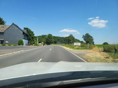
Geflügelhof Hungenbach
Farm and orchard · 5.7 km
32 Alte Wipperfürther Straße, Odenthal
Mo 08:00-13:00, 15:00-17:30; We-Fr 08:00-13:00, 15:00-17:30; Sa...


13 more on the map.
Museums and landmarks46



ehem. Bahnhof Linde
Monument and historic site · 5.5 km
Alter Bahnhof Linde mit Dampflok
3, 5 Am Bahnhof, Lindlar

Bechener Esel
Monument and historic site · 4.1 km
Das Wahrzeichen Bechens von der Bildhauerin Heide Dobberkau, aufgestellt am 20. August 1983 an der Kreuzung Kölner und Odenthaler Straße
Grabkreuz Heid
Monument and historic site · 6.5 km
Ca. 2,60m hohes, historisches Grabkreuz und eingetragenes Baudenkmal (177) von 1880 in Wipperfürth-Heid. Zeigt u.a. Symbolen eine...
Waldkreuzweg #5 - Simon hilft Jesus das Kreuz zu tragen
Monument and historic site · Catholic · 1.4 km
34 more on the map.
Parks, trails and playgrounds38

Freibad Dabringhausen
Sports field and stadium · 6.4 km
Coenenmühle, Wermelskirchen
2020 Jun 26-2020 Aug 09 Mo-Su,PH 10:00-19:30


26 more on the map.
Restaurants and cafes57
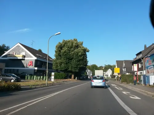
Aristokrat Bistro
Restaurant · Burger, Regional
398 Wipperfürther Straße, Kürten
Tu-Th 09:00-22:00; Fr-Sa 09:00-24:00; Su 09:00-22:00

In der Delling
Restaurant · German, Indian · 2.9 km
12 Delling, Kürten
We-Fr 12:00-15:00,17:30-22:00; Sa,Su 12:00-22:00
Landhaus Fuchs
Restaurant · German · 3.5 km
27 Unterbersten, Kürten
We-Fr 14:00+; Sa,Su,PH 11:00+; Mo,Tu off
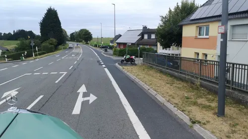
Napoleon
Restaurant · Regional · 6.4 km
12, Wipperfürth
Mo-We 17:00-22:00; Th,Fr 11:30-14:00,17:00-22:00; Sa 11:30-23:00;...
Pfannkuchenhaus Coenenmühle
Restaurant · Pancake, Savory Pancakes · 6.5 km
1, Wermelskirchen
Mo-Fr 16:00-23:00; Sa 13:00-23:00; Su 11:00-23:00; PH 11:00-23:00
Restaurant Heide Hof
Restaurant · Mediterranean · 5.8 km
181 Offermannsheider Straße, Kürten
Tu-Sa 15:00-22:30; Su 11:30-14:30,17:00-22:30
Zu den Drei Linden
Restaurant · 6.6 km
1 Staelsmühler Straße, Wermelskirchen
Mo-Tu 18:00-21:30; Th-Sa 18:00-21:00; Su 12:00-21:30


Zur Mühle
Restaurant · Meat
391 Wipperfürther Straße, Kürten
Su,PH 12:00-15:00; Th-Mo 18:00-23:00; PH 18:00-23:00; Tu,We off
45 more on the map.
Where to stay17
Churches and places of worship32
Shopping13
Gas and EV charging8
Schools, colleges and libraries14
Katholische Öffentliche Bücherei Biesfeld
Library · 3.8 km
9 Im Binsenfeld, Kürten
Katholische Grundschule Bechen
School · Catholic · 4.0 km
5 St.-Antonius-Weg, Kürten
Healthcare3
Map of Kürten
250 places. The map loads OpenStreetMap tiles when you open it.
Getting there and nearby towns
Cologne Bonn Airport (CGN) is the nearest airport with scheduled flights listed in OpenStreetMap, 22 km away.
- Lindlar 8 km southeast, about 8 min by car
- Wermelskirchen 11 km north, about 11 min by car
- Bergisch Gladbach 12 km southwest, about 12 min by car
- Odenthal 11 km west, about 11 min by car
- Wipperfürth 12 km northeast, about 12 min by car
- Overath 13 km south, about 13 min by car
- Remscheid 15 km north, about 15 min by car
- Rösrath 18 km south, about 18 min by car
- Solingen 19 km northwest, about 19 min by car
- Leverkusen 20 km west, about 20 min by car
Drive times are estimates from straight-line distance, not routes.
Local news
Headlines from INDB.
Reviews, tips and questions
Loading what members have shared...
Sources and licences
- GeoNames (CC BY 4.0): population, coordinates, regions and time zone
- Mapillary (see each image): photos
- OpenStreetMap contributors (ODbL 1.0): places, airports, map data
- Wikidata (CC0 1.0): elevation, founding date, time zone, website, landmarks and historic places
- Wikimedia Commons (see each image): photos
- Wikipedia (CC BY-SA 4.0): overview and history text
Photo credits
- Kürten 14 ies, Frank Vincentz, CC BY-SA 3.0
- Wegekreuz Wipperfürther Straße -Am Hang (BD 26) (Kürten), DiAuras, CC BY-SA 4.0
- St. Johann Baptist (Kürten) (9), DiAuras, CC BY-SA 4.0
- St. Johann Baptist (Kürten) (6), DiAuras, CC BY-SA 4.0
- Wegekreuz Friedhof (BD 21) (Kürten), DiAuras, CC BY-SA 4.0
- St. Johann Baptist (Kürten) (5), DiAuras, CC BY-SA 4.0
- Grabsteine alter Friedhof (BD 22) (Kürten) (1), DiAuras, CC BY-SA 4.0
- St. Johann Baptist (Kürten) (10), DiAuras, CC BY-SA 4.0
- St. Johann Baptist (Kürten) (8), DiAuras, CC BY-SA 4.0
- St. Johann Baptist (Kürten) (3), DiAuras, CC BY-SA 4.0
- Taufbecken Kürten-3, Velopilger, CC0
- St. Johann Baptist (Kürten) (7), DiAuras, CC BY-SA 4.0
- St. Johann Baptist (Kürten) (11), DiAuras, CC BY-SA 4.0
- St. Johann Baptist (Kürten) (12), DiAuras, CC BY-SA 4.0
- Alte Rathaus Kürten, Smart0433, CC BY-SA 4.0
- V-P 08463 Altenberg cathedral exterior - seen from N, Virtual-Pano, CC BY-SA 4.0
- Kürten Dürscheid - Sankt Nikolaus 01 ies, Frank Vincentz, CC BY-SA 3.0
- Ameligsiefental.1, Pingsjong, GFDL
- Altenbachtal, Pingsjong, GFDL
- Breibachtal, Pingsjong, GFDL
- NSG Sürthtal, Pingsjong, GFDL
- NSG GM-103 Mausbachtal (14) Hirschfelder Bachtal, DiAuras, CC BY-SA 4.0
- Naturschutzgebiet Oberkotten (8), DiAuras, CC BY-SA 4.0
- NSG Rölenommer (Lindlar) (2), DiAuras, CC BY-SA 4.0
- NSG Olpebachtal (3), DiAuras, CC BY-SA 4.0
- Blick über das Tal der Großen Dhünn nach Boxberg, DiAuras, CC BY-SA 4.0
- Biesfeld, kerk foto11 2010-08-14 11.32, Michielverbeek, CC BY-SA 3.0
- Christuskirche (Biesfeld) (1), Chris06, CC BY-SA 4.0
- Panoramabild Kramerburg, WestPaul, CC BY-SA 4.0
- Hauptstraße - ev. Kirche (2)(Wermelskirchen-Dhünn), DiAuras, CC BY-SA 4.0
- Versöhnungskirche (Kürten-Bechen) (1), Chris06, CC BY-SA 4.0
- Evangelisches Paul-Schneider-Gemeindezentrum (Schmitzhöhe ) (1), Chris06, CC BY-SA 4.0
- St.-Rochus-Kapelle (Lindlar-Kemmerich) (1), Chris06, CC BY-SA 4.0
- Kuerten Jakobuskapelle, Mabit1, CC BY-SA 4.0
- Maternus-Kapelle Schnappe, Smart0433, CC BY-SA 4.0
- NSG GM-103 Mausbachtal (43) Mausbachtal, DiAuras, CC BY-SA 4.0
- Naturschutzgebiet Oberkotten (10), DiAuras, CC BY-SA 4.0
- NSG GM-100 (13) Große Dhünn, DiAuras, CC BY-SA 4.0
- Naturschutzgebiet Olpebachtal. Sicht auf den Bachlauf, Joe29rg, CC0
- Buchholz am Schwarzen Bach, DiAuras, CC BY-SA 4.0
- Info-Tafel NSG Rölenommer (Lindlar) (1), DiAuras, CC BY-SA 4.0
- Kapelle Ommerborn (Wipperfürth) (18), DiAuras, CC BY-SA 4.0
- Coenenmühle 1-2 (Wermelskirchen), DiAuras, CC BY-SA 4.0
- Ehem. Brechwerk Dolomit-Steinbruch bei Linde, DiAuras, CC BY-SA 4.0
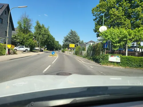
- Street-level photo, uwekoch, CC BY-SA 4.0
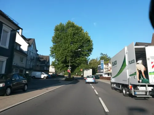
- Street-level photo, uwekoch, CC BY-SA 4.0
- Street-level photo, travelagentprofi, CC BY-SA 4.0
- Street-level photo, DerMaster0815, CC BY-SA 4.0
- Street-level photo, DerMaster0815, CC BY-SA 4.0
- Street-level photo, travelagentprofi, CC BY-SA 4.0
- Street-level photo, uwekoch, CC BY-SA 4.0
- Street-level photo, DerMaster0815, CC BY-SA 4.0
- Street-level photo, DerMaster0815, CC BY-SA 4.0
- Street-level photo, DerMaster0815, CC BY-SA 4.0
- Street-level photo, uwekoch, CC BY-SA 4.0
- Street-level photo, uwekoch, CC BY-SA 4.0
- Street-level photo, ASRvw, CC BY-SA 4.0
- Street-level photo, travelagentprofi, CC BY-SA 4.0
- Street-level photo, uwekoch, CC BY-SA 4.0
- Street-level photo, DerMaster0815, CC BY-SA 4.0
- Street-level photo, uwekoch, CC BY-SA 4.0
- Street-level photo, DerMaster0815, CC BY-SA 4.0
- Street-level photo, uwekoch, CC BY-SA 4.0
- Street-level photo, raymond, CC BY-SA 4.0
- Street-level photo, travelagentprofi, CC BY-SA 4.0


Page built November 8, 2026. Spotted a mistake? Tell us or suggest a place.