


Wermelskirchen, Germany
Wermelskirchen is a town of 36,816 people in North Rhine-Westphalia, Germany.
Why visit Wermelskirchen
Townapedia lists 45 museums and landmarks, 36 parks and trails, 237 places to eat, 15 places to stay and 29 attractions in and around town.
Highlights include Teo Otto Theater, Kohlfurther Bridge, Dellmannstraße and Alter evangelischer Friedhof.
Weather in Wermelskirchen
Forecast from MET Norway (CC BY 4.0). Full forecast
About Wermelskirchen
Wermelskirchen (German pronunciation: [ˈvɛʁml̩sˌkɪʁçn̩] ; Ripuarian: Wärmelßkirrshe) is a town in the Rheinisch-Bergischer Kreis, in North Rhine-Westphalia, Germany, southeast of Remscheid. It is home to one of Europe's biggest live Christmas trees (measuring 26m).
From the Wikipedia article Wermelskirchen (this version), under CC BY-SA 4.0.
Photos of Wermelskirchen


Things to do29

Teo Otto Theater
Cinema and theater · 5.1 km
Theatre in Remscheid, Germany
31-33 Konrad-Adenauer-Straße, Remscheid
Tu 10:00-14:00; We 10:00-14:00, 15:00-18:00; Th-Fr 10:00-14:00; Sa...

Kohlfurther Bridge
Bridge · 9.3 km
Bridge in Wuppertal – Kohlfurth / , Solingen – Kohlfurth


Theater in Cronenberg
Cinema and theater · 9.5 km
Theatre in Cronenberg, Wuppertal, Germany


CineStar
Cinema and theater · 4.4 km
1 Willy-Brandt-Platz, Remscheid
"Jeden Tag 15 Minuten vor dem Beginn der ersten Vorstellung"

17 more on the map.
Museums and landmarks45
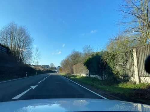

Alter evangelischer Friedhof
Cemetery · Protestant · 5.0 km
Müngstener Straße, Solingen


Brezelbäckerhaus
Monument and historic site · 4.7 km
31 - 37 Eschbachstraße, Solingen

Feilenfabrik
Monument and historic site · 1.8 km
5 Schlepenpohl, Remscheid




33 more on the map.
Parks, trails and playgrounds36




Stadion Reinshagen
Sports field and stadium · 5.5 km
25 Wallburgstraße, Remscheid

24 more on the map.
Restaurants and cafes237
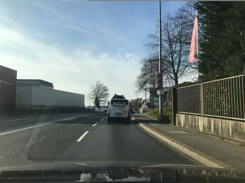
The Parlour 1782
Restaurant · Cake, Coffee Shop, Mediterranean, Tea · 5.5 km
30 Schüttendelle, Remscheid
Th-Fr 16:00-22:00; Sa 14:00-22:00; Su 10:00-18:00
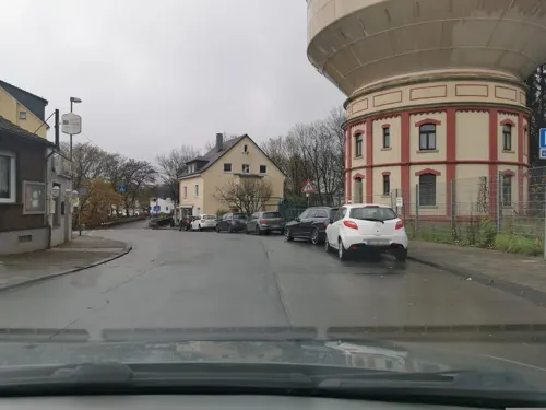
Buonissimo - Mamma Maria
Restaurant · Italian Pizza, Italian, Mediterranean, Pizza · 3.8 km
2a Strucker Straße, Remscheid
Mo-Fr 11:30-14:00
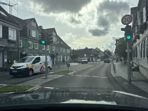
Centrale
Restaurant · German
1 Eich, Wermelskirchen
May-Sep: We-Mo 16:30-24:00; Oct-Apr: We-Sa 17:30-24:00

Bistro Katt
Restaurant · German
3 Kattwinkelstraße, Wermelskirchen
We,Th 17:00-23:00, Fr,Sa 17:00-01:00, Su 17:00-21:00

Bäckerei Evertzberg
Bakery · 5.2 km
Bäckerei Evertzberg im Edeka
74 Alleestraße, Remscheid
Mo-Sa 08:00-20:00; PH off
Cu Thoc
Restaurant · Asian, Vietnamese
1 Kölner Straße, Wermelskirchen
Mo-Tu 11:30-15:00, 17:00-22:00; Th-Fr 11:30-15:00, 17:00-22:00;...

Haus Hochstein
Restaurant · Regional, Steak House, Balkan, Salad · 1.3 km
105 Kenkhauser Straße, Wermelskirchen
Mo-Su 11:30-14:30,17:00-23:00; Tu off

Hof-Café Dhünn
Cafe · Ice Cream · 3.9 km
13 Alte Straße, Wermelskirchen
Mo-Sa 10:00+, Su 11:00+; PH 11:00+
225 more on the map.
History
From 1822 to 1945, Wermelskirchen was part of the Prussian Rhine Province.
From the History section of Wermelskirchen on Wikipedia, under CC BY-SA 4.0.
More about Wermelskirchen
Geography
The distance to Cologne is about 35 kilometers, to Düsseldorf about 45 kilometers. The neighboring municipalities are Remscheid, Hückeswagen, Wipperfürth, Kürten, Odenthal, Burscheid and Solingen. The townscape is characterized by Altberg slate and half-timbered houses.
The city area of Wermelskirchen (area: 74,74 km²) composed out of three district's: the initial Wermelskirchen and the incorporated, previously independent municipalities, Dhünn and Dabringhausen.
From the Wikipedia article Wermelskirchen, under CC BY-SA 4.0.
Notable people from Wermelskirchen
 Uwe BollGerman filmmaker (born 1965)Photo: Martin Carter Production, CC BY 3.0
 Dennis SchmidtGerman footballerPhoto: Northside, CC BY-SA 3.0
 Johannes VogelGerman politicianPhoto: Raimond Spekking, CC BY-SA 4.0
 Gerhard BraunGerman politician (1923-2015)Photo: Lothar Schaack, CC BY-SA 3.0 de
 Marike SteinackerGerman athletePhoto: Ailura, CC BY-SA 3.0 at
 Otto BrassGerman politician (1875-1950)Photo: Deutsches Reich. Reichstag., Public domain
 Frauke RoennekeGerman association football playerPhoto: Headlocker, CC BY-SA 4.0
- John Adolphus of SchwarzenbergCzech nobleman
- Friedrich Wilhelm DörpfeldGerman educationist (1824–1893)
- Guido SchumacherGerman judoka
- Carl LeverkusGerman chemist (1804–1889)
- Luca DürholtzGerman association football player
Born in Wermelskirchen, according to Wikidata (CC0). Each name links to its Wikipedia article.
Where to stay15
Evangelisches Jugend- und Schullandheim Neuemühle
Motel and hotel · 2.8 km
2 Neuemühle, Wermelskirchen
Churches and places of worship46
Shopping64
Gas and EV charging24
Schools, colleges and libraries42
Healthcare23
Map of Wermelskirchen
250 places. The map loads OpenStreetMap tiles when you open it.
Getting there and nearby towns
Cologne Bonn Airport (CGN) is the nearest airport with scheduled flights listed in OpenStreetMap, 31 km away.
- Remscheid 5 km north, about 5 min by car
- Solingen 10 km west, about 10 min by car
- Hückeswagen 9 km east, about 9 min by car
- Burscheid 9 km southwest, about 9 min by car
- Kürten 11 km south, about 11 min by car
- Radevormwald 12 km northeast, about 12 min by car
- Wipperfürth 13 km east, about 13 min by car
- Wuppertal 14 km north, about 14 min by car
- Odenthal 14 km southwest, about 14 min by car
- Leichlingen 14 km west, about 14 min by car
Drive times are estimates from straight-line distance, not routes.
Towns near Wermelskirchen


Keep exploring
Local news
Headlines from INDB.
Reviews, tips and questions
Loading what members have shared...
Sources and licences
- GeoNames (CC BY 4.0): population, coordinates, regions and time zone
- Mapillary (see each image): photos
- OpenStreetMap contributors (ODbL 1.0): places, airports, map data
- Wikidata (CC0 1.0): elevation, founding date, time zone, website, landmarks and historic places
- Wikimedia Commons (see each image): photos
- Wikipedia (CC BY-SA 4.0): overview and history text
Photo credits
- P1990204 001 Katholische Kirche St. Michael, Wermelskirchen, Fahrenberg1369, CC BY-SA 4.0
- Markt 11 (2) (Wermelskirchen), DiAuras, CC BY-SA 4.0
- Markt 13-14 (Wermelskirchen), DiAuras, CC BY-SA 4.0
- Markt 15 (2) (Wermelskirchen), DiAuras, CC BY-SA 4.0
- Markt 5 -9 (Wermelskirchen), DiAuras, CC BY-SA 4.0
- Ev. Kirche Wermelskirchen - panoramio, Niederkasseler, CC BY-SA 3.0
- Markt 15 (3) (Wermelskirchen), DiAuras, CC BY-SA 4.0
- Markt 10 (3) (Wermelskirchen), DiAuras, CC BY-SA 4.0
- Markt 10 (4) (Wermelskirchen), DiAuras, CC BY-SA 4.0
- Markt 9-10 (Wermelskirchen), DiAuras, CC BY-SA 4.0
- Schillerstraße 5-7 (Wermelskirchen), DiAuras, CC BY-SA 4.0
- Schillerstraße 6 (3) (Wermelskirchen), DiAuras, CC BY-SA 4.0
- Schillerstraße 5-7 (2) (Wermelskirchen), DiAuras, CC BY-SA 4.0
- Markt 5 - 9 (2) (Wermelskirchen), DiAuras, CC BY-SA 4.0
- Schillerstraße 6 (2) (Wermelskirchen), DiAuras, CC BY-SA 4.0
- Markt 10 (2) (Wermelskirchen), DiAuras, CC BY-SA 4.0
- Markt 10 (Wermelskirchen), DiAuras, CC BY-SA 4.0
- Markt 9 (2) (Wermelskirchen), DiAuras, CC BY-SA 4.0
- Schillerstraße 6 (Wermelskirchen), DiAuras, CC BY-SA 4.0
- Markt 5 (ev. Stadtkirche) (Wermelskirchen), DiAuras, CC BY-SA 4.0
- Evangelische Stadtkirche Wermelskirchen, Daniel Maluszczak, CC BY-SA 4.0
- In den Steinen 1 (Wermelskirchen), DiAuras, CC BY-SA 4.0
- Markt 5 (ev. Stadtkirche) (2) (Wermelskirchen), DiAuras, CC BY-SA 4.0
- In den Steinen 9-10 (Wermelskirchen), DiAuras, CC BY-SA 4.0
- Kattwinkelstraße 3-4 (6) (Wermelskirchen), DiAuras, CC BY-SA 4.0
- Kattwinkelstraße 3-4 (8) (Wermelskirchen), DiAuras, CC BY-SA 4.0
- Obere Remscheider Straße 7 (Wermelskirchen), DiAuras, CC BY-SA 4.0
- Kölner Straße 31 (Wermelskirchen), DiAuras, CC BY-SA 4.0
- Obere Remscheider Straße 9 (2) (Wermelskirchen), DiAuras, CC BY-SA 4.0
- Obere Remscheider Straße 9 (Wermelskirchen), DiAuras, CC BY-SA 4.0
- Berliner Straße 6 (2) (Wermelskirchen), DiAuras, CC BY-SA 4.0
- Kattwinkelstraße 3-4 (7) (Wermelskirchen), DiAuras, CC BY-SA 4.0
- Berliner Straße 6 (Wermelskirchen), DiAuras, CC BY-SA 4.0
- Kölner Straße 39 (Wermelskirchen), DiAuras, CC BY-SA 4.0
- Kattwinkelstraße 3-4 (5) (Wermelskirchen), DiAuras, CC BY-SA 4.0
- RS-Theo-Otto-Theater, Michael Kramer, CC BY-SA 3.0
- Kohlfurther Brücke 04 ies, Frank Vincentz, CC BY-SA 3.0
- Solingen -- Müngstener Brücke (10403938084), InterCityImpress, CC BY-SA 2.0
- Wuppertal Borner Str 0004, Atamari, CC BY-SA 3.0
- Hohenhagen Panorama, Strahlemän at German Wikipedia ( Original text: Daniel Kramer ), CC BY-SA 3.0
- Remscheid ev stadtkirche, Hans Peter Schaefer ( Hps-poll ), CC BY-SA 3.0
- Solingen Burg - Friedhofweg - Galapa 26 ies, Frank Vincentz, CC BY-SA 3.0
- Schlossplatz 20 - Burg - St. Martinus - (Solingen) (1), DiAuras, CC BY-SA 4.0
- Remscheid - Theodor-Heuss-Platz - Allee-Center 01 ies, Frank Vincentz, CC BY-SA 3.0
- GymnasiumWK, Daniel Maluszczak, CC BY-SA 3.0
- Evangelische Kirche Solingen-Unterburg, SolingenFan95, CC BY-SA 4.0
- Markusmühle NSG, Pingsjong, GFDL
- NSG Orchideenwiese.2, Pingsjong, GFDL
- Rs-020-hammertal-036, Torsten Kelsch, CC BY-SA 3.0
- Bornbachtal an der Pumpstation (5), DiAuras, CC BY-SA 4.0
- Stöcker Bach an der Eschbachtalsperre, DiAuras, CC BY-SA 4.0
- NSG Ober der Lehmkuhle (16), DiAuras, CC BY-SA 4.0
- NSG SG-006 Erlenauwald bei Kellershammer (16), DiAuras, CC BY-SA 4.0
- NSG Oberes Sengbachtal (1), DiAuras, CC BY-SA 4.0
- Dörpe bei Goldenbergshammer (2), DiAuras, CC BY-SA 4.0
- Hauptstraße - ev. Kirche (2)(Wermelskirchen-Dhünn), DiAuras, CC BY-SA 4.0
- St. Michael (Wermelskirchen) (4), Chris06, CC BY-SA 4.0
- Burg, Eschbachstraße 31-37, Mich.kramer, CC BY-SA 3.0
- Solingen, Burg an der Wupper, Müngstener Str., alter ev. Friedhof Unterburg (4), Im Fokus, CC BY-SA 4.0
- Christus-Kirche Remscheid, Kadereit, CC BY-SA 4.0
- Remscheid - Theodor-Heuss-Platz - Bergischer-Löwe 06 ies, Frank Vincentz, CC BY-SA 3.0
- Schlossburg 2-v2, Frank Stursberg, CC BY-SA 3.0
- Erster Bauplan St. Josef, Remscheid, Repro: Paolo Miola, Remscheid, CC BY-SA 3.0 de
- Schlepenpohl 5-8 Feilen-Fabrik Ehlis (Remscheid), DiAuras, CC BY-SA 4.0
- WKirchen evKirche v SO, Beckstet, CC BY-SA 3.0
- Street-level photo, wladimir, CC BY-SA 4.0
- Street-level photo, saschahaberkorn, CC BY-SA 4.0
- Street-level photo, endradon, CC BY-SA 4.0
- Street-level photo, endradon, CC BY-SA 4.0
- Street-level photo, endradon, CC BY-SA 4.0
- Street-level photo, ASRvw, CC BY-SA 4.0
- Street-level photo, ASRvw, CC BY-SA 4.0
- Street-level photo, ASRvw, CC BY-SA 4.0
- Street-level photo, wladimir, CC BY-SA 4.0
- Street-level photo, wladimir, CC BY-SA 4.0
- Street-level photo, wladimir, CC BY-SA 4.0
- Street-level photo, endradon, CC BY-SA 4.0
- Street-level photo, wladimir, CC BY-SA 4.0
- Street-level photo, saschahaberkorn, CC BY-SA 4.0


Page built November 9, 2026. Spotted a mistake? Tell us or suggest a place.