


Why visit Butjadingen
Townapedia lists 43 museums and landmarks, 15 parks and trails, 49 places to eat, 23 places to stay and 16 attractions in and around town.
Highlights include Deichschäferei Feldhausen, Oberfeuer Preußeneck, Museum Moorseer Mühle and Nationalpark-Haus Museum Fedderwardersiel.
Weather in Butjadingen
Forecast from MET Norway (CC BY 4.0). Full forecast
About Butjadingen
Butjadingen (German pronunciation: [bʊtˈjaːdɪŋən]) is a peninsula and municipality in the Wesermarsch district, in Lower Saxony, Germany.
From the Wikipedia article Butjadingen (this version), under CC BY-SA 4.0.
Things to do16
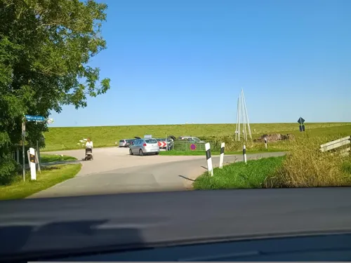
Deichschäferei Feldhausen
Farm and orchard · 6.8 km
Alles vom Schaf, Fell, Fleisch,etc. Deichschäferei FeldhausenFamilie PlümerFeldhauser Straße 226969 Butjadingen - Langwarden
2 Feldhauser Straße, Butjadingen
Tu 17:00-18:00;Th 16:00-17:00;Sa-Su 15:00-17:00;"und nach...





4 more on the map.
Museums and landmarks43

Museum Moorseer Mühle
Museum · 8.8 km
Butjadinger Straße, Nordenham
Apr-Oct: Tu-Su 10:00-17:00; Nov-Mar: Su 14:00-17:00

Nationalpark-Haus Museum Fedderwardersiel
Museum · 5.7 km
4 Am Hafen, Butjadingen
May 16 - Nov 04: 10:00-17:00; Dec 27 - Jan 06: 10:00-17:00


Kulturhaus am Wattenmeer
Museum · 6.6 km
112 Langwarder Straße, Butjadingen
Apr-Oct Th-Su 14:00-17:30
Moorseer Mühle
Monument and historic site · 8.8 km
Voll funktionsfähiger Galerieholländer mit Mahlgang, Jalousieklappen und Doppelwindrose in einem, im Originalzustand erhaltenen...
Wilhelmine Wiese
Monument and historic site · 5.7 km
Motorrettungsboot Wilhelmine Wiese im Rettungsschuppen der DGzRS
31 more on the map.
Parks, trails and playgrounds15
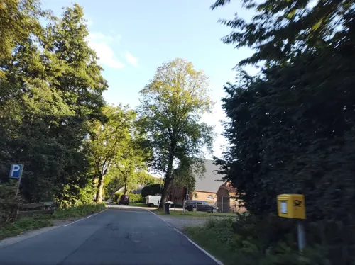
Melkhus Seeverns
Park · Milk · 2.7 km
26 Seeverns, Butjadingen
May-Oct
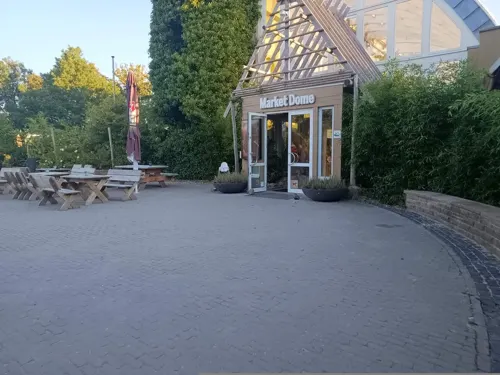

Nordsee-Lagune Butjadingen
Sports field and stadium · 4.9 km
May-Sep Mo-Su,PH 10:00-18:00, Jun-Aug 18:00-20:00 "bei Sonnenschein"


Butjadinger Yachtclub Fedderwardersiel
Marina and boat launch · 5.5 km



3 more on the map.
Restaurants and cafes49

Nordseeblick
Restaurant · Regional · 5.8 km
14 Am Hafen, Butjadingen
Mo,Tu 11:00-21:30; Th-Su 11:00-21:30; We off
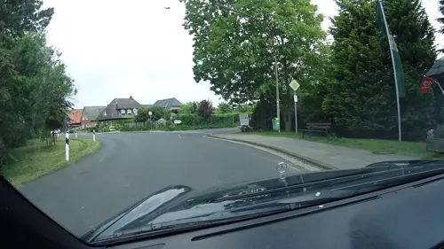
Kachelstübchen
Restaurant · Regional · 4.2 km
46 Strandallee, Butjadingen
Tu-Th 17:00-21:00; Fr,Sa 11:30-13:30,17:30-21:00; Su...

Landhuus Bieber 1848
Cafe · Regional, Coffee, Cake · 3.4 km
6 Isenser Burweg, Butjadingen
We-Fr 14:00-18:00; Sa-Su 10:00-12:00,14:30-18:00
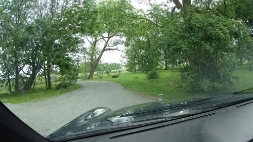
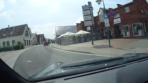
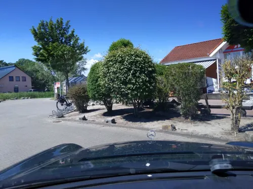
Bäckerei Meyer Mönchhof
Bakery · 5.6 km
6 Nordseeallee, Butjadingen
Mo-Fr 07:00-19:00; Sa 07:00-18:00; Su,PH 07:00-12:00
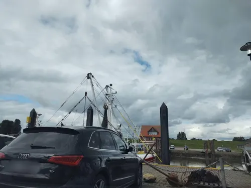
Dat Havenhuus
Restaurant · Fish, Regional · 5.8 km
12 Am Hafen, Butjadingen
Mo-Su 11:30-21:00
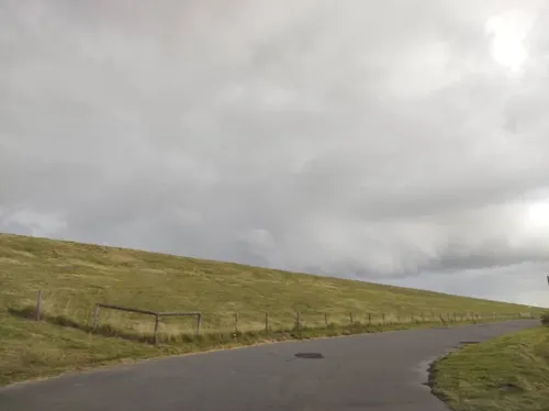
Il Giardino
Restaurant · Italian · 7.1 km
Sehr schönes Ambiente mit Meerblick und Kamin.
5 Tossenser Deich
Tu-Fr 12:00-22:00; Sa 12:00-22:00; Su 12:00-22:00; Mo off
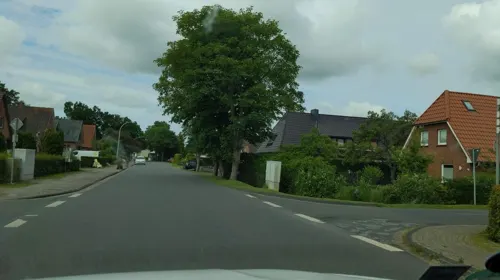
Mama’s Allee Café
Cafe · Burger, Coffee Shop, Ice Cream, Cake · 4.0 km
28 Strandallee, Butjadingen
We 12:00-17:00; Th,Fr 12:00-21:00; Sa,Su 09:00-12:00,14:00-17:00; Mo,Tu off


Kreta Grill
Restaurant · Greek · 5.3 km
214 Am Yachthafen
Mo-Su 12:00-22:00
37 more on the map.
Where to stay23
Zur Fischerklause - Hotel, Restaurant, Café & Meer
Motel and hotel · 5.5 km
16 Sielstraße, Butjadingen
Churches and places of worship7
St. Bartholomäus
Church · Lutheran · 4.9 km
Münstermannweg, Butjadingen
St.-Laurentius-Kirche Langwarden
Church · Lutheran · 6.5 km
Langwarder Straße, Butjadingen
St.-Marcellinus-und-Petruskirche
Church · Lutheran · 5.2 km
Kirchweg, Butjadingen
Shopping12
Gas and EV charging4
Schools, colleges and libraries3
Healthcare1
Map of Butjadingen
173 places. The map loads OpenStreetMap tiles when you open it.
Getting there and nearby towns
JadeWeserAirport (WVN) is the nearest airport with scheduled flights listed in OpenStreetMap, 19 km away.
- Nordenham 11 km southeast, about 11 min by car
- Wilhelmshaven 15 km west, about 15 min by car
- Bremerhaven 16 km east, about 16 min by car
- Varel 21 km southwest, about 21 min by car
- Schiffdorf 21 km east, about 21 min by car
- Sande 22 km west, about 22 min by car
- Loxstedt 22 km east, about 22 min by car
- Dorum 22 km northeast, about 22 min by car
- Ovelgönne 24 km south, about 24 min by car
- Schortens 26 km west, about 26 min by car
Drive times are estimates from straight-line distance, not routes.
Local news
Headlines from INDB.
Reviews, tips and questions
Loading what members have shared...
Sources and licences
- GeoNames (CC BY 4.0): population, coordinates, regions and time zone
- Mapillary (see each image): photos
- OpenStreetMap contributors (ODbL 1.0): places, airports, map data
- Wikidata (CC0 1.0): elevation, founding date, time zone, website, landmarks and historic places
- Wikimedia Commons (see each image): photos
- Wikipedia (CC BY-SA 4.0): overview and history text
Photo credits
- Tossens d1, Traveler100, CC BY-SA 4.0
- U-Begleitschiff Saar, Johanns Kühne, Public domain
- Tossens church, Traveler100, CC BY-SA 4.0
- Eckwarden range rear 7693, Ein Dahmer, CC BY-SA 4.0
- Tossens range front 7498, Ein Dahmer, CC BY-SA 4.0
- Tossens range rear 7697, Ein Dahmer, CC BY-SA 4.0
- Museum Moorseer Mühle 2005, Sasot97, CC BY-SA 4.0
- Eckwarden Kirche110von SO, Ulamm ( talk ), CC BY-SA 4.0
- Langwarden KIrche133von NO, Ulamm ( talk ), CC BY-SA 4.0
- Kirche Stollhamm, ClausNe, CC BY-SA 4.0
- Tossens118Kirche v S, Ulamm ( talk ), CC BY-SA 4.0
- Eckwarden range rear 7728, Ein Dahmer, CC BY-SA 4.0
- Street-level photo, thetornado76, CC BY-SA 4.0
- Street-level photo, nrpoprfoto, CC BY-SA 4.0
- Street-level photo, zuse, CC BY-SA 4.0
- Street-level photo, nrpoprfoto, CC BY-SA 4.0
- Street-level photo, deleted_user, CC BY-SA 4.0
- Street-level photo, deleted_user, CC BY-SA 4.0
- Street-level photo, nrpoprfoto, CC BY-SA 4.0
- Street-level photo, nrpoprfoto, CC BY-SA 4.0
- Street-level photo, nrpoprfoto, CC BY-SA 4.0
- Street-level photo, nrpoprfoto, CC BY-SA 4.0
- Street-level photo, thetornado76, CC BY-SA 4.0
- Street-level photo, thetornado76, CC BY-SA 4.0
- Street-level photo, thetornado76, CC BY-SA 4.0
- Street-level photo, thetornado76, CC BY-SA 4.0
- Street-level photo, thetornado76, CC BY-SA 4.0
- Street-level photo, thetornado76, CC BY-SA 4.0
- Street-level photo, thetornado76, CC BY-SA 4.0
- Street-level photo, nrpoprfoto, CC BY-SA 4.0
- Street-level photo, deleted_user, CC BY-SA 4.0
- Street-level photo, deleted_user, CC BY-SA 4.0
- Street-level photo, nrpoprfoto, CC BY-SA 4.0
- Street-level photo, deleted_user, CC BY-SA 4.0
- Street-level photo, nrpoprfoto, CC BY-SA 4.0
- Street-level photo, nrpoprfoto, CC BY-SA 4.0
- Street-level photo, deleted_user, CC BY-SA 4.0
- Street-level photo, deleted_user, CC BY-SA 4.0
- Street-level photo, thetornado76, CC BY-SA 4.0
- Street-level photo, nrpoprfoto, CC BY-SA 4.0
- Street-level photo, zuse, CC BY-SA 4.0


Page built November 9, 2026. Spotted a mistake? Tell us or suggest a place.