


Why visit Schortens
Townapedia lists 42 museums and landmarks, 25 parks and trails, 112 places to eat, 19 places to stay and 2 attractions in and around town.
Highlights include Biohof Gerdes, Feuerwehrmuseum Jever, Accumer Mühle and Aqua Fit.
Weather in Schortens
Forecast from MET Norway (CC BY 4.0). Full forecast
About Schortens
Schortens (German pronunciation: [ˈʃɔʁtn̩s] ) is a town in the district of Friesland in Lower Saxony, Germany.
From the Wikipedia article Schortens (this version), under CC BY-SA 4.0.
Things to do2

Biohof Gerdes
Farm and orchard · 1.3 km
86 Klein-Ostiemer-Weg, Schortens
Mo-Th 10:00-13:00; Fr 09:00-18:30; Sa 09:00-14:00

Museums and landmarks42


Accumer Mühle
Monument and historic site · 4.8 km
Reetgedeckter Galerieholländer mit je zwei sich gegenüberliegenden Jalousie- und Segelflügeln, Kappe, Windrose und zwei voll...
Apr-Oct: Su[3] 14:00-17:00
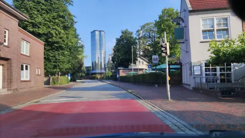


Brauereimuseum
Museum · 5.1 km
4 Theodor-Fetköter-Straße, Jever
Tu-Fr 09:30-16:30; Sa 09:30-12:30

Fräulein Maria
Monument and historic site · 4.9 km
Am 5. September 1900 setzten Jeveraner ihrer letzten Regentin Fräulein Maria zum 400. Geburtstag ein Bronzedenkma.

GröschlerHaus
Museum · 5.1 km
19 Große Wasserpfortstraße, Jever
Tu,Fr 10:00-12:00, Th 15:00-17:00

Küsteum
Museum · 5.1 km
Heimatkundliches Museum und Museumsschmiede
2 Alt-Marienhausen, Sande
Sa-Su,PH 14:00-18:00


30 more on the map.
Parks, trails and playgrounds25

Aqua Fit
Sports field and stadium · 0.6 km
Seit Mai 2015 ist das Bad bereits geschlossen. Circa Mitte 2018 soll es wieder eröffnen. Seit den 23.02.2019 wieder eröffnet
37 Beethovenstraße, Schortens
We 06:00-08:00, We-Fr 15:00-21:00, Sa 14:00-19:00, Su,PH 11:00-19:00


Naturfreibad Schortens
Sports field and stadium · 1.7 km
1 Am Schwimmbad, Schortens
Mo-Su 09:00-20:00




13 more on the map.
Restaurants and cafes112
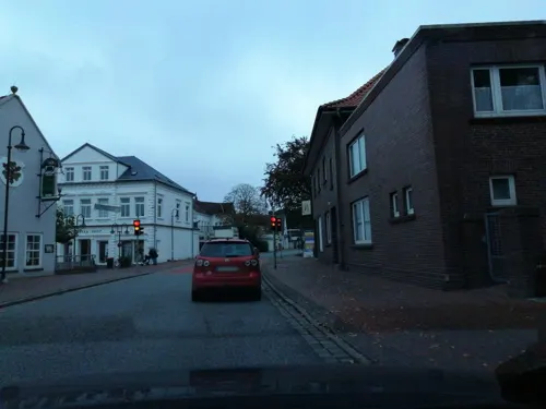
Haus der Getreuen
Restaurant · Regional · 5.1 km
Treffpunkt der "Getreuen zu Jever", seit 1871 Stammtisch von Jeveranern.
1 Schlachtstraße, Jever
Tu-Su 11:00-23:00
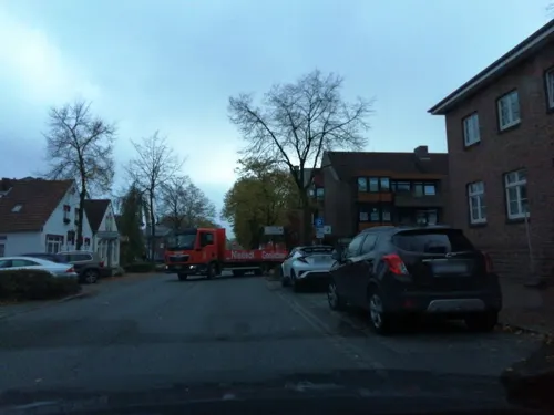

Bäckerei- & Konditorei Ulfers Eden
Bakery · 5.2 km
28 Bahnhofstraße, Jever
Mo-Fr 06:00-13:00; Sa 06:00-12:00; Su 07:30-12:00

Fairhandelshaus Mercado Mundial
Cafe · Coffee Shop · 2.5 km
5 Accumer Straße, Schortens
Mo-Fr 12:30-18:30
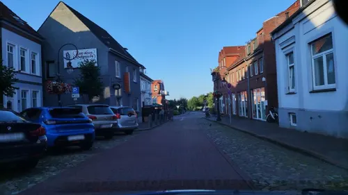

La Casetta
Restaurant · Italian · 5.2 km
44 Bahnhofstraße, Jever
Tu-Su 12:00-14:30,17:00-22:00; Mo off
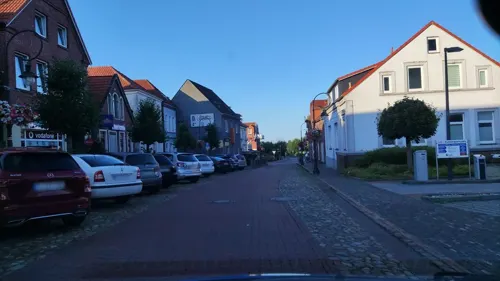
LaVie - Am Alten Markt
Restaurant · American, Mexican, Spanish, Tapas, Barbecue · 4.9 km
2 Alter Markt, Jever
Mo-Sa 12:00-23:00; PH off
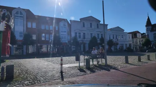
Lorenz Bäcker Victorbur
Cafe · 4.9 km
16 Alter Markt, Jever
Mo-Fr 06:30-18:00; Sa 06:30-17:00; Su 07:30-17:00
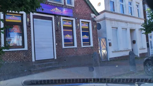


Mauro´s
Restaurant · Regional · 4.9 km
3 Alter Markt, Jever
Jan-Apr: Mo-We 17:30 - 21:30, Fr-Su 11:30 - 14:30 ,17:30 - 22:00,...
Pitt's - Tapas & Steaks
Restaurant · Burger, International, Steak House, Tapas · 7.1 km
37 Bahnhofstraße, Sande
Tu-Fr 11:30-13:30, 17:00-22:00; Sa 17:00-22:00; Su 17:00-21:00
Pizzeria Solopaca
Restaurant · Italian · 4.8 km
12 Alter Markt, Jever
We-Fr,Su,Mo 12:00-14:30,18:00-22:30; Sa 12:00-14:30,18:00-23:00; Tu off
Restaurant Philip
Restaurant · Greek, Steak House
7 Menkestraße, Schortens
Tu-Sa 17:00-23:00; Su,PH 11:30-14:30,17:00-23:00
100 more on the map.
History
Graves discovered during excavations in the 1970s indicate the existence of an early human settlement in the area of Schortens already during the 5th century.
In 1158 Schortens was first mentioned as "Scrotinh" in a document of Pope Adrian IV. Later the name changed to "Scrotinghe". In 1400 the place was called "Schortense".
The St. Stephan Church in Schortens was built shortly after 1153 as a result of a victory of the Östringer against a superior army.
In the Middle Ages, the monastery of Oestringfelde, which was also used as an asylum, was well known for its horse breeding.
During the second half of the 1900s, the naval base Wilhelmshaven contributed greatly to the development of the town. Many workers settled down in what would become central Schortens, a railway connection to Jever, established in 1871 also contributed to the development of the town. After the end of World War I, the production of warships ceased and unemployment escalated. From 1946, a steady stream of refugees have moved to Schortens, increasing the population greatly. The deployment of the Olympia-Werke typewriter factory in Roffhausen just after World War II is also seen as an important stage in the development of the town. Around 1970, this factory had jobs for 12,000 people, thus preventing unemployment in the entire region. The Olympia works had to shut down in 1992.
From the History section of Schortens on Wikipedia, under CC BY-SA 4.0.
Where to stay19
Churches and places of worship21
St. Marien
Church · Roman Catholic · 5.0 km
14 Kleine Burgstraße, Jever
St.-Stephanus-Kirche
Church · Lutheran · 1.1 km
1a Kirchstraße, Schortens
Shopping45
Gas and EV charging10
Schools, colleges and libraries24
Healthcare11
Map of Schortens
250 places. The map loads OpenStreetMap tiles when you open it.
Getting there and nearby towns
JadeWeserAirport (WVN) is the nearest airport with scheduled flights listed in OpenStreetMap, 8 km away.
- Wilhelmshaven 10 km east, about 10 min by car
- Wittmund 12 km west, about 12 min by car
- Friedeburg 12 km southwest, about 12 min by car
- Zetel 14 km south, about 14 min by car
- Varel 20 km southeast, about 20 min by car
- Wiesmoor 20 km southwest, about 20 min by car
- Westerstede 31 km south, about 31 min by car
- Wiefelstede 33 km south, about 33 min by car
- Apen 36 km south, about 36 min by car
- Bremerhaven 42 km east, about 42 min by car
Drive times are estimates from straight-line distance, not routes.
Local news
Headlines from INDB.
Reviews, tips and questions
Loading what members have shared...
Sources and licences
- GeoNames (CC BY 4.0): population, coordinates, regions and time zone
- Mapillary (see each image): photos
- OpenStreetMap contributors (ODbL 1.0): places, airports, map data
- Wikidata (CC0 1.0): elevation, founding date, time zone, website, landmarks and historic places
- Wikimedia Commons (see each image): photos
- Wikipedia (CC BY-SA 4.0): overview and history text
Photo credits
- Dietrich-Bonhoeffer-Kirche Schortens 0113, Gerd Fahrenhorst, CC BY 4.0
- LzO in Schortens, Gerd Fahrenhorst, CC BY 4.0
- Skulptur Oestringer Pferd in Schortens 097, Gerd Fahrenhorst, CC BY 4.0
- Bürgerhaus Schortens, Unknown author, CC BY-SA 3.0
- Skulptur vor Volksbank in Schortens, Gerd Fahrenhorst, CC BY 4.0
- Volksbank in Schortens, Gerd Fahrenhorst, CC BY 4.0
- Skulptur Krötenwanderung in Schortens 2, Gerd Fahrenhorst, CC BY 4.0
- Bahnhofsschild Schortens Heidmühle 170511, Clic, CC BY-SA 4.0
- Bahnhofsschild Schortens Heidmühle 180716, Clic, CC BY-SA 4.0
- Skulptur Krötenwanderung Schortens 2018, Gerd Fahrenhorst, CC BY 4.0
- Skulptur Krötenwanderung in Schortens 1, Gerd Fahrenhorst, CC BY 4.0
- Rathaus Schortens 2018-09, Gerd Fahrenhorst, CC BY 4.0
- Dietrich-Bonhoeffer-Kirche Schortens 0112, Gerd Fahrenhorst, CC BY 4.0
- Rathaus Schortens 2, Gerd Fahrenhorst, CC BY 4.0
- Dietrich-Bonhoeffer-Kirche Schortens 0114, Gerd Fahrenhorst, CC BY 4.0
- Gleisanlagen und Bahnsteig Schortens-Heidmühle, Gerd Fahrenhorst, CC BY 4.0
- Imagedrohne.com Luftbild Schortens Kramermarkt - panoramio, Ralf Schmidt, CC BY-SA 3.0
- Jade-Hochschule, Wilhelmshaven, Gerd Fahrenhorst, CC BY-SA 3.0
- Schortens Stephanus Chor, Ingeborg Nöldeke, CC BY 3.0
- Accumer Mühle, Unknown author, CC BY-SA 3.0
- Jever Kapelle im Sonnenaufgang, Benutzer:GregorHelms, Public domain
- Burg Kniphausen - Wilhelmshaven 04, Dickelbers, CC BY-SA 3.0
- 2009 09 Jever Edo Wiemken Grabmal, WHVer , Uwe Karwath, Wilhelmshaven, CC BY 3.0
- 2012 09 Accumer Kirche 1, WHVer , Uwe Karwath, Wilhelmshaven, CC BY 3.0
- Jever (5), Dickelbers, CC BY-SA 3.0
- Krankenhaus sanderbusch, GregorHelms, CC BY-SA 3.0
- Barghauser See, Klinkenborg, CC BY-SA 4.0
- Ostfriesland msu-0411, User:Matthias Süßen, CC BY-SA 3.0
- St. Josef (Neustadtgödens) 01, Rabanus Flavus, CC0
- Feuerwehr Museum Jever 2018-09, Gerd Fahrenhorst, CC BY 4.0
- 20130603.Jever.-26.0, Bybbisch94, Christian Gebhardt, CC BY-SA 4.0
- Fräulein-Maria-Denkmal jever 2019-04-20 -1, Z thomas, CC BY-SA 4.0
- St.-Marien-Kirche Jever 2019-04-20 -1, Z thomas, CC BY-SA 4.0
- Sande St. Bonifatius, Daniel Brockpähler, CC BY-SA 3.0
- Dreifaltigkeitskirche Schortens-Heidmühle, Ludger Sunder-Plassmann, CC BY-SA 4.0
- Slot van Jever, Gouwenaar, Public domain
- Edo Wiemken-Denkmal, -- BBKurt, CC BY-SA 3.0
- Mariengymnasium Jever, Unknown author, CC BY-SA 3.0
- Schloss Jever, Leit, Public domain
- Stephans-Kirche Schortens, Gouwenaar, Public domain
- WSV Dykhausen 5729, Ein Dahmer, CC BY-SA 4.0
- Street-level photo, hotzi57, CC BY-SA 4.0
- Street-level photo, hotzi57, CC BY-SA 4.0
- Street-level photo, hotzi57, CC BY-SA 4.0
- Street-level photo, hotteliene, CC BY-SA 4.0
- Street-level photo, hotteliene, CC BY-SA 4.0
- Street-level photo, hotteliene, CC BY-SA 4.0
- Street-level photo, hotteliene, CC BY-SA 4.0
- Street-level photo, hotteliene, CC BY-SA 4.0
- Street-level photo, hotzi57, CC BY-SA 4.0
- Street-level photo, hotteliene, CC BY-SA 4.0
- Street-level photo, hotzi57, CC BY-SA 4.0
- Street-level photo, hotteliene, CC BY-SA 4.0
- Street-level photo, hotteliene, CC BY-SA 4.0
- Street-level photo, hotteliene, CC BY-SA 4.0
- Street-level photo, hotzi57, CC BY-SA 4.0
- Street-level photo, hotteliene, CC BY-SA 4.0
- Street-level photo, Schmarvis, CC BY-SA 4.0


Page built November 8, 2026. Spotted a mistake? Tell us or suggest a place.