


Delbrück, Germany
Delbrück is a town of 29,884 people in North Rhine-Westphalia, Germany.
Why visit Delbrück
Townapedia lists 72 museums and landmarks, 65 parks and trails, 186 places to eat, 28 places to stay and 17 attractions in and around town.
Highlights include Tierpark Nadermann, Vauß-Hof Laden, Atelier Rita Winkelmann and Joseph-Kapelle.
Weather in Delbrück
Forecast from MET Norway (CC BY 4.0). Full forecast
About Delbrück
Delbrück (German pronunciation: [ˈdɛlˌbʁʏk] ) is a town in the east of North Rhine-Westphalia, Germany, located in the district Paderborn.
From the Wikipedia article Delbrück (this version), under CC BY-SA 4.0.
Things to do17

Tierpark Nadermann
Zoo and aquarium · 5.7 km
5 Grafhörsterweg, Delbrück
Mar 09:00-18:00; Apr-Sep 09:00-19:00; Oct 09:00-18:00; Nov 09:00-17:00

Vauß-Hof Laden
Farm and orchard · 7.4 km
Bio-Rindfleisch,_Bio-Lammfleisch,_Bio-Geflügel, Kindergeburtstage
2 Cerisy-Platz, Salzkotten
We-Fr 10:00-18:00; Sa 10:00-14:00
Geflügelhof Brunnert
Farm and orchard · 6.1 km
19 Enger Weg, Delbrück
Mo-Fr 08:00-18:00; Sa 08:00-12:00
Hofladen Schulte-Hörster
Farm and orchard · 2.9 km
1 Im Hagen, Delbrück
Mo-Tu 08:30-19:00; We off; Th-Fr 08:30-19:00; Sa 08:30-13:00
Hofladen Westkämper
Farm and orchard · 7.8 km
69 Sennelagerstraße, Paderborn
Mo-Fr 08:00-12:00, 14:00-18:00; Sa 08:00-12:00; Su off
Straussenhof Daniel
Farm and orchard · 6.6 km
14 Spechtweg, Delbrück
Tu-Fr 16:00-18:00; Sa 10:00-14:00; Mo,Su,PH off

Hofladen Schnitzmeyer
Farm and orchard · 9.3 km
149 Scharmeder Straße, Paderborn
24/7
Michels Deele
Farm and orchard · 5.6 km
10 Im Kuhlen, Delbrück
Mo-Fr 15:00-18:30; Tu-Th 09:00-12:00; Sa 09:00-13:00
5 more on the map.
Museums and landmarks72

Atelier Rita Winkelmann
Museum · 4.0 km
27 Paradiesstraße, Delbrück
Tu, Th 10:00-17:00; "nach Vereinbarung"


Heinz Nixdorf MuseumsForum
Museum · 12.5 km
Computer museum in Paderborn, Germany

Burg Boke
Monument and historic site · 4.7 km
Reste der Festungsanlage aus dem 17. Jahrhundert



60 more on the map.
Parks, trails and playgrounds65


53 more on the map.
Restaurants and cafes186
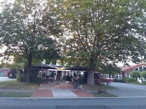
Schnittker
Restaurant · German · 5.3 km
88 Schöninger Straße, Delbrück
Mo-Fr 07:00-14:00,16:00-24:00; Sa 09:00-14:00,16:00-24:00; Su,PH 09:00+
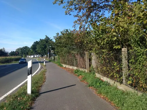
Alt-Enginger Mühle
Restaurant · German · 7.7 km
105 Sander Straße, Paderborn
Nov-Mar Mo-Fr 17:00-22:00; Apr-Oct 15:00-22:00; Sa 11:30-22:00; Su...

Landgasthaus Lohre
Restaurant · German · 6.3 km
67 Thüler Straße, Salzkotten
Tu-Sa 17:00-24:00; Su 10:00-24:00
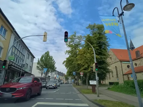
Azzurro
Restaurant · Pizza · 9.2 km
37 Von-Ketteler-Straße, Paderborn
We-Sa 16:30-22:00; Su 12:00-14:00, 16:30-22:00
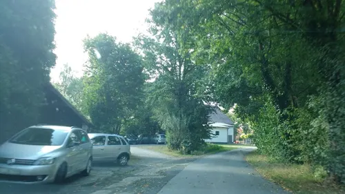
Bauernhof-Café Marienhof Marks
Cafe · Cake · 5.6 km
1 Lüchtenweg, Delbrück
We-Su 14:00-18:00; Mo-Tu off
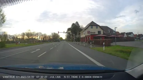
Brinkmanns Braterei
Restaurant · Burger, Chicken, Friture, Steak House · 8.8 km
61 Münsterstraße, Paderborn
Mo-Su 12:00-22:00
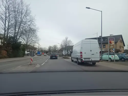
Bäckerei Schumacher Cafe Kaunitz
Cafe · Coffee Shop, Sandwich · 10.1 km
8 Fürst-Wenzel-Platz, Verl
Mo-Fr 05:00-18:00; Sa 05:00-13:00; PH,Su 07:00-11:00
Das Gastliche Dorf
Restaurant · Regional · 6.1 km
88 Lippstädter Straße, Delbrück
Th-Fr 12:00-20:00; Sa-Su 09:30-20:00
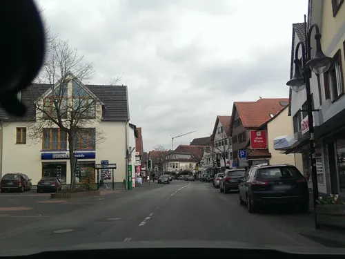
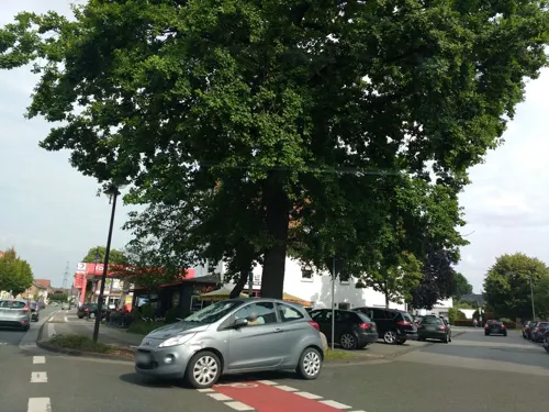


Gasthof Hotel Kaiserpfalz
Restaurant · German · 9.4 km
20 Von-Ketteler-Straße, Paderborn
Mo-Fr 18:00-21:00
Hotel-Restaurant Piärdestall
Restaurant · German, French · 9.6 km
245 Gütersloher Straße, Hövelhof
Tu off; Mo,We-Sa 17:30-23:00; Su 11:30-14:30,17:30-23:00
174 more on the map.
History
The first document mentioning the town dates to 1219. In 1410, the town was destroyed by fire during a conflict between the bishop of Paderborn and the bishop of Cologne.
From the History section of Delbrück on Wikipedia, under CC BY-SA 4.0.
Where to stay28
Churches and places of worship42
Sankt Bartholomäus
Church · Catholic · 9.1 km
1 Marienplatz, Salzkotten
Sankt Dionysius
Church · Catholic · 9.1 km
36 Von-Ketteler-Straße, Paderborn
Sankt Laurentius
Church · Catholic · 6.5 km
1 Kirchbreite, Salzkotten
St. Dionysius
Church · Catholic · 5.2 km
71 Bentfelder Straße, Delbrück
St. Johannes Nepomuk
Church · Roman Catholic · 9.1 km
32 Allee, Hövelhof
St. Joseph
Church · Catholic · 6.4 km
96 Westenholzer Straße, Delbrück
Shopping48
Gas and EV charging24
Schools, colleges and libraries31
Healthcare15
Map of Delbrück
250 places. The map loads OpenStreetMap tiles when you open it.
Getting there and nearby towns
Airport Paderborn/Lippstadt (PAD) is the nearest airport with scheduled flights listed in OpenStreetMap, 17 km away.
- Hövelhof 8 km northeast, about 8 min by car
- Rietberg 10 km northwest, about 10 min by car
- Salzkotten 11 km south, about 11 min by car
- Verl 14 km north, about 14 min by car
- Paderborn 14 km east, about 14 min by car
- Geseke 14 km south, about 14 min by car
- Lippstadt 18 km southwest, about 18 min by car
- Gütersloh 20 km northwest, about 20 min by car
- Rheda-Wiedenbrück 20 km northwest, about 20 min by car
- Oerlinghausen 22 km north, about 22 min by car
Drive times are estimates from straight-line distance, not routes.
Local news
Headlines from INDB.
Reviews, tips and questions
Loading what members have shared...
Sources and licences
- GeoNames (CC BY 4.0): population, coordinates, regions and time zone
- Mapillary (see each image): photos
- OpenStreetMap contributors (ODbL 1.0): places, airports, map data
- Wikidata (CC0 1.0): elevation, founding date, time zone, website, landmarks and historic places
- Wikimedia Commons (see each image): photos
- Wikipedia (CC BY-SA 4.0): overview and history text
Photo credits
- Luftbild Delbrueck, selbst, Public domain
- Delbrück - panoramio, Holunderpüfferken, CC BY 3.0
- St. Johannes Baptist, Delbrück, Photo taken by DaBroMfld , stitched and uploaded on his request by TUBS, CC BY-SA 3.0
- Kriegerdenkmal Sankt Johannes Baptist Delbrück 03, Wikitarisch, CC BY-SA 4.0
- Kriegerdenkmal Sankt Johannes Baptist Delbrück 01, Wikitarisch, CC BY-SA 4.0
- Kriegerdenkmal Sankt Johannes Baptist Delbrück 02, Wikitarisch, CC BY-SA 4.0
- Delbrück geothermische Karte, Hagar66, CC BY-SA 3.0
- Delbrück Andreaskapelle, 33129K, CC BY 4.0
- Andreas Kapelle - Körings Kapelle - Delbrück 5, 33129K, CC BY 4.0
- Heinz Nixdorf MuseumsForum Paderborn, Bc4040, CC BY-SA 4.0
- Ruine Vernaburg, Weißkunig, CC BY-SA 3.0
- Lauerwiesen08, Heinzhg, CC BY-SA 3.0
- Church of Anreppen, User:Tolanor ( Tolanor ), Public domain
- Schloss Rietberg, Unknown author Unknown author, Public domain
- Lippling - Kirche - 4, Ath, CC0
- Westenholz St. Joseph Seitenansicht, Daniel Brockpähler, CC BY-SA 3.0
- Kirche Verne außen, Karl-Michael Soemer, CC BY-SA 3.0
- Kirche Bentfeld, Tolanor, Public domain
- St.-Johannes-Nepomuk-Kapelle, außen, Joachim K. Löckener, CC BY 3.0
- Turm der Kirche St. Dionysius und Urban (Elsen), Thomas Fricke, CC BY-SA 3.0
- Hoevelhof-Kirche-4, Athde, CC0
- Kirche Thüle, Tolanor / Tolanor, CC BY-SA 3.0
- Sande St. Marien, Daniel Brockpähler, CC BY-SA 3.0
- Hünenburg im Barbruch 2016, Namensknappheit, CC BY-SA 4.0
- Delbrück - 2018-04-28 - PB-004 Gunnewiesen (6), Tsungam, CC BY-SA 4.0
- RingbokeFestung0815b, Namensknappheit, CC BY-SA 4.0
- Elsen Erloeserkirche SW 2002l, Ilsemarie, CC BY-SA 3.0
- Hövelhof Ev.Johanneskirche, ludger1961, CC BY-SA 3.0
- Thüle-Wegekapelle Eschenstraße, Athde, CC0
- Klausheide-Apels Teich-3, Athde, CC0
- Delbrück - Boker Heide - 15, Ath, CC0
- Paderborn - 2017-04-23 - Buchenwald bei Elsen-Bahnhof (2), Tsungam, CC BY-SA 4.0
- Elsen - Elser Holz-Rottberg - 6, Ath, CC0
- Erdgarten-Lauerwiesen - 2, Ath, CC0
- Delbrück - 2018-04-28 - PB-004 Gunnewiesen (3), Tsungam, CC BY-SA 4.0
- Salzkotten - NSG Hederaue mit Thueler Moorkomplex - 12, Ath, CC0
- Mantinghausen - NSG Huegelgraeberfeld Mantinghausen - 9, Ath, CC0
- Boke - Hünenburg - 1, Ath, CC0
- Sennelager - Langenbergteich - 2, Ath, CC0
- Paderborn - 2016-06-26 - PB-076 Lippe bei Sande (014), Tsungam, CC BY-SA 4.0
- Paderborn - 2016-06-26 - PB-031 Lippeniederung bei Sande (025), Tsungam, CC BY-SA 4.0
- Verne - St. Bartholomäus - 4, Ath, CC0
- Thüle - St. Laurentius - 1, Ath, CC0
- Jaguar relaxed, Ötscher, CC BY-SA 4.0
- Cultura Rietberg, Bielibob, CC BY-SA 3.0
- Street-level photo, thetornado76, CC BY-SA 4.0
- Street-level photo, thetornado76, CC BY-SA 4.0
- Street-level photo, thetornado76, CC BY-SA 4.0
- Street-level photo, thetornado76, CC BY-SA 4.0
- Street-level photo, live, CC BY-SA 4.0
- Street-level photo, live, CC BY-SA 4.0
- Street-level photo, thetornado76, CC BY-SA 4.0
- Street-level photo, thetornado76, CC BY-SA 4.0
- Street-level photo, thetornado76, CC BY-SA 4.0
- Street-level photo, thetornado76, CC BY-SA 4.0
- Street-level photo, nrailuj, CC BY-SA 4.0
- Street-level photo, bielebog, CC BY-SA 4.0
- Street-level photo, thetornado76, CC BY-SA 4.0
- Street-level photo, bielebog, CC BY-SA 4.0
- Street-level photo, thetornado76, CC BY-SA 4.0
- Street-level photo, thetornado76, CC BY-SA 4.0
- Street-level photo, thetornado76, CC BY-SA 4.0
- Street-level photo, thetornado76, CC BY-SA 4.0
- Street-level photo, zuse, CC BY-SA 4.0
- Street-level photo, derlipper, CC BY-SA 4.0
- Street-level photo, nrailuj, CC BY-SA 4.0
- Street-level photo, live, CC BY-SA 4.0
- Street-level photo, live, CC BY-SA 4.0
- Street-level photo, thetornado76, CC BY-SA 4.0
- Street-level photo, live, CC BY-SA 4.0
- Street-level photo, thetornado76, CC BY-SA 4.0
- Street-level photo, thetornado76, CC BY-SA 4.0
- Street-level photo, thetornado76, CC BY-SA 4.0
- Street-level photo, thetornado76, CC BY-SA 4.0


Page built November 8, 2026. Spotted a mistake? Tell us or suggest a place.