


Why visit Verl
Townapedia lists 48 museums and landmarks, 52 parks and trails, 139 places to eat, 12 places to stay and 7 attractions in and around town.
Highlights include Große Wächter, Mertens Wiesbrock, Heimathaus and Bielefelder Computermuseum.
Weather in Verl
Forecast from MET Norway (CC BY 4.0). Full forecast
About Verl
Verl (German: [fɛʁl] ) is a town in the district of Gütersloh in the state of North Rhine-Westphalia, Germany. It is approximately 15 km south of Bielefeld and 10 km east of Gütersloh.
From the Wikipedia article Verl (this version), under CC BY-SA 4.0.
Things to do7

Große Wächter
Farm and orchard · 3.6 km
27 Eckardtsheimer Straße, Verl
Mo-Fr 09:00-18:00; Sa 08:00-17:00; PH,Su 09:00-17:00
Bio-Hof-Laden Gut Wilhelmsdorf
Farm and orchard · 5.3 km
Mo-Fr 09:00-18:00; Sa 08:00-16:00
Der Wiesenstrauß - Blumengarten zum Selberschneiden
Farm and orchard · 5.6 km
75 Rodenweg, Schloß Holte-Stukenbrock
Kartoffelhof Rieksneuwöhner
Farm and orchard · 5.6 km
75 Rodenweg, Schloß Holte-Stukenbrock

Museums and landmarks48




Schloss Holte
Monument and historic site · 6.1 km
1 Am Schloss, Schloß Holte-Stukenbrock
Knopfmanufaktur
Museum · 0.6 km
1 Sender Straße, Verl
"Führungen möglich auf Anfrage über das Heimathaus"



36 more on the map.
Parks, trails and playgrounds52


Freibad Verl
Sports field and stadium · 1.3 km
91 Zum Meierhof, Verl
Mo-Fr 06:00-19:00; Sa,Su,PH 07:00-19:00


Stadtpark und Botanischer Garten Gütersloh
Park · 8.8 km
Park and botanical garden in Gütersloh, Germany



40 more on the map.
Restaurants and cafes139
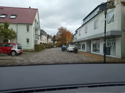
Böttes Holzsteinofen
Restaurant · Pizza · 0.6 km
Mittagskarte Pasta, Abends Pizza und mehr
2 Sender Straße, Verl
Fr-Su 18:00-22:00; Mo-Th 12:00-14:00,18:00-22:00
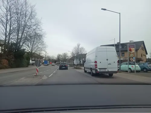
Bäckerei Schumacher Cafe Kaunitz
Cafe · Coffee Shop, Sandwich · 4.6 km
8 Fürst-Wenzel-Platz, Verl
Mo-Fr 05:00-18:00; Sa 05:00-13:00; PH,Su 07:00-11:00

Hotel-Restaurant Piärdestall
Restaurant · German, French · 7.2 km
245 Gütersloher Straße, Hövelhof
Tu off; Mo,We-Sa 17:30-23:00; Su 11:30-14:30,17:30-23:00
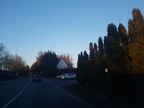
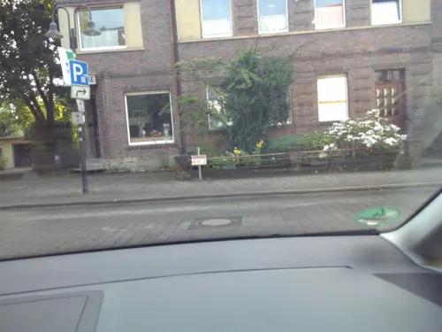
Pasta Imperia
Restaurant · Pizza, Salad, Fish, Wings, Italian, Pasta, Soup · 6.1 km
1 Paderborner Straße, Gütersloh
Mo-Su 17:00-22:00
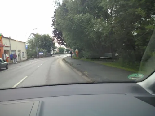
Pizzaria Italia bei Rocco
Restaurant · Pizza · 7.1 km
64 Bahnhofstraße, Schloß Holte-Stukenbrock
Mo-Th,Su 17:00-21:00; Fr,Sa 17:00-21:30
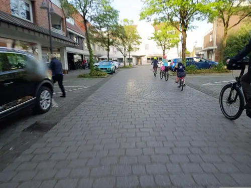
Restaurant Athen
Restaurant · Greek · 0.7 km
12 Wilhelmstraße, Verl
Tu-Fr 11:30-14:30,17:00-22:00; Sa 11:30-14:30,17:00-23:00; Su,PH...
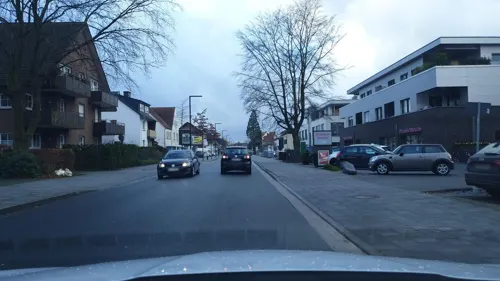


Schumachers Backstube
Cafe
41 Paderborner Straße, Verl
Su,PH 08:00-17:00; Sa 06:00-17:00; Mo-Fr 06:00-18:00

Bäckerei Goeken backen Schloß Holte-Stukenbrock
Bakery · 7.2 km
26 Holter Straße, Schloß Holte-Stukenbrock
Mo-Sa 07:00-17:00
127 more on the map.
History
The name Verl was first mentioned in the expression 'Henricus de Verlo', which can be found in a charter from 1264. The designation probably relates to the farm estate Meier zu Verl, which belonged to a group of four estates that presumably came into existence around the turn of the first millennium. Some earlier documented references to estates in this area can be dated back to the year 1188.
In 1512, a chapel was built in the farming community. This chapel was turned into a parish church in 1577 and, since then, has marked the social center for the communities of Verl, Sende and Bornholte. Count Wenzel Anton von Kaunitz-Rietberg sponsored the building of the church of St. Anna at the location of the former chapel in 1792. The construction of this classical hall church was completed in 1801.
Until the establishment of the Kingdom of Westphalia in 1807 during the Napoleonic period, Verl belonged to the County of Rietberg. From 1807 on, the county was divided into two administrative districts (called cantons) -- Rietberg and Neuenkirchen—comprising the now independent municipalities of Verl, Bornholte, Sende, Liemke, and Österwiehe. After the Congress of Vienna in 1815, the districts where incorporated into the newly created district of Wiedenbrück.
From the History section of Verl on Wikipedia, under CC BY-SA 4.0.
Where to stay12
FROLI-Wohnmobilstellplatz "Am Sennebach"
Campground · 7.1 km
27 Liemker Straße, Schloß Holte-Stukenbrock
Churches and places of worship26
St. Heinrich
Church · Catholic · 5.6 km
13 Am Menkebach, Schloß Holte-Stukenbrock
Sankt Friedrich
Church · Roman Catholic · 6.2 km
517 Avenwedder Straße, Gütersloh
Shopping34
Gas and EV charging18
Schloss-Handel Gastankst...
Gas station · 6.8 km
340 Kaunitzer Straße, Schloß Holte-Stukenbrock
Schools, colleges and libraries19
Volkshochschule Verl – Harsewinkel – Schloß Holte-Stukenbrock (VHS)
School · 7.0 km
8 Kirchstraße, Schloß Holte-Stukenbrock
Healthcare10
Apotheke am Holter Kirchplatz
Clinic and pharmacy · 7.1 km
10 Holter Kirchplatz, Schloß Holte-Stukenbrock
Apotheke in Eckardtsheim
Clinic and pharmacy · 5.8 km
210 Verler Straße, Bielefeld
Map of Verl
250 places. The map loads OpenStreetMap tiles when you open it.
Getting there and nearby towns
Flugplatz Bielefeld (BFE) is the nearest airport with scheduled flights listed in OpenStreetMap, 9 km away.
- Bielefeld 17 km north, about 17 min by car
- Werther 23 km north, about 23 min by car
- Paderborn 25 km southeast, about 25 min by car
- Versmold 30 km northwest, about 30 min by car
- Warendorf 37 km west, about 37 min by car
- Hilter 38 km northwest, about 38 min by car
- Vlotho 39 km northeast, about 39 min by car
- Bad Wünnenberg 42 km south, about 42 min by car
- Hamm 53 km southwest, about 53 min by car
- Osnabrück 54 km northwest, about 54 min by car
Drive times are estimates from straight-line distance, not routes.
Local news
Headlines from INDB.
Reviews, tips and questions
Loading what members have shared...
Sources and licences
- GeoNames (CC BY 4.0): population, coordinates, regions and time zone
- Mapillary (see each image): photos
- OpenStreetMap contributors (ODbL 1.0): places, airports, map data
- Wikidata (CC0 1.0): elevation, founding date, time zone, website, landmarks and historic places
- Wikimedia Commons (see each image): photos
- Wikipedia (CC BY-SA 4.0): overview and history text
Photo credits
- Stolperstein Verl Hauptstraße 33 Anna Wichelhausen, Tomtom10, CC BY-SA 4.0
- Stolperstein Verl Hauptstraße 33 Auguste Altmann, Tomtom10, CC BY-SA 4.0
- Stolperstein Verl Sender Straße 1 Richard Max Hope, Tomtom10, CC BY-SA 4.0
- Stolperstein Verl Hauptstraße 33 Laura Hope, Tomtom10, CC BY-SA 4.0
- Verl - Erlöserkirche, Hagar66, CC BY-SA 3.0
- Verl - Heimthaus Verl, C-we, CC BY-SA 3.0
- Verl - Fussballstadion - Stadion an der Poststraße, C-we, CC BY-SA 3.0
- Verl-buermannstrasse 22 01, Erdkröte, CC BY-SA 3.0
- Ortsdurchfahrt Verl abends2, Walcoford, CC BY-SA 4.0
- Ortsdurchfahrt Verl morgens2, Walcoford, CC BY-SA 4.0
- Ortsdurchfahrt Verl morgens1, Walcoford, CC BY-SA 4.0
- Ortsdurchfahrt Verl abends1, Walcoford, CC BY-SA 4.0
- Verl-sender strasse 23 01, Erdkröte, CC BY-SA 3.0
- Paderborner-strasse-verl-2018, Michael W, CC BY-SA 2.0
- Verl-Florianweg-Hauptfeuerwehrwache-2026-08-03, C-we, CC BY-SA 4.0
- Verl-bildstock am oelbach01, Erdkröte, CC BY-SA 3.0
- Verl - 2026-02-15 - Bildstock Am Ölbach 7 (IMG 20260215 135542), Tsungam, CC BY-SA 4.0
- Verl - 2026-02-15 - Bildstock Am Ölbach 7 (IMG 20260215 135555), Tsungam, CC BY-SA 4.0
- Verl-buermannstrasse 10 01, Erdkröte, CC BY-SA 3.0
- Verl-buermannstrasse 10 02, Erdkröte, CC BY-SA 3.0
- Verl-kirchplatz 5 01, Erdkröte, CC BY-SA 3.0
- Verl-Marktstrasse-Marktplatz-2018-12-18, Michael W, CC BY-SA 2.0
- Verl-twe01, Erdkröte, CC0
- Verl-alte vikarie01, Erdkröte, CC BY-SA 3.0
- Verl-bahnhofstrasse 6 01, Erdkröte, CC BY-SA 3.0
- Verl-hauptstrasse 15 01, Erdkröte, CC BY-SA 3.0
- Verl - Denkmalplatz, C-we, CC BY-SA 3.0
- Stolpersteinlage Verl Sender Straße 1, Tomtom10, CC BY-SA 4.0
- Stolpersteine Verl Hauptstraße 33, Tomtom10, CC BY-SA 4.0
- Verl - Ehrenmal für die Gefallenen des Ersten Weltkrieges, C-we, CC BY-SA 3.0
- Stolpersteinlage Verl Hauptstraße 33, Tomtom10, CC BY-SA 4.0
- Verl-nepomuk01, Erdkröte, CC BY-SA 3.0
- Verl-oelbach03, Erdkröte, Public domain
- Botanischer-guetersloh, Hewa, CC0
- Verl - St. Anna Kirche - Blick auf den Turm, C-we, CC BY-SA 3.0
- Verl-fleckernheide01, Erdkröte, CC0
- Herz-Jesu-Kirche Avenwedde 01, ( Bartlebooth ( talk )), CC BY-SA 3.0
- Friedrichsdorf - St. Friedrich - 1, Ath, CC0
- Gütersloh - Spexard - St. Konrad, Hagar66, CC BY-SA 3.0
- Sende St. Heinrich 03, Daniel Brockpähler, CC BY-SA 3.0
- Friedrichsdorf Johanneskirche 3, Daniel Brockpähler, CC BY-SA 3.0
- Schloss-Holte 02, Grugerio, CC BY-SA 3.0
- Hasselbachaue, Stullinski, CC BY-SA 4.0
- Gymnasium Verl im Jahr 2021, Avocordo, CC BY-SA 4.0
- Lutherkirche Windflöte, Der wahre Jakob, CC BY-SA 3.0
- Paracelsus Weg 13, HerausforderungTN, CC BY-SA 4.0
- Stolperstein Verl Hauptstraße 33 Fritz Hope, Tomtom10, CC BY-SA 4.0
- Bielefeld-eichen-buchenwald strothbach01, Erdkröte, CC BY-SA 3.0
- Verl - Naturschutzgebiet Grasmeerwiesen, C-we, CC BY-SA 3.0
- Grosse-wiese-stoerche, Psalm64, CC BY-SA 4.0
- Schloss Holte - 2016-03-13 - NSG Holter Wald (83), Tsungam, CC BY-SA 4.0
- Bielefeld Kampeters Kolk 2, Zefram, CC BY 2.0 de
- NRW SteinhorsterBecken, Maximiliane 88, CC BY-SA 4.0
- Verl-seppelerkapelle01, Erdkröte, CC BY-SA 3.0
- Verl-Grundeschule-am-Bühlbusch-2024-05-28, zuse, CC BY-SA 4.0
- Street-level photo, zuse, CC BY-SA 4.0
- Street-level photo, zuse, CC BY-SA 4.0
- Street-level photo, zuse, CC BY-SA 4.0
- Street-level photo, zuse, CC BY-SA 4.0
- Street-level photo, zuse, CC BY-SA 4.0
- Street-level photo, dsmm, CC BY-SA 4.0
- Street-level photo, zuse, CC BY-SA 4.0
- Street-level photo, zuse, CC BY-SA 4.0
- Street-level photo, zuse, CC BY-SA 4.0
- Street-level photo, Foto123, CC BY-SA 4.0
- Street-level photo, Schmarvis, CC BY-SA 4.0
- Street-level photo, derlipper, CC BY-SA 4.0
- Street-level photo, zuse, CC BY-SA 4.0
- Street-level photo, zuse, CC BY-SA 4.0
- Street-level photo, zuse, CC BY-SA 4.0
- Street-level photo, zuse, CC BY-SA 4.0
- Street-level photo, zuse, CC BY-SA 4.0
- Street-level photo, zuse, CC BY-SA 4.0
- Street-level photo, zuse, CC BY-SA 4.0
- Street-level photo, thetornado76, CC BY-SA 4.0
- Street-level photo, zuse, CC BY-SA 4.0
- Street-level photo, flohoff, CC BY-SA 4.0
- Street-level photo, zuse, CC BY-SA 4.0
- Street-level photo, zuse, CC BY-SA 4.0
- Street-level photo, flohoff, CC BY-SA 4.0
- Street-level photo, zuse, CC BY-SA 4.0


Page built November 8, 2026. Spotted a mistake? Tell us or suggest a place.