


Oerlinghausen, Germany
Oerlinghausen is a town of 17,403 people in North Rhine-Westphalia, Germany.
Why visit Oerlinghausen
Townapedia lists 46 museums and landmarks, 31 parks and trails, 82 places to eat, 18 places to stay and 39 attractions in and around town.
Highlights include Hofladen "Königshof", Auf dem Polle, MuMa - Murnau & Massolle Forum and Hünenkapelle.
Weather in Oerlinghausen
Forecast from MET Norway (CC BY 4.0). Full forecast
About Oerlinghausen
Oerlinghausen (German pronunciation: [œʁlɪŋˈhaʊzn̩] ; Low German: Ankhiusen) is a city in the Lippe district of North Rhine-Westphalia, Germany, located between Bielefeld and Detmold in the Teutoburg Forest. At the end of February 2023, it had 17,314 inhabitants.
From the Wikipedia article Oerlinghausen (this version), under CC BY-SA 4.0.
Things to do39

Hofladen "Königshof"
Farm and orchard · 2.3 km
207 Oerlinghauser Straße, Bielefeld
Tu-Fr 08:00-18:00; Sa 08:00-14:00




27 more on the map.
Museums and landmarks46


Hünenkapelle
Monument and historic site · 2.4 km
Ruine einer frühmittelalterlichen Saalkirche, von der heute nur noch die Umfassungsmauern erhalten sind



CEWECO-Haus
Monument and historic site · 0.6 km
6-10 Detmolder Straße, Oerlinghausen


Wohnhaus von Carl David Weber
Monument and historic site
4 Detmolder Straße, Oerlinghausen
Klimaerlebniswelt Oerlinghausen
Museum · 0.6 km
15 Am Kalkofen, Oerlinghausen
Mo closed; Tu-Su 10:00-18:00

Ehemalige Synagoge Oerlinghausen
Monument and historic site
4 Tönsbergstraße, Oerlinghausen
34 more on the map.
Parks, trails and playgrounds31


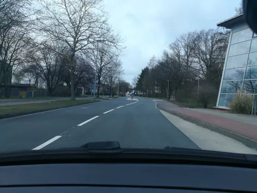
Sportbad Sennestadt
Sports field and stadium · 4.9 km
28 Travestraße, Bielefeld
Fr 13:00-18:00, Sa, Su, PH 10:00-18:00; SH 16:00-20:00


Trockentäler, Kastentäler und Dünen des oberen Westerholter Baches
Hiking and trails · 3.4 km
19 more on the map.
Restaurants and cafes82


Stella Italia (Telegraph)
Restaurant · Italian · 4.8 km
25 Hauptstraße, Schloß Holte-Stukenbrock
Mo,Tu,Th,Fr,Sa 17:30-23:00; Su 17:30-22:00; We off
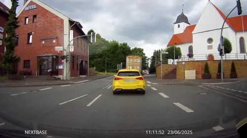
Tor-Deele
Restaurant · German · 4.7 km
5 Hauptstraße, Schloß Holte-Stukenbrock
Th-Tu 16:30-24:00; We off

Brunnen-Café Wölke
Cafe · 4.6 km
1 Bokelfenner Straße, Schloß Holte-Stukenbrock
Mo-Fr 06:00-18:00; Sa 06:00-13:00; Su 07:30-17:00
Café-Bistro Fahrzeit
Cafe · 2.7 km
12-14 Bahnhofstraße, Leopoldshöhe
Su off; Tu, We 09:00-17:30; Th 09:00-13:00; Fr, Sa 09:00-13:00,...
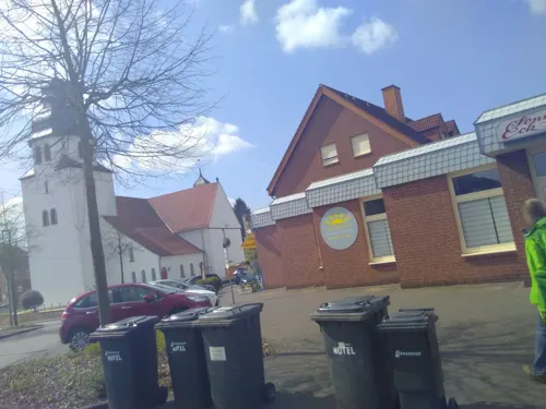
Grill am Markt
Restaurant · 4.6 km
1 Ottenheide, Schloß Holte-Stukenbrock
Mo-Sa 11:00-20:30; Su,PH off
Moe’s Diner
Restaurant · 4.6 km
32 Bielefelder Straße, Schloß Holte-Stukenbrock
Su 12:00-16:00, Tu-Su 17:00-22:00
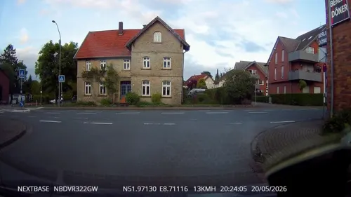
Noah’s Restaurant
Restaurant · 3.9 km
14 Bahnhofstraße, Oerlinghausen
We-Th 16:00-22:00; Fr-Sa 09:00-22:00; Su 09:00-19:00
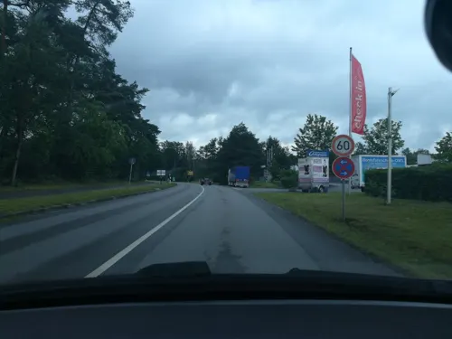
RUNWAY ONE
Restaurant · 2.5 km
43 Stukenbrocker Weg, Oerlinghausen
Mo-Th 08:00-17:00, Fr 14:00-23:00, Sa 12:00-23:00, Su 12:00-21:00
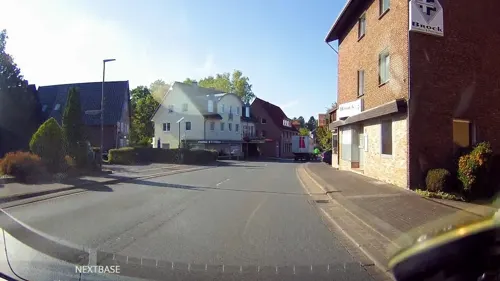
Stukenklause
Restaurant · 4.8 km
24 Hauptstraße, Schloß Holte-Stukenbrock
Mo-Sa 16:00-24:00; Su,PH off


70 more on the map.
History
First mentioned in documents in 1036, the town became a city in 1926 by authority of the Land of Lippe. In 1969 the city was expanded with the addition of Helpup, Währentrup and Lipperreihe as part of the "Gebietsreform" movement.
Oerlinghausen is home to an airfield which is one of Europe's largest gliding centres as well as the well known Archäologisches Freilichtmuseum Oerlinghausen (archaeological open-air museum) featuring reconstructions of a variety of dwellings spanning from 10,000 BC to 1000 AD.
The city has also been home to an unusual number of well-known sociologists. Marianne Weber (born Schnitger), who was born in Oerlinghausen and married Max Weber here in 1893, was a well-respected author herself. Niklas Luhmann and Richard Grathoff, two of the key sociologists who made the Bielefeld University one of the premier institutions for sociology in Europe, have also lived in Oerlinghausen for extended time periods.
From the History section of Oerlinghausen on Wikipedia, under CC BY-SA 4.0.
Where to stay18
Churches and places of worship25
Antoniuskapelle
Church · Catholic · 1.1 km
12 Steinbruchstraße, Oerlinghausen
Evangelisch-reformierte Kirche Helpup
Church · Evangelical · 3.8 km
36 Lagesche Straße, Oerlinghausen
Shopping21
Gas and EV charging10
AVIA Rosendahl
Gas station · 4.7 km
8 Bielefelder Straße, Schloß Holte-Stukenbrock
Schools, colleges and libraries17
Healthcare8
Map of Oerlinghausen
250 places. The map loads OpenStreetMap tiles when you open it.
Getting there and nearby towns
Flugplatz Bielefeld (BFE) is the nearest airport with scheduled flights listed in OpenStreetMap, 8 km away.
- Bielefeld 12 km northwest, about 12 min by car
- Verl 13 km southwest, about 13 min by car
- Steinhagen 19 km west, about 19 min by car
- Werther 22 km northwest, about 22 min by car
- Rietberg 23 km southwest, about 23 min by car
- Spenge 24 km northwest, about 24 min by car
- Paderborn 27 km south, about 27 min by car
- Rheda-Wiedenbrück 27 km southwest, about 27 min by car
- Vlotho 27 km northeast, about 27 min by car
- Salzkotten 32 km south, about 32 min by car
Drive times are estimates from straight-line distance, not routes.
Local news
Headlines from INDB.
Reviews, tips and questions
Loading what members have shared...
Sources and licences
- GeoNames (CC BY 4.0): population, coordinates, regions and time zone
- Mapillary (see each image): photos
- OpenStreetMap contributors (ODbL 1.0): places, airports, map data
- Wikidata (CC0 1.0): elevation, founding date, time zone, website
- Wikimedia Commons (see each image): photos
- Wikipedia (CC BY-SA 4.0): overview and history text
Photo credits
- Bielefeld - 2015-05-08 - BI-011 + LIP-016 (2), Tsungam, CC BY-SA 3.0
- Ölbachquelle02, Nikater, CC BY-SA 3.0
- Alter Krug Helpup02, Nikater, Public domain
- Oerlinghausen-Antoniuskapelle03, Nikater, Public domain
- Auf dem Polle Bielefeld, Bielibob, CC BY-SA 3.0
- Oerlinghausen-Detmolder Straße 6-10 01, Nikater, Public domain
- Ev. ref. Kirche Helpup, Tola69, CC BY-SA 3.0
- HES Eingang, Andy1982, CC BY 3.0
- Toenskapelle, User:1984isReality, CC BY 2.5
- Oerlinghausen-Hauptstr1 01, Nikater, Public domain
- Niklas-Luhmann-Gymnasium01, User:Nikater, CC BY-SA 4.0
- St. Johannes Stukenbrock, Daniel Brockpähler, CC BY-SA 3.0
- St. Michael Oerlinghausen Außen 3, Daniel Brockpähler, CC BY-SA 3.0
- Oerlinghausen - 2015-05-08 - LIP-038 Grüte (19), Tsungam, CC BY-SA 3.0
- Oerlinghausen - 2015-04-04 - Steinbruch Barkhauser Berg (12), Tsungam, CC BY-SA 3.0
- Oerlinghausen - 2015-02-14 - Tönsberg (32), Tsungam, CC BY-SA 3.0
- Bielefeld - NSG Ubbedisser Berg - 13, Ath, CC0
- Römerlager Bielefeld Gelände Grabungsschnitt Wall Ausgrabung, Axel Hindemith, CC BY-SA 3.0
- Evangelische Kirche Ubbedissen6, Chris06, CC BY-SA 4.0
- Bielefeld - NSG Markengrund - 02, Ath, CC0
- Bielefeld - Hellegrundsberg, Ath, CC0
- MuMa-Forum Bielefeld 2022 1, Dr. Peter Schneider, CC BY-SA 4.0
- Sennestadt Jesus-Christus-Kirche, Fotograf: Thorsten Försterling, CC BY-SA 3.0 de
- Asemissen Neuapostolische Kirche, Daniel Brockpähler, CC BY-SA 3.0
- Oerlinghausen - 2015-02-14 - Tönsberg (06), Tsungam, CC BY-SA 3.0
- Oerlinghausen - NSG Grüte - 02, Ath, CC0
- Bielefeld - NSG Markengrund - 15, Ath, CC0
- Bielefeld - 2015-05-08 - BI-011 + LIP-016 (5), Tsungam, CC BY-SA 3.0
- Augustdorf - 2016-05-21 - LIP-002 Augustdorfer Dünenfeld (003), Tsungam, CC BY-SA 4.0
- Bielefeld - NSG Sprungbach Oberlauf - 08, Ath, CC0
- Oerlinghausen - 2015-02-22 - LIP-017 Westerholter Bach (10), Tsungam, CC BY-SA 3.0
- Oerlinghausen - 2015-05-08 - LIP-065 Menkhauser Bachtal mit Schopketal (8), Tsungam, CC BY-SA 3.0
- Oerlinghausen-Kirche01, Nikater, CC BY-SA 4.0
- Oerlinghausen-Antoniuskapelle02, Nikater, Public domain
- Löwenburg-Hünensaut-nach-Carl-Schuchhardt, Carl Schuchhardt, Public domain
- Oerlinghausen - 2015-02-14 - Steinbruch Barkhauser Berg (23), Tsungam, CC BY-SA 4.0
- Bielefeld - NSG Markengrund - 16, Ath, CC0
- Oerlinghausen - 2017-04-20 - LIP-068 Toensberg (6), Tsungam, CC BY-SA 4.0
- Evangelische Kirche Ubbedissen1, Chris06, Public domain
- Street-level photo, derlipper, CC BY-SA 4.0
- Street-level photo, thorstenh, CC BY-SA 4.0
- Street-level photo, derlipper, CC BY-SA 4.0
- Street-level photo, thorstenh, CC BY-SA 4.0
- Street-level photo, zuse, CC BY-SA 4.0
- Street-level photo, Foto123, CC BY-SA 4.0
- Street-level photo, derlipper, CC BY-SA 4.0
- Street-level photo, derlipper, CC BY-SA 4.0
- Street-level photo, derlipper, CC BY-SA 4.0
- Street-level photo, thorstenh, CC BY-SA 4.0
- Street-level photo, derlipper, CC BY-SA 4.0
- Street-level photo, derlipper, CC BY-SA 4.0
- Street-level photo, Schmarvis, CC BY-SA 4.0
- Street-level photo, thorstenh, CC BY-SA 4.0
- Street-level photo, derlipper, CC BY-SA 4.0
- Street-level photo, zuse, CC BY-SA 4.0
- Street-level photo, derlipper, CC BY-SA 4.0
- Street-level photo, zuse, CC BY-SA 4.0


Page built November 8, 2026. Spotted a mistake? Tell us or suggest a place.