


Rietberg, Germany
Rietberg is a town of 30,055 people in North Rhine-Westphalia, Germany.
Why visit Rietberg
Townapedia lists 37 museums and landmarks, 54 parks and trails, 180 places to eat, 18 places to stay and 16 attractions in and around town.
Highlights include Tierpark Nadermann, Biolandhof Vollmer, Bibeldorf and Wiedenbrücker Schule.
Weather in Rietberg
Forecast from MET Norway (CC BY 4.0). Full forecast
About Rietberg
Rietberg (German: [ˈʁiːtbɛʁk] ) is a town in the district of Gütersloh in the state of North Rhine-Westphalia, Germany. It is located approximately 10 km south of Gütersloh and 25 km north-west of Paderborn in the region Ostwestfalen-Lippe. The town is located on the river Ems. There are 28,878 people living in Rietberg.
From the Wikipedia article Rietberg (this version), under CC BY-SA 4.0.
Things to do16

Tierpark Nadermann
Zoo and aquarium · 4.9 km
5 Grafhörsterweg, Delbrück
Mar 09:00-18:00; Apr-Sep 09:00-19:00; Oct 09:00-18:00; Nov 09:00-17:00

Biolandhof Vollmer
Farm and orchard · 8.1 km
Bioland Betrieb mit Hofladen & Lieferservice. Sortiment: Rohmilch von Weidekühen, Obst und Gemüse, Kartoffeln, Getreide, Fleisch, Eier,...
4 Schildstraße, Rheda-Wiedenbrück
Tu 16:00-18:00; We 10:00-12:00; Fr 10:00-12:00,16:00-18:00; Sa 10:00-12:00
Geflügelhof Brunnert
Farm and orchard · 4.7 km
19 Enger Weg, Delbrück
Mo-Fr 08:00-18:00; Sa 08:00-12:00
Straussenhof Daniel
Farm and orchard · 4.5 km
14 Spechtweg, Delbrück
Tu-Fr 16:00-18:00; Sa 10:00-14:00; Mo,Su,PH off


Michels Deele
Farm and orchard · 6.2 km
10 Im Kuhlen, Delbrück
Mo-Fr 15:00-18:30; Tu-Th 09:00-12:00; Sa 09:00-13:00
Hofladen Spargelhof Milsmann
Farm and orchard · 5.5 km
55 Haselhorststraße, Rietberg

4 more on the map.
Museums and landmarks37




Franziskanerkloster
Monument and historic site · 8.4 km
19 Mönchstraße, Rheda-Wiedenbrück
Haus Aussel
Monument and historic site · 7.4 km
133 Lippstädter Straße, Rheda-Wiedenbrück
25 more on the map.
Parks, trails and playgrounds54


Stadtpark und Botanischer Garten Gütersloh
Park · 10.2 km
Park and botanical garden in Gütersloh, Germany


Gartenschaupark Teil Nord (LGS-Nord)
Park · 1.3 km
Apr-Oct Mo-Su,PH 06:00-21:00; Nov-Mar Mo-Su,PH 06:00-19:00
42 more on the map.
Restaurants and cafes180
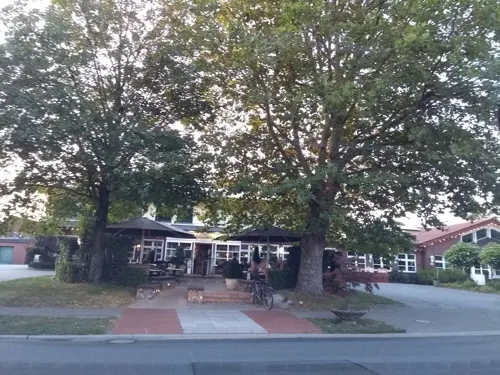
Schnittker
Restaurant · German · 5.2 km
88 Schöninger Straße, Delbrück
Mo-Fr 07:00-14:00,16:00-24:00; Sa 09:00-14:00,16:00-24:00; Su,PH 09:00+
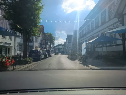
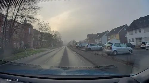
Athen
Restaurant · Greek, Pizza · 2.9 km
39 Gütersloher Straße, Rietberg
Tu-Th 17:30-23:00; Fr 17:30-24:00; Sa-Su 12:00-14:30; Sa...
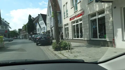
Blue Lemon | Bistro & Living
Cafe · Mediterranean
44 Rathausstraße, Rietberg
We 09:00-18:00; Th-Fr 09:00-22:00; Sa 16:00-22:00; Su 10:00-17:00

Bäckerei Vorbohle GmbH Co. KG
Cafe · Cake · 8.5 km
11 Klingelbrink, Rheda-Wiedenbrück
Mo-Fr 06:30-18:30; Sa 06:00-13:00; Su 08:00-11:00
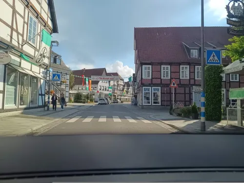
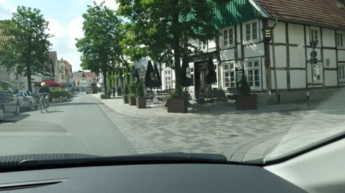
Chans Thai Kitchen
Restaurant · Thai
11 Rathausstraße, Rietberg
We-Sa 17:00-22:00; Su 12:00-14:00,17:00-22:00
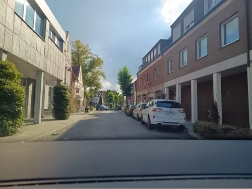
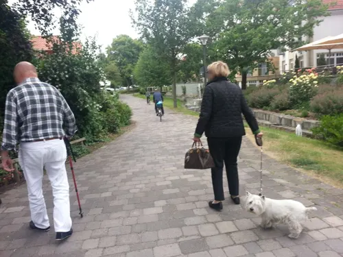
Mondo Paradiso
Restaurant · Italian Pizza · 2.5 km
104 Lange Straße, Rietberg
PH,Tu-Su 17:00-23:00; Mo off


Pizzeria Da Vito
Restaurant · Italian · 8.4 km
90-98 Bielefelder Straße, Rheda-Wiedenbrück
Tu, Th, Sa 17:30-22:00; Fr 11:30-14:00, 17:30-22:00; Su 17:00-21:00
168 more on the map.
History
Rietberg was first mentioned as 'Rietbike' around the year 1100. This name refers to Ried which is an old name for reed and to 'Bach' which means creek. There was a castle that dated back to the 11th century. From 1237, it was seat of the imperial County of Rietberg.
The County of Rietberg was an independent German territory until the year 1807. In the Middle Ages the Rietberg county was a very small state. Nevertheless, Rietberg had its own militia, its own currency and its own laws. Even foreign policy, on a small scale, was conducted independently. Until the 17th century Rietberg coined its own money. Until the 18th century the government was located in the castle, built in the 14th century.
Wenzel Anton, Prince of Kaunitz-Rietberg, the Austrian chancellor, inherited the county from his mother. At the beginning of the 19th century the castle was torn down because it was not needed anymore. Only the St. John's chapel from 1748 can still be visited today.
In the year 1807 Rietberg became a part of Kingdom of Westphalia, while the title Count Rietberg remains extant in the House of Liechtenstein, with Hans-Adam II, Prince of Liechtenstein and each born member of his dynasty and their dynastic wives bearing the title currently.
From the History section of Rietberg on Wikipedia, under CC BY-SA 4.0.
Where to stay18
Churches and places of worship28
Herz-Jesu-Kirche
Church · Catholic · 2.7 km
171 Druffeler Straße, Rietberg
Marienkirche
Church · Catholic · 8.4 km
22 Mönchstraße, Rheda-Wiedenbrück
St. Joseph
Church · Catholic · 6.5 km
96 Westenholzer Straße, Delbrück
Shopping41
Gas and EV charging26
Schools, colleges and libraries23
Healthcare15
Map of Rietberg
250 places. The map loads OpenStreetMap tiles when you open it.
Getting there and nearby towns
Flugplatz Bielefeld (BFE) is the nearest airport with scheduled flights listed in OpenStreetMap, 19 km away.
- Verl 10 km northeast, about 10 min by car
- Salzkotten 19 km southeast, about 19 min by car
- Steinhagen 21 km north, about 21 min by car
- Paderborn 25 km southeast, about 25 min by car
- Bielefeld 26 km north, about 26 min by car
- Werther 30 km north, about 30 min by car
- Versmold 32 km northwest, about 32 min by car
- Soest 34 km southwest, about 34 min by car
- Warendorf 34 km northwest, about 34 min by car
- Sassenberg 33 km northwest, about 33 min by car
Drive times are estimates from straight-line distance, not routes.
Local news
Headlines from INDB.
Reviews, tips and questions
Loading what members have shared...
Sources and licences
- GeoNames (CC BY 4.0): population, coordinates, regions and time zone
- Mapillary (see each image): photos
- OpenStreetMap contributors (ODbL 1.0): places, airports, map data
- Wikidata (CC0 1.0): elevation, founding date, time zone, website, landmarks and historic places
- Wikimedia Commons (see each image): photos
- Wikipedia (CC BY-SA 4.0): overview and history text
Photo credits
- Rietberg town centre, Michael Schickhoff, CC BY 2.5
- Rietberger Fischteiche, Athde, CC BY-SA 3.0
- Rietberg Kirche St. Joh.Bapt.+Hist.Rathaus, ludger1961, CC BY-SA 3.0
- Ev. Kirche Rietberg, Druffeler, CC BY-SA 3.0
- Rietberg Heimathaus, Hagar66, Public domain
- Gymnasium Rietberg, Bielibob, CC BY-SA 3.0
- Rietberg Emsblick am ehemaligen Franziskanerkloster, Hagar66, Public domain
- Rietberg Katholische Pfarrkirche St Johannes Baptist, Hagar66, Public domain
- Klosterkirche Rietberg, Druffeler, CC BY-SA 3.0
- Kirchhoff rietberg, Kalorie, CC BY-SA 3.0
- Rietberg ehemaliges Conduktionshaus, Hagar66, Public domain
- Rietberg, Kriegerdenkmal 1939-1945, Joachim K. Löckener, CC BY-SA 3.0
- Rietberg historisches Rathaus, Hagar66, Public domain
- Speith-Orgelbau Rietberg, Druffeler, CC BY-SA 4.0
- Aussichtsturm LGS Rietberg, Druffeler, CC BY-SA 3.0
- Rietberg - Johannesweg - Bildstock 1, Ath, CC0
- Landesgartenschau Rietberg, Druffeler at German Wikipedia ( Original text: Druffeler ), Public domain
- Rietberg-dortenbach01, Erdkröte, Public domain
- Flammenmuehle Modell LGS Rietberg 2008, Druffeler, Public domain
- Theater GT Südost, Steffan Sturm, CC BY-SA 3.0 de
- Botanischer-guetersloh, Hewa, CC0
- Gütersloh - Spexard (Naturschutzgebiet), Hagar66, CC BY-SA 3.0
- Schloss Rietberg, Unknown author Unknown author, Public domain
- St. Marien (Wiedenbrück)-2010, Joachim K. Löckener, CC BY-SA 3.0
- Herz-Jesu-Kirche Druffel, Druffeler at German Wikipedia ( Original text: Druffeler ), Public domain
- Bokel St. Anna Kirchturm, Daniel Brockpähler, CC BY-SA 3.0
- NSG Schellenwiese001, Druffeler, CC BY-SA 3.0
- Westenholz St. Joseph Seitenansicht, Daniel Brockpähler, CC BY-SA 3.0
- Rheda-Wiedenbrück, Kreuzkirche, Joachim K. Löckener, CC BY 3.0
- Mastholte St. Jakobus Seitenansicht, Daniel Brockpähler, CC BY-SA 3.0
- Emsauen, Druffeler, CC BY-SA 3.0
- St. Lambertus Laurentius Langenberg, Daniel Brockpähler, CC BY-SA 3.0
- Rietberg-Westerwiehe St. Laurentius Kirchturm, Daniel Brockpähler, CC BY-SA 3.0
- Kunsthaus Rietberg - Museum Wilfried Koch, Waltons77, CC BY-SA 3.0
- NSG Am Merschgraben, Druffeler, CC BY-SA 3.0
- Emssee001, Druffeler, CC BY-SA 3.0
- Naturschutzgebiet Im Binner0001, Druffeler, CC BY-SA 3.0
- NSG Schellenwiese, Druffeler, CC BY-SA 3.0
- Spexard - NSG Spexard - 2, Ath, CC0
- NRW SteinhorsterBecken, Maximiliane 88, CC BY-SA 4.0
- Jaguar relaxed, Ötscher, CC BY-SA 4.0
- St.-Johannes-Nepomuk-Kapelle, außen, Joachim K. Löckener, CC BY 3.0
- Cultura Rietberg, Bielibob, CC BY-SA 3.0
- Street-level photo, thetornado76, CC BY-SA 4.0
- Street-level photo, gap, CC BY-SA 4.0
- Street-level photo, zuse, CC BY-SA 4.0
- Street-level photo, mofte105, CC BY-SA 4.0
- Street-level photo, hroggar, CC BY-SA 4.0
- Street-level photo, zuse, CC BY-SA 4.0
- Street-level photo, zuse, CC BY-SA 4.0
- Street-level photo, hroggar, CC BY-SA 4.0
- Street-level photo, gap, CC BY-SA 4.0
- Street-level photo, zuse, CC BY-SA 4.0
- Street-level photo, zuse, CC BY-SA 4.0
- Street-level photo, nrailuj, CC BY-SA 4.0
- Street-level photo, dsmm, CC BY-SA 4.0
- Street-level photo, zuse, CC BY-SA 4.0
- Street-level photo, zuse, CC BY-SA 4.0
- Street-level photo, flohoff, CC BY-SA 4.0
- Street-level photo, mofte105, CC BY-SA 4.0
- Street-level photo, analuisa, CC BY-SA 4.0
- Street-level photo, zuse, CC BY-SA 4.0
- Street-level photo, nrailuj, CC BY-SA 4.0
- Street-level photo, thetornado76, CC BY-SA 4.0
- Street-level photo, zuse, CC BY-SA 4.0
- Street-level photo, zuse, CC BY-SA 4.0
- Street-level photo, thetornado76, CC BY-SA 4.0
- Street-level photo, mofte105, CC BY-SA 4.0


Page built November 8, 2026. Spotted a mistake? Tell us or suggest a place.