


Dillingen, Germany
Dillingen/Saar
Dillingen is a town of 21,526 people in Saarland, Germany.
Why visit Dillingen
Townapedia lists 166 museums and landmarks, 29 parks and trails, 164 places to eat, 15 places to stay and 5 attractions in and around town.
Highlights include Hoesberg, Limberg, Bodinets-kreuz and Altes Schloss Dillingen.
Weather in Dillingen
Forecast from MET Norway (CC BY 4.0). Full forecast
About Dillingen
Dillingen (German pronunciation: [ˈdɪlɪŋən]; officially Dillingen/Saar; French: Dillange) is a town in the district of Saarlouis, in Saarland. It has about 20,000 inhabitants and is divided into three districts: Dillingen city centre, Pachten and Diefflen. The city is located on the edge of the Saar-Hunsrück Nature Park at the mouth of the Prims in the Saar and is located about 10 km from the French border. Dillingen is located about 60 km from Luxembourg City and Trier, 50 km from Metz and 30 km from Saarbrücken and is directly adjacent to the urban area of Saarlouis.
From the Wikipedia article Dillingen, Saarland (this version), under CC BY-SA 4.0.
Things to do5




Museums and landmarks166

Bodinets-kreuz
Monument and historic site
Barockes helles Sandsteinkreuz mit Steinkruzifix auf Steinsockel


Contiomagus
Monument and historic site · 1.5 km
Archaeological site in Dillingen/Saar, Germany


Saar Polygon
Monument and historic site · 5.9 km
Monument in Ensdorf, Saarland, Germany

Westwallmuseum, Rb 114a, "Erlkönig"
Museum · 3.6 km
Der einzige erhaltene Regelbau mit freier Kehlfront und Eingangsverteidigung in dieser Baureihe
154 more on the map.
Parks, trails and playgrounds29
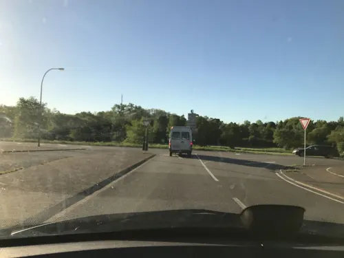
Indoor Spielpark Kids-World
Playground · 3.1 km
Kinder- und Freizeitzentrum
199 Saarwellinger Straße, Saarlouis





Sonnenbad Steinrausch
Sports field and stadium · 3.6 km
131 Kurt-Schumacher-Allee, Saarlouis


17 more on the map.
Restaurants and cafes164

Capizzi Napoletana
Restaurant · Pizza · 1.1 km
We, Th 17:30-22:00; Fr 17:30-23:00; Sa 14:30-23:00; Su 12:00-22:00
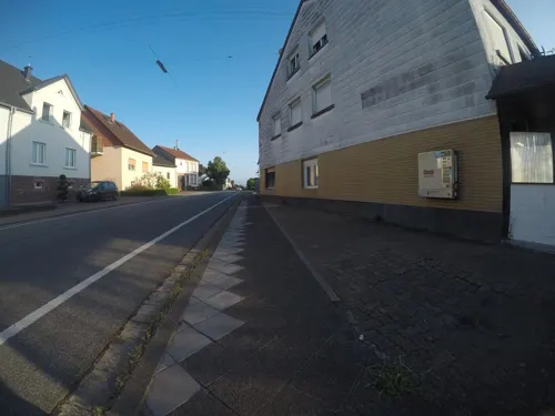
Roma
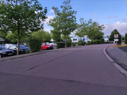
Restaurant · Italian · 4.4 km
1 Poststraße, Rehlingen-Siersburg
Mo-Sa 16:30-22:50, Su 11:30-21:50

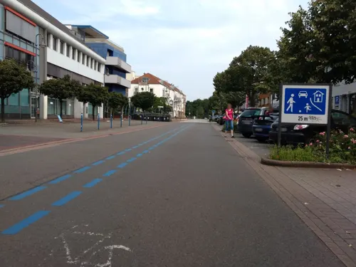
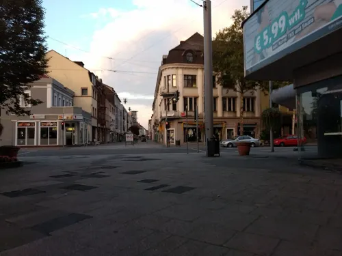



152 more on the map.
History
The importance of the Dillingen-Wallerfangen area on both banks of the middle Saar in the prehistoric and early historic eras is attested by a number of finds:
rich bronze caskets of the late Urnfield period (9th century BC), a multi-tiered partial defensive wall (de:Abschnittsbefestigung) of the Hallstatt culture (8th-6th century BC) on the nearly 389 metres (1,276 ft)-high, peninsula-like massif of the Limberg overlooking the Saar, and a cemetery with a "princely" grave containing a golden torc and arm rings from late Hallstatt period (around 500 BC).
The Gallo-Roman settlement of Contiomagus stood at the intersection of the highways from Metz-Mainz and Trier-Straßburg in today's district of Pachten. Around 275/276, during the Migration Period, Contiomagus was destroyed and rebuilt. The oldest written mention of "Dillingen" and "Pachten" can be found in a document of Albero von Montreuil, Bishop of Trier (1131–1152). 1324 sees the first written mention of "Diefflen", and 1357 the first mention of the Old Castle in Dillingen (Altes Schloss).
The area was devastated by the Thirty Years War between 1618 and 1648, and again in 1672-1678/79 in the Franco-Dutch War. In 1685, the feudal ruler of Dillingen received permission from King Louis XIV of France to build an ironworks, the Dillinger Hütte.
From the History section of Dillingen, Saarland on Wikipedia, under CC BY-SA 4.0.
Where to stay15
Churches and places of worship30
Shopping35
Gas and EV charging13
bike-energy Ladestation
EV charging · 1.3 km
14 Wallerfanger Straße, Dillingen/Saar
Schools, colleges and libraries27
Healthcare19
Map of Dillingen
250 places. The map loads OpenStreetMap tiles when you open it.
Getting there and nearby towns
Saarbrücken Airport (SCN) is the nearest airport with scheduled flights listed in OpenStreetMap, 32 km away.
- Saarlouis 5 km south, about 5 min by car
- Beckingen 5 km north, about 5 min by car
- Saarwellingen 6 km east, about 6 min by car
- Schwalbach 9 km southeast, about 9 min by car
- Wadgassen 11 km south, about 11 min by car
- Merzig 12 km northwest, about 12 min by car
- Schmelz 12 km northeast, about 12 min by car
- Überherrn 13 km south, about 13 min by car
- Püttlingen 14 km southeast, about 14 min by car
- Völklingen 15 km southeast, about 15 min by car
Drive times are estimates from straight-line distance, not routes.
Local news
Headlines from INDB.
Reviews, tips and questions
Loading what members have shared...
Sources and licences
- GeoNames (CC BY 4.0): population, coordinates, regions and time zone
- Mapillary (see each image): photos
- OpenStreetMap contributors (ODbL 1.0): places, airports, map data
- Wikidata (CC0 1.0): elevation, founding date, time zone, website, landmarks and historic places
- Wikimedia Commons (see each image): photos
- Wikipedia (CC BY-SA 4.0): overview and history text
Photo credits
- DillingenSaar von Siersburg, Lokilech, CC BY-SA 3.0
- Dillingen Evangelische Kirche1, Lokilech, CC BY-SA 3.0
- Dillingen (Saar), der Saardom, Dguendel, CC BY-SA 4.0
- Dillingen (Saar), Saardom, die Kuppel, Dguendel, CC BY 3.0
- Dillingen (Saar), Saardom, die Orgel, Dguendel, CC BY-SA 4.0
- Dillingen (Saar), der Saardom, Innenansicht, Dguendel, CC BY-SA 4.0
- Dillingen (Saar), Saardom, die Kanzel, Dguendel, CC BY 3.0
- Dillingen (Saar), Saardom, Seitenaltar, Dguendel, CC BY-SA 4.0
- Dillingen (Saar), Saardom, Kapitell, Dguendel, CC BY-SA 4.0
- Dillingen (Saar), die Stummstraße, Dguendel, CC BY-SA 4.0
- Dillingen (Saar), die Hüttenwerkstraße, Nordteil, Dguendel, CC BY-SA 4.0
- DillingenGleisdreieckPanorama, Lokilech, CC BY-SA 3.0
- Dillingen (Saar), the Stummstraße, Dguendel, CC BY 3.0
- DillingenVillaAlhambra, Lokilech, CC BY-SA 3.0
- DillingenGeschäftshaus, Lokilech, CC BY-SA 3.0
- Dillingen (Saar), Stummstraße, Dguendel, CC BY 3.0
- Dillingen (Saar), Häuserzeile "Am Markt", Dguendel, CC BY 3.0
- Dillingen Jugendstilhaus, Lokilech, CC BY-SA 3.0
- Dillingen (Saar), die Hüttenwerkstraße, Dguendel, CC BY 3.0
- Dillingen roter Platz, LoKiLeCh, CC BY-SA 3.0
- DillingenEvangelischeSchule, Kolling, CC BY-SA 3.0
- DillingenASG, LoKiLeCh, CC BY-SA 3.0
- Dillingen Normaluhr, Lokilech, CC BY-SA 3.0
- DillingenEvVolksschule1, LoKiLeCh, CC BY-SA 3.0
- Dillingen Vulkano, LoKiLeCh, CC BY 3.0
- Kneipbecken Dillingen-Saar, LoKiLeCh, CC BY-SA 3.0
- Rathaus Dillingen1, Lokilech, CC BY-SA 3.0
- DillingenTorbogenstraße, LoKiLeCh, CC BY-SA 3.0
- Saarlouis Haus Ludwig, -- Xocolatl ( talk ) 14:14, 11 April 2010 (UTC), Public domain
- Saarpolygon 2024, Jörg Braukmann, CC BY-SA 4.0
- Museum Pachten,, Lokilech, CC BY-SA 3.0
- DillingenSaarL1100566 (2), Oktobersonne, CC BY-SA 4.0
- Dillingen Altes Schloss1, User Kolling on de.wikipedia, CC BY-SA 3.0
- DillingenSchwedenkreuz-2, Lokilech, CC BY-SA 3.0
- Dillingen St. Johann 01, atreyu, CC BY-SA 3.0
- Bunker 20, Canbro, CC BY-SA 3.0 de
- Dillinge Maria Trost (13), LoKiLeCh, CC BY-SA 3.0
- SLS MaxPlanckGymnasium, Phrontis, CC BY-SA 3.0
- Fraulautern Friedhofskapelle (11), LoKiLeCh, CC BY-SA 3.0
- Fraulautern Kirche pano, Lokilech, CC BY-SA 3.0
- MariaHimmelfahrtRodenL1020676 (3), Oktobersonne, CC BY-SA 4.0
- Steinrausch St Johann (1), LoKiLeCh, CC BY-SA 3.0
- Beaumarais Baudenkmal (13), LoKiLeCh, CC BY-SA 3.0
- Wallerfangen Louisenstraße 3, LoKiLeCh, CC BY-SA 3.0
- 20200820 Dillinger See 02, Flocci Nivis, CC BY 4.0
- Beckingen evangelische Kirche, LoKiLeCh, CC BY-SA 3.0
- PachtenWestwallbunkerAnnastr, Lokilech, CC BY-SA 3.0
- DillingenGrabmalDefrance, Lokilech, CC BY-SA 3.0
- DillingenKreuzPeterHillen, Lokilech, CC BY-SA 3.0
- Museum Pachten, pano, Lokilech, CC BY-SA 3.0
- Dillingen Jakob Burger Platz, LoKiLeCh, CC BY-SA 3.0
- Öffentliche Toiletten am Stadtpark Dillingen-Saar, LoKiLeCh, CC BY-SA 3.0
- Hoesberg (Siersburg), LoKiLeCh, CC BY 3.0
- Römerkastell Contiomagus Pachten Dillingen Saarland, Amber16, CC BY-SA 4.0
- Street-level photo, zors1843, CC BY-SA 4.0
- Street-level photo, elton4711, CC BY-SA 4.0
- Street-level photo, lokilech, CC BY-SA 4.0
- Street-level photo, lokilech, CC BY-SA 4.0
- Street-level photo, lokilech, CC BY-SA 4.0
- Street-level photo, lokilech, CC BY-SA 4.0
- Street-level photo, teddy73, CC BY-SA 4.0
- Street-level photo, lokilech, CC BY-SA 4.0
- Street-level photo, teddy73, CC BY-SA 4.0
- Street-level photo, elton4711, CC BY-SA 4.0
- Street-level photo, elton4711, CC BY-SA 4.0
- Street-level photo, lokilech, CC BY-SA 4.0
- Street-level photo, lokilech, CC BY-SA 4.0
- Street-level photo, lokilech, CC BY-SA 4.0
- Street-level photo, teddy73, CC BY-SA 4.0
- Street-level photo, lokilech, CC BY-SA 4.0
- Street-level photo, teddy73, CC BY-SA 4.0
- Street-level photo, mfa, CC BY-SA 4.0
- Street-level photo, lokilech, CC BY-SA 4.0
- Street-level photo, lokilech, CC BY-SA 4.0
- Street-level photo, lokilech, CC BY-SA 4.0
- Street-level photo, lokilech, CC BY-SA 4.0
- Street-level photo, teddy73, CC BY-SA 4.0
- Street-level photo, elton4711, CC BY-SA 4.0


Page built November 8, 2026. Spotted a mistake? Tell us or suggest a place.