


Saarlouis, Germany
Saarlouis is a town of 38,333 people in Saarland, Germany, founded in 1680.
Why visit Saarlouis
Townapedia lists 133 museums and landmarks, 31 parks and trails, 240 places to eat, 15 places to stay and 9 attractions in and around town.
Highlights include Theater am Ring, Lonsi's Hofladen, Alter Friedhof and Bodinets-kreuz.
Weather in Saarlouis
Forecast from MET Norway (CC BY 4.0). Full forecast
About Saarlouis
Saarlouis (German: [zaːɐ̯ˈlʊɪ̯] ; French: Sarrelouis, [saʁlwi]; formerly Sarre-Libre and Saarlautern) is a town in the state of Saarland, in western Germany, located on the banks of the Saar river. With a population of over 37,000 (2024), it is the fifth-largest city of Saarland and serves as an important regional center. Saarlouis lies near the border with France and Luxembourg. The town functions as the administrative seat of the district of Saarlouis and is part of the cross-border SaarLorLux Euroregion.
From the Wikipedia article Saarlouis (this version), under CC BY-SA 4.0.
Travel tips from other travellers: Saarlouis on Wikivoyage (CC BY-SA 4.0).
Photos of Saarlouis


Things to do9


Lonsi's Hofladen
Farm and orchard · 2.7 km
Tu,Fr 08:30-13:00,14:00-18:00; Sa 08:30-14:00; Su,Mo,We,Th,Su,PH off


Museums and landmarks133


Bodinets-kreuz
Monument and historic site · 4.5 km
Barockes helles Sandsteinkreuz mit Steinkruzifix auf Steinsockel

Saar Polygon
Monument and historic site · 2.5 km
Monument in Ensdorf, Saarland, Germany


Contiomagus
Monument and historic site · 5.7 km
Archaeological site in Dillingen/Saar, Germany



Städtisches Museum und Ludwig Galerie
Museum
1 Alte-Brauerei-Straße, Saarlouis
Tu-Fr 10:00-10:00, 13:00-17:00; Sa-Su 13:00-17:00
121 more on the map.
Parks, trails and playgrounds31
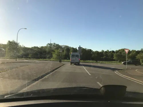
Indoor Spielpark Kids-World
Playground · 3.0 km
Kinder- und Freizeitzentrum
199 Saarwellinger Straße, Saarlouis




Sonnenbad Steinrausch
Sports field and stadium · 2.7 km
131 Kurt-Schumacher-Allee, Saarlouis
19 more on the map.
Restaurants and cafes240
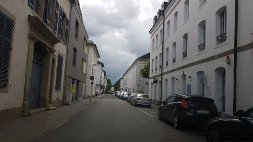
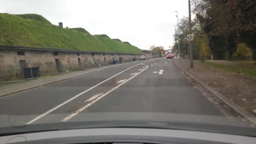
Davy's Pinsa
Restaurant · Italian
36 Kasemattenhof, Saarlouis
Mo off; Tu-Th,Su 17:00-22:00; Fr,Sa 17:00-23:00
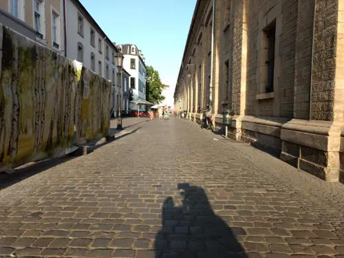
Hans im Glück
Restaurant · Burger
16 Alte-Brauerei-Straße, Saarlouis
Su-Th 12:00-22:00; Fr,Sa 12:00-23:00
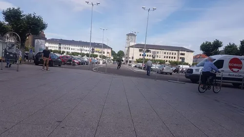
Bäckerei Welling
Bakery
7 Französische Straße, Saarlouis
Mo-Fr 06:30-18:00; Sa 07:00-18:00; PH,Su 08:30-18:00
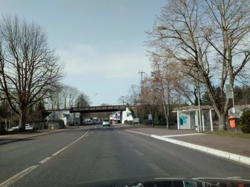
Gudd Gess
Restaurant · German · 1.9 km
4 Saarlouiser Straße, Ensdorf/Saar
Mo off; Tu 11:30-15:00,17:30-22:00; We 11:30-15:00; Th...
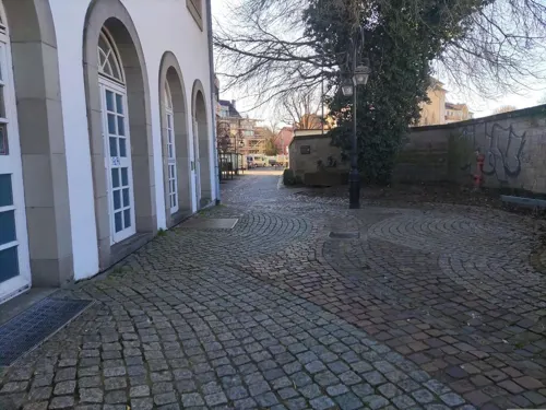
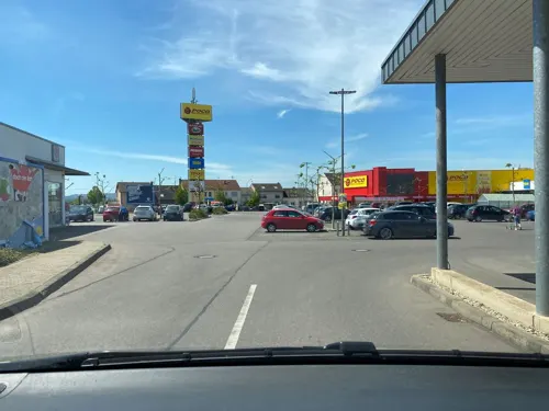
Wasgau Bäckerei
Bakery · 1.9 km
91E Saarbrücker Straße, Saarlouis
Mo-Sa 07:00-20:00; Su 08:00-11:00; PH off


Delphi - Bastion VI
Restaurant
6 Anton-Merziger-Ring, Saarlouis
Mo,We-Su 12:00-14:30,18:00-23:00; Tu closed
228 more on the map.
History
With the Treaties of Peace of Nijmegen in 1678/79, Lorraine fell to France. In 1680, Louis XIV of France gave orders to build a fortification (to defend the new French eastern frontier) on the banks of the river Saar which was called Sarre-Louis. Notable French military engineer, Sébastien Le Prestre de Vauban, constructed the town, which would serve as the capital of the Province de la Sarre. The plans were made by Thomas de Choisy, the town's first Gouvenour. In 1683, Louis XIV visited the fortress and granted arms. The coat of arms shows the rising sun and three Fleur-de-lis. The heraldic motto is Dissipat Atque Fovet: He (the Sun) dispels (the clouds) and heats (the earth).
In 1697, the Treaty of Ryswick made most parts of Lorraine independent again, but Saarlouis and the surrounding areas remained a French exclave. During the French Revolution, the town was renamed Sarre-Libre, but it returned to its original name in 1810. With the Treaty of Paris in 1815, Saarlouis (and the whole region later known as the Saargebiet) became Prussian.
Read more of the history
Marshal Michel Ney, who was born in Saarlouis, was arrested and tried for treason after the failure of Napoleon I's Waterloo Campaign. Ney's attorney tried to use the Prussian annexation to save his client's life, arguing that Ney was no longer a French citizen and therefore exempt from the court's jurisdiction. Ney refused to cooperate, declaring himself to be French, and so was convicted and later executed.
After World War I, French troops occupied Saarlouis. The Saargebiet became a protectorate of the League of Nations for 15 years. In 1933, a considerable number of anti-Nazi Germans fled to the Saar, as it was the only part of Germany left outside the Third Reich's control. As a result, anti-Nazi groups campaigned heavily for the Saarland to remain under control of League of Nations as long as Adolf Hitler ruled Germany. However, long-held sentiments against France remained entrenched, and very few sympathized openly with France. When the 15-year-term was over, a plebiscite was held in the territory on 13 January 1935: 90.3% of those voting wished to rejoin Germany.
From 1936 till 1945, Saarlouis was named as Saarlautern (-lautern being a common ending of town and village names in Germany) in an attempt by the Nazis to Germanise the town name.
After World War II, the region (then called the Saarland), was again occupied by France. In a plebiscite in 1955, most of the people in the Saarland opted for the reunification with the Federal Republic of Germany, and on 1 January 1957, it became the 10th federal state of West Germany.
From the History section of Saarlouis on Wikipedia, under CC BY-SA 4.0.
More about Saarlouis
Economy
Saarlouis was famous for its nearby steel and iron ore production and its nearby mining facilities. Today, the Ford Motor Company's Saarlouis Body & Assembly is the town's largest employer, producing the Ford Focus. The plant in the Roederberg suburb opened in 1970, but in 2022 is threatened with closure when the Ford Focus production cycle runs out in 2025.
The industrial port in Saarlouis-Roden is Germany's 13th largest inland port. Saarlouis is also a manufacturer of chocolate.
From the Wikipedia article Saarlouis, under CC BY-SA 4.0.
Notable people from Saarlouis
 Michel NeyFrench general (1769–1815)Photo: François Gérard, Public domain
 Heiko MaasGerman lobbyist and former politician (SPD)Photo: Dominik Butzmann / re:publica, CC BY-SA 2.0
 Oskar LafontaineGerman politicianPhoto: Sandro Halank , Wikimedia Commons, CC BY-SA 3.0
 Paul von Lettow-VorbeckGerman army officer (1870-1964)Photo: Photoatelier Hermann Noack, Berlin;..., Public domain
 Esther BejaranoGerman concentration camp survivor (1924-2021)Photo: Sven Teschke, CC BY-SA 3.0 de
 Eduard von KnorrGerman admiral (1840–1920)Photo: Freeman Studio, Public domain
 Paul GrenierFrench general (1768–1827)Photo: Ambroise Tardieu (directeur de..., Public domain
 Christian LangeGerman jurist and politicianPhoto: Leon Hahn, CC BY-SA 3.0 de
 Hubert NeyGerman politician (1892-1984)Photo: Harry Pot for Anefo Crop: Groupsixty, CC0
 Charles-Nicolas PeaucellierFrench general (1832-1913)Photo: Lokilech, CC BY-SA 3.0
- Florian MüllerGerman association football player, born 1997
- Heinrich Marxlawyer and father of Karl Marx (1777–1838)
Born in Saarlouis, according to Wikidata (CC0). Each name links to its Wikipedia article.
Where to stay15
Churches and places of worship26
Shopping54
Gas and EV charging18
bike-energy Ladestation
EV charging · 4.5 km
14 Wallerfanger Straße, Dillingen/Saar
Schools, colleges and libraries34
Healthcare24
Map of Saarlouis
250 places. The map loads OpenStreetMap tiles when you open it.
Getting there and nearby towns
Saarbrücken Airport (SCN) is the nearest airport with scheduled flights listed in OpenStreetMap, 28 km away.
- Ensdorf 3 km southeast, about 3 min by car
- Wallerfangen 3 km northwest, about 3 min by car
- Dillingen 5 km north, about 5 min by car
- Schwalbach 5 km east, about 5 min by car
- Bous 5 km southeast, about 5 min by car
- Wadgassen 6 km southeast, about 6 min by car
- Saarwellingen 6 km northeast, about 6 min by car
- Nalbach 8 km north, about 8 min by car
- Überherrn 9 km southwest, about 9 min by car
- Völklingen 10 km southeast, about 10 min by car
Drive times are estimates from straight-line distance, not routes.
Towns near Saarlouis


Keep exploring
Local news
Headlines from INDB.
Reviews, tips and questions
Loading what members have shared...
Sources and licences
- GeoNames (CC BY 4.0): population, coordinates, regions and time zone
- Mapillary (see each image): photos
- OpenStreetMap contributors (ODbL 1.0): places, airports, map data
- Wikidata (CC0 1.0): elevation, founding date, time zone, website, landmarks and historic places
- Wikimedia Commons (see each image): photos
- Wikipedia (CC BY-SA 4.0): overview and history text
Photo credits
- RathausSaarlouis, Kolling at German Wikipedia, CC BY-SA 3.0
- Saarlouis, shop in 12 Weißkreuzstraße, Dguendel, CC BY 3.0
- Saarlouis, die Gaststätte "Zum Humpen", Dguendel, CC BY 3.0
- Saarlouis, die Alte-Brauerei-Straße, Dguendel, CC BY 3.0
- Saarlouis, shop in 8 Weißkreuzstraße, Dguendel, CC BY 3.0
- Saarlouis, a raw of houses on the street "Weißkreuzstraße", Dguendel, CC BY 3.0
- Saarlouis, a raw of houses on the street "Sonnenstraße", Dguendel, CC BY 3.0
- Saarlouis, a raw of houses on the street "Sonnenstraße", image 2, Dguendel, CC BY 3.0
- Saarlouis, das Restaurant "Kartoffelhaus", Dguendel, CC BY 3.0
- Saarlouis, a raw of houses on the street "Weißkreuzstraße", image 2, Dguendel, CC BY 3.0
- Saarlouis, the northeastern part of the Sonnenstraße, Dguendel, CC BY 3.0
- Saarlouis, die Bierstraße, Dguendel, CC BY 3.0
- Theater am Ring Saarlouis 001, Sebastian Wallroth, CC BY 4.0
- Stadtmuseum Saarlouis 10, LoKiLeCh, CC BY-SA 4.0
- Stadtmuseum Saarlouis 13, LoKiLeCh, CC BY-SA 4.0
- Stadtmuseum Saarlouis 12, LoKiLeCh, CC BY-SA 4.0
- Stadtmuseum Saarlouis 11, LoKiLeCh, CC BY-SA 4.0
- Stadtmuseum Saarlouis 22 38 02 763000, Sebastian Wallroth, CC BY 4.0
- Saarlouis, Alte-Brauerei-Straße, Dguendel, CC BY 3.0
- Stadtmuseum Saarlouis 22 38 39 373000, Sebastian Wallroth, CC BY 4.0
- Saarlouis, die Sonnenstraße, Dguendel, CC BY 3.0
- Saarlouis Sonnenstrasse 092, Jacquesverlaeken, CC BY-SA 4.0
- Saarlouis Bierstrasse 11 094, Jacquesverlaeken, CC BY-SA 4.0
- Saarlouis, der Kleine Markt, Dguendel, CC BY 3.0
- 7ter Himmel - Altstadt Saarlouis, Wolfgang Staudt from Saarbruecken, Germany, CC BY 2.0
- Saarlouis, die Lothringer Straße, Dguendel, CC BY 3.0
- Theater am Ring Saarlouis 001 22 25 56 674000, Sebastian Wallroth, CC BY 4.0
- Theater am Ring Saarlouis 001 22 29 28 455000, Sebastian Wallroth, CC BY 4.0
- Saarlouis, auf dem Kleinen Markt, Dguendel, CC BY 3.0
- Saarlouis, the Avie Saar pharmacy on the Lothringer Straße, Dguendel, CC BY 3.0
- Stadtmuseum Saarlouis 22 37 01 546000, Sebastian Wallroth, CC BY 4.0
- Stadtmuseum Saarlouis 22 37 33 734000, Sebastian Wallroth, CC BY 4.0
- Stadtmuseum Saarlouis 22 36 30 761000, Sebastian Wallroth, CC BY 4.0
- Saarlouis, Häuserzeile in der Alte-Brauerei-Straße, Dguendel, CC BY 3.0
- Saarlouis, the square "Kleiner Markt", Dguendel, CC BY 3.0
- Saarlouis kleiner Markt Pano (3), LoKiLeCh, CC BY-SA 4.0
- Saarlouis kleiner Markt Pano (2), LoKiLeCh, CC BY-SA 4.0
- Saarlouis, the middle part of the Karcherstraße, Dguendel, CC BY 3.0
- Saarpolygon 2024, Jörg Braukmann, CC BY-SA 4.0
- Saarlouis Haus Ludwig, -- Xocolatl ( talk ) 14:14, 11 April 2010 (UTC), Public domain
- DillingenSaarL1100566 (2), Oktobersonne, CC BY-SA 4.0
- Saarlouis Alter Friedhof (8), LoKiLeCh, CC BY-SA 3.0
- Dillingen Altes Schloss1, User Kolling on de.wikipedia, CC BY-SA 3.0
- Saarlouis, the church of the Peter brotherhood society, Dguendel, CC BY 3.0
- DillingenSchwedenkreuz-2, Lokilech, CC BY-SA 3.0
- Saarlouis Evangelische Kirche Innen 01, atreyu, CC BY-SA 3.0
- SLS RobertSchumanGymnasium, Phrontis, CC BY-SA 3.0
- GymnasiumamStadtgarten(Saarlouis)L1030562 (2), Oktobersonne, CC BY-SA 4.0
- Lisdorf Crispinus und Crispinianus (5), LoKiLeCh, CC BY-SA 3.0
- Saarlouis Gatterstraße Jüdischer Friedhof, LoKiLeCh, CC BY-SA 3.0
- SLS MaxPlanckGymnasium, Phrontis, CC BY-SA 3.0
- EnsdorfKirche, Lokilech, CC BY-SA 3.0
- Fraulautern Friedhofskapelle (11), LoKiLeCh, CC BY-SA 3.0
- Fraulautern Kirche pano, Lokilech, CC BY-SA 3.0
- MariaHimmelfahrtRodenL1020676 (3), Oktobersonne, CC BY-SA 4.0
- Steinrausch St Johann (1), LoKiLeCh, CC BY-SA 3.0
- StJosefFraulautern, Matthwiki ( Diskussion ) 22:04, 23. Jun. 2013 (CEST), CC BY-SA 3.0 de
- Beaumarais Baudenkmal (13), LoKiLeCh, CC BY-SA 3.0
- Wallerfangen Louisenstraße 3, LoKiLeCh, CC BY-SA 3.0
- SaarlouisTheateramRingDSCF7436, Oktobersonne, CC BY-SA 4.0
- Taffingstal 2 40 Fl, Biadopia, CC0
- BastionVI albrecht saarlouis 2018-08-21 (4), Z thomas, CC BY-SA 4.0
- DillingenGrabmalDefrance, Lokilech, CC BY-SA 3.0
- DillingenKreuzPeterHillen, Lokilech, CC BY-SA 3.0
- SanktLudwigSaarlouis, Fjrei F.J. Reichert, CC BY-SA 3.0
- Römerkastell Contiomagus Pachten Dillingen Saarland, Amber16, CC BY-SA 4.0
- Street-level photo, lokilech, CC BY-SA 4.0
- Street-level photo, teddy73, CC BY-SA 4.0
- Street-level photo, teddy73, CC BY-SA 4.0
- Street-level photo, locus57, CC BY-SA 4.0
- Street-level photo, changchun1, CC BY-SA 4.0
- Street-level photo, lokilech, CC BY-SA 4.0
- Street-level photo, elton4711, CC BY-SA 4.0
- Street-level photo, elton4711, CC BY-SA 4.0
- Street-level photo, elton4711, CC BY-SA 4.0
- Street-level photo, elton4711, CC BY-SA 4.0
- Street-level photo, teddy73, CC BY-SA 4.0
- Street-level photo, miguel_andrade, CC BY-SA 4.0
- Street-level photo, lokilech, CC BY-SA 4.0
- Street-level photo, lokilech, CC BY-SA 4.0
- Street-level photo, lokilech, CC BY-SA 4.0
- Street-level photo, reisender, CC BY-SA 4.0
- Street-level photo, miguel_andrade, CC BY-SA 4.0
- Street-level photo, teddy73, CC BY-SA 4.0
- Street-level photo, lokilech, CC BY-SA 4.0
- Street-level photo, lokilech, CC BY-SA 4.0
- Street-level photo, teddy73, CC BY-SA 4.0
- Street-level photo, teddy73, CC BY-SA 4.0
- Street-level photo, teddy73, CC BY-SA 4.0
- Street-level photo, elton4711, CC BY-SA 4.0
- Street-level photo, elton4711, CC BY-SA 4.0
- Street-level photo, lokilech, CC BY-SA 4.0
- Street-level photo, lokilech, CC BY-SA 4.0


Page built November 9, 2026. Spotted a mistake? Tell us or suggest a place.