


Why visit Echzell
Townapedia lists 21 museums and landmarks, 22 parks and trails, 48 places to eat, 7 places to stay and 17 attractions in and around town.
Highlights include Eichelberg, Lochberg, Energiemuseum and Horloff-Brücke.
Weather in Echzell
Forecast from MET Norway (CC BY 4.0). Full forecast
About Echzell
Echzell (German pronunciation: [ˈɛçtsɛl]) is a municipality in the Wetteraukreis district, in the Hesse state of Germany. It is located approximately 35 kilometers northeast of Frankfurt am Main.
From the Wikipedia article Echzell (this version), under CC BY-SA 4.0.
Things to do17



5 more on the map.
Museums and landmarks21

Energiemuseum
Museum · 5.0 km
11 Seestraße, Wölfersheim
Su[1],Su[3] 14:00-17:00
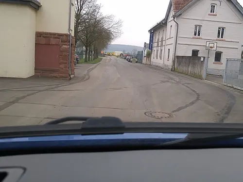


Hexenturm
Monument and historic site · 3.6 km
Alter Steinturm der Reichelsheimer Stadtbefestigung, der in der Zeit der Hexenverfolgung als Gefängnis diente.
14 Turmgasse, Reichelsheim (Wetterau)

Storchenturm mit Stadttor
Monument and historic site · 3.8 km
Alter Wehrturm der Stadtbefestigung mit erhaltenem Stadttor und einem Stück Stadtmauer.
22 Untere Haingasse, Reichelsheim


Wasserturm Berstadt
Monument and historic site · 4.5 km
14 Licher Straße, Wölfersheim
Wehrturm
Monument and historic site · 3.9 km
Südlicher Wehrturm der ehemaligen Reichelsheimer Stadtbefestigung

9 more on the map.
Parks, trails and playgrounds22

Kleinkastell Lochberg
Hiking and trails · 3.2 km
Ehemaliges Römisches Kastell auf dem Lochberg





Teufelsee und Pfaffensee zwischen Echzell und Reichelsheim-Weckesheim
Hiking and trails · 2.6 km


10 more on the map.
Restaurants and cafes48
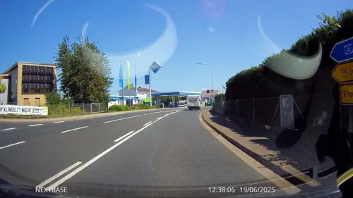
Il Cappuccino
Restaurant · Italian · 5.0 km
2 Hauptstraße, Wölfersheim
Mo-Fr 11:30-14:30,17:30-24:00; Sa,Su 11:30-14:30,17:30-24:00
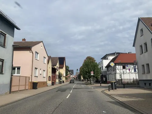
Restaurant Pizzeria Adria
Restaurant · Italian, Pizza
53 Hauptstraße, Echzell
11:30-14:30,17:30-23:00; Tu off
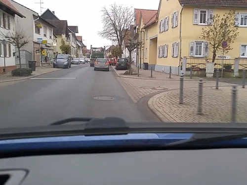
Weinscheune Echzell
Restaurant · German
184 Hauptstraße, Echzell
Mo off; Tu-Sa 18:00-23:59, We-Su 00:00-01:00, Su 11:00-14:00,18:00-23:00
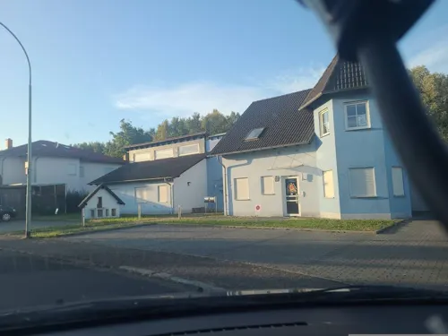
Bistro Cockpit
Bar and pub · 2.9 km
12 Im Mühlahl, Reichelsheim
Mo-Th 17:00-23:00; Fr,Sa 17:00-23:59; Su 17:00-23:00; Sa,Su 00:00-01:00



Hinnerbäcker
Bakery · 5.4 km
Mo-Fr 06:00-18:00; Sa 06:00-13:00; Su 07:00-11:00
36 more on the map.
Where to stay7
Churches and places of worship13
Evangelische Kirche Weckesheim
Church · Protestant · 4.2 km
5 Sommerbachstraße, Reichelsheim (Wetterau)
Evangelische Kirche Berstadt
Church · Lutheran · 4.5 km
20 Licher Straße, Wölfersheim
Evangelische kirche Melbach
Church · Lutheran · 5.5 km
31 Große Gasse, Wölfersheim
Neuapostolische Kirche Echzell-Bingenheim
Church · New Apostolic · 1.8 km
1 Bergstraße, Echzell
Shopping10
Gas and EV charging5
Schools, colleges and libraries7
Förderschule auf waldorfpädagogischer Grundlage in der Lebensgemeinschaft Bingenheim
School · 1.8 km
9 Schloßstraße, Echzell
Healthcare3
Map of Echzell
153 places. The map loads OpenStreetMap tiles when you open it.
Getting there and nearby towns
Frankfurt Airport (FRA) is the nearest airport with scheduled flights listed in OpenStreetMap, 47 km away.
- Reichelsheim 4 km south, about 4 min by car
- Wölfersheim 5 km west, about 5 min by car
- Ranstadt 8 km southeast, about 8 min by car
- Nidda 9 km east, about 9 min by car
- Bad Nauheim 11 km west, about 11 min by car
- Friedberg 11 km southwest, about 11 min by car
- Münzenberg 11 km northwest, about 11 min by car
- Altenstadt 12 km south, about 12 min by car
- Ortenberg 13 km east, about 13 min by car
- Ober-Mörlen 14 km west, about 14 min by car
Drive times are estimates from straight-line distance, not routes.
Local news
Headlines from INDB.
Reviews, tips and questions
Loading what members have shared...
Sources and licences
- GeoNames (CC BY 4.0): population, coordinates, regions and time zone
- Mapillary (see each image): photos
- OpenStreetMap contributors (ODbL 1.0): places, airports, map data
- Wikidata (CC0 1.0): elevation, founding date, time zone, website
- Wikimedia Commons (see each image): photos
- Wikipedia (CC BY-SA 4.0): overview and history text
Photo credits
- Evangelische Kirche (Echzell) 11, Cherubino, CC BY-SA 4.0
- Bäckergasse 11 (Echzell) 02, Cherubino, CC BY-SA 4.0
- Bäckergasse 11 (Echzell) 01, Cherubino, CC BY-SA 4.0
- Hauptstraße nach Süden (Echzell) 03, Cherubino, CC BY-SA 4.0
- Hauptstraße nach Süden (Echzell) 02, Cherubino, CC BY-SA 4.0
- Bahnhofstraße 13 (Echzell) 05, Cherubino, CC BY-SA 4.0
- Bahnhofstraße 13 (Echzell) 06, Cherubino, CC BY-SA 4.0
- Heilig Kreuz (Echzell) Außen 04, Cherubino, CC BY-SA 4.0
- Heilig Kreuz (Echzell) Außen 03, Cherubino, CC BY-SA 4.0
- Bahnhofstraße 13 (Echzell) 03, Cherubino, CC BY-SA 4.0
- Bahnhofstraße 13 (Echzell) 07, Cherubino, CC BY-SA 4.0
- Bahnhofstraße 13 (Echzell) 04, Cherubino, CC BY-SA 4.0
- Heilig Kreuz (Echzell) Außen 05, Cherubino, CC BY-SA 4.0
- Heilig Kreuz (Echzell) Außen 01, Cherubino, CC BY-SA 4.0
- Bahnhofstraße 6 (Echzell) 07, Cherubino, CC BY-SA 4.0
- Heilig Kreuz (Echzell) Außen 07, Cherubino, CC BY-SA 4.0
- Heilig Kreuz (Echzell) Außen 06, Cherubino, CC BY-SA 4.0
- Heilig Kreuz (Echzell) Außen 02, Cherubino, CC BY-SA 4.0
- Heilig Kreuz (Echzell) Außen 09, Cherubino, CC BY-SA 4.0
- Hauptstraße 95 (Echzell) 06, Cherubino, CC BY-SA 4.0
- Hauptstraße nach Norden (Echzell) 03, Cherubino, CC BY-SA 4.0
- Hauptstraße 95 (Echzell) 07, Cherubino, CC BY-SA 4.0
- Lindenstraße 3 (Echzell) 02, Cherubino, CC BY-SA 4.0
- Heilig Kreuz (Echzell) Außen 08, Cherubino, CC BY-SA 4.0
- Bahnhofstraße 13 (Echzell) 02, Cherubino, CC BY-SA 4.0
- Lindenstraße 3 (Echzell) 03, Cherubino, CC BY-SA 4.0
- Bahnhofstraße 13 (Echzell) 01, Cherubino, CC BY-SA 4.0
- Hauptstraße 95 (Echzell) 05, Cherubino, CC BY-SA 4.0
- Lindenstraße 3 (Echzell) 10, Cherubino, CC BY-SA 4.0
- Bahnhofstraße 13 (Echzell) 08, Cherubino, CC BY-SA 4.0
- Evangelische Kirche (Echzell) 07, Cherubino, CC BY-SA 4.0
- Bahnhofstraße 6 (Echzell) 03, Cherubino, CC BY-SA 4.0
- Bahnhofstraße 6 (Echzell) 02, Cherubino, CC BY-SA 4.0
- Lindenstraße 3 (Echzell) 07, Cherubino, CC BY-SA 4.0
- Evangelische Kirche (Echzell) 04, Cherubino, CC BY-SA 4.0
- Bahnhofstraße 6 (Echzell) 01, Cherubino, CC BY-SA 4.0
- Heimatmuseum Echzell, Haselburg-müller, CC BY-SA 3.0
- Evangelische Kirche (Echzell) 03, Cherubino, CC BY-SA 4.0
- Bahnhofstraße 6 (Echzell) 04, Cherubino, CC BY-SA 4.0
- Südliche Hauptstraße (Echzell) 01, Cherubino, CC BY-SA 4.0
- Schwarzer Turm Wölfersheim 3, Nils E., Public domain
- Ev. ref. Kirche Wölfersheim 2, Nils E., Public domain
- Kleinkastell Lochberg, Haselburg-müller, CC BY-SA 3.0
- Schloss Bingenheim04, Haselburg-müller, CC BY-SA 3.0
- Weißer Turm in Wölfersheim, Nils E., Public domain
- Echzeller Schloss 02, Commander-pirx, CC BY-SA 3.0
- Bingenheimer Ried, Mocambotango, CC BY-SA 4.0
- Ev. Kirche Melbach, Nils E., Public domain
- Naturschutzgebiet Burg bei Unter-Widdersheim (5), Cherubino, CC BY-SA 4.0
- Naturschutzgebiet Kist von Berstadt 04, Cherubino, CC BY-SA 4.0
- NSG Mittlere Horloffaue (16), Cherubino, CC BY-SA 4.0
- K1600 552B3654 1, Snirgeldasch, CC BY-SA 4.0
- Umspannwerk des ehem. Braunkohlekraftwerkes Wölfersheim 01, Cherubino, CC BY-SA 4.0
- Evangelische Kirche (Bingenheim) 06, Cherubino, CC BY-SA 4.0
- Evangelische Kirche (Echzell) 01 a, Cherubino, CC BY-SA 4.0
- Evangelische Kirche (Gettenau) 06, Cherubino, CC BY-SA 4.0
- Ev. Kirche Berstadt (1), Nils E., Public domain
- Narrenturm in Wölfersheim (2), Nils E., Public domain
- Wasserturm Wölfersheim-Berstadt (1), Nils E., Public domain
- Kirsche am Eichelberg (Blofeld) 11, Cherubino, CC BY-SA 3.0
- Ranstadt Dauernheim Am Faulenberg bei Dauernheim NR 162149 Peak Oct 2022 W small, UuMUfQ, CC BY-SA 4.0
- Street-level photo, tasmaniadevil, CC BY-SA 4.0
- Street-level photo, scg1176, CC BY-SA 4.0
- Street-level photo, scg1176, CC BY-SA 4.0
- Street-level photo, derlipper, CC BY-SA 4.0
- Street-level photo, Planungsgesellschaft_RV-K, CC BY-SA 4.0
- Street-level photo, scg1176, CC BY-SA 4.0
- Street-level photo, scg1176, CC BY-SA 4.0
- Street-level photo, Planungsgesellschaft_RV-K, CC BY-SA 4.0
- Street-level photo, lllooommm, CC BY-SA 4.0
- Street-level photo, scg1176, CC BY-SA 4.0
- Street-level photo, scg1176, CC BY-SA 4.0
- Street-level photo, scg1176, CC BY-SA 4.0
- Street-level photo, troher15, CC BY-SA 4.0
- Street-level photo, scg1176, CC BY-SA 4.0
- Street-level photo, Planungsgesellschaft_RV-K, CC BY-SA 4.0
- Street-level photo, tasmaniadevil, CC BY-SA 4.0
- Street-level photo, troher15, CC BY-SA 4.0
- Street-level photo, scg1176, CC BY-SA 4.0
- Street-level photo, scg1176, CC BY-SA 4.0
- Street-level photo, scg1176, CC BY-SA 4.0
- Street-level photo, troher15, CC BY-SA 4.0
- Street-level photo, grinninghamster, CC BY-SA 4.0
- Street-level photo, lllooommm, CC BY-SA 4.0
- Street-level photo, lllooommm, CC BY-SA 4.0
- Street-level photo, tasmaniadevil, CC BY-SA 4.0
- Street-level photo, tasmaniadevil, CC BY-SA 4.0
- Street-level photo, Planungsgesellschaft_RV-K, CC BY-SA 4.0
- Street-level photo, troher15, CC BY-SA 4.0
- Street-level photo, derlipper, CC BY-SA 4.0
- Street-level photo, Planungsgesellschaft_RV-K, CC BY-SA 4.0


Page built November 9, 2026. Spotted a mistake? Tell us or suggest a place.