


Why visit Ober-Mörlen
Townapedia lists 170 museums and landmarks, 52 parks and trails, 188 places to eat, 20 places to stay and 32 attractions in and around town.
Highlights include Hoffreunde, Gerhardsköppel, Rosenmuseum and Ehem. Kraftfahrzeughalle (FHQ Adlerhorst).
Weather in Ober-Mörlen
Forecast from MET Norway (CC BY 4.0). Full forecast
About Ober-Mörlen
Ober-Mörlen (German pronunciation: [ˈoːbɐ ˈmœʁlən], lit. 'Upper Mörlen', in contrast to "Lower Mörlen") is a municipality in the Wetteraukreis, in Hesse, Germany. It is located approximately 29 kilometers north of Frankfurt am Main.
From the Wikipedia article Ober-Mörlen (this version), under CC BY-SA 4.0.
Things to do32
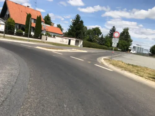
Hoffreunde
Farm and orchard · 5.1 km
Produkte von Höfen der Umgebung. Backwaren, diversem saisonalen Obst + Beeren + Gemüse, Molkereiprodukte, Fleisch + Wurst, und haltbarem...
1 Am Seefeld, Butzbach
Mo-Fr 06:30-19:00; Sa 07:30-15:00



Hartmann Hofladen
Farm and orchard · 4.6 km
103 Friedberger Straße, Bad Nauheim
Mo-Sa 08:30-12:00, 16:00 - 18:30



20 more on the map.
Museums and landmarks170
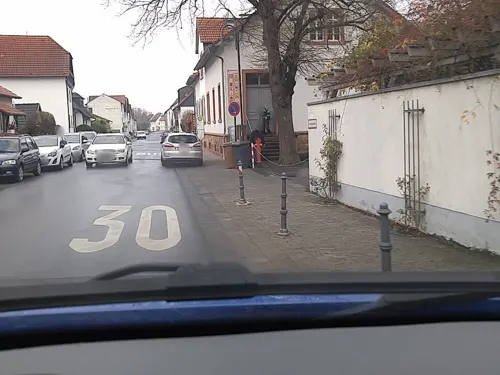
Rosenmuseum
Museum · 5.0 km
1 Alte Schulstraße, Bad Nauheim
Mar,Apr,Nov: Tu-Sa 14:00-17:00; May-Oct: Tu-Sa 11:00-18:00;...

Ehem. Kraftfahrzeughalle (FHQ Adlerhorst)
Monument and historic site · 4.4 km
The largest building in the Adlerhorst complex was called the Kraftfahrzeughalle (Motor Pool Garage). It housed the armoured Mercedes...
114 Usinger Straße, Ober-Mörlen
Gutshof (FHQ Adlerhorst)
Monument and historic site · 4.7 km
The building on the Schloßstraße was intended for residential accommodation, the south-west adjoining building is a garage wing. When...
12 Schloßstraße, Ober-Mörlen
Bunkerhaus VII (ehem. FHQ Adlerhorst)
Monument and historic site · 4.7 km
Haus VII, was known as the “Wachhaus” and was the largest of the seven. It housed Hitler’s adjutants, bodyguards, personal secretaries...

Schloss Ziegenberg
Monument and historic site · 4.7 km
1 Am Schloßberg, Ober-Mörlen

Hausberg
Monument and historic site · 6.8 km
Mountain in Hesse, Germany




Maschinenzentrale
Monument and historic site · 4.3 km
5 Am Goldstein, Bad Nauheim
Reinhardsschlösschen
Monument and historic site · 3.4 km
15 Reinhardstraße, Bad Nauheim
Römerturm am Gaulskopf
Monument and historic site · 5.1 km
Nachgebaut (1926 eingeweiht)
158 more on the map.
Parks, trails and playgrounds52


Breitwiese bei Steinfurth und Oppershofen
Hiking and trails · 5.0 km





Gesundheitsgarten
Park · 4.0 km
Mar-Apr: 10:00-18:00; May-Aug: 09:00-21:00; Sep: 09:00-19:00; Oct...

Spielplatz Kettelerstraße
Playground · 3.1 km
May-Sep 08:00-21:00, Oct-Apr 08:00-19:00

40 more on the map.
Restaurants and cafes188
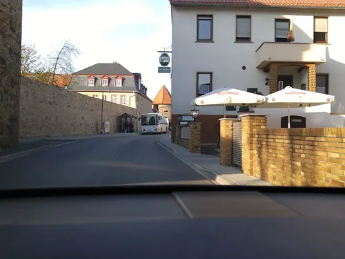
Zum Gerippte
Restaurant · Buschenschank · 5.1 km
Erste Ockstädter Straußwirtschaft. Selbstgemachter Apfelwein, hauseigene Obstbrände.
30 Borngasse, Friedberg (Hessen)
May-Oct: Fr,Sa,Su 17:00+
China-Restaurant Jade
Restaurant · Chinese · 4.0 km
6 Bahnhofsallee, Bad Nauheim
Tu-Fr 11:30-15:00,17:30-22:00; Sa,Su,PH 11:30-22:00; Mo off

Da Davide
Restaurant · Pizza, Italian · 3.7 km
17 In den Kolonnaden, Bad Nauheim
Tu-Su 11:30-14:30, 17:30-23:00; Mo off

El Sol
Restaurant · Spanish, Italian · 4.3 km
71 Schwalheimer Straße, Bad Nauheim
We-Mo,PH 11:30-14:30,17:30-23:00
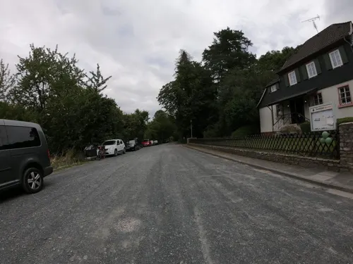
Forsthaus Winterstein
Restaurant · 4.2 km
Öffnungszeiten sind unverbindlich weil witterungsabhängig.
Wintersteinstraße, Ober-Mörlen
Fr,Sa 14:30-19:00; Su 11:30-19:00
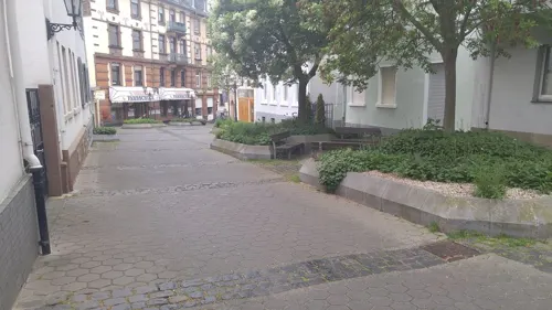
Little Seoul
Restaurant · Korean · 3.5 km
18 Stresemannstraße, Bad Nauheim
Mo-Fr 11:30-19:00;Sa 11:30-18:00
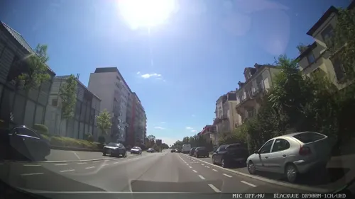
Miso
Restaurant · Sushi · 4.2 km
18 Frankfurter Straße, Bad Nauheim
Mo-Sa 11:30-22:30; PH,Su 15:00-22:30
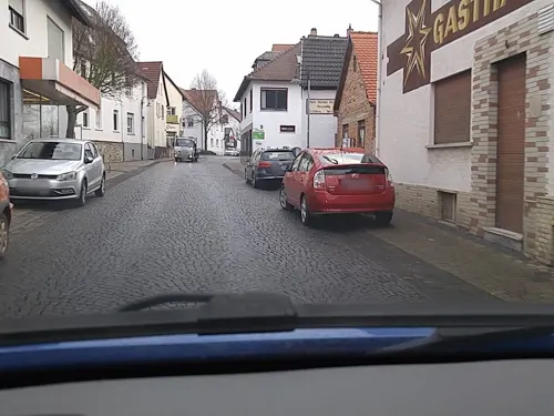
Rote Pumpe Straußwirtschaft
Bar and pub · Regional · 2.3 km
6 Nieder-Mörler-Straße, Bad Nauheim
Tu-Sa 16:00-22:00; Su,PH 13:00-22:00
Zeitgeist
Restaurant · Regional · 3.5 km
16 Nördlicher Park, Bad Nauheim
We-Sa 12:00-14:30, 17:30-22:00, Su 11:00-15:00, 17:00-20:00


176 more on the map.
Where to stay20
Churches and places of worship27
Evangelische Pfarrkirche
Church · Lutheran · 3.6 km
1 Fauerbacher Straße, Ober-Mörlen
Reinhardskirche
Church · Russian Orthodox · 3.4 km
14 Reinhardstraße, Bad Nauheim
Wilhelmskirche
Church · Protestant · 3.5 km
12 Wilhelmstraße, Bad Nauheim
Bonifatiuskirche
Church · Roman Catholic · 3.9 km
13 Zanderstraße, Bad Nauheim
Shopping30
Gas and EV charging13
Tankcenter Nieder-Mörlen
Gas station · 2.8 km
245 Frankfurter Straße, Bad Nauheim
Schools, colleges and libraries24
Healthcare22
Map of Ober-Mörlen
250 places. The map loads OpenStreetMap tiles when you open it.
Getting there and nearby towns
Frankfurt Airport (FRA) is the nearest airport with scheduled flights listed in OpenStreetMap, 40 km away.
- Bad Nauheim 4 km east, about 4 min by car
- Friedberg 6 km southeast, about 6 min by car
- Butzbach 7 km north, about 7 min by car
- Rosbach vor der Höhe 8 km south, about 8 min by car
- Wölfersheim 9 km east, about 9 min by car
- Usingen 12 km west, about 12 min by car
- Wehrheim 12 km southwest, about 12 min by car
- Reichelsheim 13 km east, about 13 min by car
- Friedrichsdorf 14 km south, about 14 min by car
- Langgöns 14 km north, about 14 min by car
Drive times are estimates from straight-line distance, not routes.
Local news
Headlines from INDB.
Reviews, tips and questions
Loading what members have shared...
Sources and licences
- GeoNames (CC BY 4.0): population, coordinates, regions and time zone
- Mapillary (see each image): photos
- OpenStreetMap contributors (ODbL 1.0): places, airports, map data
- Wikidata (CC0 1.0): elevation, founding date, time zone, website, landmarks and historic places
- Wikimedia Commons (see each image): photos
- Wikipedia (CC BY-SA 4.0): overview and history text
Photo credits
- Ober-Mörlen, Frankfurter Strasse 22 und 24, Karsten Ratzke, CC0
- Neugasse 13 (Ober-Mörlen) 01, Cherubino, CC BY-SA 4.0
- Neugasse 13 (Ober-Mörlen) 03, Cherubino, CC BY-SA 4.0
- Neugasse (Ober-Mörlen) 01, Cherubino, CC BY-SA 4.0
- Neugasse (Ober-Mörlen) 02, Cherubino, CC BY-SA 4.0
- Neugasse 13 (Ober-Mörlen) 02, Cherubino, CC BY-SA 4.0
- Neugasse 13 (Ober-Mörlen) 04, Cherubino, CC BY-SA 4.0
- Neugasse 13 (Ober-Mörlen) 05, Cherubino, CC BY-SA 4.0
- Belsgasse 1 (Ober-Mörlen) 01, Cherubino, CC BY-SA 4.0
- Ober-Mörlen Pfarrhof in 2016 550, Jacquesverlaeken, CC BY-SA 4.0
- Katholische Kirche Ober-Mörlen 02, Cherubino, CC BY-SA 4.0
- Katholische Kirche Ober-Mörlen 03, Cherubino, CC BY-SA 4.0
- Elisabethenstraße 3 (Ober-Mörlen) 01, Cherubino, CC BY-SA 4.0
- Pfarrhof (Ober-Mörlen) 01, Cherubino, CC BY-SA 4.0
- Pfarrhof (Ober-Mörlen) 02, Cherubino, CC BY-SA 4.0
- Elisabethenstraße 3 (Ober-Mörlen) 05, Cherubino, CC BY-SA 4.0
- Elisabethenstraße 3 (Ober-Mörlen) 04, Cherubino, CC BY-SA 4.0
- Elisabethenstraße 3 (Ober-Mörlen) 03, Cherubino, CC BY-SA 4.0
- Elisabethenstraße 3 (Ober-Mörlen) 02, Cherubino, CC BY-SA 4.0
- Ober-Mörlen, Frankfurter Straße 46, Karsten Ratzke, CC0
- Katholische Kirche Ober-Mörlen 05, Cherubino, CC BY-SA 4.0
- Katholische Kirche Ober-Mörlen 01, Cherubino, CC BY-SA 4.0
- Katholische Kirche Ober-Mörlen 04, Cherubino, CC BY-SA 4.0
- Pfarrhof (Ober-Mörlen) 06, Cherubino, CC BY-SA 4.0
- Pfarrhof (Ober-Mörlen) 03, Cherubino, CC BY-SA 4.0
- Ober-Mörlen, Katholische Kirche, Seitenansicht, Karsten Ratzke, CC0
- Ober-Mörlen, Katholische Kirche, Frontansicht, Karsten Ratzke, CC0
- Pfarrhof (Ober-Mörlen) 04, Cherubino, CC BY-SA 4.0
- Pfarrhof (Ober-Mörlen) 07, Cherubino, CC BY-SA 4.0
- Pfarrhof (Ober-Mörlen) 05, Cherubino, CC BY-SA 4.0
- Ober-Mörlen, Schloss, Rückseite, Karsten Ratzke, CC0
- Ober-Mörlen, Schloss, Vorderansicht, Karsten Ratzke, CC0
- Ober-Mörlen, Sandgasse 13, alte Schule, Karsten Ratzke, CC0
- Ober-Mörlen, Usatal-Halle, Karsten Ratzke, CC0
- Ober-Mörlen, Friedhof, Gefallenendenkmal (3), Karsten11, CC0
- Ober-Mörlen, Friedhof, Gefallenendenkmal (5), Karsten11, CC0
- Ober-Mörlen, Friedhof (1), Karsten11, CC0
- Ober-Mörlen, Friedhof, Gefallenendenkmal (6), Karsten11, CC0
- Ober-Mörlen, Friedhof, Gefallenendenkmal (4), Karsten11, CC0
- Ober-Mörlen, Friedhof, Gefallenendenkmal (7), Karsten11, CC0
- Hausberg (Taunus), J. Braukmann Milseburg, CC BY-SA 3.0
- Adlerhorst-Ziegenberg-Bunker-1, Tadam, CC BY-SA 4.0
- ECN Choreo of fan section behind the goal, Chivista, CC BY-SA 3.0
- Bad Nauheim Aussichtsturm auf dem Johannisberg von N, Heinrich Stürzl, CC BY-SA 4.0
- Gaulskopf, Römerturm, Karsten11, CC0
- Sankt Lioba Schule - 3, James Steakley, CC BY-SA 4.0
- Bad Nauheim Johannisberg 1900, Unknown author Unknown author, Public domain
- Ziegenberg-Bergfried, MacElch (Rainer Kunze), CC BY-SA 3.0
- Bad Nauheim-Reinhardskirche von Suedwesten-20140319, Mylius, GFDL 1.2
- Bad Nauheim Sprudelhof, Eve Zedd, CC BY-SA 3.0
- Wilhelmskirche, Tadam, CC BY-SA 4.0
- Evangelische Pfarrkirche (Hoch-Weisel) Außen 02, Cherubino, CC BY-SA 4.0
- NSG Salzwiesen von Wisselsheim DJI 0596, Michael Wolf ( Webseite ), CC BY-SA 3.0
- NSG Magertriften von Ober-Mörlen und Ostheim 02, Cherubino, CC BY-SA 4.0
- Langenhain-Ziegenberg, evangelische Kirche, Karsten11, Public domain
- St. Jakobus Kirche, Cb 01.24, CC BY-SA 4.0
- Bad Nauheim-St Bonifatius von Suedwesten-20140314, Mylius, GFDL 1.2
- NSG Kiesgrube Laukertsberg bei Nieder-Mörlen DJI 0579, Michael Wolf ( Webseite ), CC BY-SA 3.0
- Christuskirche Nieder Moerlen Sommer, Rockhunt2000, CC BY-SA 4.0
- Bad Nauheim Römischer Signalturm auf dem Johannisberg von O, Heinrich Stürzl, CC BY-SA 4.0
- Bad Nauheim-Stadtschule von Nordwesten-20140306, Mylius, GFDL 1.2
- NSG Breitwiese bei Steinfurth und Oppershofen 06, Cherubino, CC BY-SA 4.0
- Evangelische Pfarrkirche (Ostheim) Seite Südost 01 (cropped), Cherubino, CC BY-SA 4.0
- LGS Bad Nauheim Kristallturm 3151, Sven Teschke , Büdingen, CC BY-SA 3.0 de
- Bad Nauheim, Gesundheitsgarten, Bella, Karsten11, CC0
- Street-level photo, scg1176, CC BY-SA 4.0
- Street-level photo, scg1176, CC BY-SA 4.0
- Street-level photo, kreuzschnabel, CC BY-SA 4.0
- Street-level photo, scg1176, CC BY-SA 4.0
- Street-level photo, scg1176, CC BY-SA 4.0
- Street-level photo, scg1176, CC BY-SA 4.0
- Street-level photo, scg1176, CC BY-SA 4.0
- Street-level photo, chuck, CC BY-SA 4.0
- Street-level photo, chuck, CC BY-SA 4.0
- Street-level photo, tmka, CC BY-SA 4.0
- Street-level photo, scg1176, CC BY-SA 4.0
- Street-level photo, troher15, CC BY-SA 4.0
- Street-level photo, scg1176, CC BY-SA 4.0
- Street-level photo, kreuzschnabel, CC BY-SA 4.0
- Street-level photo, scg1176, CC BY-SA 4.0
- Street-level photo, scg1176, CC BY-SA 4.0
- Street-level photo, scg1176, CC BY-SA 4.0
- Street-level photo, scg1176, CC BY-SA 4.0
- Street-level photo, mfa, CC BY-SA 4.0
- Street-level photo, scg1176, CC BY-SA 4.0
- Street-level photo, lllooommm, CC BY-SA 4.0
- Street-level photo, troher15, CC BY-SA 4.0
- Street-level photo, scg1176, CC BY-SA 4.0
- Street-level photo, dominik354, CC BY-SA 4.0
- Street-level photo, scg1176, CC BY-SA 4.0
- Street-level photo, chuck, CC BY-SA 4.0
- Street-level photo, scg1176, CC BY-SA 4.0
- Street-level photo, scg1176, CC BY-SA 4.0
- Street-level photo, scg1176, CC BY-SA 4.0


Page built November 9, 2026. Spotted a mistake? Tell us or suggest a place.