


Why visit Eiterfeld
Townapedia lists 25 museums and landmarks, 17 parks and trails, 28 places to eat, 11 places to stay and 38 attractions in and around town.
Highlights include Soisbergturm, Appelsberg, Burg Fürsteneck and Observation Post Alpha.
Weather in Eiterfeld
Forecast from MET Norway (CC BY 4.0). Full forecast
About Eiterfeld
Eiterfeld is a municipality in the district of Fulda, in Hesse, Germany. It is situated in the north of the district, 25 km north of Fulda.
From the Wikipedia article Eiterfeld (this version), under CC BY-SA 4.0.
Things to do38




26 more on the map.
Museums and landmarks25


Observation Post Alpha
Monument and historic site · 10.4 km
Observation Post overlooking the inner German border


Generalshaus
Monument and historic site · 2.9 km
Https://denkxweb.denkmalpflege-hessen.de/37378/
10 Hermann-Lietz-Straße, Eiterfeld
13 more on the map.
Parks, trails and playgrounds17





5 more on the map.
Restaurants and cafes28

Zentgrafs Imbiss
Restaurant · German · 1.2 km
20a Friedländer Weg, Eiterfeld
Mo 11:00-14:00; Tu-Fr 11:00-19:00; Sa,Su off

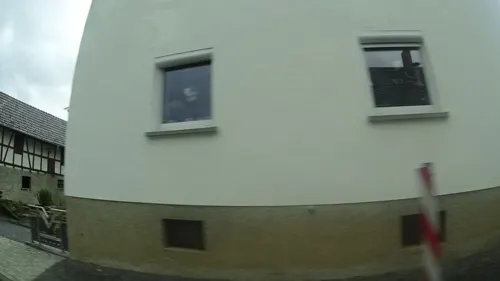
Zum Goldenen Stern
Restaurant · Regional · 6.7 km
Mo-Su 17:00-24:00 || Su,PH "Mittagstisch an Sonn- und Feiertagen"
Grill Station zum alten Bahnhof
Restaurant · Italian, Pizza, Doner · 6.5 km
24 Bahnhofstraße, Schenklengsfeld
Mo-Su 16:00-22:30
Landgasthof Zum Adler
Restaurant · German, Italian · 5.6 km
8 Dorfstraße, Burghaun
Tu-Sa 17:00-24:00; Su,PH 11:00-14:30,17:00-24:00; Mo off
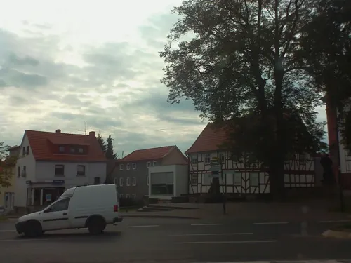
Heimat 50°
Restaurant · German
2 Marktstraße, Eiterfeld
Th-Sa 17:00-23:00; Su 11:00-21:00; Mo-We off

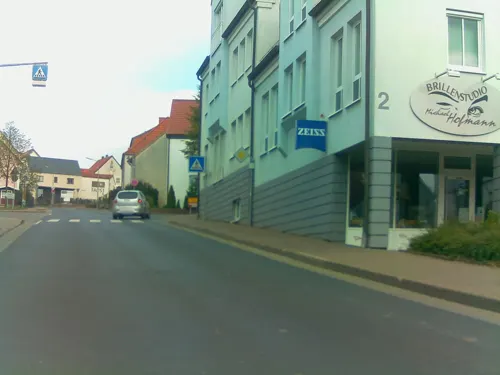


Bäckerei Happ
Bakery
3 Fürstenecker Straße, Eiterfeld
Mo-Fr 05:30-18:00; Sa 05:30-17:00; Su 07:00-17:00
16 more on the map.
Where to stay11
Churches and places of worship31
Evangelische Kirche Wippershain
Church · Protestant · 7.6 km
7 Wippershain 12. Straße, Schenklengsfeld
Evangelische Kirche zu Buchenau
Church · Protestant · 2.7 km
17 Kirchweg, Eiterfeld
Shopping8
Gas and EV charging8
Schools, colleges and libraries6
Healthcare2
Map of Eiterfeld
174 places. The map loads OpenStreetMap tiles when you open it.
Getting there and nearby towns
Fritzlar Air Base (FRZ) is the nearest airport with scheduled flights listed in OpenStreetMap, 53 km away.
- Hünfeld 10 km south, about 10 min by car
- Bad Hersfeld 13 km northwest, about 13 min by car
- Niederaula 15 km west, about 15 min by car
- Schlitz 20 km southwest, about 20 min by car
- Heringen 20 km northeast, about 20 min by car
- Hofbieber 20 km south, about 20 min by car
- Bebra 23 km north, about 23 min by car
- Fulda 25 km south, about 25 min by car
- Künzell 25 km south, about 25 min by car
- Rotenburg an der Fulda 26 km north, about 26 min by car
Drive times are estimates from straight-line distance, not routes.
Local news
Headlines from INDB.
Reviews, tips and questions
Loading what members have shared...
Sources and licences
- GeoNames (CC BY 4.0): population, coordinates, regions and time zone
- Mapillary (see each image): photos
- OpenStreetMap contributors (ODbL 1.0): places, airports, map data
- Wikidata (CC0 1.0): elevation, founding date, time zone, website, landmarks and historic places
- Wikimedia Commons (see each image): photos
- Wikipedia (CC BY-SA 4.0): overview and history text
Photo credits
- Katholische St.-Georgs-Kirche Eiterfeld, Marrrci, CC BY-SA 3.0
- Blick auf Eiterfeld, Marrrci, CC BY-SA 3.0
- Blick auf Eiterfeld 2, Marrrci, CC BY-SA 3.0
- Blick auf Eiterfeld über das Eiterfelder Industriegebiet "Im Leibolzgraben", Marrrci, CC BY-SA 3.0
- Informationstafel am ehemaligem Bahnhof Leibolz (Eiterfeld), Marrrci, CC BY-SA 3.0
- Blick auf Leimbach (Eiterfeld), Marrrci, CC BY-SA 3.0
- Blick auf Arzell (Eiterfeld), Marrrci, CC BY-SA 3.0
- Blick auf Eiterfeld 4, Marrrci, CC BY-SA 3.0
- Blick auf Eiterfeld 5, Marrrci, CC BY-SA 3.0
- Gedenktafel-Innerdeutsche Grenze, DavidG, CC0
- Burg Hauneck - 1980, Tom125 at German Wikipedia, CC BY-SA 3.0
- Rasdorf Gehilfersberg01 2014-07-18, KlausFoehl, CC BY-SA 3.0
- Schlossbuchenauluft, Unknown author, CC BY-SA 3.0
- Lichtkopf hessisches kegelspiel vom kegelspiel radweg ds wc 30 09 2012, Dirk Schmidt (Celsius auf Wikivoyage), CC BY-SA 3.0
- Huenfeld Kirchhasel Stallberg Ringwall E a, UuMUfQ, CC BY-SA 3.0
- Soisbergturm-01, Muck, CC BY-SA 4.0
- Kirche, 6, Soisdorf, Eiterfeld, Landkreis Fulda, GeorgDerReisende, CC BY-SA 4.0
- Wippershain kirche, 2micha, CC BY-SA 3.0
- Buchenau kirche1573, 2micha, CC BY-SA 3.0
- Burghauneck torhaus innen, 2micha, CC BY-SA 3.0
- Schloss Buchenau Gesamtanlage, Klaus Göbel, CC BY-SA 4.0
- Burgblick von oben, Hughost132, CC BY 4.0
- Blick aus etwa nördlicher Richtung auf den Morsberg, GerritR, CC BY-SA 4.0
- DJI 20260504121202 0047 D, Hughost132, CC BY 4.0
- Kegelspielradweg 06, Marrrci, CC BY-SA 3.0
- Kegelspielradweg 07, Marrrci, CC BY-SA 3.0
- Ehemaliger Bahnhof Leibolz, Marrrci, CC BY-SA 3.0
- Tafel im "Rhöner Platt" Leibolz Bahnhof, Marrrci, CC BY-SA 3.0
- Informationstafel "offenes Buch entland des Kegelspiel-Radweges", Marrrci, CC BY-SA 3.0
- Festakt 70 Jahre Akademie Burg Fürsteneck 2023, Hisselsberger, CC0
- Rastplatz am Kegelspielradweg, Marrrci, CC BY-SA 3.0
- Kegelspielradweg 05, Marrrci, CC BY-SA 3.0
- Tafel im "Rhöner Platt" nähe Leimbach, Marrrci, CC BY-SA 3.0
- Wegweiser und Tafel im "Rhöner Platt" nähe Leimbach, Marrrci, CC BY-SA 3.0
- Kegelspielradweg 04, Marrrci, CC BY-SA 3.0
- Blick vom Kegelspielradweg, Marrrci, CC BY-SA 3.0
- Street-level photo, DerMaster0815, CC BY-SA 4.0
- Street-level photo, ramap, CC BY-SA 4.0
- Street-level photo, ramap, CC BY-SA 4.0
- Street-level photo, ramap, CC BY-SA 4.0
- Street-level photo, ramap, CC BY-SA 4.0
- Street-level photo, ramap, CC BY-SA 4.0
- Street-level photo, bct, CC BY-SA 4.0
- Street-level photo, ramap, CC BY-SA 4.0
- Street-level photo, ramap, CC BY-SA 4.0


Page built November 9, 2026. Spotted a mistake? Tell us or suggest a place.