


Why visit Heringen
Townapedia lists 37 museums and landmarks, 14 parks and trails, 28 places to eat, 20 places to stay and 28 attractions in and around town.
Highlights include Brücke der Einheit, Weihe Viaduct, Burg Wendelstein and Eichburg.
Weather in Heringen
Forecast from MET Norway (CC BY 4.0). Full forecast
About Heringen
Heringen (Werra) (German pronunciation: [ˈheːʁɪŋən] ) is a small town in Hersfeld-Rotenburg district in eastern Hesse, Germany lying right at the boundary with Thuringia.
From the Wikipedia article Heringen (this version), under CC BY-SA 4.0.
Things to do28


Weihe Viaduct
Bridge · 8.4 km
Bridge of the A4 motorway near Richelsdorf, Germany




16 more on the map.
Museums and landmarks37

Burg Wendelstein
Museum · 6.7 km
8 A Untertor, Vacha
Tu,Th-Fr 10:00-17:00, We 10:00-12:00, Sa-Su 14:00-17:00

Eichburg
Monument and historic site · 2.0 km
Von der ehemaligen Anlage ist nichts übrig geblieben außer einigen kleinen Verwerfungen im Waldboden
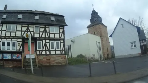
Monte Kali
Monument and historic site · 2.4 km
Der Monte Kali ist eine der größten Salzabraumhalden Europas und gleichzeitig eine Touristenattraktiion.




Gefallendenkmal I.WK
Monument and historic site · 6.6 km
Das am Reformationstag 2020 eingeweihte Denkmal erinnert an den Reformator, Georg Witzel, er hielt 1522 die erste lutherische Predigt...
Georg Witzel (1501-1573)
Monument and historic site · 6.7 km
Das am Reformationstag 2020 eingeweihte Denkmal erinnert an den Reformator, Georg Witzel, er hielt 1522 die erste lutherische Predigt...
25 more on the map.
Parks, trails and playgrounds14





2 more on the map.
Restaurants and cafes28
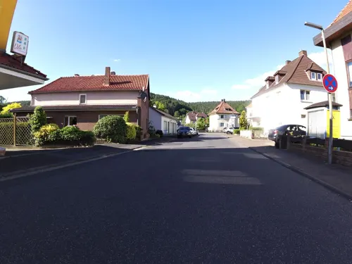
Qilin China-Restaurant
Restaurant · Chinese, Japanese · 5.5 km
Kein Ruhetag
4 Wiesenstraße, Philippsthal (Werra)
11:30-15:00, 17:00-22:00
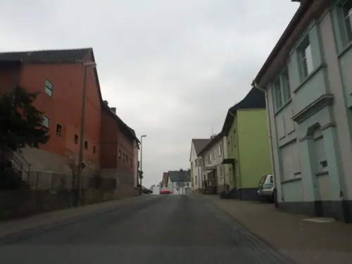
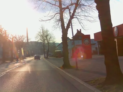
City Grill
Restaurant · Kebab, Pizza · 5.4 km
15 Am Zollhaus, Philippsthal
Tu-Fr 11:00-14:00, 16:30-22:30; Sa 11:00-22:30; Su 16:30-22:30
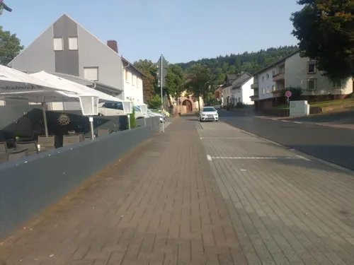
Gaststätte "Rhönblick"
Restaurant · Regional · 5.3 km
2 a Vachaer Straße, Philippsthal
Su 10:00+; PH 10:00+; Mo-Fr 16:00-24:00
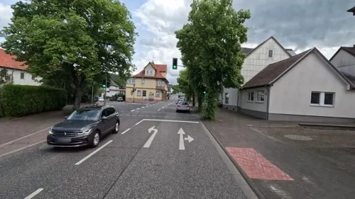
Guter Gerlach
Cafe · 5.4 km
13 Am Zollhaus, Philippsthal
Mo-Sa 05:00-18:00; Su 07:00-18:00; PH 07:00-18:00

Medial
Restaurant · Asian Fusion · 5.2 km
3 Am Bad, Philippsthal
We-Fr 17:30-22:00; Sa,Su 12:00-14:30, 17:30-22:00; PH off "auf...
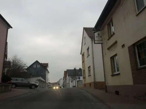
Pizzeria Antonio Affatato Stadtschänke
Restaurant · Italian
55 Hauptstraße, Heringen (Werra)
Mo 18:00-23:00; Tu off; We-Sa 18:00-23:00; Su 11:30-14:00, 18:00-23:00
Pulcinella
Restaurant · Italian · 5.2 km
8 Schloss, Philippsthal
Mo,We-Fr 11:00-22:15
Werra Grill
Restaurant · Pizza
3 Dickesstraße, Heringen
Mo-Su 11:00-22:00
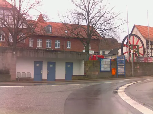
Bürgerstube Milano
Restaurant · German, Italian, Indian · 1.3 km
3 Badstraße
Mo off; Tu-Fr 11:30-14:30,17:00-23:00; Sa 17:00-23:00; Su,PH 11:00-22:00


16 more on the map.
History
In 1153, Heringen had its first documentary mention. The Fulda Abbey enfeoffed the nobleman Heinrich von Heringen about 1170 with the place. The Heringen court comprised in the early 15th century not only the current town area but also the Thuringian centres of Vitzeroda, Gasteroda and Abteroda, all of which now belong to the Verwaltungsgemeinschaft Berka/Werra. In 1432, Margarethe von Heringen sold the court to the Landgraves of Hesse, thereby binding Heringen to Hesse.
With the opening of the Wintershall potash works, which began mining in 1903, the community got its first industrial jobs. Later, the Neu-Heringen and Herfa-Neurode potash mines were built. The mine is today the world's biggest potash-mining area and has an area about the same as Greater Munich's.
From the History section of Heringen on Wikipedia, under CC BY-SA 4.0.
Where to stay20
Appartement Kleiderling
Motel and hotel · 4.9 km
40 Am Rain, Philippsthal (Werra)
Churches and places of worship10
St. Kilian Kirche
Church · Lutheran · 4.1 km
Schloßgasse, Werra-Suhl-Tal
Shopping8
Gas and EV charging6
Freie Tankstelle
Gas station · 5.3 km
2 Friedewalder Straße, Philippsthal (Werra)
Schools, colleges and libraries7
Healthcare2
Map of Heringen
160 places. The map loads OpenStreetMap tiles when you open it.
Getting there and nearby towns
Flugplatz Eisenach-Kindel (EIB) is the nearest airport with scheduled flights listed in OpenStreetMap, 35 km away.
- Bebra 18 km northwest, about 18 min by car
- Bad Salzungen 18 km southeast, about 18 min by car
- Bad Hersfeld 21 km west, about 21 min by car
- Sontra 21 km north, about 21 min by car
- Rotenburg an der Fulda 23 km northwest, about 23 min by car
- Eisenach 24 km northeast, about 24 min by car
- Hünfeld 29 km southwest, about 29 min by car
- Waldkappel 30 km north, about 30 min by car
- Niederaula 30 km west, about 30 min by car
- Eschwege 33 km north, about 33 min by car
Drive times are estimates from straight-line distance, not routes.
Local news
Headlines from INDB.
Reviews, tips and questions
Loading what members have shared...
Sources and licences
- GeoNames (CC BY 4.0): population, coordinates, regions and time zone
- Mapillary (see each image): photos
- OpenStreetMap contributors (ODbL 1.0): places, airports, map data
- Wikidata (CC0 1.0): elevation, founding date, time zone, website, landmarks and historic places
- Wikimedia Commons (see each image): photos
- Wikipedia (CC BY-SA 4.0): overview and history text
Photo credits
- Wintershall Heringen 02, Kuebi = Armin Kübelbeck, CC BY-SA 3.0
- Naturschutzgebiet „Rohrlache von Heringen“ (1), Heinz K. S., CC BY-SA 4.0
- Jungshtalquelle Heringen, DocBuer, CC0
- WAK ABTERODA 3, Metilsteiner, CC BY-SA 3.0
- WAK DKMSHSN HORNSBG, Metilsteiner, CC BY-SA 3.0
- Salzberg kaliwerk wintershall heringen, 2micha, CC BY-SA 3.0
- WAK DKMSHSN NSGEBIET, Metilsteiner, CC BY-SA 3.0
- Philippsthal kirche suedost, 2micha, CC BY-SA 3.0
- Vacha-Werrabruecke1, Störfix, CC BY-SA 3.0
- Mahnmal bodelsruh heringen, 2micha, CC BY-SA 3.0
- WAK DANKMARSHSN KIRCHE, Metilsteiner, CC BY-SA 3.0
- Stadtkirche Vacha, Michael Sander, CC BY-SA 3.0
- Naturschutzgebiet Säulingssee bei Kleinensee im Kreis Hersfeld-Rotenburg (3), Heinz K. S., CC BY-SA 4.0
- Naturschutzgebiet Rhäden bei Obersuhl, WDPA ID 165150, Heinz K. S., CC BY-SA 4.0
- Naturschutzgebiet Rohrlache Heringen Hessen, SUNFLECKR, CC BY-SA 3.0
- WAK DIPPACH KIRCHE, Metilsteiner, CC BY-SA 3.0
- WAK DKMSHSN DKM 1WK, Metilsteiner, CC BY-SA 3.0
- WAK DIPPACH SCHLOSS, Metilsteiner, CC BY-SA 3.0
- Rhäden bei Obersuhl und Bosserode im Kreis Hersfeld-Rotenburg, Heinz K. S., CC BY-SA 4.0
- Heringen Germany Monte-Kali-01, CEphoto, Uwe Aranas, CC BY-SA 3.0
- Werrabrücke Vacha 20180302 009, Tilman2007, CC BY-SA 4.0
- Schlossstraße, Schloss Philippsthal 20180302 001, Tilman2007, CC BY-SA 4.0
- Burg Wendelstein 2010-12-02, HarryCane, CC BY-SA 3.0
- Naturschutzgebiet Säulingssee bei Kleinensee im Kreis Hersfeld-Rotenburg (1), Heinz K. S., CC BY-SA 4.0
- Rhäden bei Obersuhl und Bosserode im Landkreis Hersfeld-Rotenburg, Heinz K. S., CC BY-SA 4.0
- Relief Eichburg, Commander-pirx, CC BY-SA 4.0
- ISS065-E-388732 - View of Earth, Earth Science and Remote Sensing Unit , Lyndon B. Johnson Space Center, Public domain
- ISS041-E-106128 - View of Earth, Earth Science and Remote Sensing Unit , Lyndon B. Johnson Space Center, Public domain
- ISS040-E-62354 - View of Earth, Earth Science and Remote Sensing Unit , Lyndon B. Johnson Space Center, Public domain
- ISS031-E-148440 - View of Earth, Earth Science and Remote Sensing Unit , Lyndon B. Johnson Space Center, Public domain
- ISS065-E-383975 - View of Earth, Earth Science and Remote Sensing Unit , Lyndon B. Johnson Space Center, Public domain
- ISS047-E-58047 - View of Earth, Earth Science and Remote Sensing Unit , Lyndon B. Johnson Space Center, Public domain
- ISS031-E-148439 - View of Earth, Earth Science and Remote Sensing Unit , Lyndon B. Johnson Space Center, Public domain
- ISS065-E-372298 - View of Earth, Earth Science and Remote Sensing Unit , Lyndon B. Johnson Space Center, Public domain
- ISS023-E-9291 - View of Earth, Earth Science and Remote Sensing Unit , Lyndon B. Johnson Space Center, Public domain
- ISS057-E-33920 - View of Earth, Earth Science and Remote Sensing Unit, NASA Johnson Space Center, Public domain
- ISS027-E-20777 - View of Earth, Earth Science and Remote Sensing Unit , Lyndon B. Johnson Space Center, Public domain
- ISS042-E-183903 - View of Earth, Earth Science and Remote Sensing Unit , Lyndon B. Johnson Space Center, Public domain
- ISS057-E-33919 - View of Earth, Earth Science and Remote Sensing Unit, NASA Johnson Space Center, Public domain
- STS131-E-12532 - View of Sweden, NASA, Public domain
- Street-level photo, ramap, CC BY-SA 4.0
- Street-level photo, zoegglmeyr1, CC BY-SA 4.0
- Street-level photo, zoegglmeyr, CC BY-SA 4.0
- Street-level photo, zoegglmeyr, CC BY-SA 4.0
- Street-level photo, natura, CC BY-SA 4.0
- Street-level photo, bct, CC BY-SA 4.0
- Street-level photo, ramap, CC BY-SA 4.0
- Street-level photo, ottor, CC BY-SA 4.0
- Street-level photo, ramap, CC BY-SA 4.0
- Street-level photo, ramap, CC BY-SA 4.0
- Street-level photo, nakaner, CC BY-SA 4.0
- Street-level photo, ramap, CC BY-SA 4.0
- Street-level photo, zoegglmeyr, CC BY-SA 4.0
- Street-level photo, ottor, CC BY-SA 4.0
- Street-level photo, natura, CC BY-SA 4.0
- Street-level photo, ottor, CC BY-SA 4.0
- Street-level photo, bct, CC BY-SA 4.0
- Street-level photo, ottor, CC BY-SA 4.0
- Street-level photo, cuspis, CC BY-SA 4.0
- Street-level photo, zoegglmeyr, CC BY-SA 4.0
- Street-level photo, ramap, CC BY-SA 4.0
- Street-level photo, ramap, CC BY-SA 4.0
- Street-level photo, zoegglmeyr1, CC BY-SA 4.0


Page built November 9, 2026. Spotted a mistake? Tell us or suggest a place.