


Why visit Erbach
Townapedia lists 94 museums and landmarks, 45 parks and trails, 117 places to eat, 18 places to stay and 36 attractions in and around town.
Highlights include Weidehähnchen Ferienhof Günterfürst, Englischer Garten Eulbach, Tempelhaus and Deutsches Elfenbeinmuseum.
Weather in Erbach
Forecast from MET Norway (CC BY 4.0). Full forecast
About Erbach
Erbach (German pronunciation: [ˈɛʁbax] ) is a town and the district seat of the Odenwaldkreis (district) in Hesse, Germany. It has a population of around 14,000.
From the Wikipedia article Erbach, Hesse (this version), under CC BY-SA 4.0.
Things to do36
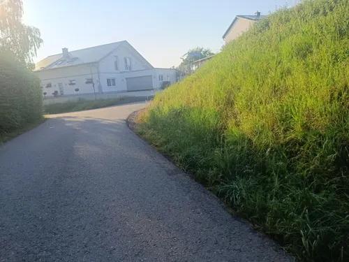
Weidehähnchen Ferienhof Günterfürst
Farm and orchard · 2.8 km
Direktvermarktung von Odenwälder Weidehähnchen BIOlogisch gefüttert / natürlich aufgewachsen
14 Sportplatzweg, Erbach
Mo-Su 08:00-21:00





24 more on the map.
Museums and landmarks94



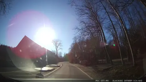
Numeruskastell Eulbach
Monument and historic site · 6.4 km
Römisches Numeruskastell (ORL 48 ) der alten Limeslinie. Nutzung ca. 100-160 n. Chr. Areal als schwache Bodenwellen im Gelände sichtbar.


Historisches Rathaus
Monument and historic site · 2.0 km
3 Marktplatz, Michelstadt

Jagdschloss Eulbach
Monument and historic site · 6.2 km
1 Eulbach-Jagdschloß, Michelstadt


Numeruskastell Würzberg
Monument and historic site · 6.6 km
Römisches Numeruskastell (ORL 49) der alten Limeslinie, Nutzung ca. 100-160 n. Chr, Areal und Umwehrung als Erhöhung im Gelände deutlich...

Römerbad Würzberg
Monument and historic site · 6.6 km
Teilrestauriertes Badegebäude des ca. 100 Meter nördlich davon liegenden Numeruskastells Würzberg.
82 more on the map.
Parks, trails and playgrounds45
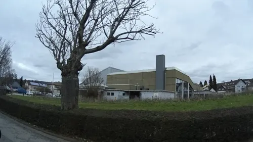
Odenwald Hallenbad
Sports field and stadium · 1.2 km
54 Erbacher Straße, Michelstadt
Mo 14:00-19:00; Tu,We 14:00-21:00; Th-Sa 08:00-21:00; Su 09:00-19:00




Spielplatz Ihrigstraße
Playground · 4.8 km
Sehr runtergekommener Zustand. Keinen Besuch wert.


33 more on the map.
Restaurants and cafes117

Odenwälder Gut Stubb
Restaurant · Regional · 2.2 km
2 Waldstraße, Michelstadt
Mo-Su 11:30-14:00,17:30-22:30; We off
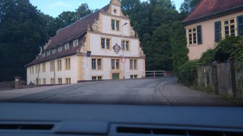
Zur Gerste
Restaurant · Regional, German · 2.9 km
Das Gasthaus zur Gerste hat auch einen wunderbaren Biergarten direkt an der Mümling.
2 Schloßstraße, Michelstadt
We,Th 16:00-22:00; Fr 16:00-00:00; Sa 11:00-00:00; Su 11:00-22:00
Black Bull Michelstadt
Restaurant · American, Burger, Steak House, Salad · 2.8 km
35 Frankfurter Straße, Michelstadt
Mo-Th 17:00-22:00; Tu off; Fr,Sa 17:00-23:00; Su 11:00-22:00
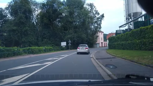
Brauereigasthof Schmucker
Restaurant · Regional · 5.2 km
91 Hauptstraße, Mossautal
Tu-Th 11:30-14:30,16:30-22:00; Fr-Su,PH 11:30-22:00
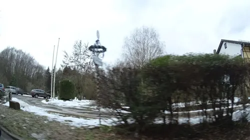

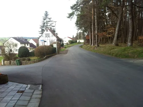
Midde Noi
Cafe · Coffee Shop, Sandwich, Pastry, Wochenkarte · 2.1 km
12 Untere Pfarrgasse, Michelstadt
Mo-Fr 08:30-17:00; Sa 09:00-15:00; Su 09:00-17:00
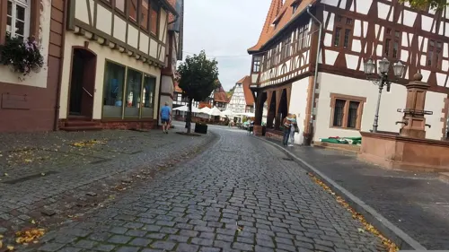
Rathausbräu
Restaurant · German · 2.1 km
3 Mauerstraße, Michelstadt
Mo-Th 11:00-24:00, Fr,Sa 11:00-23:55


Wild Bills Saloon
Restaurant · American, Burger, Steak, Steak House · 1.3 km
72 Neckarstraße, Erbach
Mo-Fr 16:00-24:00; Sa 00:00-01:00,16:00-24:00; Su...
105 more on the map.
History
Erbach has long been the residence of the Counts of Erbach, who trace their descent back to the 12th century, and who held the office of cup-bearer to the Electors Palatine of the Rhine until 1806. In 1532 the emperor Charles V made the county a direct fief of the Holy Roman Empire, on account of the services rendered by Count Eberhard during the Palatine Peasants' War.
In 1717 the family was divided into the three lines of Erbach-Fürstenau, Erbach-Erbach and Erbach-Schönberg, who rank for precedence, not according to the age of their descent, but according to the age of the chief of their line. In 1818 the counts of Erbach-Erbach inherited the county of Wartenberg-Roth, and in 1903 the count of Erbach-Schönberg was granted the title of Fürst (Prince) (the first Prince was Gustav, husband of Princess Marie of Battenberg). The county was incorporated with the duchy of Hesse-Darmstadt in the 19th century.
From the History section of Erbach, Hesse on Wikipedia, under CC BY-SA 4.0.
Where to stay18
Churches and places of worship23
Katholische Kirche St. Georg
Church · Roman Catholic · 6.6 km
14 Im Eck, Michelstadt
Shopping27
Gas and EV charging9
Schools, colleges and libraries18
Berufliches Schulzentrum Odenwaldkreis
School · 1.3 km
50 Erbacher Straße, Michelstadt
Healthcare7
Elefanten Apotheke
Clinic and pharmacy · 1.0 km
23 Gerhart-Hauptmann-Straße, Erbach
Map of Erbach
250 places. The map loads OpenStreetMap tiles when you open it.
Getting there and nearby towns
City-Airport Mannheim (MHG) is the nearest airport with scheduled flights listed in OpenStreetMap, 40 km away.
- Fürth 15 km west, about 15 min by car
- Wald-Michelbach 16 km southwest, about 16 min by car
- Höchst im Odenwald 15 km north, about 15 min by car
- Mörlenbach 20 km west, about 20 min by car
- Eberbach 22 km south, about 22 min by car
- Ober-Ramstadt 26 km northwest, about 26 min by car
- Hemsbach 26 km west, about 26 min by car
- Groß-Zimmern 26 km northwest, about 26 min by car
- Weinheim 27 km southwest, about 27 min by car
- Roßdorf 28 km northwest, about 28 min by car
Drive times are estimates from straight-line distance, not routes.
Local news
Headlines from INDB.
Reviews, tips and questions
Loading what members have shared...
Sources and licences
- GeoNames (CC BY 4.0): population, coordinates, regions and time zone
- Mapillary (see each image): photos
- OpenStreetMap contributors (ODbL 1.0): places, airports, map data
- Wikidata (CC0 1.0): elevation, founding date, time zone, website, landmarks and historic places
- Wikimedia Commons (see each image): photos
- Wikipedia (CC BY-SA 4.0): overview and history text
Photo credits
- Erbach (Odenwald) von Osten 2022a, Thiotrix, CC BY-SA 4.0
- Elfenbeinmuseum Erbach aussen, Haselburg-müller, CC BY-SA 3.0
- Erbach Templerhaus, Haselburg-müller, CC BY-SA 3.0
- SchlossErbach6100, Hubert Berberich ( HubiB ), CC BY 3.0
- Erbach, Beethovenstraße 8-10 (Kulturdenkmal), Shyof, CC0
- Erbach (Odenwald), ehemaliger Prellstein (1), Manfred Schröter, Berga, CC BY-SA 4.0
- Erbach, Michelstädter Str. 16 (Kulturdenkmal), Shyof, CC0
- Erbach Friedhofskapelle N Det 250 IMG 20241110 1417, Karlunun, CC0
- Erbach, Brückenstraße 1 (Kulturdenkmal), Shyof, CC0
- Erbach, Arbeiterwohnhäuser Michelstädter Straße 18-22 (Kulturdenkmal), Shyof, CC0
- Erbach - Path & Arch - geo.hlipp.de - 27075, Lewis Clarke on geo.hlipp.de, CC BY-SA 2.0
- Erbach - Stadtel - geo.hlipp.de - 27076, Lewis Clarke on geo.hlipp.de, CC BY-SA 2.0
- Tempelhaus Erbach-02, Muck, CC BY-SA 4.0
- Tempelhaus Erbach-01, Muck, CC BY-SA 4.0
- Tempelhaus Erbach-03-Tafel, Muck, CC BY-SA 4.0
- Erbach - Stadtel - geo.hlipp.de - 27078, Lewis Clarke on geo.hlipp.de, CC BY-SA 2.0
- Erbach Burgmannenhaus Pavey, Haselburg-müller, CC BY-SA 3.0
- Erbach Wappen Echter, Haselburg-müller, CC BY-SA 3.0
- Erbach Schloss Archivbau Turm Kreuz 100 IMG 20241110 1252, Karlunun, CC0
- Erbacher Wiesenmarkt29072023 1, Zavijava2, CC BY-SA 3.0
- Erbacher Wiesenmarkt29072023 2, Zavijava2, CC BY-SA 3.0
- Erbach Muemling Marktplatz 240 IMG 20241110 1427, Karlunun, CC0
- Erbach - Erbacher Brauhaus - geo.hlipp.de - 27082, Lewis Clarke on geo.hlipp.de, CC BY-SA 2.0
- Erbach Habermannsburg, Haselburg-müller, CC BY-SA 3.0
- Erbach - Marktplatz - geo.hlipp.de - 27080, Lewis Clarke on geo.hlipp.de, CC BY-SA 2.0
- Erbach - Erbach Castle - geo.hlipp.de - 27086, Lewis Clarke on geo.hlipp.de, CC BY-SA 2.0
- SchlossErbachEingang2, Hubert Berberich ( HubiB ), CC BY 3.0
- Schloss Erbach Bergfried, Haselburg-müller, CC BY-SA 3.0
- Erbach - Erbach Castle - geo.hlipp.de - 27081, Lewis Clarke on geo.hlipp.de, CC BY-SA 2.0
- Erbach Schloss Blick Stadtkirche DSCN0170, Oliverrode, CC BY-SA 3.0
- Ehemalige Schlossmühle Erbach, Shyof, CC0
- Michelstadt - Altstadt - Burg Michelstadt - Ansicht über Burggraben von SO, Roman Eisele, CC BY-SA 4.0
- Einhard Basilica (9th cen.) carolingian architecture, Steinbach-Michelstadt 03, Nemracc, CC BY-SA 4.0
- Himbächel3, The original uploader was Störfix at German Wikipedia ., CC BY-SA 2.0 de
- MichelstadtWürzbergJagdschlossEulbach, Brühl, Public domain
- MichelstadtSynagogue, Hubert Berberich ( HubiB ), CC BY-SA 3.0
- StadtkircheWestfassade-2, Capaci34, CC BY-SA 3.0
- ErbachOdwHauptstr40KathKircheStSophiaO, Brühl, Public domain
- ErbachOdwEvStadtkircheMümlinseiteBrückenstr, Brühl, Public domain
- Kirche Ober-Mossau Nordseite1, Engeser, CC BY-SA 4.0
- ZurNotGottesWinter, Thomas Glintzer, CC BY-SA 4.0
- Erbach Lauerbach Litzertweg13(1), Wulfnoth15, CC0
- Bahnhofstraße 13 (Michelstadt), Gliwi, CC BY-SA 4.0
- Bahnhofstraße 25 (Michelstadt), Gliwi, CC BY-SA 4.0
- NSG Steinbacher Teich und Fürstenauer Park, Michelstadt-Steinbach 2022b, Thiotrix, CC BY-SA 4.0
- NSG Rohrsee von Rehbach 1, Thiotrix, CC BY-SA 4.0
- ORL49 Kastell Wuerzberg 1, No machine-readable author provided. Schwing~commonswiki assumed (based on copyright claims)., Public domain
- Kastell Würzberg, Presse03, CC BY-SA 3.0
- Eulbach 2008 002, Klaus Graf, CC BY 2.5
- Street-level photo, bennid4, CC BY-SA 4.0
- Street-level photo, bennid4, CC BY-SA 4.0
- Street-level photo, changchun1, CC BY-SA 4.0
- Street-level photo, miguel_andrade, CC BY-SA 4.0
- Street-level photo, Mlink, CC BY-SA 4.0
- Street-level photo, bennid4, CC BY-SA 4.0
- Street-level photo, changchun1, CC BY-SA 4.0
- Street-level photo, ramap, CC BY-SA 4.0
- Street-level photo, wegavision, CC BY-SA 4.0
- Street-level photo, miguel_andrade, CC BY-SA 4.0
- Street-level photo, ramap, CC BY-SA 4.0
- Street-level photo, ramap, CC BY-SA 4.0
- Street-level photo, miguel_andrade, CC BY-SA 4.0
- Street-level photo, bennid4, CC BY-SA 4.0
- Street-level photo, changchun1, CC BY-SA 4.0
- Street-level photo, changchun1, CC BY-SA 4.0
- Street-level photo, changchun1, CC BY-SA 4.0
- Street-level photo, bennid4, CC BY-SA 4.0
- Street-level photo, ramap, CC BY-SA 4.0
- Street-level photo, Mlink, CC BY-SA 4.0
- Street-level photo, chuck, CC BY-SA 4.0
- Street-level photo, chuck, CC BY-SA 4.0
- Street-level photo, Mlink, CC BY-SA 4.0
- Street-level photo, changchun1, CC BY-SA 4.0
- Street-level photo, bennid4, CC BY-SA 4.0
- Street-level photo, ramap, CC BY-SA 4.0
- Street-level photo, changchun1, CC BY-SA 4.0
- Street-level photo, chuck, CC BY-SA 4.0
- Street-level photo, bennid4, CC BY-SA 4.0
- Street-level photo, Mlink, CC BY-SA 4.0


Page built November 8, 2026. Spotted a mistake? Tell us or suggest a place.