


Why visit Friedrichsdorf
Townapedia lists 71 museums and landmarks, 56 parks and trails, 223 places to eat, 38 places to stay and 20 attractions in and around town.
Highlights include es'Hexenhäusi, Filmtheater Friedrichsdorf-Köppern, Central Garage and Heimatmuseum Seulberg.
Weather in Friedrichsdorf
Forecast from MET Norway (CC BY 4.0). Full forecast
About Friedrichsdorf
Friedrichsdorf (German pronunciation: [ˈfʁiːdʁɪçsˌdɔʁf] ) is a town of the Hochtaunuskreis, some 20 km (12 mi) north of Frankfurt am Main in Hesse, Germany.
From the Wikipedia article Friedrichsdorf (this version), under CC BY-SA 4.0.
Things to do20

es'Hexenhäusi
Farm and orchard · 4.5 km
24 Junkergasse, Rosbach v. d. Höhe
Mo,Fr 08:30-12:30,14:30-18:00; We,Sa 08:30-12:30; Tu,Th off


Gickelsburg
Scenic view · 4.4 km
Ringwallsiedlung aus der Hallstattzeit, ca. 500 v. Chr.


Kinopolis Bad Homburg
Cinema and theater · 3.5 km
1 Basler Straße, Bad Homburg v.d. Höhe
Mo-Fr 15:00-21:00; Sa,Su 13:00-21:00
Freilichtbühne „Alte Burg“ Burgspielschar e.V. Burgholzhausen
Cinema and theater · 2.5 km
8 more on the map.
Museums and landmarks71

Central Garage
Museum · 4.7 km
5 Niederstedter Weg, Bad Homburg v.d. Höhe
We-Su 12:00-16:30; Mo,Tu,PH off
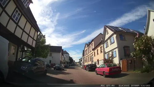
Heimatmuseum Seulberg
Museum · 0.9 km
44-46 Alt Seulberg, Friedrichsdorf
We,Th 09:00-13:00; Su 14:00-17:00; PH off

Chatelet am Römerbrunnen (ehem. Molkenanstalt)
Monument and historic site · 2.8 km
27 Kisseleffstraße, Bad Homburg v.d. Höhe


Philipp-Reis-Haus
Museum · 0.8 km
93 Hugenottenstraße, Friedrichsdorf
Tu,Th 10:00-17:00; Su[1] 14:00-17:00

Spielbank Bad Homburg
Monument and historic site · 2.7 km
Su-Th 14:30-03:00, Fr,Sa 14:30-04:00

Galerie Artlantis
Museum · 4.5 km
6 Tannenwaldweg, Bad Homburg v.d. Höhe
Fr 15:00-18:00; Sa,Su,PH 11:00-18:00 "nur während der Ausstellungszeiten"


Saalburg Roman Fort
Monument and historic site · 5.9 km
Cohort castrum, part of the Limes Germanicus, and is the most completely reconstructed Roman fort in Germany
59 more on the map.
Parks, trails and playgrounds56

Seedammbad
Sports field and stadium · 3.0 km
7 Seedammweg
Tu-Fr 07:00-20:30; Sa-Su 08:00-20:00

Freibad Friedrichsdorf
Sports field and stadium · 1.1 km
1 Dr.-Friedrich-Neiß-Straße, Friedrichsdorf
May-Sep PH,Tu-Su 08:00-20:00






Sportplatzgebäude mit BehdtWC
Sports field and stadium · 3.5 km
96 Usinger Weg, Bad Homburg v.d. Höhe
44 more on the map.
Restaurants and cafes223
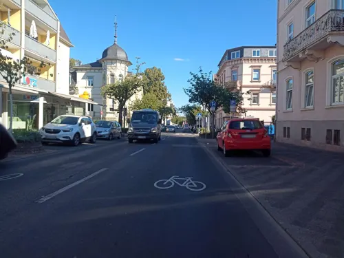
Luna y Sol
Restaurant · Spanish · 3.2 km
Tapasbar y Cerveceria
114 Louisenstraße, Bad Homburg v. d. Höhe
Mo-Fr 12:00-14:30, Mo-Fr 17:00-23:00, Sa 12:00-24:00, Su 12:00-22:00
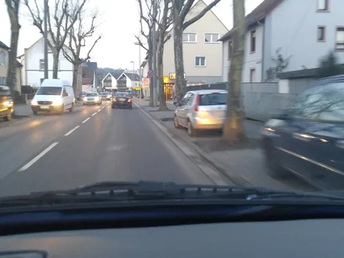
Da Gabriel
Restaurant · Pizza, Italian · 2.7 km
"Große, gemütliche Sommerterasse, Pizza aus dem Holzofen"
55 Köpperner Straße, Friedrichsdorf
Tu-Sa 11:30-15:00,18:00-23:00; Su 12:00-22:00; Mo off

Passions Restaurant & Events
Restaurant · Mediterranean, German, Regional · 3.8 km
Mediterranes Casual-Dining am Royal Homburger Golf Club mit Panoramaterrasse und Kaminzimmer für private Feiern und Firmenevents bis 100 Gäste
10 An der Karlsbrücke, Bad Homburg v.d. Höhe
Tu-Su 12:00-22:00
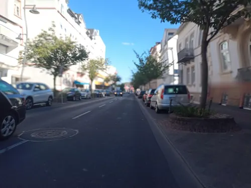
Pizza Lui
Restaurant · Italian, Indian · 3.2 km
No hot drinks, no alcoholic drinks
128 Louisenstraße, Bad Homburg v. d. Höhe
Mo-Fr 11:00-14:30,17:00-23:00; Sa,Su 12:00-23:00
Villa Fantastica
Restaurant · Italian · 3.0 km
Osteria Villa Fantastica
45 Kaiser-Friedrich-Promenade, Bad Homburg v. d. Höhe
Tu-Sa 12:00-15:00,18:00-23:30
'es Hexestübsche Straußwirtschaft
Restaurant · Buschenschank · 4.5 km
24a Junkergasse, Rosbach v. d. Höhe
May-Jun Fr 17:00-22:00; May-Jun Sa,Su,PH 11:00-22:00;Sep Fr...
Alte Kelterei
Restaurant · German · 3.5 km
15 Josef-Baumann-Straße, Bad Homburg v. d. Höhe
Tu-Sa 17:00-00:00; Su 11:30-15:00,17:00-23:00; Mo off
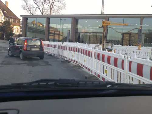


Barg
Restaurant · Persian · 3.6 km
2 Am Bahnhof, Bad Homburg v.d. Höhe
Mo-We 17:00-24:00, Th 17:00-01:00, Fr 17:00-02:00, Sa 15:00-02:00,...

Bäckerei Moos
Bakery · 0.7 km
71 Hugenottenstraße, Friedrichsdorf
Mo-Fr 06:30-18:30; Sa 06:30-13:30; Su 08:00-17:00

Cafe Extrablatt
Cafe · Coffee Shop · 3.2 km
15-17 Louisenstraße, Bad Homburg v.d. Höhe
Mo-Su 09:00-23:30
Der Grieche in Kirdorf
Restaurant · Greek · 2.5 km
2 Raabstraße, Bad Homburg v.d. Höhe
Tu-Sa 17:00-23:00; Su 11:30-14:00,17:00-23:00; Mo off
211 more on the map.
History
The town's founding in 1687 goes back to the persecution of the Huguenots in France, where millions of them fled their country. Part of this exodus was granted asylum by Landgrave Friedrich II with the words "Lieber will ich mein Silbergerät verkaufen, als diesen armen Leuten die Aufnahme versagen" ("I would rather sell my silverware than deny these poor people asylum."). The Huguenots then founded Friedrichsdorf, gratefully naming it after the Landgrave. They brought flannel and stockings with them from France, which spread quickly.
Later, Zwieback was produced in Friedrichsdorf, which is why Friedrichsdorf is known as the "Town of Zwieback". The zwieback factory "Emil Louis Pauly" became Milupa, still in business now as a baby food maker, and still headquartered in Friedrichsdorf. It is now owned by Numico, a Dutch company, and the production facilities have been moved abroad.
The town's most famous son was Johann Philipp Reis, a teacher at the Institut Garnier. He is the inventor of the electric transmission of speech, better known as the telephone and has been dedicated a museum. Friedrichsdorf's comprehensive school (Philipp-Reis-Schule) is also named after him.
From the History section of Friedrichsdorf on Wikipedia, under CC BY-SA 4.0.
Where to stay38
Steigenberger Bad Homburg
Motel and hotel · 3.0 km
69-75 Kaiser-Friedrich-Promenade, Bad Homburg v. d. Höhe
Hotelrestaurant Homburger Hof
Motel and hotel · German · 3.3 km
126 Frankfurter Landstraße, Bad Homburg v. d. Höhe
Churches and places of worship39
Evangelische Kirche Burgholzhausen
Church · Protestant · 2.3 km
22 Alt Burgholzhausen, Friedrichsdorf
Evangelisch-Freikirchliche Gemeinde Bad Homburg
Church · Baptist · 3.3 km
18 Sodener Straße, Bad Homburg v.d. Höhe
Christuskirche
Church · Protestant · 4.2 km
25 Kolberger Weg, Bad Homburg v.d. Höhe
Dillinger Kirche
Church · Protestant · 1.7 km
32 Dillinger Straße, Friedrichsdorf
Evangelische Kirche
Church · Protestant · 4.7 km
16 Hauptstraße, Rosbach v. d. Höhe
Shopping57
Gas and EV charging17
Aral am Europakreisel
Gas station · 3.3 km
146 Louisenstraße, Bad Homburg v.d. Höhe
Schools, colleges and libraries28
accadis International School Bad Homburg
School · 4.3 km
54 Am Weidenring
Healthcare27
Hochtaunus Apotheke Bad Homburg
Clinic and pharmacy · 4.5 km
24 Zeppelinstraße, Bad Homburg v.d. Höhe
Rosen Apotheke
Clinic and pharmacy · 3.7 km
3a Wetterauer Straße, Bad Homburg v. d. Höhe
Hirsch Apotheke
Clinic and pharmacy · 3.2 km
102 Louisenstraße, Bad Homburg v.d. Höhe
Map of Friedrichsdorf
250 places. The map loads OpenStreetMap tiles when you open it.
Getting there and nearby towns
Frankfurt Airport (FRA) is the nearest airport with scheduled flights listed in OpenStreetMap, 26 km away.
- Oberursel 7 km southwest, about 7 min by car
- Rosbach vor der Höhe 7 km northeast, about 7 min by car
- Karben 9 km east, about 9 min by car
- Steinbach am Taunus 10 km southwest, about 10 min by car
- Usingen 12 km northwest, about 12 min by car
- Neu-Anspach 13 km northwest, about 13 min by car
- Schwalbach am Taunus 14 km southwest, about 14 min by car
- Frankfurt am Main 15 km south, about 15 min by car
- Königstein im Taunus 14 km southwest, about 14 min by car
- Nidderau 16 km east, about 16 min by car
Drive times are estimates from straight-line distance, not routes.
Local news
Headlines from INDB.
Reviews, tips and questions
Loading what members have shared...
Sources and licences
- GeoNames (CC BY 4.0): population, coordinates, regions and time zone
- Mapillary (see each image): photos
- OpenStreetMap contributors (ODbL 1.0): places, airports, map data
- Wikidata (CC0 1.0): elevation, founding date, time zone, website, landmarks and historic places
- Wikimedia Commons (see each image): photos
- Wikipedia (CC BY-SA 4.0): overview and history text
Photo credits
- Friedrichsdorf TS Hugenottenstrasse, MdE, CC BY-SA 3.0 de
- Bleibeskopf 76, Leipold, Marc, Public domain
- Saalburg Main Gate (Porta Praetoria), en:User:Ekem, Public domain
- Wehrheim Obernhain, MdE, CC BY-SA 3.0
- Frankfurt Tempel mit Turm 2005 08 26, Donny Wöllauer, CC BY-SA 3.0
- Bad Homburg, Englische Kirche 01, 4spring, CC0
- Bad-homburg-erloeserkirche-038, Dontworry, CC BY-SA 3.0
- Campus accadis Bad Homburg, Hochschulmarketing accadis, CC BY-SA 3.0
- Philipp-Reis-Schule Friedrichsdorf Neubau Eingang, MdE, CC BY-SA 3.0 de
- Kaiserin-Friedrich-Gymnasium Haupteingang, Fabian Angeloni, CC BY-SA 2.0 de
- Rodheim evangelische Kirche, Karsten Ratzke, CC0
- Gickelsburg Taunus 2021-08-12 28, Leonhard Lenz, CC0
- Kurpark-hg-spielbank-005, Dontworry, CC BY-SA 3.0
- BHvdH Sinclair-Haus 20110320 Pano, Eva K., GFDL 1.2
- Aerial image of Schlosspark Bad Homburg (view from the southwest), Carsten Steger, CC BY-SA 4.0
- Seedammbad Bad Homburg, Karsten Ratzke, Public domain
- Bad Homburg, St. Marienkirche, Karsten Ratzke, CC0
- Kirdorf, Evangelische Gedächtniskirche, Karsten11, Public domain
- NSG Kirdorfer Feld bei Bad Homburg 2021-08-12 37, Leonhard Lenz, CC0
- Dillingen, Dillinger Straße 32, Karsten Ratzke, CC0
- Ellerhöhturm-01, Muck, CC BY-SA 4.0
- Christuskirche, Bad Homburg 02, 4spring, CC0
- Tower - panoramio (13), Roman SUZUKI, CC BY 3.0
- Evangelisch-Freikirchliche Gemeinde Bad Homburg, 02, 4spring, CC0
- Bad Homburg, Kurpark. Restaurant am Römerbrunnen, Karsten Ratzke, CC0
- Friedrichsdorf TS Philipp-Reis-Haus 3, MdE, CC BY-SA 3.0 de
- Friedrichsdorf TS Schwimmbad, MdE, CC BY-SA 3.0
- Friedrichsdorf, Hugenottenstraße 86, Karsten Ratzke, CC0
- Bad Homburg Spielbank Front, Karsten11, Public domain
- Schlosspark-Bad-Homburg-JR-G6-1773-2007-08-06, Johannes Robalotoff, CC BY-SA 3.0 de
- Hesselberg Gickelsburg Bottigtal, MdE, CC BY-SA 3.0 de
- BHvdH Erloeserkircher Frontansicht EVA 8493, Eva K., GFDL 1.2
- Gluckenstein 1, Karsten11, Public domain
- Bad Homburg Seedambad Sportbecken Innen, Karsten11, Public domain
- Friedrichsdorf TS Philipp-Reis-Haus 2, MdE, CC BY-SA 3.0
- Bad Homburg, St. Marien Seitenansicht, Karsten11, CC0
- Kirdorfer Feld mit Ausblick, YEycan, CC BY-SA 3.0
- Opelit Mopetta Bad Homburg, Buch-t, CC BY-SA 3.0 de
- Bad Homburg – Kurpark - panoramio (8), giggel, CC BY 3.0
- Street-level photo, sungedoul, CC BY-SA 4.0
- Street-level photo, chuck, CC BY-SA 4.0
- Street-level photo, scg1176, CC BY-SA 4.0
- Street-level photo, sungedoul, CC BY-SA 4.0
- Street-level photo, tmka, CC BY-SA 4.0
- Street-level photo, tmka, CC BY-SA 4.0
- Street-level photo, jose1711, CC BY-SA 4.0
- Street-level photo, ramap, CC BY-SA 4.0
- Street-level photo, jose1711, CC BY-SA 4.0
- Street-level photo, miguel_andrade, CC BY-SA 4.0
- Street-level photo, tmka, CC BY-SA 4.0
- Street-level photo, tmka, CC BY-SA 4.0
- Street-level photo, tmka, CC BY-SA 4.0
- Street-level photo, jurgenweighardt, CC BY-SA 4.0
- Street-level photo, tmka, CC BY-SA 4.0
- Street-level photo, miguel_andrade, CC BY-SA 4.0
- Street-level photo, miguel_andrade, CC BY-SA 4.0
- Street-level photo, scg1176, CC BY-SA 4.0
- Street-level photo, scg1176, CC BY-SA 4.0


Page built November 8, 2026. Spotted a mistake? Tell us or suggest a place.