


Why visit Gangelt
Townapedia lists 110 museums and landmarks, 14 parks and trails, 51 places to eat, 9 places to stay and 5 attractions in and around town.
Highlights include Wildpark Gangelt, BIO-Hofladen-Selfkant, Gut Altenburg and Maria Hilf.
Weather in Gangelt
Forecast from MET Norway (CC BY 4.0). Full forecast
About Gangelt
Gangelt (German pronunciation: [ˈɡaŋl̩t]) is a municipality in the district of Heinsberg, in North Rhine-Westphalia, Germany. It is on the border with the Netherlands and about 10 km east of Sittard and 10 km south-west of Heinsberg.
From the Wikipedia article Gangelt (this version), under CC BY-SA 4.0.
Things to do5

Wildpark Gangelt
Zoo and aquarium · 2.5 km
Schinvelder Straße, Gangelt
Mar-Oct: 09:00-19:00; Nov-Feb: 09:00-17:00
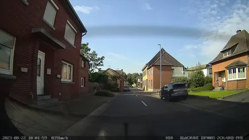
BIO-Hofladen-Selfkant
Farm and orchard · 5.1 km
146 Selfkantstraße, Selfkant
Mo-Fr 09:00-18:00; Sa 09:00-16:00

Tuddern safari park
Monument and historic site · 5.5 km
Zoo in Heinsberg, Germany


Museums and landmarks110

Gut Altenburg
Monument and historic site · 3.7 km
Das zweigeschossige Herrenhaus mit Walmdach, mit zweiachsigen Seitenrisaliten und einem dreiachsigen Mittelstück in Backstein. der...
24 Altenburgstraße, Gangelt
Maria Hilf
Monument and historic site · Catholic
Um 1900, neugotischer Bau mit Dachreiter.
6 Katharina-Kasper-Straße, Gangelt
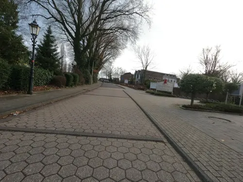
Mercator Hotel-Restaurant
Monument and historic site · International
Im Mittelalter besitzt Gangelt auch eine alte schulische Tradition. Bereits eine Quelle des 14.Jhs. (1351) verzeichnet einen „rector...
6 Burgstraße, Gangelt
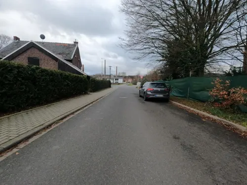
Villa Teeuwen
Monument and historic site · 5.0 km
Es handelt sich um eine Villa aus der Zeit um 1910. Das Gebäude trägt ein Walmdach, und hat ein gegliedertes Holzgesims
177 Karl-Arnold-Straße, Geilenkirchen
Bruchtor
Monument and historic site
Zugang zur Stadt hatte man durch 4 Turmtore. Heinsberger Tor und Bruchtor sind bis heute erhalten. Das Sittarder Tor wurde 1818 abgerissen
Friedhofsmauer
Monument and historic site · 5.5 km
Denkmalgeschützte Friedhofsmauer aus dem 19. Jahrhundert
Hagelkreuz
Monument and historic site · 4.0 km
Gußeisen mit Korpus, Sockel erneuert
Heinsberger Tor
Monument and historic site
Die fast 800 Jahre alte Stadtmauer zeugt davon, das Gangelt im Mittelalter ein bedeutender Ort war, der durch eine Befestigung geschützt...
Jacobus Kritzraedt
Monument and historic site
So schrieb Jacobus Kritzraedt 1644 in seiner Chronik von Gangelt. Der Jesuit hatte die Urkunden des Ortes von 1300 bis 1644 gesammelt...
Jugendfreizeitzentrum
Monument and historic site · 5.7 km
13 Kirchstraße, Selfkant
98 more on the map.
Parks, trails and playgrounds14


Tüdderner Fenn
Hiking and trails · 5.6 km
Erhaltung und Wiederherstellung von naturnahen Feuchtwaeldern, insbesondere von Erlenbruchwaeldern sowie von Feuchtgruenland.
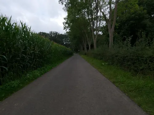

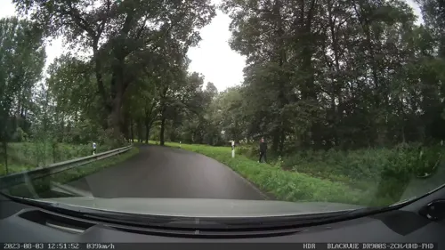


Abenteuerspielplatz und Dorfplatz
Playground · 2.7 km
sunrise-sunset "oder bis 21:00"


2 more on the map.
Restaurants and cafes51

Restaurant Brommler Mühle
Restaurant · Regional · 1.8 km
51 Schinvelder Straße, Gangelt
Tu-Sa 16:00-22:00; Su,PH 09:00-11:30,12:30-22:00; Mo off
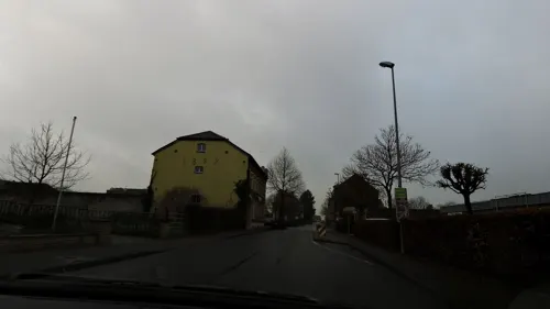
Gasterie Alter Bahnhof
Bar and pub · Regional
Die Gangelter Anlage ist mit Empfangsgebäude und Güterhalle weitgehend erhalten. Die Bahnhofsgebäude der Kleinbahn-Strecke Geilenkirchen...
15 Hanxler Straße, Gangelt
Mo-Su 10:00-21:00; Tu,Fr 17:00-21:00
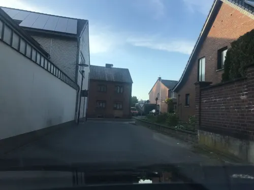
Bäckerei Maria von Heel
Bakery · 4.8 km
Baked goods without adding baking agent
147 Bahnhofstraße, Gangelt
Mo,Sa 05:30-12:30; Tu-Fr 05:30-18:00; Su 07:30-11:00
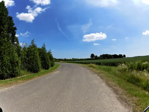
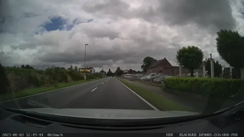
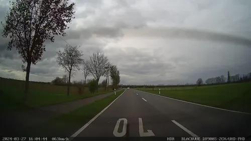
Flammerie
Restaurant · International, Cake · 2.8 km
30 Hoferstraße, Gangelt
We-Sa 17:00-21:30; Su 11:00-21:30; Mo,Tu off
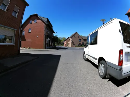
Gasthof Peters
Restaurant · Regional · 5.7 km
1 Heerstraße, Selfkant
Tu-Sa 17:30-24:00; Su 12:00-22:30; Mo off
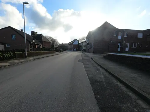
Golden Sushi & Wok
Restaurant · Asian · 4.1 km
8 Starzend, Gangelt
Mo-Fr 15:00-21:30; Tu off; Sa,Su,PH 11:00-21:30
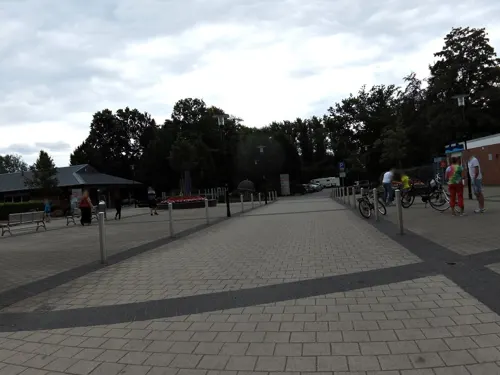
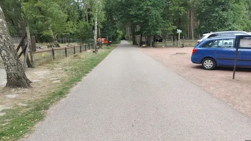
Haus Wildblick
Restaurant · Regional · 2.4 km
Schinvelder Straße, Gangelt
Tu-Th 11:00-18:00; Fr-Su 11:00-21:00; SH,Mo 11:00-18:00
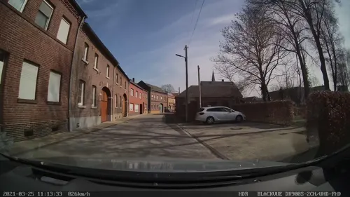
Restaurant Hastenrather Hof
Restaurant · Regional · 2.4 km
3 Hoferstraße, Gangelt
Mo-Tu,Th-Fr 17:00+; Sa 15:00+; Su 09:30+; We off
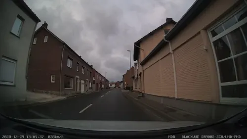


Restaurant Zagreb
Restaurant · Balkan · 5.2 km
6 Landstraße, Selfkant
Tu-Sa 16:30-22:00; Su 11:30-14:00,16:00-22:00
39 more on the map.
History
Gangelt was first mentioned in a document in 828 as a King's property.
In February 2020, a carnival celebration caused a massive COVID-19 outbreak. In April 2020, one in seven residents was seropositive, in a sample of 500.
From the History section of Gangelt on Wikipedia, under CC BY-SA 4.0.
Where to stay9
Churches and places of worship25
Pfarrkirche St. Maria Empfängnis
Church · Catholic · 3.5 km
11 Mittelstraße, Gangelt
Pfarrkirche St. Urban
Church · Catholic · 3.9 km
1 Kreuzstraße, Gangelt
Pfarrkirche St. Hubertus
Church · Catholic · 3.7 km
34 Dechant-Kamper-Straße, Selfkant
Pfarrkirche St. Lambertus
Church · Catholic · 5.5 km
19 Kirchstraße, Selfkant
Pfarrkirche St. Maternus
Church · Catholic · 3.8 km
Bachstraße, Gangelt
Pfarrkirche Hl. Dreifaltigkeit
Church · Roman Catholic · 2.6 km
Rodebachstraße, Gangelt
Pfarrkirche zur schmerzhaften Mutter
Church · Catholic · 2.4 km
Hauptstraße, Gangelt
Shopping9
Gas and EV charging2
Schools, colleges and libraries6
Healthcare5
Map of Gangelt
236 places. The map loads OpenStreetMap tiles when you open it.
Getting there and nearby towns
NATO E-3A Airbase Geilenkirchen (GKE) is the nearest airport with scheduled flights listed in OpenStreetMap, 5 km away.
- Geilenkirchen 9 km east, about 9 min by car
- Heinsberg 11 km northeast, about 11 min by car
- Übach-Palenberg 12 km southeast, about 12 min by car
- Herzogenrath 15 km southeast, about 15 min by car
- Wassenberg 16 km northeast, about 16 min by car
- Hückelhoven 17 km northeast, about 17 min by car
- Linnich 19 km east, about 19 min by car
- Würselen 22 km southeast, about 22 min by car
- Aachen 25 km south, about 25 min by car
- Wegberg 26 km northeast, about 26 min by car
Drive times are estimates from straight-line distance, not routes.
Local news
Headlines from INDB.
Reviews, tips and questions
Loading what members have shared...
Sources and licences
- GeoNames (CC BY 4.0): population, coordinates, regions and time zone
- Mapillary (see each image): photos
- OpenStreetMap contributors (ODbL 1.0): places, airports, map data
- Wikidata (CC0 1.0): elevation, founding date, time zone, website, landmarks and historic places
- Wikimedia Commons (see each image): photos
- Wikipedia (CC BY-SA 4.0): overview and history text
Photo credits
- Stolperstein Gangelt Heinsberger Straße 2 Karl Josephs, Gmbo 2013, CC0
- Stolperstein Gangelt Heinsberger Straße 2 Albert Josephs, Gmbo 2013, CC0
- Stolperstein Gangelt Heinsberger Straße 2 Erna Josephs, Gmbo 2013, CC0
- Stolperstein Gangelt Heinsberger Straße 2 Kaufhaus der Familie Josephs, Gmbo 2013, CC0
- Stolperstein Gangelt Heinsberger Straße 2 Hugo Josephs, Gmbo 2013, CC0
- Stolperstein Gangelt Heinsberger Straße 2 Frieda Josephs, Gmbo 2013, CC0
- Stolpersteine Gangelt Heinsberger Straße 2, Gmbo 2013, CC0
- 2021-07-08-Mercator-in-Gangelt-photo-11, Velopilger, CC BY-SA 4.0
- Stolpersteinlage Gangelt Heinsberger Straße 2, Gmbo 2013, CC0
- 2021-07-08-Mercator-in-Gangelt-photo-10, Velopilger, CC BY-SA 4.0
- Stolpersteinlage Gangelt Heinsberger Straße 11, Gmbo 2013, CC0
- Stolperstein Gangelt Heinsberger Straße 11 Isaak Lichtenstein, Gmbo 2013, CC0
- Stolperstein Gangelt Heinsberger Straße 11 Regina Lichtenstein, Gmbo 2013, CC0
- Stolpersteine Gangelt Heinsberger Straße 11, Gmbo 2013, CC0
- 2021-07-08-Mercator-in-Gangelt-photo-03, Velopilger, CC BY-SA 4.0
- 2021-07-08-Mercator-in-Gangelt-photo-09, Velopilger, CC BY-SA 4.0
- 2021-07-08-Gangelt-photo-3, Velopilger, CC BY-SA 4.0
- 2021-07-08-Gangelt-photo-5, Velopilger, CC BY-SA 4.0
- 2021-07-08-Gangelt-photo-2, Velopilger, CC BY-SA 4.0
- Stolpersteinlage Gangelt Sittarder Straße 12, Gmbo 2013, CC0
- Stolpersteine Gangelt Sittarder Straße 12, Gmbo 2013, CC0
- Stolperstein Gangelt Sittarder Straße 12 Karel Hertz, Gmbo 2013, CC0
- Stolpersteine Gangelt Sittarder Straße 16, Gmbo 2013, CC0
- Stolperstein Gangelt Sittarder Straße 12 Therese Hertz, Gmbo 2013, CC0
- Stolperstein Gangelt Sittarder Straße 12 Elise Hertz, Gmbo 2013, CC0
- 2021-07-08-Gangelt-photo-4, Velopilger, CC BY-SA 4.0
- Stolpersteinlage Gangelt Sittarder Straße 16, Gmbo 2013, CC0
- 2021-07-08-Mercator-in-Gangelt-photo-02, Velopilger, CC BY-SA 4.0
- Stolperstein Gangelt Sittarder Straße 16 Emil Hartog, Gmbo 2013, CC0
- Stolperstein Gangelt Sittarder Straße 16 Ernst Hartog, Gmbo 2013, CC0
- Stolperstein Gangelt Sittarder Straße 16 Paula Hartog, Gmbo 2013, CC0
- 2021-07-08-Mercator-in-Gangelt-photo-01, Velopilger, CC BY-SA 4.0
- Stolpersteinlage Gangelt Sittarder Straße 22, Gmbo 2013, CC0
- Stolpersteine Gangelt Sittarder Straße 22, Gmbo 2013, CC0
- Stolperstein Gangelt Sittarder Straße 22 Lion Leopold, Gmbo 2013, CC0
- Stolperstein Gangelt Sittarder Straße 22 Ida Leopold, Gmbo 2013, CC0
- Stolperstein Gangelt Sittarder Straße 22 Hugo Leopold, Gmbo 2013, CC0
- Stolperstein Gangelt Sittarder Straße 22 Frieda Leopold, Gmbo 2013, CC0
- Gangelt Kirche Aussen, Käthe u. Bernd Limburg, www.limburg-bernd.de, CC BY-SA 3.0 de
- Herrenhaus Altenburg, Alupus, CC BY-SA 3.0
- Naturschutzgebiet Panneschopp Sicht von Niederstrass, Oliverzalewski, CC BY-SA 3.0
- Langbroich Kapelle Mittelstrasse Totalansicht, Käthe u. Bernd Limburg, www.limburg-bernd.de, CC BY-SA 3.0 de
- Teverener Heide (4), Heide und Wald, Naturschutzgebiet HS-001, Huckety, CC BY-SA 3.0
- Tuedderner Venn 2016, European2017, CC BY-SA 4.0
- Brommler Mühle 4, Käthe u. Bernd Limburg, www.limburg-bernd.de, CC BY-SA 3.0 de
- Gangelt Kirche 1, Alupus, CC BY-SA 3.0
- Birgden Kirche St. Urbanus, Flurax, Public domain
- Süsterseel Kirche St. Hubert Außenansicht, Käthe u. Bernd Limburg, www.limburg-bernd.de, CC BY-SA 3.0 de
- Höngen Kirche St. Lambertus Ansicht, Käthe u. Bernd Limburg, www.limburg-bernd.de, CC BY-SA 3.0 de
- Street-level photo, madel, CC BY-SA 4.0
- Street-level photo, madel, CC BY-SA 4.0
- Street-level photo, madel, CC BY-SA 4.0
- Street-level photo, madel, CC BY-SA 4.0
- Street-level photo, jeroenrozema74, CC BY-SA 4.0
- Street-level photo, madel, CC BY-SA 4.0
- Street-level photo, madel, CC BY-SA 4.0
- Street-level photo, madel, CC BY-SA 4.0
- Street-level photo, hektor1989, CC BY-SA 4.0
- Street-level photo, madel, CC BY-SA 4.0
- Street-level photo, saschahaberkorn, CC BY-SA 4.0
- Street-level photo, madel, CC BY-SA 4.0
- Street-level photo, madel, CC BY-SA 4.0
- Street-level photo, madel, CC BY-SA 4.0
- Street-level photo, madel, CC BY-SA 4.0
- Street-level photo, madel, CC BY-SA 4.0
- Street-level photo, madel, CC BY-SA 4.0
- Street-level photo, madel, CC BY-SA 4.0
- Street-level photo, hektor1989, CC BY-SA 4.0
- Street-level photo, madel, CC BY-SA 4.0
- Street-level photo, madel, CC BY-SA 4.0
- Street-level photo, hektor1989, CC BY-SA 4.0
- Street-level photo, hektor1989, CC BY-SA 4.0
- Street-level photo, madel, CC BY-SA 4.0
- Street-level photo, madel, CC BY-SA 4.0
- Street-level photo, hektor1989, CC BY-SA 4.0
- Street-level photo, hektor1989, CC BY-SA 4.0
- Street-level photo, madel, CC BY-SA 4.0
- Street-level photo, madel, CC BY-SA 4.0


Page built November 8, 2026. Spotted a mistake? Tell us or suggest a place.