


Grafenwald, Germany
Grafenwald is a town of 5,410 people in North Rhine-Westphalia, Germany.
Why visit Grafenwald
Townapedia lists 36 museums and landmarks, 17 parks and trails, 60 places to eat, 4 places to stay and 7 attractions in and around town.
Highlights include Hof Overgünne Kirchhellen, SB-Hofladen, Lieferdienst, Geflügel, Eventmietmöbel, Dinkel, Movie Park Germany, Grafenmühle and Halde Ellinghorst.
Weather in Grafenwald
Forecast from MET Norway (CC BY 4.0). Full forecast
Things to do7

Hof Overgünne Kirchhellen, SB-Hofladen, Lieferdienst, Geflügel, Eventmietmöbel, Dinkel
Farm and orchard · 3.7 km
98 Hackfurthstraße
Mo-Su 07:00-21:30

Movie Park Germany
Monument and historic site · 7.0 km
Theme park in Bottrop, Germany


Tetrahedron in Bottrop
Monument and historic site · 5.9 km
Sculpture and observation tower in Bottrop


Museums and landmarks36


Bergekasten - II Jesus nimmt sein Kreuz auf sich
Monument and historic site · 3.8 km
24 more on the map.
Parks, trails and playgrounds17





5 more on the map.
Restaurants and cafes60

Bäckerei Sporkmann
Cafe · 3.8 km
22 Schulze-Delitzsch-Straße, Bottrop
Mo-Sa 06:30-18:00; Su 07:00-18:00
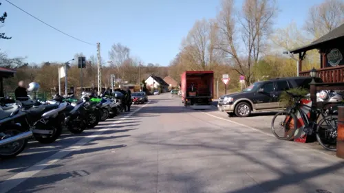
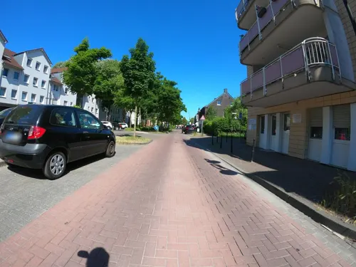
Pizzeria Gianni Rino
Restaurant · Italian · 3.1 km
246 Kirchhellener Straße, Bottrop
We-Fr 11:30-14:30,17:00-22:00; Tu,Sa,Su,PH 17:00-22:00
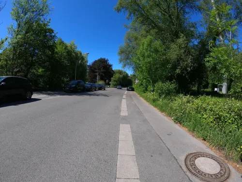
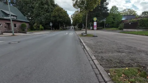
Brauhaus am Ring
Restaurant · 3.8 km
80, 82 Kirchhellener Ring, Bottrop
Mo-Fr 15:00-23:00; Sa,Su 11:00-23:00
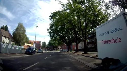
Bäckerei Sporkmann
Bakery · 3.5 km
51 Kirchhellener Straße, Gladbeck
Mo-Fr 06:00-18:00; Sa 06:00-13:00: Su 07:00-12:00

Nudelwelt im Haus May
Restaurant · Noodle, Pizza · 3.4 km
Tu-Fr 11:30-22:00; Sa 16:00-22:00; Su 13:00-22:00
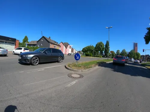
Sporkmann
Cafe · 2.9 km
268 Kirchhellener Straße, Bottrop
Mo-Fr 05:30-18:00; Sa 05:30-13:00; Su 07:00-12:00
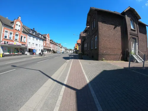
Sporkmann
Cafe · 3.8 km
197 Gladbecker Straße, Bottrop
Mo-Fr 06:00-18:00; Sa 06:00-13:00; Su 07:00-12:00
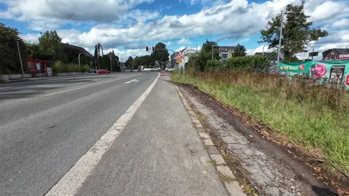
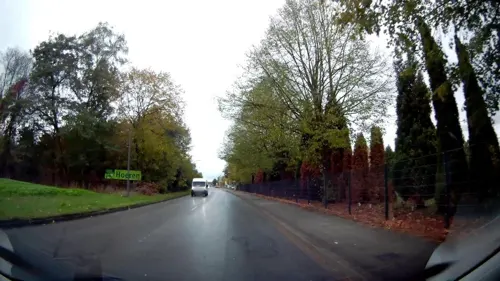
Restaurant Lezginka
Restaurant · Asian, Caucasian · 1.1 km
454 Hegestraße, Gladbeck
Tu-Th 17:00-23:00; Fr 12:00-24:00; Sa 00:00-01:00,12:00-24:00; Su...
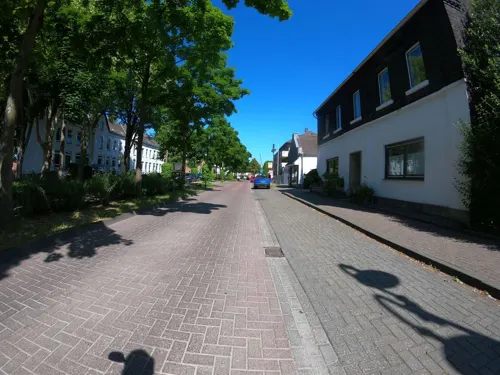


Shang Hai
Restaurant · Chinese · 3.2 km
244 Kirchhellener Straße, Bottrop
Tu-Sa 11:30-15:00,17:30-23:00; Mo off; Su,PH 12:00-22:30
48 more on the map.
Where to stay4
Churches and places of worship11
Liebfrauenkirche
Church · Roman Catholic · 3.5 km
76 Nordring, Bottrop
Sankt Johannes der Täufer - Kirchhellen
Church · Catholic · 3.8 km
11a Hauptstraße, Bottrop
Shopping21
Gas and EV charging9
Schools, colleges and libraries12
Healthcare8
Map of Grafenwald
185 places. The map loads OpenStreetMap tiles when you open it.
Getting there and nearby towns
Flughafen Essen-Mülheim (ESS) is the nearest airport with scheduled flights listed in OpenStreetMap, 19 km away.
- Bottrop 5 km south, about 5 min by car
- Gladbeck 5 km east, about 5 min by car
- Oberhausen 11 km south, about 11 min by car
- Dorsten 11 km north, about 11 min by car
- Dinslaken 12 km west, about 12 min by car
- Schermbeck 13 km north, about 13 min by car
- Essen 14 km southeast, about 14 min by car
- Gelsenkirchen 15 km southeast, about 15 min by car
- Marl 16 km northeast, about 16 min by car
- Herten 16 km east, about 16 min by car
Drive times are estimates from straight-line distance, not routes.
Local news
Headlines from INDB.
Reviews, tips and questions
Loading what members have shared...
Sources and licences
- GeoNames (CC BY 4.0): population, coordinates, regions and time zone
- Mapillary (see each image): photos
- OpenStreetMap contributors (ODbL 1.0): places, airports, map data
- Wikidata (CC0 1.0): elevation, founding date, time zone, website, landmarks and historic places
- Wikimedia Commons (see each image): photos
Photo credits
- Luftbild Bottrop-Grafenwald, Krd, CC BY-SA 4.0
- Heilige Familie Grafenwald Bottrop-0019, Dr. W. Strickling, CC BY-SA 4.0
- Gemeindezentrum Grafenwald Bottrop-0017, Dr. W. Strickling, CC BY-SA 4.0
- Heilige Familie Grafenwald Bottrop-0021, Dr. W. Strickling, CC BY-SA 4.0
- Heilige Familie Grafenwald Bottrop-0022, Dr. W. Strickling, CC BY-SA 4.0
- Heilige Familie Grafenwald Bottrop-0023, Dr. W. Strickling, CC BY-SA 4.0
- Taufbecken Grafenwald, Cosmo3null, CC BY-SA 4.0
- Heilige Familie Grafenwald Bottrop-0025, Dr. W. Strickling, CC BY-SA 4.0
- Eingangspforte moviepark, Schue~commonswiki, Public domain
- Schloss beck, Stefan Scheer, CC BY-SA 2.5
- Bottrop, Tetraeder -- 2019 -- 0242, Dietmar Rabich, CC BY-SA 4.0
- Bottrop - Halde Haniel (Halde Beckstraße) 01 ies, Frank Vincentz, CC BY-SA 3.0
- Kirchhellen St Johannes p1010493, Sinus, CC BY 3.0
- Liebfrauenkirche Bottrop, Turm, Bancun, CC BY-SA 4.0
- NSG Koellnischer Wald, 2, Grafenwald, Bottrop, GeorgDerReisende@Vicuna, CC BY-SA 4.0
- Naturschutzgebiet Quälingsbachaue Gladbeck 2, Pentaxian12, CC BY-SA 4.0
- St. Elisabeth Gladbeck Baudenkmal 60 Theresienstraße 2020-03-21 4238, Dr. W. Strickling, CC BY-SA 4.0
- BOT-Grafenmühle-Quellsee Rotbach, Dat doris, CC BY-SA 4.0
- Gladbeck - Industriestraße (Bottrop) - Halde Rheinbaben 11 ies, Frank Vincentz, CC BY-SA 3.0
- NSG Koellnischer Wald, 3, Grafenwald, Bottrop, GeorgDerReisende@Vicuna, CC BY-SA 4.0
- Bottrop (DE), Halde Haniel -- 2023 -- 0106-13, Anil Öztas, CC BY-SA 4.0
- Köllnischer Wald, Nwischermann, CC BY-SA 4.0
- BOT-Halde Schöttelheide 2019, Dat doris, CC BY-SA 4.0
- Bottrop Baudenkmal 91 Haus Maystrasse 12 0020, Dr. W. Strickling, CC BY-SA 4.0
- Luftbild Schacht Franz Haniel 2, Krd, CC BY-SA 4.0
- Luftbild Halde Haniel, Krd, CC BY-SA 4.0
- Luftbild Stenkhoff-Bad Bottrop, Krd, CC BY-SA 4.0
- Street-level photo, geogladbecker, CC BY-SA 4.0
- Street-level photo, geogladbecker, CC BY-SA 4.0
- Street-level photo, geogladbecker, CC BY-SA 4.0
- Street-level photo, geogladbecker, CC BY-SA 4.0
- Street-level photo, geogladbecker, CC BY-SA 4.0
- Street-level photo, geogladbecker, CC BY-SA 4.0
- Street-level photo, macronom, CC BY-SA 4.0
- Street-level photo, geogladbecker, CC BY-SA 4.0
- Street-level photo, geogladbecker, CC BY-SA 4.0
- Street-level photo, geogladbecker, CC BY-SA 4.0
- Street-level photo, geogladbecker, CC BY-SA 4.0
- Street-level photo, geogladbecker, CC BY-SA 4.0
- Street-level photo, geogladbecker, CC BY-SA 4.0
- Street-level photo, macronom, CC BY-SA 4.0
- Street-level photo, geogladbecker, CC BY-SA 4.0
- Street-level photo, poxonline, CC BY-SA 4.0
- Street-level photo, wladimir, CC BY-SA 4.0
- Street-level photo, geogladbecker, CC BY-SA 4.0
- Street-level photo, geogladbecker, CC BY-SA 4.0
- Street-level photo, thetornado76, CC BY-SA 4.0
- Street-level photo, geogladbecker, CC BY-SA 4.0
- Street-level photo, geogladbecker, CC BY-SA 4.0


Page built November 9, 2026. Spotted a mistake? Tell us or suggest a place.