


Gladbeck, Germany
Gladbeck is a town of 75,499 people in North Rhine-Westphalia, Germany.
Why visit Gladbeck
Townapedia lists 135 museums and landmarks, 35 parks and trails, 172 places to eat, 9 places to stay and 19 attractions in and around town.
Highlights include Movie Park Germany, Schloss Beck, Wasserschloss Wittringen and Seilscheibe.
Weather in Gladbeck
Forecast from MET Norway (CC BY 4.0). Full forecast
About Gladbeck
Gladbeck (German pronunciation: [ˈɡlatbɛk] ) is a town in the district of Recklinghausen in North Rhine-Westphalia, Germany.
From the Wikipedia article Gladbeck (this version), under CC BY-SA 4.0.
Photos of Gladbeck


Things to do19

Movie Park Germany
Monument and historic site · 5.6 km
Theme park in Bottrop, Germany


Tetrahedron in Bottrop
Monument and historic site · 5.2 km
Sculpture and observation tower in Bottrop


Vogelinsel
Zoo and aquarium · 1.3 km
Mar-Oct: Tu-Su 10:00-17:45; Mo,PH off

Liesenfeldhof
Farm and orchard · 3.6 km
37A Liesenfeldstraße
Mo-Th 09:30-12:00; Fr 09:30-17:00; Sa 09:30-14:00; Su,PH off
BratenMax-Partyservice
Farm and orchard · 2.5 km
117 Kösheide, Gladbeck
Tu-Fr 09:30-17:00; Sa 09:30-13:00
SB-Hofladen Overgünne
Farm and orchard · 1.4 km
51 Konrad-Adenauer-Allee, Gladbeck
24/7

7 more on the map.
Museums and landmarks135

Wasserschloss Wittringen
Monument and historic site · 1.3 km
64 Burgstraße, Gladbeck
Tu-Fr 12:00-23:00; Sa 11:00-23:00; PH,Su 11:00-22:00




6m-Seilscheibe der Zeche Hugo (gestiftet 1985)
Monument and historic site · 4.2 km
123 more on the map.
Parks, trails and playgrounds35



23 more on the map.
Restaurants and cafes172
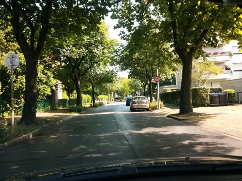
La Fiamma
Restaurant · Italian · 2.9 km
Neueröffnung 01.2016
290 Feldhauser Straße, Gladbeck
Mo-Su 12:00-22:30
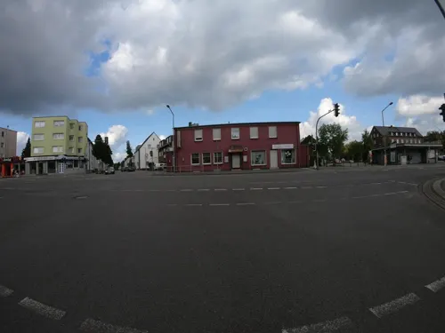
Pizzeria Grand Italia
Restaurant · Pizza, Burger, Italian, Indian, Grill, Dessert, Salad · 3.9 km
Pizzeria
22 Boyer Markt, Bottrop
Mo-Fr 11:30-15:30, Sa 11:30-22:30, Su 14:00-22:00
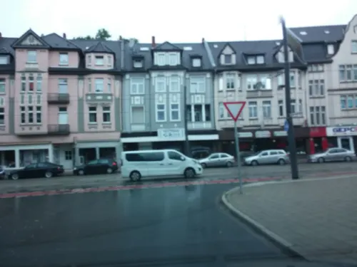
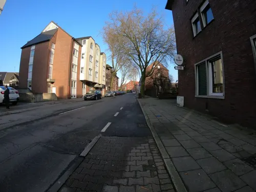
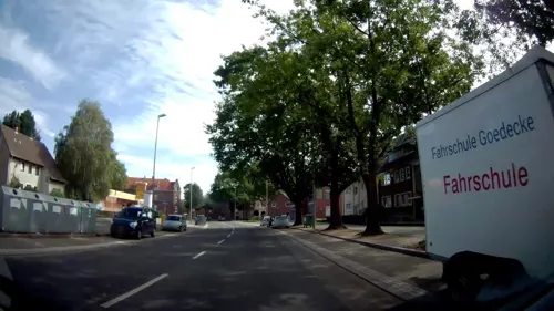
Bäckerei Sporkmann
Bakery · 1.9 km
51 Kirchhellener Straße, Gladbeck
Mo-Fr 06:00-18:00; Sa 06:00-13:00: Su 07:00-12:00
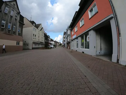
Bäckerei Sporkmann
Bakery · 4.1 km
26 Johannesstraße, Bottrop
Mo-Fr 05:00-18:00; Sa 05:00-13:00; Su 07:00-12:00
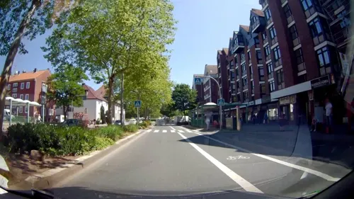

Artemis
Restaurant · Greek · 0.7 km
19-21 Marktstraße, Gladbeck
Mo-Sa 17:00-00:00, Su 12:00-15:00,17:00-00:00
Classic India Restaurant
Restaurant · Indian · 4.2 km
94 Horster Straße, Gelsenkirchen
Tu-Su 16:00-22:00
Ishita´s Indian Restaurant
Restaurant · Indian · 1.0 km
53 Möllerstraße, Gladbeck
Tu-Fr 16:00-22:00,Sa-Su 12:30-22:00,Mo off
Pomodoro
Restaurant · Pizza · 2.2 km
25 Beethovenstraße, Gladbeck
Mo-Su 15:00-21:00; Th off; Fr,Sa 15:00-21:00
160 more on the map.
History
Early archeological finds prove that the region of Gladbeck was already populated as early as 2000 BC. It was first mentioned in 1020 as Gladbeki and was originally a small village of 300 inhabitants. The village with its five peasantries (Butendorf, Brauck, Rentfort, Ellinghorst and Zweckel, now quarters of Gladbeck) was arranged around St. Lamberti cathedral.
From 1180 to 1802 Gladbeck belonged to the Vest Recklinghausen and was thus linked with the Electorate of Cologne. A certificate from 1236 mentions Knight Ludolfus de Wittering who is most likely to have erected Wittringen Castle around that time. Especially during the first years of the Thirty Years' War (1618–48) many cornfields in and around Gladbeck were destroyed by marauding soldiers. Additionally, the Black Death killed many inhabitants of Gladbeck during the Thirty Years' War.
At the 1815 Congress of Vienna the Kingdom of Prussia acquired the area and administered it within the Province of Westphalia. Before the Revolutions of 1848 there were three bad food crises in Gladbeck in 1816/17, 1830/31 and 1846/47. However, the "March Revolution" had no consequences on Gladbeck.
Read more of the history
Coal was found in the 1870s and the first coal was produced in 1878. Depending on additional workers, the coal mines attracted many people. Therefore, Gladbeck rapidly grew by immigration from surrounding Westphalia, the Rhine Province, and from the eastern provinces of Prussia including citizens with Polish as their native language.
The little village quickly turned into an establishment of industry and was given town privilege in July 1919. Also Gladbeck benefited from the general boom in the years 1925 to 1929 when important building projects were realised in spite of all troubles, such as the open-air bath as well as the stadium, in which Adolf Hitler delivered a speech in 1932.
As with all German towns, Gladbeck was brought into line after Adolf Hitler was named Reichskanzler. This took place under the earlier elected conservative mayor Bernhard Hackenberg, immediately joining the Nazi Party. In World War II Gladbeck was heavily damaged and around 43% of the buildings in the center were destroyed, making it as one of the most destroyed towns in the Ruhr Area. After the war the town became part of the new state of North Rhine-Westphalia.
During the 1960s the coal industry went into a substantial crisis, resulting in widespread unemployment. Apart from this Gladbeck's population reached 85,927 inhabitants in 1969, which is unique in the history of this town. Since the last coal mine was closed in 1971 Gladbeck is fighting against a high rate of unemployment, activating the structural change.
In the course of the communal realignment in North Rhine-Westphalia (1975) Gladbeck, original a county borough, and the village Kirchhellen were incorporated into the neighbouring town Bottrop. Opponents of the realignment criticized the low population density at the border between Gladbeck and Bottrop and emphasized that Bottrop was not much bigger than Gladbeck. "GlaBotKi is nich" (Glabotki is not) was their catchphrase. With the help of a court decision Gladbeck successfully left Bottrop, thereby cancelling the merger. Since July 1976 Gladbeck is part of the district of Recklinghausen.
On 16 August 1988, the town received international attention when two thieves robbed a branch of the Deutsche Bank in Gladbeck. They kidnapped two bank employees and held them hostage, along with 32 people in a transport bus in Bremen and drove through West Germany and the Netherlands. In what was called the Gladbeck hostage crisis, the crisis ended in just over 2 days, with one police officer and two victims dead, and the arrest of the three individuals (Hans-Jürgen Rösner & Dieter Degowski, along with Marion Löblich for her involvement in the crime as an accomplice).
From the History section of Gladbeck on Wikipedia, under CC BY-SA 4.0.
More about Gladbeck
Geography
Gladbeck is located in the northern part of the Ruhr Area and belongs to the so-called Emscherzone in which mining started late in relation to other towns of this area. Gladbeck is predominantly surrounded by Bottrop, Gelsenkirchen, Dorsten and by Essen in the south.
Arts and culture
The moated castle Wittringen houses the town's museum. It contains collections and exhibitions on the history of Gladbeck. The museum shows the development of the region from the geological origins of its rich coal supplies to the first inhabitants and the present days. A major exhibit is a skeleton of a bison found in the district of Brauck. Other exhibits are:
Moreover, the museum collects modern art, such as works by Joseph Beuys.
According to information of the town council 30,906 of 77,436 inhabitants were Catholics and 22,121 inhabitants were Protestants in December 2006. There are 11 churches, 5 are Protestant and 6 are Catholic.
In school pupils are allowed to choose between Catholic and Protestant lessons. Alternatively, pupils can be taught in Philosophy likewise if they want to. Visits to churches are included to the lessons in basic school. However, there is a Muslim minority in Gladbeck due to the immigration of the 1960s.
Several events, for example jazz festivals, take place regularly. There is also one library in Gladbeck and theater courses are normally offered in the three grammar schools. From time to time theater plays can be visited in the municipal hall, even well known plays like Emilia Galotti written by Gotthold Ephraim Lessing. There is one school of music where one can participate in different courses.
From the Wikipedia article Gladbeck, under CC BY-SA 4.0.
Notable people from Gladbeck
 Pierre-Michel LasoggaGerman association football playerPhoto: Amy.Leonie, CC BY 3.0
 Armin RohdeGerman actor (born 1955)Photo: Raimond Spekking, CC BY-SA 4.0
 Heinz WewersGerman footballer (1927-2008)Photo: Daan Noske / Anefo, CC0
 Jean Henri RiesenerGerman royal ébéniste (1734–1806)Photo: Antoine Vestier, Public domain
 Neele SchutenGerman athletics competitor and bobsledderPhoto: Sandro Halank , Wikimedia Commons, CC BY-SA 4.0
 Caroline Massonprofessional golferPhoto: Wojciech Migda ( Wmigda ), CC BY-SA 3.0
 Harald DeilmannGerman architect (1920–2008)Photo: Ms111111, CC BY-SA 3.0
- Julian DraxlerGerman association football player (born 1993)
- Joseph JadrejakFrench footballer (1918–1990)
- Annika DrazekGerman bobsledder and athletics competitor
- Helmut JanzWest German hurdler (1934–2000)
- Michael KrausGerman swimmer
Born in Gladbeck, according to Wikidata (CC0). Each name links to its Wikipedia article.
Where to stay9
Hotel-Restaurant Balkanhof
Motel and hotel · 4.2 km
182 Horster Straße, Gelsenkirchen
Hotel-Restaurant La Scala
Motel and hotel · 4.1 km
3 Schlesischer Ring, Gelsenkirchen
Churches and places of worship33
Heilig-Kreuz-Kirche
Church · Roman Catholic · 1.7 km
131-133 Horster Straße, Gladbeck
Herz Jesu
Church · Roman Catholic · 2.2 km
1 Zweckeler Platz, Gladbeck
St.Hippolytus
Church · Catholic · 4.5 km
11 Essener Straße, Gelsenkirchen
Evangelische Epiphanias Kirchengemeinde Gelsenkirchen - Gemeindehaus + Kirche Beckhausen (Christuskirche Beckhausen)
Church · Protestant · 4.5 km
7 Bergstraße, Gelsenkirchen
Shopping65
Gas and EV charging23
Rohsiepe Tank- und Waschcenter
Gas station · 4.0 km
32-34 Buer-Gladbecker-Straße, Gelsenkirchen
Schools, colleges and libraries55
Healthcare25
Map of Gladbeck
250 places. The map loads OpenStreetMap tiles when you open it.
Getting there and nearby towns
Flughafen Essen-Mülheim (ESS) is the nearest airport with scheduled flights listed in OpenStreetMap, 19 km away.
- Grafenwald 5 km west, about 5 min by car
- Bottrop 7 km southwest, about 7 min by car
- Dorsten 10 km north, about 10 min by car
- Gelsenkirchen 11 km southeast, about 11 min by car
- Herten 11 km east, about 11 min by car
- Marl 12 km northeast, about 12 min by car
- Essen 13 km south, about 13 min by car
- Oberhausen 13 km southwest, about 13 min by car
- Wattenscheid 15 km southeast, about 15 min by car
- Recklinghausen 15 km east, about 15 min by car
Drive times are estimates from straight-line distance, not routes.
Towns near Gladbeck


Keep exploring
Local news
Headlines from INDB.
Reviews, tips and questions
Loading what members have shared...
Sources and licences
- GeoNames (CC BY 4.0): population, coordinates, regions and time zone
- Mapillary (see each image): photos
- OpenStreetMap contributors (ODbL 1.0): places, airports, map data
- Wikidata (CC0 1.0): elevation, founding date, time zone, website, landmarks and historic places
- Wikimedia Commons (see each image): photos
- Wikipedia (CC BY-SA 4.0): overview and history text
Photo credits
- Gladbeck Monument 20 Finanzamt Jovyplatz 4-4274, W.Strickling, CC BY-SA 4.0
- Götterbaum, 1, Friedrichstraße, Mitte, Gladbeck, Landkreis Recklinghausen, GeorgDerReisende@Vicuna, CC BY-SA 4.0
- Japanische Zaubernuss, 1, Friedrichstraße, Mitte, Gladbeck, Landkreis Recklinghausen, GeorgDerReisende@Vicuna, CC BY-SA 4.0
- Gladbeck Monument 27 Haus Jovyplatz 18-4273, W.Strickling, CC BY-SA 4.0
- Gladbeck Monument 26 Haus Jovyplatz 16-4264, W.Strickling, CC BY-SA 4.0
- Gladbeck Monument 25 Haus Jovyplatz 14-4265, W.Strickling, CC BY-SA 4.0
- Gladbeck Monument 24 Haus Jovyplatz 12-4266, W.Strickling, CC BY-SA 4.0
- Gladbeck Monument 28 Haus Jovyplatz 20-4262, W.Strickling, CC BY-SA 4.0
- Gladbeck Monument 23 Haus Jovyplatz 10-4267, W.Strickling, CC BY-SA 4.0
- Gladbeck Monument 21 Polizeiamt Jovyplatz 6-4272, W.Strickling, CC BY-SA 4.0
- Gladbeck Monument 22 Haus Jovyplatz 8-4268, W.Strickling, CC BY-SA 4.0
- Gladbeck Monument 32 Haus Kortestr 1-3-4270, W.Strickling, CC BY-SA 4.0
- Gladbeck Monument 14 Villa Jovy (VHS)-4278, W.Strickling, CC BY-SA 4.0
- Gladbeck Monument 31 Haus Jovyplatz 26-4260, W.Strickling, CC BY-SA 4.0
- Gladbeck Monument 30 Haus Jovyplatz 24-4261, W.Strickling, CC BY-SA 4.0
- Gladbeck Monument 29 Haus Jovyplatz 22-4261, W.Strickling, CC BY-SA 4.0
- Gladbeck Monument 33 Haus Dorfheide 6-8 4259, W.Strickling, CC BY-SA 4.0
- Gladbeck Monument 54 Haus Dorfheide 10-3649, W.Strickling, CC BY-SA 4.0
- Eingangspforte moviepark, Schue~commonswiki, Public domain
- Schloss beck, Stefan Scheer, CC BY-SA 2.5
- Bottrop, Tetraeder -- 2019 -- 0242, Dietmar Rabich, CC BY-SA 4.0
- Gelsenkirchen - Nordsternpark - Kohlenbunker+Bandbrücke+Kohlenmischanlage (Pyramide) 03 ies, Frank Vincentz, CC BY-SA 3.0
- Wittringen2, Unknown author, CC BY-SA 3.0
- Gladbeck, St. Lamberti-Kirche, 2008-03, Ziko-C, CC BY-SA 3.0
- Gelsenkirchen - Halde Rungenberg 02 ies, Frank Vincentz, CC BY-SA 3.0
- Ggs im broemm, W.Honisch, CC BY-SA 2.5
- Halde scholven WH, Wolfgang H., CC BY-SA 3.0
- Heilig Kreuz-Kirche Gladbeck, David Wenderdel, CC BY-SA 4.0
- 2018-11 HGG 03, Ziko van Dijk, CC BY-SA 4.0
- Gladbeck, Ratsgymnasium, 2008-03, Ziko-C, CC BY-SA 3.0
- Haupteingang Riesener-Gymnasium, ProjektRGG, CC BY-SA 4.0
- Horst, kerk1 foto7 2011-04-10 14.11, Michielverbeek, CC BY-SA 3.0
- Eingang Stadtbuecherei Gladbeck, Stabi Glad, CC0
- NSG Rüden Heide, 1, Zweckel, Gladbeck, Landkreis Recklinghausen, GeorgDerReisende@Vicuna, CC BY-SA 4.0
- Naturschutzgebiet Quälingsbachaue Gladbeck 2, Pentaxian12, CC BY-SA 4.0
- Gladbeck Monument 49 Herz-Jesu-Kirche-4219, W.Strickling, CC BY-SA 4.0
- Gladbeck Monument 48 Christus-König-Kirche-4232, W.Strickling, CC BY-SA 4.0
- St. Johannes Bottrop-9279, Dr. W. Strickling, CC BY-SA 4.0
- Abraham Ady Scheiner, Vogelfreir, CC BY-SA 4.0
- Abraham Hirsch Kuflik, Vogelfreir, CC BY-SA 4.0
- Adolf Abraham Oppenheimer, Vogelfreir, CC BY-SA 4.0
- Albert Heumann, Vogelfreir, CC BY-SA 4.0
- Gladbeck - Industriestraße (Bottrop) - Halde Rheinbaben 11 ies, Frank Vincentz, CC BY-SA 3.0
- GE-Grenzgraben Scholven Breiker Hoefe, Dat doris, CC BY-SA 4.0
- Gladbeck - Welheimer Straße - NSG Natroper Feld 01 ies, Frank Vincentz, CC BY-SA 3.0
- Gladbeck - Freizeitstätte Wittringen - Schloss 06 ies, Frank Vincentz, CC BY-SA 3.0
- Gelsenkirchen Nordsternturm, Arnoldius, CC BY-SA 3.0
- Seilscheibe Göttelborn, LoKiLeCh, CC BY-SA 3.0
- Gelsenkirchen Monument 221 Kreuzkapelle Buer-0705, W.Strickling, CC BY-SA 4.0
- Street-level photo, geogladbecker, CC BY-SA 4.0
- Street-level photo, geogladbecker, CC BY-SA 4.0
- Street-level photo, geogladbecker, CC BY-SA 4.0
- Street-level photo, geogladbecker, CC BY-SA 4.0
- Street-level photo, geogladbecker, CC BY-SA 4.0
- Street-level photo, geogladbecker, CC BY-SA 4.0
- Street-level photo, geogladbecker, CC BY-SA 4.0
- Street-level photo, geogladbecker, CC BY-SA 4.0
- Street-level photo, geogladbecker, CC BY-SA 4.0
- Street-level photo, geogladbecker, CC BY-SA 4.0
- Street-level photo, geogladbecker, CC BY-SA 4.0
- Street-level photo, geogladbecker, CC BY-SA 4.0
- Street-level photo, geogladbecker, CC BY-SA 4.0
- Street-level photo, geogladbecker, CC BY-SA 4.0
- Street-level photo, geogladbecker, CC BY-SA 4.0
- Street-level photo, geogladbecker, CC BY-SA 4.0
- Street-level photo, geogladbecker, CC BY-SA 4.0


Page built November 9, 2026. Spotted a mistake? Tell us or suggest a place.