


Why visit Grasberg
Townapedia lists 30 museums and landmarks, 10 parks and trails, 56 places to eat, 16 places to stay and 4 attractions in and around town.
Highlights include Music Hall Worpswede, Weyerberg, Große Kunstschau Worpswede and Museum am Modersohn-Haus.
Weather in Grasberg
Forecast from MET Norway (CC BY 4.0). Full forecast
About Grasberg
Grasberg (German pronunciation: [ˈɡʁaːsbɛʁk]; Low German: Grasbarg) is a municipality in the district of Osterholz, in Lower Saxony, Germany. It is situated approximately 13 km southeast of Osterholz-Scharmbeck, and 20 km northeast of Bremen.
From the Wikipedia article Grasberg (this version), under CC BY-SA 4.0.
Things to do4


Museums and landmarks30

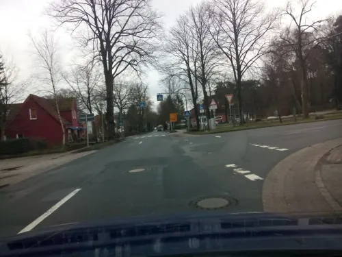

Worpsweder Kunsthalle
Museum · 5.7 km
17 Bergstraße, Worpswede
Tu-Su 10:00-18:00

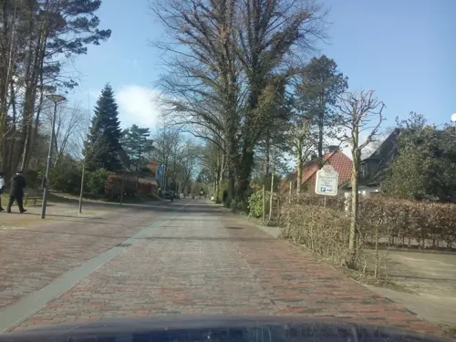
Galerie Altes Rathaus
Museum · 5.4 km
1 Bergstraße, Worpswede
Nov-Mar: Tu-Fr 14:00-17:00; Nov-Mar: Sa,Su 11:00-17:00; Apr-Oct:...


Käseglocke
Museum · 5.3 km
13 Lindenallee, Worpswede
Oct-Mar: Sa,Su 13:00-16:00; Apr-Sep: Sa,Su 13:00-17:00
Heinrich-Vogeler-Museum
Museum · 5.0 km
Mo-Su 10:00-18:00; Dec 25 off; Dec 24 off; Dec 31 off; Dec 26...



18 more on the map.
Parks, trails and playgrounds10




Restaurants and cafes56
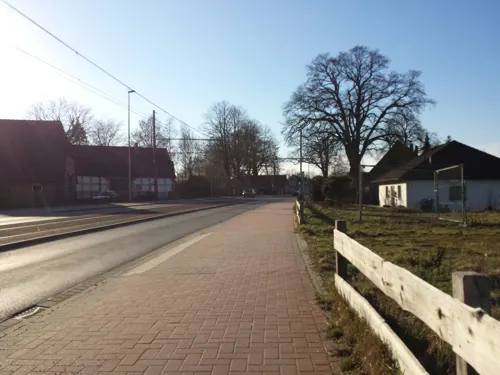
ASIA modern
Restaurant · Chinese · 4.6 km
84 Falkenberger Landstraße, Lilienthal
PH,Su 12:00-22:00; Mo-Sa 12:00-15:00,17:00-22:00; Tu off
Sonntag
Restaurant · Mediterranean · 6.0 km
26 Findorffstraße
Mo, We, Th, Su 17:30-21:00; Fr, Sa 17:30-22:00

Lisas Pattisserie
Cafe · 4.8 km
72 Falkenberger Landstraße, Lilienthal
We-Su 12:00-17:00; Sa 10:00-17:00; PH off
Bäckerei Rolf Cafe Schoofmoor
Bakery · 5.2 km
42 Falkenberger Landstraße, Lilienthal
Mo-Fr 06:00-17:00; Sa 06:00-17:00; Su 07:30-17:00



44 more on the map.
History
Before the cultivation and colonisation of the area comprising today's Grasberg, the landscape was dominated by moorlands. The area belonged to the Prince-Archbishopric of Bremen, established in 1180. By the Peace of Westphalia the Prince-Archbishopric was transformed into the Duchy of Bremen in 1648, which - together with the Principality of Verden - was first given as a prey for its participation in the Thirty Years' War to be ruled in personal union by the Swedish Crown. These two imperial fiefs to the Swedes are thus colloquially called Bremen-Verden.
After a Danish occupation (1712–1715) the Duchy of Bremen was sold to the House of Hanover, and thus became ruled in personal union with the Electorate of Hanover and the United Kingdom. It was Bremen-Verden's government which commissioned the drainage, cultivation and colonisation of the moorlands, first under the responsibility of Moor Commissioner Jürgen Christian Findorff (1720–1792).
In 1785-89 Findorff prompted - after his own design - the construction of the Lutheran church of today's Grasberg on a sandy grass-covered hill (c. 5 m above sea level), giving the name to Grasberg (literally in English: grass mount), serving as a parish church for 12 newly founded villages in the lower moorlands.
From the History section of Grasberg on Wikipedia, under CC BY-SA 4.0.
Where to stay16
Übernachtung im kleinen philosophischen Salon
Motel and hotel · 4.8 km
10 Heinrich-Vogeler-Weg, Worpswede
Churches and places of worship10
Kapelle Friedhof Lilienthal
Church · Lutheran · 6.2 km
4b Falkenberger Landstraße, Lilienthal
ChristusCentrum OASIS Lilienthal
Church · Pentecostal · 5.1 km
55-57 Goebelstraße, Lilienthal
Freie Evangelische Gemeinde
Church · Evangelical · 5.4 km
43 Falkenberger Landstraße, Lilienthal
Shopping24
Gas and EV charging8
Schools, colleges and libraries11
Diakonisches Ausbildungs-Centrum der Diakonischen Altenhilfe gGmbH
School · 6.5 km
10 An der Martinskirche, Lilienthal
Healthcare3
Map of Grasberg
172 places. The map loads OpenStreetMap tiles when you open it.
Getting there and nearby towns
Bremen Airport (BRE) is the nearest airport with scheduled flights listed in OpenStreetMap, 20 km away.
- Worpswede 6 km northwest, about 6 min by car
- Lilienthal 7 km southwest, about 7 min by car
- Osterholz-Scharmbeck 14 km west, about 14 min by car
- Ottersberg 14 km southeast, about 14 min by car
- Oyten 14 km south, about 14 min by car
- Bremen 17 km southwest, about 17 min by car
- Ritterhude 17 km west, about 17 min by car
- Hambergen 17 km northwest, about 17 min by car
- Sottrum 18 km southeast, about 18 min by car
- Achim 19 km south, about 19 min by car
Drive times are estimates from straight-line distance, not routes.
Local news
Headlines from INDB.
Reviews, tips and questions
Loading what members have shared...
Sources and licences
- GeoNames (CC BY 4.0): population, coordinates, regions and time zone
- Mapillary (see each image): photos
- OpenStreetMap contributors (ODbL 1.0): places, airports, map data
- Wikidata (CC0 1.0): elevation, founding date, time zone, website, landmarks and historic places
- Wikimedia Commons (see each image): photos
- Wikipedia (CC BY-SA 4.0): overview and history text
Photo credits
- Kirche Grasberg 3, ClausNe, CC BY-SA 4.0
- Kirche Grasberg 2, ClausNe, CC BY-SA 4.0
- Kirche Grasberg 1, ClausNe, CC BY-SA 4.0
- Wörpe-Grasberg, NaturalBornKieler ( Diskussion ) 22:48, 8. Sep. 2015 (CEST), CC BY-SA 3.0 de
- Grasberger Schiffgraben (Saatmoorgraben), Smarties, CC BY-SA 4.0
- Grasbergchurch-2, Grasbergchurch.jpg : Pax:Vobiscum derivative work: Regi51 ( talk ), CC BY-SA 3.0
- Zionskirche Worpswede South, picture: user:Concord, CC BY-SA 4.0
- Pfad in der Westlichen Hälfte des Langen Moores, AchtungBetreten, CC0
- Kaeseglocke, Unknown author, CC BY-SA 3.0
- 2020-09-14 Worpswede kath Kirche Maria Frieden (2), Eduard47, CC BY-SA 4.0
- Worpsweder Kunsthalle Friedrich Netzel Fassade, Axel Hindemith, CC BY-SA 4.0
- Worpswede Barkenhoff, Till F. Teenck, CC BY-SA 2.5
- Haus im Schluh, Alinea, Public domain
- Gymnasium Lilienthal, Marlon Bellmann, CC BY-SA 4.0
- Niedersachsenstein Worpswede, Till F. Teenck, CC BY-SA 2.5
- Käseglocke 2, Gebäude: Bruno Taut, Foto: Jan Zecher, CC BY 3.0
- Kapelle Maria Frieden Außenaufnahme, SMeyer, CC BY-SA 4.0
- Moorender Durchstich (Tüschendorf-Worphauser Graben), Smarties, CC BY-SA 4.0
- Wörpedorfer Schiffgraben (Tüschendorf-Worphauser Graben), Smarties, CC BY-SA 4.0
- Tüschendorf-Worphauser Graben (Wörpe), Smarties, CC BY-SA 4.0
- 2020-09-14 Worpswede Galerie Cohrs Zirus (5), Eduard47, CC BY-SA 4.0
- Street-level photo, manfredi, CC BY-SA 4.0
- Street-level photo, hubert87, CC BY-SA 4.0
- Street-level photo, hubert87, CC BY-SA 4.0
- Street-level photo, geogast, CC BY-SA 4.0
- Street-level photo, Karinaclang, CC BY-SA 4.0
- Street-level photo, geogast, CC BY-SA 4.0
- Street-level photo, geogast, CC BY-SA 4.0
- Street-level photo, live, CC BY-SA 4.0
- Street-level photo, manfredi, CC BY-SA 4.0
- Street-level photo, manfredi, CC BY-SA 4.0
- Street-level photo, StefanS79, CC BY-SA 4.0
- Street-level photo, manfredi, CC BY-SA 4.0
- Street-level photo, geogast, CC BY-SA 4.0
- Street-level photo, live, CC BY-SA 4.0
- Street-level photo, geogast, CC BY-SA 4.0
- Street-level photo, live, CC BY-SA 4.0
- Street-level photo, live, CC BY-SA 4.0
- Street-level photo, StefanS79, CC BY-SA 4.0
- Street-level photo, geogast, CC BY-SA 4.0
- Street-level photo, manfredi, CC BY-SA 4.0
- Street-level photo, live, CC BY-SA 4.0
- Street-level photo, StefanS79, CC BY-SA 4.0


Page built November 9, 2026. Spotted a mistake? Tell us or suggest a place.