


Why visit Ottersberg
Townapedia lists 20 museums and landmarks, 11 parks and trails, 73 places to eat, 10 places to stay and 5 attractions in and around town.
Highlights include Brünings Scheune, Parzivalhof, Jüdischer Friedhof Otterstedt and Otto-Modersohn-Museum.
Weather in Ottersberg
Forecast from MET Norway (CC BY 4.0). Full forecast
About Ottersberg
Ottersberg (German pronunciation: [ˈɔtɐsbɛʁk]; Low German: Otterbarg) is a municipality in the district of Verden, in Lower Saxony, Germany. It is situated approximately 20 km north of Verden, and 28 km east of Bremen.
From the Wikipedia article Ottersberg (this version), under CC BY-SA 4.0.
Things to do5


Museums and landmarks20


Otto-Modersohn-Museum
Museum · 4.2 km
95 In der Bredenau, Ottersberg
Mo-Su 10:00-18:00; Dec 24,25,31 off
Ausstellung Kunstverein Fischerhude
Museum · 6.0 km
2 Im Krummen Ort, Ottersberg
Tu-Sa 14:30-17:30, Su 11:30-17:30
Heimathaus Irmintraut
Museum · 6.0 km
2 Kirchstraße, Ottersberg
Fr-Mo 11:00-13:00,15:00-17:00




8 more on the map.
Parks, trails and playgrounds11



Restaurants and cafes73

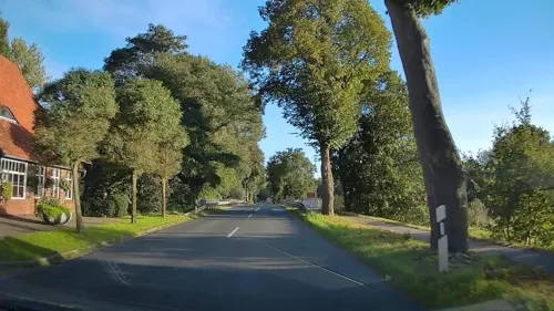
Kaisers Gasthaus an der Wümme
Restaurant · German, Regional · 6.8 km
1 Dorfstraße, Hellwege
Mo 17:00+; Fr 17:00+; Sa 17:00+; Su 12:00+
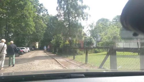
Körber's Gasthof
Restaurant · German · 5.9 km
1 Im Krummen Ort, Ottersberg
Mo off; Su 10:30+; Sa 12:00+; Tu-Fr 12:00+,17:30+
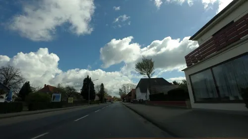
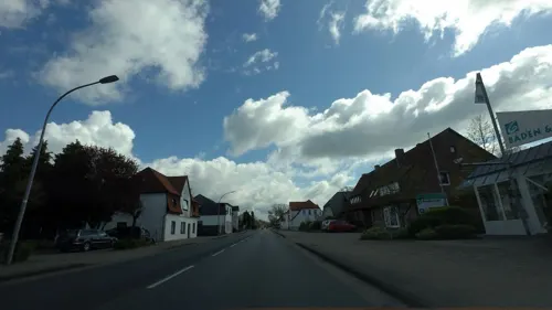
Restaurant Lemonia
Restaurant · Greek
33 Große Straße, Ottersberg
Tu-Th 17:30-22:30; Fr,Sa 17:30-23:30; Su 12:00-21:00
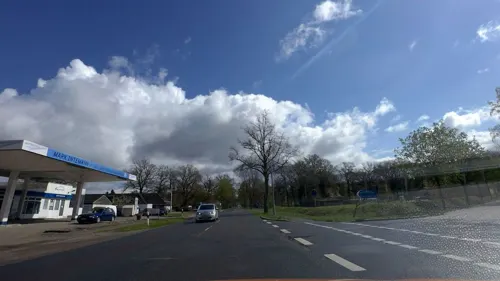
Restaurant Mitsopoulos
Restaurant · Greek · 2.5 km
2 Mühlenstraße, Sottrum
17:30-23:00; Sa-Su 12:00-14:30,17:30-23:00
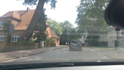
Ristorante Mamma Leone - Fischerhude
Restaurant · Italian, Greek · 6.1 km
9 Landstraße, Ottersberg
Tu-Su 11:00-22:00
Zuhausmannskost Sottrum
Restaurant · German · 5.7 km
15 Große Straße, Sottrum
Th 17:00-21:00; Fr 17:00-22:00; Sa 17:00-00:00; Su 15:00-21:00
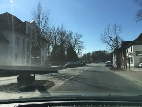

Bäckerei + Cafe Holste
Bakery · 5.4 km
13 Am Eichkamp, Sottrum
Mo-Fr 05:15-18:00; Sa 05:15-13:00; Su 07:00-11:00
Bäckerei Fricke
Bakery · 5.6 km
1 Kirchstraße, Sottrum
Tu-Fr 05:30-18:00; Sa 05:30-12:00; Su 07:00-12:00
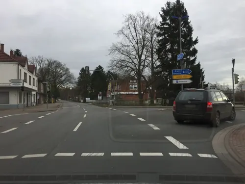


Dachgarten Restaurant
Restaurant · Regional, Burger, German, Ice Cream, Coffee Shop, Seafood · 6.0 km
Mo-Sa 09:30-20:00
61 more on the map.
History
Ottersberg belonged - as to its government - to the Prince-Archbishopric of Bremen, established in 1180. In religious respect, however, Ottersberg formed part of the Roman Catholic Diocese of Verden until after 1566 its incumbent bishops lost papal recognition, except for a last Catholic bishop from 1630 to 1631, respectively. In 1648 the Prince-Archbishopric was transformed into the Duchy of Bremen - Verden. which was first ruled in personal union by the Swedish Crown - interrupted by a Danish occupation (1712–1715) - and from 1715 on by the Hanoverian Crown. The Kingdom of Hanover incorporated the Duchy in a real union and the Ducal territory became part of the new Stade Region, established in 1823.
From the History section of Ottersberg on Wikipedia, under CC BY-SA 4.0.
Where to stay10
Churches and places of worship12
Shopping23
Gas and EV charging17
Schools, colleges and libraries14
Morgenstern Grundschule Sottrum - Außenstelle der Grundschule am Eichkamp
School · 6.5 km
11 Schillerstraße, Sottrum
Healthcare5
Map of Ottersberg
190 places. The map loads OpenStreetMap tiles when you open it.
Getting there and nearby towns
Bremen Airport (BRE) is the nearest airport with scheduled flights listed in OpenStreetMap, 25 km away.
- Oyten 10 km southwest, about 10 min by car
- Verden 22 km south, about 22 min by car
- Bremen 23 km west, about 23 min by car
- Kirchlinteln 22 km southeast, about 22 min by car
- Zeven 22 km north, about 22 min by car
- Scheeßel 23 km east, about 23 min by car
- Stuhr 28 km west, about 28 min by car
- Ritterhude 29 km west, about 29 min by car
- Syke 31 km southwest, about 31 min by car
- Visselhövede 32 km southeast, about 32 min by car
Drive times are estimates from straight-line distance, not routes.
Local news
Headlines from INDB.
Reviews, tips and questions
Loading what members have shared...
Sources and licences
- GeoNames (CC BY 4.0): population, coordinates, regions and time zone
- Mapillary (see each image): photos
- OpenStreetMap contributors (ODbL 1.0): places, airports, map data
- Wikidata (CC0 1.0): elevation, founding date, time zone, website
- Wikimedia Commons (see each image): photos
- Wikipedia (CC BY-SA 4.0): overview and history text
Photo credits
- Otterbarg Raathuus - Casa de la Vila, flamenc, CC BY-SA 3.0
- St Christopher church in Ottersberg (1), Krzysztof Golik, CC BY-SA 4.0
- St Christopher church in Ottersberg (8), Krzysztof Golik, CC BY-SA 4.0
- St Christopher church in Ottersberg (2), Krzysztof Golik, CC BY-SA 4.0
- St Christopher church in Ottersberg (3), Krzysztof Golik, CC BY-SA 4.0
- St Christopher church in Ottersberg (7), Krzysztof Golik, CC BY-SA 4.0
- Höhenmarke Ottersberg Kirche Turm, Ulrich Kulle, CC BY-SA 4.0
- St Christopher church in Ottersberg (5), Krzysztof Golik, CC BY-SA 4.0
- St Christopher church in Ottersberg (6), Krzysztof Golik, CC BY-SA 4.0
- Kirche Ottersberg, ClausNe, CC BY-SA 4.0
- St Christopher church in Ottersberg (4), Krzysztof Golik, CC BY-SA 4.0
- Gruene Strasse 13 in Ottersberg, Krzysztof Golik, CC BY-SA 4.0
- Polizeiwache Ottersberg in Niedersachsen, flamenc, CC BY-SA 3.0
- Sportzentrum Ottersberg sanitary dump station, Elgaard, CC BY 4.0
- Wohnmobil-Stellplatz Sportzentrum Ottersberg 02, Elgaard, CC BY 4.0
- Wohnmobil-Stellplatz Sportzentrum Ottersberg 01, Elgaard, CC BY 4.0
- Jüdischer Friedhof Otterstedt, Tom Schlansky, CC BY-SA 3.0
- Kirche zu Sottrum, GlockenHenry, CC BY-SA 4.0
- Fischerhude Liebfrauenkirche, Fischerhude_Church04_msu.jpg : Matthias Süßen derivative work: Rabanus Flavus, CC BY 3.0
- Otterstedt op 93, Rudolf Janke, CC BY 3.0
- QuelkhornerMuehle, Kai Kowalewski, CC BY-SA 2.0 de
- Wassermühle Stuckenborstel, Wusel007, CC BY-SA 3.0
- Wümme-Wehr IV, smarties, CC BY-SA 4.0
- Sottrum St Georg, Alfred Löhr, CC BY-SA 4.0
- Otterbarg Kark - església, flamenc, CC BY-SA 3.0
- Wümme - Nordarm (Wümme), smarties, CC BY-SA 4.0
- Dunzelbach (Wümme - Nordarm), smarties, CC BY-SA 4.0
- Steinlake (Wümme - Nordarm), smarties, CC BY-SA 4.0
- Otterbarg Amtshoff2, flamenc, CC BY-SA 3.0
- Otterbarg Amtshoff, flamenc, CC BY-SA 3.0
- Dunzelbach (Wümme - Nordarm) 002, smarties, CC BY-SA 4.0
- Schlaustreek (Klosterwahrlaake), smarties, CC BY-SA 4.0
- Lütjestreek (Schlaustreek), smarties, CC BY-SA 4.0
- Xanthoria calcicola 353586098, Tim Parker, CC BY 4.0
- Street-level photo, moenk, CC BY-SA 4.0
- Street-level photo, moenk, CC BY-SA 4.0
- Street-level photo, hotteliene, CC BY-SA 4.0
- Street-level photo, moenk, CC BY-SA 4.0
- Street-level photo, xdTAGCLAN, CC BY-SA 4.0
- Street-level photo, live, CC BY-SA 4.0
- Street-level photo, live, CC BY-SA 4.0
- Street-level photo, hendel, CC BY-SA 4.0
- Street-level photo, moenk, CC BY-SA 4.0
- Street-level photo, moenk, CC BY-SA 4.0
- Street-level photo, xdTAGCLAN, CC BY-SA 4.0
- Street-level photo, xanu, CC BY-SA 4.0
- Street-level photo, hotteliene, CC BY-SA 4.0
- Street-level photo, moenk, CC BY-SA 4.0
- Street-level photo, ma_rt_in, CC BY-SA 4.0
- Street-level photo, xanu, CC BY-SA 4.0
- Street-level photo, abausd, CC BY-SA 4.0
- Street-level photo, abausd, CC BY-SA 4.0
- Street-level photo, hendel, CC BY-SA 4.0
- Street-level photo, heetENkoel, CC BY-SA 4.0
- Street-level photo, live, CC BY-SA 4.0
- Street-level photo, Schmarvis, CC BY-SA 4.0


Page built November 8, 2026. Spotted a mistake? Tell us or suggest a place.