


Why visit Greetsiel
Townapedia lists 16 museums and landmarks, 7 parks and trails, 43 places to eat, 13 places to stay and 5 attractions in and around town.
Highlights include Pilsumer Leuchtturm, Pilsum Lighthouse, Nationalpark-Haus and Sieltor.
Weather in Greetsiel
Forecast from MET Norway (CC BY 4.0). Full forecast
About Greetsiel
Greetsiel is a small port on the bight of Leybucht in western East Frisia, Germany, that was first documented in letters from the year 1388. Since 1972, Greetsiel has been part of the municipality of Krummhörn, which has its administrative seat in Pewsum. The nearest railway station is at Emden, about 15–20 kilometres (9.3–12.4 mi) away, and the two towns are linked by a bus service.
From the Wikipedia article Greetsiel (this version), under CC BY-SA 4.0.
Things to do5

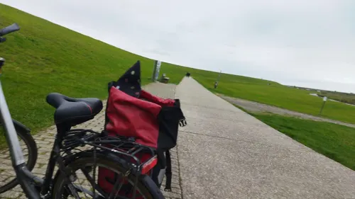
Pilsum Lighthouse
Lighthouse · 3.2 km
Lighthouse in red and yellow in Lower Saxony, Germany


Museums and landmarks16

Nationalpark-Haus
Museum
11 Zur Hauener Hooge, Krummhörn
Apr-Oct Mo-Fr 10:00-18:00; Sa,Su 10:00-13:00; PH 10:00-17:00
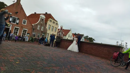

Stockanker
Monument and historic site
Ankerdenkmal. Der imposante Stockanker ist aus der Zeit um 1750 und wurde vom Fischer Fritz Weber mit dem Kutter "Emsstrom" gefunden.

Historischer Anker
Monument and historic site
Alter Anker vom Fischereiverein Greetsiel von 1919
4 more on the map.
Parks, trails and playgrounds7



Restaurants and cafes43
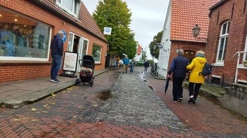
1820 Café Bistro
Cafe · Fish, Fries, Pizza
Since Summer 2024
12 Mühlenstraße, Krummhörn
Mo, We-Su 11:00-22:00; Tu off
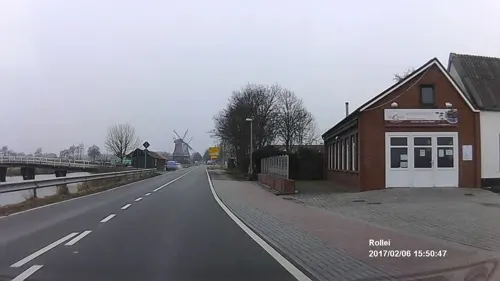
Fischrestaurant de Beer
Restaurant · German, Seafood · 0.9 km
1d An den Darren, Krummhörn
Mo-Su 09:00-18:00
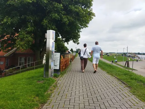

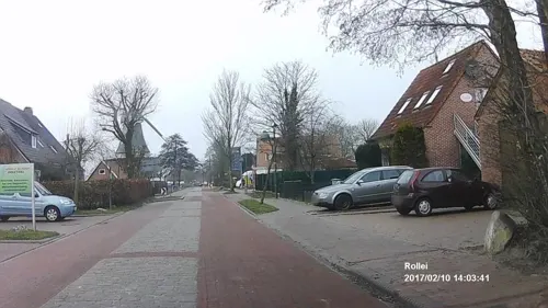
Seestern Biergarten
Restaurant · Regional
5 Hohe Straße, Krummhörn
Apr-Oct 10:00-21:00; Nov-Mar 11:00-21:00
Hofcafé und Ferienhof Akkens
Restaurant · 1.7 km
1 Akkenser Weg, Krummhörn
Apr-Sep Mo,Tu off, We-Su 11:00-17:00
Alte Brauerei
Restaurant · 2.8 km
2 An der Alten Brauerei, Krummhörn
We-Su,PH 12:00-14:00,18:00-21:00; Mo,Tu off
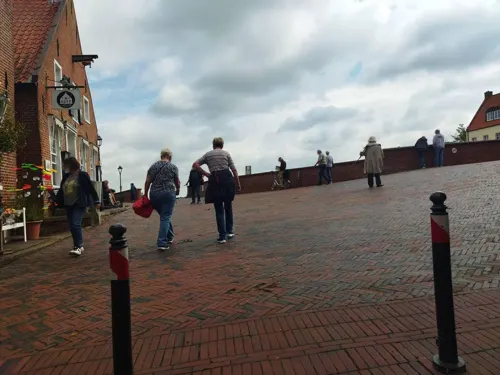
Eiscafe am Hafen
Cafe · Ice Cream
17 Sielstraße, Krummhörn
Mo-Su 10:00-18:00, "bei Bedarf bis 22:00"


31 more on the map.
History
Greetsiel is first mentioned in the records in letters dating to the year 1388 (Ocko I tom Brok). At that time, Hamburg's ships lay at anchor in the port of Greetsiel and had to pay tariffs.
The place was founded by the Domain of Appingen under the chiefs of Cirksena. While Appingen increasingly lost its importance, Greetsiel became the seat of the chief. In 1462 Count Edzard the Great was born at the Cirksenaburg; under his rule East Frisia extended from the River Weser as far as Groningen. In 1547 Ubbo Emmius was born here. On old Dutch maps the town is marked as Grietjezijl.
In creating the municipality of Krummhörn in 1972, a debate erupted over whether the administrative headquarters should be Pewsum or Greetsiel. Because Greetsiel was a more isolated location, Pewsum was preferred.
From the History section of Greetsiel on Wikipedia, under CC BY-SA 4.0.
Where to stay13
Churches and places of worship5
Shopping13
Gas and EV charging1
Schools, colleges and libraries2
Healthcare1
Map of Greetsiel
106 places. The map loads OpenStreetMap tiles when you open it.
Getting there and nearby towns
Flugplatz Emden (EME) is the nearest airport with scheduled flights listed in OpenStreetMap, 15 km away.
- Pewsum 8 km south, about 8 min by car
- Norden 13 km northeast, about 13 min by car
- Hinte 13 km southeast, about 13 min by car
- Norddeich 13 km north, about 13 min by car
- Emden 17 km southeast, about 17 min by car
- Moordorf 20 km east, about 20 min by car
- Norderney 23 km north, about 23 min by car
- Aurich 26 km east, about 26 min by car
- Veenhusen 35 km southeast, about 35 min by car
- Leer 39 km southeast, about 39 min by car
Drive times are estimates from straight-line distance, not routes.
Local news
Headlines from INDB.
Reviews, tips and questions
Loading what members have shared...
Sources and licences
- GeoNames (CC BY 4.0): population, coordinates, regions and time zone
- Mapillary (see each image): photos
- OpenStreetMap contributors (ODbL 1.0): places, airports, map data
- Wikidata (CC0 1.0): elevation, founding date, time zone, website, landmarks and historic places
- Wikimedia Commons (see each image): photos
- Wikipedia (CC BY-SA 4.0): overview and history text
Photo credits
- Greetsiel Krabbenkutter Hafen, Benreis, CC BY 3.0
- Greetsieler Kirche 2010, kaʁstn Disk / Cat, CC BY-SA 3.0 de
- Pano Greetsiel - panoramio, Marco Roepers, CC BY-SA 3.0
- Steinhaus Greetsiel (Krummhörn) IMG 6491, Losch, CC BY-SA 3.0
- Nee Greetsieler Sieldeep, flamenc, CC BY-SA 3.0
- Bücherschrank Greetsiel, Clic, CC BY-SA 4.0
- Krummhörn, Greetsiel, Evangelisch-reformierte Kirche -- 2018 -- 1134, Dietmar Rabich, CC BY-SA 4.0
- Krummhörn, Greetsiel, Evangelisch-reformierte Kirche -- 2018 -- 1132, Dietmar Rabich, CC BY-SA 4.0
- Krummhörn, Greetsiel, Evangelisch-reformierte Kirche -- 2025 -- 9818, Dietmar Rabich, CC BY-SA 4.0
- Krummhörn, Greetsiel, Evangelisch-reformierte Kirche, Glocke -- 2025 -- 9823, Dietmar Rabich, CC BY-SA 4.0
- Kirche Greetsiel msu-0081, User:Matthias Süßen, CC BY-SA 3.0
- Krummhörn, Greetsiel, Evangelisch-reformierte Kirche -- 2025 -- 9825, Dietmar Rabich, CC BY-SA 4.0
- Krummhörn, Greetsiel, Evangelisch-reformierte Kirche, Glocke -- 2025 -- 9827, Dietmar Rabich, CC BY-SA 4.0
- Kirche Greetsiel msu-0088, User:Matthias Süßen, CC BY-SA 3.0
- Kirche Greetsiel msu-0089, User:Matthias Süßen, CC BY-SA 3.0
- Kirche Greetsiel msu-0086, User:Matthias Süßen, CC BY-SA 3.0
- Grabstein für "Eilt" und "Rinste" in Greetsiel (2024), JoachimKohler-HB, CC BY-SA 4.0
- Krummhörn, Greetsiel, Evangelisch-reformierte Kirche -- 2018 -- 1135, Dietmar Rabich, CC BY-SA 4.0
- El «siel» de Greetsiel, flamenc, CC BY-SA 3.0
- Greetsiel, Gemeinde Krummhörn, alte Gasse mit Hotel Witthus - panoramio, HansPeter, CC BY 3.0
- Hotel Witthus in Greetsiel - panoramio, HansPeter, CC BY 3.0
- Greetsiel - panoramio, karl_heinz_spock, CC BY-SA 3.0
- Steinhaus Greetsiel (Krummhörn) IMG 6489, Losch, CC BY-SA 3.0
- Steinhaus Greetsiel (Krummhörn) IMG 6531, Losch, CC BY-SA 3.0
- Greetsiel Hafen (2007), Jochen Teufel, CC BY-SA 3.0
- Krummhörn, Greetsiel, Hafen -- 2018 -- 1137, Dietmar Rabich, CC BY-SA 4.0
- Krummhörn, Greetsiel, Hafen -- 2018 -- 1138, Dietmar Rabich, CC BY-SA 4.0
- Krummhörn, Greetsiel, Hafen -- 2018 -- 1116, Dietmar Rabich, CC BY-SA 4.0
- Krabbenkutter in Greetsiel (2014), JoachimKohler-HB, CC BY-SA 4.0
- Krummhörn, Greetsiel, Hafen, 2010-06 CN-02, kaʁstn Disk / Cat, CC BY-SA 3.0
- Greetsieler Hafen, Abend 2010, kaʁstn Disk / Cat, CC BY-SA 3.0 de
- Krummhörn, Greetsiel, 2010-06 CN-02, kaʁstn Disk / Cat, CC BY-SA 3.0 de
- Krummhörn, Greetsiel, Sielstraße 15 -- 2025 -- 9815, Dietmar Rabich, CC BY-SA 4.0
- Krummhörn, Greetsiel, Sielstraße 15 -- 2025 -- 9814, Dietmar Rabich, CC BY-SA 4.0
- Krummhörn, Greetsiel, 2010-06 CN-01, kaʁstn Disk / Cat, CC BY-SA 3.0
- Krummhörn, Greetsiel, Sielstraße -- 2018 -- 1130, Dietmar Rabich, CC BY-SA 4.0
- Hafen in Greetsiel (Krummhörn) IMG 6623, Losch, CC BY-SA 3.0
- Kloster Appingen-CN, Kloster_appingen.jpg : Matthias Süßen derivative work: kaʁstn Disk / Cat, CC BY 3.0
- Pilsumer Kirche 2010, kaʁstn Disk / Cat, CC BY-SA 3.0 de
- J38 476 Pilsumer Leuchtturm, Falk2, CC BY-SA 4.0
- ChurchVisquard, Frisia Orientalis, CC BY-SA 3.0
- Hohes Haus-0091, User:Matthias Süßen, CC BY-SA 3.0
- Neue Glocken im Glockenturm, alte Glocke auf dem Friedhof von Greetsiel - panoramio, HansPeter, CC BY 3.0
- Street-level photo, changchun1, CC BY-SA 4.0
- Street-level photo, changchun1, CC BY-SA 4.0
- Street-level photo, sennewald63, CC BY-SA 4.0
- Street-level photo, sennewald63, CC BY-SA 4.0
- Street-level photo, sennewald63, CC BY-SA 4.0
- Street-level photo, changchun1, CC BY-SA 4.0
- Street-level photo, changchun1, CC BY-SA 4.0
- Street-level photo, heetENkoel, CC BY-SA 4.0
- Street-level photo, changchun1, CC BY-SA 4.0
- Street-level photo, changchun1, CC BY-SA 4.0
- Street-level photo, herrmannt, CC BY-SA 4.0
- Street-level photo, sennewald63, CC BY-SA 4.0
- Street-level photo, changchun1, CC BY-SA 4.0
- Street-level photo, changchun1, CC BY-SA 4.0
- Street-level photo, changchun1, CC BY-SA 4.0
- Street-level photo, sennewald63, CC BY-SA 4.0
- Street-level photo, changchun1, CC BY-SA 4.0
- Street-level photo, sennewald63, CC BY-SA 4.0
- Street-level photo, sennewald63, CC BY-SA 4.0
- Street-level photo, changchun1, CC BY-SA 4.0
- Street-level photo, changchun1, CC BY-SA 4.0
- Street-level photo, changchun1, CC BY-SA 4.0
- Street-level photo, sennewald63, CC BY-SA 4.0


Page built November 9, 2026. Spotted a mistake? Tell us or suggest a place.