


Why visit Moordorf
Townapedia lists 3 museums and landmarks, 5 parks and trails, 13 places to eat, 1 place to stay and 2 attractions in and around town.
Highlights include Moormuseum Moordorf and Upstalsboom.
Weather in Moordorf
Forecast from MET Norway (CC BY 4.0). Full forecast
About Moordorf
Moordorf is an East Frisian village in Lower Saxony, Germany. It is both the highest and most densely populated Ortsteil of the municipality of Südbrookmerland, in the district of Aurich. Originally, Moordorf was a linear village but developed into a dispersed settlement due to the designation of new building areas.
From the Wikipedia article Moordorf, Lower Saxony (this version), under CC BY-SA 4.0.
Things to do2


Museums and landmarks3

Moormuseum Moordorf
Museum · 1.6 km
7a Victorburer Moor, Südbrookmerland
Mar 20-Oct 31 10:00-18:00; Nov Mo-Fr 09:00-13:00


Parks, trails and playgrounds5

Schwimmbad Südbrookmerland
Sports field and stadium · 0.9 km
13 Schultrift, Südbrookmerland


Restaurants and cafes13
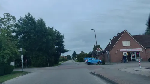
Pizzzeria Moordorf
Restaurant · Pizza · 1.0 km
43 Moorweg, Südbrookmerland
Mo-Fr 12:00-14:00,17:00-23:00; Sa,Su 12:00-23:00

Biyan Grill
Restaurant
24 Bürgermeister-Lüken-Platz, Südbrookmerland
Mo,We-Sa 16:00-23:00; Su,PH 13:00-23:00; Tu off


Restaurant Bollywood
Restaurant · Regional, Indian · 1.1 km
51 Neue Straße, Südbrookmerland
Tu-Fr 17:00-22:00; Sa 17:00-23:00; Su 12:00-22:00
Cachu
Restaurant
5 Bürgermeister-Lüken-Platz, Südbrookmerland
Tu-Su,PH 12:00-14:30,17:00-22:00
Torfhuus
Restaurant · Coffee Shop · 1.5 km
7a Victorburer Moor, Südbrookmerland
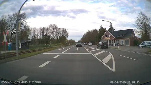


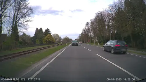


Heidis Imbiss
Fast food · 2.0 km
34 Auricher Straße, Südbrookmerland
Mo-Fr 10:00-22:30; Sa,Su 12:00-22:30
1 more on the map.
Where to stay1
Churches and places of worship2
Martin-Luther-Kirche
Church · Lutheran · 0.7 km
80 Auricher Straße, Südbrookmerland
Königreichssaal Moordorf
Church · Jehovahs Witness · 1.6 km
97 Moorweg, Südbrookmerland
Shopping7
Gas and EV charging3
Schools, colleges and libraries5
Freie Christliche Schule Ostfriesland
School · 0.9 km
13 Schultrift, Südbrookmerland
Turnhalle Astrid Lindgren Schule, Hinnerk Haidjer Schule
School · 0.8 km
5 Schultrift, Südbrookmerland
Healthcare2
Map of Moordorf
43 places. The map loads OpenStreetMap tiles when you open it.
Getting there and nearby towns
Flugplatz Emden (EME) is the nearest airport with scheduled flights listed in OpenStreetMap, 15 km away.
- Aurich 5 km east, about 5 min by car
- Emden 17 km southwest, about 17 min by car
- Norden 19 km northwest, about 19 min by car
- Pewsum 21 km west, about 21 min by car
- Veenhusen 21 km south, about 21 min by car
- Wiesmoor 23 km east, about 23 min by car
- Norddeich 22 km northwest, about 22 min by car
- Leer 27 km south, about 27 min by car
- Wittmund 27 km northeast, about 27 min by car
- Friedeburg 29 km east, about 29 min by car
Drive times are estimates from straight-line distance, not routes.
Local news
Headlines from INDB.
Reviews, tips and questions
Loading what members have shared...
Sources and licences
- GeoNames (CC BY 4.0): population, coordinates, regions and time zone
- Mapillary (see each image): photos
- OpenStreetMap contributors (ODbL 1.0): places, airports, map data
- Wikidata (CC0 1.0): elevation, founding date, time zone, website, landmarks and historic places
- Wikimedia Commons (see each image): photos
- Wikipedia (CC BY-SA 4.0): overview and history text
Photo credits
- Moormuseum Moordorf067, Matthias Süßen, CC BY 3.0
- Moordorf-msu-0168, Matthias Süßen, CC BY-SA 4.0
- Moordorf-msu-, Matthias Süßen, CC BY-SA 4.0
- Moormuseum Moordorf-msu-2021-209-, Matthias Süßen, CC BY-SA 4.0
- Kochaus un Brootbackofen im Moormusem Moordorf, Matthias Süßen, CC BY-SA 4.0
- Moormuseum-Moordorf MatthiasSuessen-9211, User:Matthias Süßen, CC BY-SA 3.0
- Upstallsbohm2008msu, Matthias Süßen, CC BY-SA 2.5
- Moordorfkirche, pixelfehler, CC BY-SA 3.0
- Moormuseum Moordorf view, Matthias Süßen, CC BY 3.0
- Brannwien mit Jamaikarum, Matthias Süßen, CC BY-SA 4.0
- Nebelostfriesland, pixelfehler/ Matthias Süßen, CC BY-SA 2.5
- Ostfriesland msu-0556, User:Matthias Süßen, CC BY-SA 3.0
- BusStation Suva MatthiasSuessen-9212, User:Matthias Süßen, CC BY-SA 3.0
- Kochen über offenem Feuer 2, Matthias Süßen, CC BY-SA 4.0
- Ostfriesentorte, Matthias Süßen, CC BY-SA 4.0
- Alkoholische Spezialitäten 2, Matthias Süßen, CC BY-SA 4.0
- Alkoholische Spezialitäten, Matthias Süßen, CC BY-SA 4.0
- Updrögt Bohnen 3, Matthias Süßen, CC BY-SA 4.0
- BusStation Suva MatthiasSuessen-9197, User:Matthias Süßen, CC BY-SA 3.0
- SchafshaltungOstfriesland, Matthias Süßen, CC BY-SA 4.0
- Karte Mittelpunkt Ostfriesland, Christianmutter, CC BY-SA 4.0
- Mittelpunkt Ostfriesland, Christianmutter, CC BY-SA 4.0
- Street-level photo, minzkraut, CC BY-SA 4.0
- Street-level photo, mfa, CC BY-SA 4.0
- Street-level photo, heetENkoel, CC BY-SA 4.0
- Street-level photo, joskohorvat, CC BY-SA 4.0
- Street-level photo, joskohorvat, CC BY-SA 4.0
- Street-level photo, mfa, CC BY-SA 4.0
- Street-level photo, minzkraut, CC BY-SA 4.0
- Street-level photo, mfa, CC BY-SA 4.0
- Street-level photo, heetENkoel, CC BY-SA 4.0


Page built November 9, 2026. Spotted a mistake? Tell us or suggest a place.