


Why visit Norddeich
Townapedia lists 29 museums and landmarks, 19 parks and trails, 67 places to eat, 52 places to stay and 1 attraction in and around town.
Highlights include Seehundstation Nationalpark-Haus Norddeich, Erlebnispark Norddeich, Märchenschiff and Ocean Wave.
Weather in Norddeich
Forecast from MET Norway (CC BY 4.0). Full forecast
About Norddeich
Norddeich (German pronunciation: [ˈnɔʁtdaɪç]; Low Saxon: Nörddiek) is a village in the borough of Norden in north Germany with 1,540 inhabitants (2011). It lies in northwestern East Frisia, Lower Saxony on the North Sea coast.
From the Wikipedia article Norddeich (Norden) (this version), under CC BY-SA 4.0.
Travel tips from other travellers: Norddeich on Wikivoyage (CC BY-SA 4.0).
Things to do1

Seehundstation Nationalpark-Haus Norddeich
Zoo and aquarium
24 Dörper Weg, Norden
Oct-Apr Mo-Su 10:00-17:00; May-Sep Mo-Su 09:00-18:00
Museums and landmarks29


Rettungsschuppen Norddeich
Museum · 0.9 km
14 Tunnelstraße, Norden
Tu,Th 10:30-12:30
Wasserprisma
Monument and historic site
Farbsäume an dunklen Rändern im Wasserprisma
Windkraftanlagenflügel
Monument and historic site
Flügel einer Windkraftanlage mit Wetterstation
Wipp-Saugpumpe
Monument and historic site
Mit den Füßen bedienbare Pumpe des Springbrunnens
17 more on the map.
Parks, trails and playgrounds19







7 more on the map.
Restaurants and cafes67

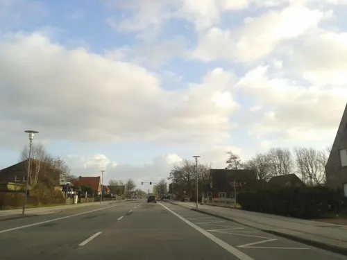
Diekster Pann & Pizzeria La Trattoria
Restaurant
Bistro Restaurant
6 Dörper Weg, Norden
Mo-Su 12:00-20:30
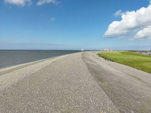
Essen & Meer im Skipperhuus
Restaurant · Fish, Friture, German · 1.3 km
Am Yachthafen
Tu-Th 11:00-20:00; Fr 11:00-21:30; Sa,Su 09:00-21:30; Mo off
Havanna
Restaurant
Restaurant auf der oberen Gebaeudeebene
23 Dörper Weg, Norden
Mo,Th 16:30-21:00; Fr,Sa 11:30-22:00; Su 11:30-21:00
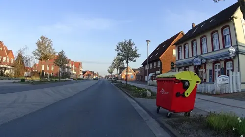
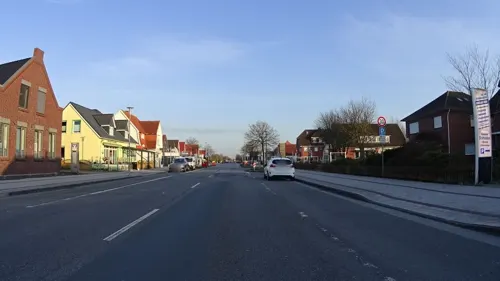


Zum Störtebeker
Restaurant
Aal- und Fisch-Spezialitäten
219 Norddeicher Straße, Norden
Mo-Su 10:00-21:00

55 more on the map.
Where to stay52
Churches and places of worship3
Shopping17
Gas and EV charging4
Schools, colleges and libraries7
Healthcare3
Map of Norddeich
202 places. The map loads OpenStreetMap tiles when you open it.
Getting there and nearby towns
Flugplatz Norden-Norddeich (NOD) is the nearest airport with scheduled flights listed in OpenStreetMap, 3 km away.
- Norden 4 km southeast, about 4 min by car
- Norderney 11 km north, about 11 min by car
- Pewsum 21 km south, about 21 min by car
- Aurich 27 km southeast, about 27 min by car
- Emden 28 km south, about 28 min by car
- Wittmund 41 km east, about 41 min by car
- Veenhusen 42 km southeast, about 42 min by car
- Wiesmoor 44 km southeast, about 44 min by car
- Leer 47 km southeast, about 47 min by car
- Friedeburg 48 km east, about 48 min by car
Drive times are estimates from straight-line distance, not routes.
Local news
Headlines from INDB.
Reviews, tips and questions
Loading what members have shared...
Sources and licences
- GeoNames (CC BY 4.0): population, coordinates, regions and time zone
- Mapillary (see each image): photos
- OpenStreetMap contributors (ODbL 1.0): places, airports, map data
- Wikidata (CC0 1.0): elevation, founding date, time zone, website
- Wikimedia Commons (see each image): photos
- Wikipedia (CC BY-SA 4.0): overview and history text
Photo credits
- Norddeich-20070923, BangertNo, CC BY-SA 3.0
- Seehundstation norden norddeich, Gulp21, CC BY-SA 3.0 de
- Eingang Ocean Wave Norddeich, Gulp21, CC BY-SA 2.0 de
- Wellenpark Norddeich, Gulp21, CC BY-SA 3.0 de
- Seehundstation Norddeich - panoramio (1), Holger Düttmann, CC BY-SA 3.0
- Seehundstation Norddeich - panoramio (3), Holger Düttmann, CC BY-SA 3.0
- Seehundstation Norddeich - panoramio, Holger Düttmann, CC BY-SA 3.0
- Seehundstation Norddeich - panoramio (5), Holger Düttmann, CC BY-SA 3.0
- Seehundstation Norddeich - panoramio (6), Holger Düttmann, CC BY-SA 3.0
- Seehundstation Norddeich - panoramio (4), Holger Düttmann, CC BY-SA 3.0
- Seehundstation Norddeich - panoramio (2), Holger Düttmann, CC BY-SA 3.0
- Wellenpark Norddeich Panorama, Gulp21, CC BY-SA 2.0 de
- Ocean Wave Norddeich - panoramio, HansPeter, CC BY 3.0
- Norddeich Leuchtturm Westmole alt, Oberlausitzerin64, CC BY-SA 4.0
- Norddeich Leuchtturm Ostmole alt, Oberlausitzerin64, CC BY-SA 4.0
- Bücherschrank Norddeich, Clic, CC BY-SA 4.0
- Klinik Norddeich, Gulp21, CC BY-SA 3.0 de
- Kolk Norddeich an der Nordsee - panoramio, HansPeter, CC BY 3.0
- Brückentage in Norden Norddeich - panoramio, HansPeter, CC BY 3.0
- Haus des Gastes Norddeich Panorama, Gulp21, CC BY-SA 2.0 de
- Norddeich Deichinformation, Gulp21, CC BY-SA 2.0 de
- Freibad Norddeich Panorama, Gulp21, CC BY-SA 2.0 de
- Kolk in Norddeich - panoramio, HansPeter, CC BY 3.0
- Bahnhofsschild Norddeich 2006240815, Clic, CC BY-SA 4.0
- Hundestrand in NORDDEICH AN DER NORDSEE - panoramio, HansPeter, CC BY 3.0
- Strand von Norddeich - panoramio, Jürgen Jester, CC BY-SA 3.0
- Norddeich, Norden, Germany - panoramio (1), Mark Voigt, CC BY 3.0
- Clp 20230802 91 80 6147 561-5 D-DB Norddeich, Platte, CC BY-SA 4.0
- Bahnhofsschild Norddeich 2006240814, Clic, CC BY-SA 4.0
- Seehundstation Norddeich (Norden, Ostfriesland)-2021-2118-6284, Matthias Süßen, CC BY-SA 4.0
- UlrichsgymnasiumHistHaupteingang, Gregor Helms, CC BY-SA 3.0
- Norddeich DGzRS Rettungsschuppen Seenotrettungsstation, Oberlausitzerin64, CC BY-SA 4.0
- Pension Haus My - panoramio, HansPeter, CC BY 3.0
- Pension My Zimmer mit Balkon und Terrasse - panoramio, HansPeter, CC BY 3.0
- ENERCON E-16 Norden, Rs-sw-kassel, CC BY-SA 4.0
- Open Air am Meer - 7814233208, Oliver Bildesheim, CC BY 2.0
- No Words needed-BB0E-495E-A495-11E7F3D5EBA8, CoriP, CC BY-SA 4.0
- Norddeich Yacht-Club Norden - panoramio, HansPeter, CC BY 3.0
- Street-level photo, ramap, CC BY-SA 4.0
- Street-level photo, ramap, CC BY-SA 4.0
- Street-level photo, changchun1, CC BY-SA 4.0
- Street-level photo, thomas, CC BY-SA 4.0
- Street-level photo, thomas, CC BY-SA 4.0
- Street-level photo, heetENkoel, CC BY-SA 4.0
- Street-level photo, ramap, CC BY-SA 4.0
- Street-level photo, heetENkoel, CC BY-SA 4.0
- Street-level photo, ramap, CC BY-SA 4.0
- Street-level photo, thomas, CC BY-SA 4.0
- Street-level photo, ramap, CC BY-SA 4.0
- Street-level photo, ramap, CC BY-SA 4.0
- Street-level photo, mfa, CC BY-SA 4.0
- Street-level photo, mfa, CC BY-SA 4.0
- Street-level photo, ramap, CC BY-SA 4.0
- Street-level photo, thomas, CC BY-SA 4.0
- Street-level photo, ramap, CC BY-SA 4.0
- Street-level photo, heetENkoel, CC BY-SA 4.0


Page built November 9, 2026. Spotted a mistake? Tell us or suggest a place.