


Why visit Pewsum
Townapedia lists 4 museums and landmarks, 8 places to eat and 1 attraction in and around town.
Highlights include Manninga Burg and Osterburg.
Weather in Pewsum
Forecast from MET Norway (CC BY 4.0). Full forecast
About Pewsum
Pewsum is a village in the municipality of Krummhörn in the west of East Frisia, in Lower Saxony, Germany. Pewsum is both the administrative seat as well as the trade and craft centre of the municipality. The number of inhabitants was 3,352 in 2006 and the village lies at a height of 0 m above sea level (NN).
From the Wikipedia article Pewsum (this version), under CC BY-SA 4.0.
Things to do1

Museums and landmarks4




Restaurants and cafes8

Die Warf Bäckerei
Bakery · 2.4 km
1 Dorfgasse, Krummhörn - Woltzeten
Th 10:00-17:00; Fr 07:00-17:00; Sa 07:00-12:00
Bäcker Buchholz
Bakery
2a Schatthausstraße, Krummhörn
Mo-Sa 07:00-19:30; Su 07:00-17:00

Churches and places of worship6


Kirche Woltzeten
Church · Reformed · 2.4 km
Rechteckiger Saalbau in Backsteinbauweise mit verputztem Ostgiebel. Satteldach mit Dachreiter. Verwendung älterer Klosterformatsteine.
Roseneck, Krummhörn

Groothuser Kirche
Church · Reformed · 2.1 km
21 Dorfstraße, Krummhörn


Appingen Abbey
Church · 5.6 km
Former Carmelite monastery in Greetsiel, Germany
History
Pewsum was first mentioned in 945 as the castle of the Manninga family of chieftains. From 1565, Pewsum belonged to the Cirksena dynasty. Well-known people who resided in Pewsum included the Swedish marshall, Dodo von Knyphausen, General Peter Ernst II von Mansfeld and the Great Elector.
The castle fell into ruins in the 18th century and was partly demolished and sold. The remaining buildings have since been restored and form part of the East Frisian Open Air Museum (Ostfriesisches Freilichtmuseum).
In 1972, Pewsum lost its independence and became part of the newly founded parish of Krummhörn, albeit retaining the administrative headquarters.
From the History section of Pewsum on Wikipedia, under CC BY-SA 4.0.
Shopping6
Gas and EV charging2
Schools, colleges and libraries3
Healthcare2
Map of Pewsum
32 places. The map loads OpenStreetMap tiles when you open it.
Getting there and nearby towns
Flugplatz Emden (EME) is the nearest airport with scheduled flights listed in OpenStreetMap, 10 km away.
- Emden 11 km southeast, about 11 min by car
- Norden 20 km north, about 20 min by car
- Aurich 26 km east, about 26 min by car
- Veenhusen 31 km southeast, about 31 min by car
- Leer 33 km southeast, about 33 min by car
- Weener 34 km southeast, about 34 min by car
- Wiesmoor 43 km east, about 43 min by car
- Papenburg 45 km southeast, about 45 min by car
- Wittmund 48 km east, about 48 min by car
- Ostrhauderfehn 48 km southeast, about 48 min by car
Drive times are estimates from straight-line distance, not routes.
Local news
Headlines from INDB.
Reviews, tips and questions
Loading what members have shared...
Sources and licences
- GeoNames (CC BY 4.0): population, coordinates, regions and time zone
- Mapillary (see each image): photos
- OpenStreetMap contributors (ODbL 1.0): places, airports, map data
- Wikidata (CC0 1.0): elevation, founding date, time zone, website, landmarks and historic places
- Wikimedia Commons (see each image): photos
- Wikipedia (CC BY-SA 4.0): overview and history text
Photo credits
- Maninga-Burg in Pewsum (Krummhörn) IMG 6665, Losch, CC BY-SA 3.0
- Kriegerdenkmal Drostenplatz Pewsum rechts, Sheep071, CC BY-SA 4.0
- Maninga-Burg in Pewsum (Krummhörn) IMG 6658, Losch, CC BY-SA 3.0
- Maninga-Burg in Pewsum (Krummhörn) IMG 6659, Losch, CC BY-SA 3.0
- Maninga-Burg in Pewsum (Krummhörn) IMG 6664, Losch, CC BY-SA 3.0
- Maninga-Burg in Pewsum (Krummhörn) IMG 6657, Losch, CC BY-SA 3.0
- Maninga-Burg in Pewsum (Krummhörn) IMG 6656, Losch, CC BY-SA 3.0
- Wohnhaus Gräfin-Sophie-Straße 2 Pewsum, Sheep071, CC BY-SA 4.0
- Maninga-Burg in Pewsum (Krummhörn) IMG 6655, Losch, CC BY-SA 3.0
- Maninga-Burg in Pewsum (Krummhörn) IMG 6663, Losch, CC BY-SA 3.0
- Maninga-Burg in Pewsum (Krummhörn) IMG 6662, Losch, CC BY-SA 3.0
- Maninga-Burg in Pewsum (Krummhörn) IMG 6661, Losch, CC BY-SA 3.0
- Maninga-Burg in Pewsum (Krummhörn) IMG 6654, Losch, CC BY-SA 3.0
- Maninga-Burg in Pewsum (Krummhörn) IMG 6666, Losch, CC BY-SA 3.0
- Wohnhaus Jannes-Ohling-Straße 3 Pewsum, Sheep071, CC BY-SA 4.0
- Kriegerdenkmal Drostenplatz Pewsum Lage, Sheep071, CC BY-SA 4.0
- Kriegerdenkmal Drostenplatz Pewsum, Sheep071, CC BY-SA 4.0
- Maninga-Burg in Pewsum (Krummhörn) IMG 6653, Losch, CC BY-SA 3.0
- Maninga-Burg in Pewsum (Krummhörn) IMG 6652, Losch, CC BY-SA 3.0
- Maninga-Burg in Pewsum (Krummhörn) IMG 6667, Losch, CC BY-SA 3.0
- Maninga-Burg in Pewsum (Krummhörn) IMG 6651, Losch, CC BY-SA 3.0
- Häuptlingssitz "Manningaburg" in Pewsum, JoachimKohler-HB, CC BY-SA 4.0
- Maninga-Burg in Pewsum (Krummhörn) IMG 6650, Losch, CC BY-SA 3.0
- Küsterei Drostenplatz 7 Pewsum, Sheep071, CC BY-SA 4.0
- Krummhörn, Pewsum, Manningaburg, 2015-08 CN-01, Steffen Schmitz ( more photos ), CC BY-SA 4.0
- Villa Rückseite Jannes-Ohling-Straße 8 Pewsum, Sheep071, CC BY-SA 4.0
- Westeingang zur Nicolai-Kirche in Pewsum (Krummhörn) IMG 6649, Losch, CC BY-SA 3.0
- Glockenturm der Nicolai-Kirche in Pewsum (Krummhörn) IMG 6642, Losch, CC BY-SA 3.0
- Hotel Burgstr Pewsum, Sheep071, CC BY-SA 4.0
- Glockenturm der Nicolai-Kirche in Pewsum (Krummhörn) IMG 6648, Losch, CC BY-SA 3.0
- Häuptlingssitz "Manningaburg" in Pewsum, NW-Ansicht (Krummhörn, 2024), JoachimKohler-HB, CC BY-SA 4.0
- Glockenturm der Nicolai-Kirche in Pewsum (Krummhörn) IMG 6647, Losch, CC BY-SA 3.0
- Glockenturm der Nicolai-Kirche in Pewsum (Krummhörn) IMG 6646, Losch, CC BY-SA 3.0
- Kriegerdenkmal vor der Nicolai-Kirche in Pewsum (Krummhörn) IMG 6644, Losch, CC BY-SA 3.0
- Kloster Appingen-CN, Kloster_appingen.jpg : Matthias Süßen derivative work: kaʁstn Disk / Cat, CC BY 3.0
- Groothusener Kirche, THWler 33142, Public domain
- Manningaburg-Pewsum-msu-0567, User:Matthias Süßen, CC BY-SA 4.0
- ChurchCanum, Frisia Orientalis, CC BY-SA 3.0
- ChurchWoltzeten, Frisia Orientalis, CC BY-SA 3.0
- Woquarder Kirche 2010, Steffen Schmitz ( more photos ), CC BY-SA 3.0 de
- ChurchPewsum, Frisia Orientalis, CC BY-SA 3.0
- Osterburg (Groothusen) 12, Dickelbers, CC BY-SA 3.0
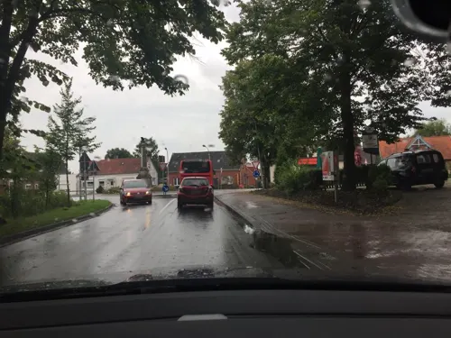
- Street-level photo, atze777, CC BY-SA 4.0
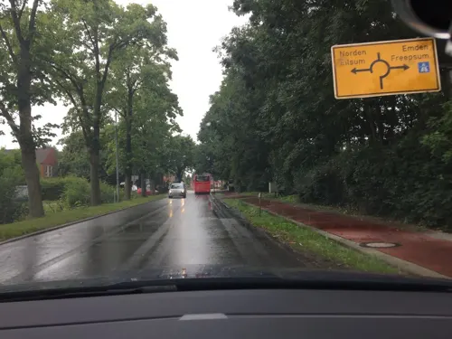
- Street-level photo, atze777, CC BY-SA 4.0
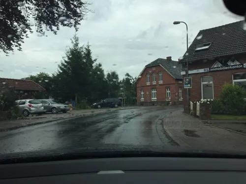
- Street-level photo, atze777, CC BY-SA 4.0
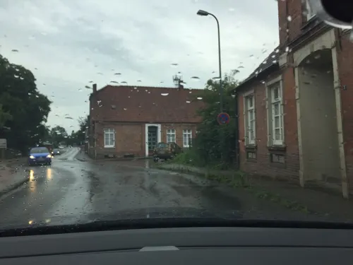
- Street-level photo, atze777, CC BY-SA 4.0
- Street-level photo, atze777, CC BY-SA 4.0


Page built November 9, 2026. Spotted a mistake? Tell us or suggest a place.