


Grenzach-Wyhlen, Germany
Grenzach-Wyhlen is a town of 13,776 people in Baden-Wurttemberg, Germany.
Why visit Grenzach-Wyhlen
Townapedia lists 102 museums and landmarks, 28 parks and trails, 43 places to eat, 9 places to stay and 14 attractions in and around town.
Highlights include Frisch vom Hof Bettingen, Hof Markus Fischer, Regionalmuseum Römervilla and 0xCollection.
Weather in Grenzach-Wyhlen
Forecast from MET Norway (CC BY 4.0). Full forecast
About Grenzach-Wyhlen
Grenzach-Wyhlen (German pronunciation: [ˈɡʁɛntsax ˈviːlən]) is a municipality of 15,000 people in the district of Lörrach in Baden-Württemberg, Germany. It sits on the right bank of the Rhine abutting the Swiss municipalities of Riehen and Bettingen in the Kanton of Basel-Stadt, the German municipality of Inzlingen and the German town of Rheinfelden. Its town hall is 6.5 km east of that of Basel and 8 km south of that of Lörrach.
From the Wikipedia article Grenzach-Wyhlen (this version), under CC BY-SA 4.0.
Things to do14

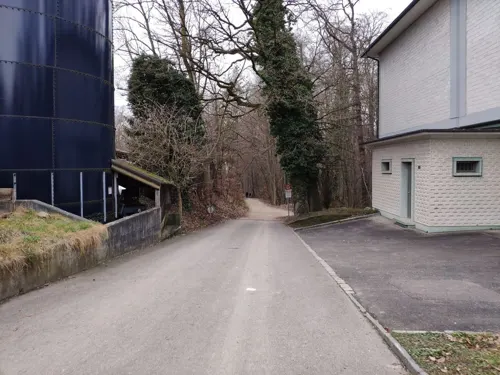
Hof St. Chrischona
Farm and orchard · 2.6 km
Kürbisstand beim Restaurant Waldrain auf St. Chrischona
71 Chrischonabodenweg, Bettingen
Hof Senn-Cron
Farm and orchard · 4.0 km
320 Inzlingerstrasse, Riehen
"nach Vereinbarung"



2 more on the map.
Museums and landmarks102

Regionalmuseum Römervilla
Museum · 1.6 km
25 Hauptstraße, Grenzach-Wyhlen
Apr-Oct PH Su 15:00-18:00; Jul-Aug We 17:00-19:00



Augusta Raurica
Monument and historic site · 3.5 km
Archaeological site and former Roman colony town on the southern bank of the Rhine near Augst in the canton of Basel-Land, Switzerland

Basel Historical Museum
Museum · 7.0 km
Historical museum in Basel (Switzerland)

Basel Museum of Ancient Art and Ludwig Collection
Museum · 6.8 km
Archaeological museum in Basel (Switzerland)

Beyeler Foundation
Museum · 4.9 km
Museum collection in Riehen in the canton of Basel-Stadt, Switzerland


HeK (House of Electronic Arts Basel)
Museum · 5.8 km
Museum and event space in Basel / Münchenstein (Switzerland)
90 more on the map.
Parks, trails and playgrounds28

Bruckgut
Park · 6.0 km
Manor house with park in Münchenstein in the canton of Basel-Landschaft, Switzerland


Merian Gardens
Park · 5.3 km
Botanical gardens in Münchenstein, Switzerland


Hallenbad Grenzach
Sports field and stadium · 1.9 km
3 Scheffelstraße, Grenzach-Wyhlen
Mo 06:00-07:30,13:00-17:30; Tu 13:00-21:30; We 06:30-21:30; Th...

Yacht-Club Hörnle Grenzach-Wyhlen
Marina and boat launch · 3.5 km


16 more on the map.
Restaurants and cafes43
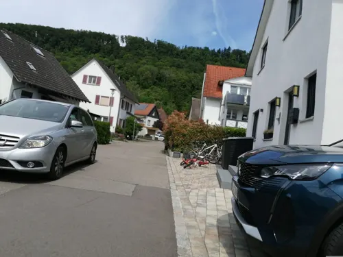
El Greco
Restaurant · Greek · 3.8 km
1 Rabenfelsstraße, Herten
Mo-Tu 17:30-23:00, We off, Th-Su 11:30-14:30, 17:30-23:00

Hotel Restaurant Waldhaus
Restaurant · Regional · 2.7 km
2 Waldhaus, Birsfelden
Mo-Sa 11:30-23:00; Su 11:30-22:00
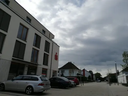
Künzelmann
Bakery · 0.6 km
5 In den Abtsmatten, Grenzach-Wyhlen
Mo-Fr 06:30-12:30,14:30-18:30; Sa 05:30-12:30
Restaurant Taiyang
Restaurant · Chinese · 4.1 km
3 Gewerbestraße, Rheinfelden (Baden)
Mo-Fr 11:30-14:30,17:30-23:00
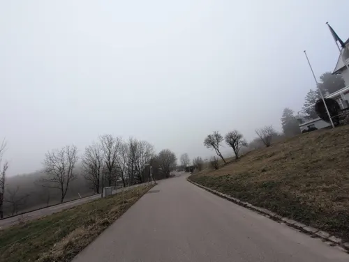

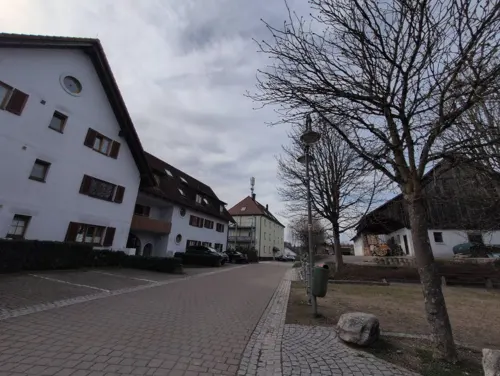
Rührberger Hof
Restaurant · Regional · 2.7 km
1 Inzlinger Straße, Grenzach-Wyhlen
We-Mo 11:30-14:00,17:30-21:00
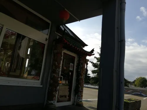
Asia City Chinesisches Restaurant
Restaurant · Chinese · 0.8 km
34 Rheinfelder Straße
Tu-Su 11:00-14:30,17:30-21:30
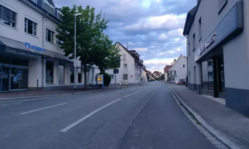
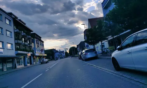
Drei König
Restaurant · Italian, Pizza · 1.7 km
6 Basler Straße, Grenzach-Wyhlen
Th-Mo 11:30-14:00,17:30-22:30
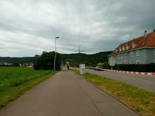


Gasthaus zum Kraftwerk
Restaurant · German · 2.0 km
33 Am Wasserkraftwerk, Grenzach-Wyhlen
Mo,We-Su 11:00-23:00
31 more on the map.
History
Grenzach-Wyhlen was established on January 1, 1975 from the two independent municipalities Grenzach and Wyhlen in the course of the Baden-Württemberg reform of the local governments.
First settlements in today's municipality area are of Celtic origin, belonging to the Hallstatt culture in the early 1st millennium BC. The Celtic settlement was followed by Roman settlements and from the 3rd century on by Alemannic ones. The name "Wyhlen" originates in Alemannic "ze wilon", meaning "at the farmstead".
The Roman settlement was called Carantiacum (well of Carantius). From this name today's name Grenzach emerged. In 1982 remains of a Roman villa were excavated. Later on some ruins of an outbuilding were found and archaeologically investigated too. 1991 more walls were found, which were restored and are now visible to the public.
The first documented mentioning of the settlement was in the 13th century CE, when Grenzach and Wyhlen were under Frankish rule. In the late Middle Ages the villages were separated by a national border. Grenzach came to the Margraviate of Baden, while Wyhlen belonged to Further Austria.
In the Thirty Years' War and in later military conflicts the villages suffered severe devastation. With the founding of the Grand Duchy of Baden Wyhlen also became Badisch, so that after more than 500 years the two places were again under the same territorial rule.
From the History section of Grenzach-Wyhlen on Wikipedia, under CC BY-SA 4.0.
Where to stay9
Churches and places of worship18
Friedenskirche
Church · Protestant · 0.8 km
25 Rheinfelder Straße, Grenzach-Wyhlen
Reformierte Chrischonakirche
Church · Evangelical · 2.6 km
215 Chrischonarain, Bettingen
St. Leodegar
Church · Protestant · 1.7 km
4 Rebgasse, Grenzach-Wyhlen
St. Michael
Church · Catholic · 2.1 km
43 Basler Straße, Grenzach-Wyhlen
Shopping15
Gas and EV charging4
Schools, colleges and libraries17
University of Applied Sciences Northwestern Switzerland
School · 5.7 km
Healthcare4
Map of Grenzach-Wyhlen
250 places. The map loads OpenStreetMap tiles when you open it.
Getting there and nearby towns
Lahr Airport (LHA) is the nearest airport with scheduled flights listed in OpenStreetMap, 92 km away.
- Weil am Rhein 7 km northwest, about 7 min by car
- Lörrach 7 km north, about 7 min by car
- Rheinfelden 8 km east, about 8 min by car
- Steinen 11 km north, about 11 min by car
- Schopfheim 15 km northeast, about 15 min by car
- Wehr 19 km northeast, about 19 min by car
- Neuenburg am Rhein 31 km north, about 31 min by car
- Waldshut-Tiengen 41 km east, about 41 min by car
- Titisee-Neustadt 56 km northeast, about 56 min by car
- Gundelfingen 56 km north, about 56 min by car
Drive times are estimates from straight-line distance, not routes.
Local news
Headlines from INDB.
Reviews, tips and questions
Loading what members have shared...
Sources and licences
- GeoNames (CC BY 4.0): population, coordinates, regions and time zone
- Mapillary (see each image): photos
- OpenStreetMap contributors (ODbL 1.0): places, airports, map data
- Wikidata (CC0 1.0): elevation, founding date, time zone, website, landmarks and historic places
- Wikimedia Commons (see each image): photos
- Wikipedia (CC BY-SA 4.0): overview and history text
Photo credits
- Grenzach - St. Leodegar7, Taxiarchos228, CC BY 3.0
- Buchswald am Westweg in Grenzach-Wyhlen 2, Andreas Schwarzkopf, CC BY-SA 3.0
- Grenzach-Wyhlen Naturschutzgebiet Ruschbachtal Bild 2, PantaRhei, CC BY-SA 4.0
- Grenzach-Wyhlen Naturschutzgebiet Ruschbachtal Bild 1, PantaRhei, CC BY-SA 4.0
- Grenzach-Wyhlen Naturschutzgebiet Ruschbachtal Bild 3, PantaRhei, CC BY-SA 4.0
- Grenzach-Wyhlen Naturschutzgebiet Ruschbachtal Bild 4, PantaRhei, CC BY-SA 4.0
- Bahnhof Grenzach-Wyhlen - panoramio, Andy Mendyk, CC BY-SA 3.0
- Kranker Buchswald am Rötelsteinfelsen in Grenzach-Wyhlen 2, Andreas Schwarzkopf, CC BY-SA 3.0
- Grenzach-Wyhlen Naturschutzgebiet Ruschbachtal Bild 21, PantaRhei, CC BY-SA 4.0
- Grenzach-Wyhlen Naturschutzgebiet Ruschbachtal Bild 5, PantaRhei, CC BY-SA 4.0
- Grenzach-Wyhlen Naturschutzgebiet Ruschbachtal Bild 6, PantaRhei, CC BY-SA 4.0
- Grenzach-Wyhlen Naturschutzgebiet Ruschbachtal Bild 7, PantaRhei, CC BY-SA 4.0
- Hess Haus zur Mücke 1837, Hieronymus Hess, Public domain
- Augusta Raurica - Pratteln (CH) - Amphiteatro, Guido Radig, CC BY-SA 3.0
- Basel Barfüsserkirche Inneres 11-05-2008, Basmus, CC BY-SA 3.0
- Antikenmuseum Basel 2008-03-30, Basmus, CC BY-SA 3.0
- Switzerland riehen fondation beyeler, Unknown author, CC BY-SA 3.0
- Foto 2013 SAV-28-01 CMS, Cartoonmuseum Basel, CC BY-SA 4.0
- Puppenhausmuseum 2008-03-30, Basmus, CC BY-SA 3.0
- HeK Dreispitz (Basel), Re probst, CC BY-SA 4.0
- Bruckgut Münchenstein 2009-06-03, Huligan0, CC BY-SA 3.0
- Merian-Gärten Villa Merian 2, Zieglhar, CC BY-SA 4.0
- Elisabethenkirche Basel 2006 820, Norbert Aepli, Switzerland ( User:Noebu ), CC BY 2.5
- Muttenz-Kirche-Arbogast-2, Roland Zumbuehl, CC BY-SA 3.0
- Hochschule für Technik FHNW, WebmasterHT, CC BY-SA 3.0
- MZA Chrischona4 retouched, Wladyslaw , edit by AlMare, CC BY-SA 3.0
- Wyhlen - Friedenskirche1, Taxiarchos228, CC BY 3.0
- Grenzach - Michaelskirche1, Taxiarchos228, CC BY 3.0
- Römermuseum Grenzach 1, Zieglhar, CC BY-SA 4.0
- Herten - St. Josef, Taxiarchos228, CC BY 3.0
- Kornfeldkirche Riehen, Johsin18, CC BY-SA 3.0
- Rheinfelden - Petruskirche1, Taxiarchos228, CC BY 3.0
- Wyhlen - Georgskirche11, Taxiarchos228, CC BY 3.0
- Grenzach - St. Leodegar8, Taxiarchos228, CC BY 3.0
- Bettingen-01, Roland Zumbuehl, CC BY-SA 3.0
- Wyhlen mit Dinkelberg, Andreas Schwarzkopf, CC BY-SA 3.0
- Buchswald oberhalb von Wyhlen 2, Andreas Schwarzkopf, CC BY-SA 3.0
- Blick auf Wyhlen mit alter Rheinsaline 3, Andreas Schwarzkopf, CC BY-SA 3.0
- Wyhlen mit Kirche St. Georg, Andreas Schwarzkopf, CC BY-SA 3.0
- Kreisverkehr Grenzach-Whylen - panoramio, Andy Mendyk, CC BY-SA 3.0
- Aussichtspunkt auf dem Grenzacher Hornfelsen, Andreas Schwarzkopf, CC BY-SA 3.0
- Street-level photo, Iaiks, CC BY-SA 4.0
- Street-level photo, Iaiks, CC BY-SA 4.0
- Street-level photo, Iaiks, CC BY-SA 4.0
- Street-level photo, Rechir, CC BY-SA 4.0
- Street-level photo, jhbz1, CC BY-SA 4.0
- Street-level photo, pmatuszy, CC BY-SA 4.0
- Street-level photo, jhbz1, CC BY-SA 4.0
- Street-level photo, Endgegner, CC BY-SA 4.0
- Street-level photo, Iaiks, CC BY-SA 4.0
- Street-level photo, Iaiks, CC BY-SA 4.0
- Street-level photo, kto, CC BY-SA 4.0
- Street-level photo, kto, CC BY-SA 4.0
- Street-level photo, Rechir, CC BY-SA 4.0
- Street-level photo, kto, CC BY-SA 4.0
- Street-level photo, pmatuszy, CC BY-SA 4.0
- Street-level photo, Iaiks, CC BY-SA 4.0
- Street-level photo, Rechir, CC BY-SA 4.0
- Street-level photo, Rechir, CC BY-SA 4.0
- Street-level photo, ramap, CC BY-SA 4.0
- Street-level photo, StefanS79, CC BY-SA 4.0
- Street-level photo, teddy73, CC BY-SA 4.0
- Street-level photo, vinisa, CC BY-SA 4.0
- Street-level photo, teddy73, CC BY-SA 4.0
- Street-level photo, rolas, CC BY-SA 4.0
- Street-level photo, mfa, CC BY-SA 4.0


Page built November 8, 2026. Spotted a mistake? Tell us or suggest a place.