


Rheinfelden, Germany
Rheinfelden (Baden)
Rheinfelden is a town of 34,674 people in Baden-Wurttemberg, Germany.
Why visit Rheinfelden
Townapedia lists 43 museums and landmarks, 36 parks and trails, 141 places to eat, 14 places to stay and 13 attractions in and around town.
Highlights include Rheinflimmern, Eichberg, Haus Salmegg and Tschamberhöhle.
Weather in Rheinfelden
Forecast from MET Norway (CC BY 4.0). Full forecast
About Rheinfelden
Rheinfelden (German pronunciation: [ˈʁaɪnˌfɛldn̩] ; Alemannic German: Badisch-Rhyfälde, pronounced [ˈb̥ad̥ɪʃ ʁifæld̥ə]) is a town in the district of Lörrach in Baden-Württemberg, Germany. It is situated on the right bank of the Rhine, across from Rheinfelden, Switzerland, and 15 km east of Basel. The population is 32,919 as of 2020, making it the second most populated town of the district after Lörrach.
From the Wikipedia article Rheinfelden (Baden) (this version), under CC BY-SA 4.0.
Things to do13





1 more on the map.
Museums and landmarks43


Ehemalige Johanniterkapelle
Monument and historic site · 0.7 km
4.1 Johannitergasse, Rheinfelden

Augusta Raurica
Monument and historic site · 5.7 km
Archaeological site and former Roman colony town on the southern bank of the Rhine near Augst in the canton of Basel-Land, Switzerland

Farnsburg Castle ruin
Monument and historic site · 9.7 km
Castle ruins in Ormalingen in the canton of Basel-Landschaft, Switzerland
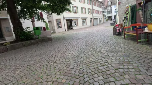
Glockenspiel im Rumpel
Monument and historic site · 0.7 km
Die Geiss läuft jeweils um 9 Uhr, 12 Uhr, 15 Uhr und 17 Uhr mit musikalischer Begleitung durch das Glockenspiel über die «Stadtmauer».
24/7


Ruins Altenberg
Monument and historic site · 6.6 km
Castle ruin in Füllinsdorf in the canton of Basel-Landschaft, Switzerland

Sissacherfluh Ruin
Monument and historic site · 9.2 km
Castle / settlement ruins in Sissach in the canton of Basel-Landschaft, Switzerland

Ehem. Burg Stein
Monument and historic site · 0.6 km
Hier stand früher eine Burg

Neues Schloss
Monument and historic site · 3.1 km
7 Schloß Beuggen, Rheinfelden (Baden)
31 more on the map.
Parks, trails and playgrounds36




Hallenbad Rheinfelden
Sports field and stadium
23 Kaminfegerstraße, Rheinfelden (Baden)


24 more on the map.
Restaurants and cafes141
El Greco
Restaurant · Greek · 4.0 km
1 Rabenfelsstraße, Herten
Mo-Tu 17:30-23:00, We off, Th-Su 11:30-14:30, 17:30-23:00
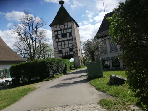
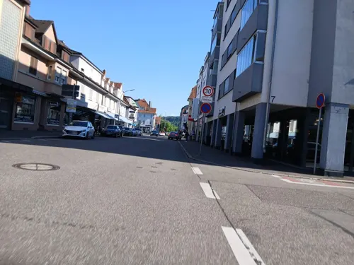
Ristorante Da Franco
Restaurant · Italian
9 Nollinger Straße, Rheinfelden (Baden)
Mo-Fr 11:00-14:00,18:00-24:00; Sa,Su 18:00-24:00
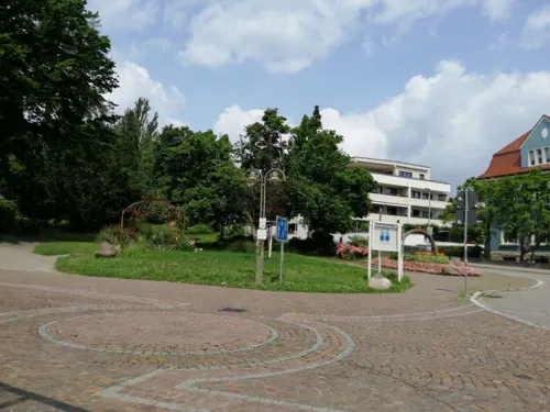
Ristorante I Fratelli
Restaurant · Italian
8 Rheinbrückstraße, Rheinfelden (Baden)
Tu-Sa 11:30-14:00, 18:00-22:00; Su 11:30-15:00

Saigon
Restaurant · Vietnamese · 1.4 km
10 Schildgasse, Rheinfelden (Baden)
Tu-Sa 11:30-14:00, 17:30-22:00
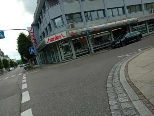
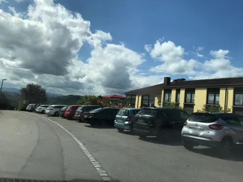
Heitzmann
Cafe · 6.5 km
3 Im Steinfacht, Schwörstadt
Mo-Fr 06:00-18:00; Sa 07:00-17:30; Su 08:00-12:00
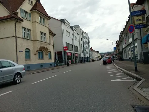
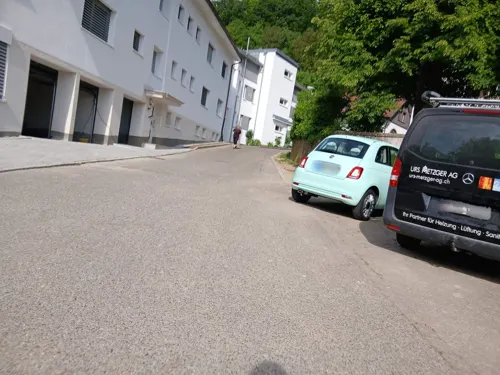


Katja's Genusswelt
Cafe · 1.9 km
24 Beuggener Straße, Rheinfelden (Baden)
We-Su 09:00-17:00; Mo-Tu, PH off
129 more on the map.
Where to stay14
Die Sonne Nollingen
Motel and hotel · 1.9 km
24 Beuggener Straße, Rheinfelden (Baden)
Churches and places of worship18
St. Gallus
Church · Roman Catholic · 4.9 km
2 Otto-Deisler-Platz, Rheinfelden (Baden)
Stadtkirche St. Martin
Church · Old Catholic · 0.8 km
1.1 Kirchplatz, Rheinfelden
Alperenler Camii Moschee Ditib
Place of worship · 1.6 km
12 Schafmatt, Rheinfelden (Baden)
Christliches Zentrum Rheinfelden (CZR)
Church · Protestant · 0.7 km
20 Güterstraße, Rheinfelden (Baden)
Shopping43
Hieber's Frische Center
Grocery · 0.9 km
76 Untere Dorfstraße, Rheinfelden (Baden)
Gas and EV charging6
Schools, colleges and libraries23
Christian-Heinrich-Zeller Grund und Hauptschule
School · 3.2 km
1 Steigweg, Rheinfelden (Baden)
Hebelschule Nollingen Neubau
School · 1.5 km
11 Neumattenweg, Rheinfelden (Baden)
Healthcare15
Map of Rheinfelden
250 places. The map loads OpenStreetMap tiles when you open it.
Getting there and nearby towns
Lahr Airport (LHA) is the nearest airport with scheduled flights listed in OpenStreetMap, 90 km away.
- Schopfheim 10 km north, about 10 min by car
- Steinen 10 km north, about 10 min by car
- Wehr 12 km northeast, about 12 min by car
- Weil am Rhein 13 km west, about 13 min by car
- Waldshut-Tiengen 33 km east, about 33 min by car
- Titisee-Neustadt 50 km northeast, about 50 min by car
- Waldkirch 61 km north, about 1 h by car
- Teningen 63 km north, about 1 h by car
- St. Georgen im Schwarzwald 75 km northeast, about 1 h 15 min by car
- Villingen-Schwenningen 77 km northeast, about 1 h 15 min by car
Drive times are estimates from straight-line distance, not routes.
Local news
Headlines from INDB.
Reviews, tips and questions
Loading what members have shared...
Sources and licences
- GeoNames (CC BY 4.0): population, coordinates, regions and time zone
- Mapillary (see each image): photos
- OpenStreetMap contributors (ODbL 1.0): places, airports, map data
- Wikidata (CC0 1.0): elevation, founding date, time zone, website, landmarks and historic places
- Wikimedia Commons (see each image): photos
- Wikipedia (CC BY-SA 4.0): overview and history text
Photo credits
- Rheinfelden (Baden) Mattes 2012-10-1412, Mattes, CC BY-SA 3.0
- Rheinfelden (Baden) Mattes 2012-10-1413, Mattes, CC BY-SA 3.0
- Rheinfelden (Baden) Mattes 2012-10-1414, Mattes, CC BY-SA 3.0
- Rheinfelden (Baden) Mattes 2012-10-1411, Mattes ( talk ), CC BY-SA 3.0
- Rheinfelden (Baden) Mattes 2012-10-1410, Mattes, CC BY-SA 3.0
- Rheinfelden (Baden) Mattes 2012-10-1415, Mattes, CC BY-SA 3.0
- Rheinfelden (Baden) Mattes 2012-10-148, Mattes, CC BY-SA 3.0
- Rheinfelden (Baden) Mattes 2012-10-149, Mattes, CC BY-SA 3.0
- Rheinfelden (Baden) Mattes 2012-10-1416, Mattes, CC BY-SA 3.0
- Rheinfelden (Baden) Mattes 2012-10-1417, Mattes, CC BY-SA 3.0
- Rheinfelden (Baden) Mattes 2012-10-1418, Mattes, CC BY-SA 3.0
- Rheinfelden (53), User:Mattes, CC BY-SA 2.0
- Rheinfelden (Baden) Mattes 2012-10-146, Mattes, CC BY-SA 3.0
- Rheinfelden (Baden) Mattes 2012-10-147, Mattes, CC BY-SA 3.0
- Rheinfelden (48), User:Mattes, CC BY-SA 2.0
- Rheinfelden (47), User:Mattes, CC BY-SA 2.0
- Rheinfelden (49), User:Mattes, CC BY-SA 2.0
- Rheinfelden (Baden) Mattes 2012-10-145, Mattes, CC BY-SA 3.0
- Rheinfelden (51), User:Mattes, CC BY-SA 2.0
- Rheinfelden (52), User:Mattes, CC BY-SA 2.0
- Rheinfelden (Baden) Mattes 2012-10-1419, Mattes ( talk ), CC BY-SA 3.0
- Rheinfelden (46), User:Mattes, CC BY-SA 2.0
- Rheinfelden (50), User:Mattes, CC BY-SA 2.0
- Rheinfelden (29), User:Mattes, CC BY-SA 2.0
- Rheinfelden (Baden) Mattes 2012-10-143, Mattes, CC BY-SA 3.0
- Rheinfelden (Baden) Mattes 2012-10-144, Mattes ( talk ), CC BY-SA 3.0
- Rheinfelden (Baden) Mattes 2012-10-142, Mattes ( talk ), CC BY-SA 3.0
- Rheinfelden (28), User:Mattes, CC BY-SA 2.0
- Riegeler Bierablage in Rheinfelden, Andreas Schwarzkopf, CC BY-SA 3.0
- Rheinfelden (Baden) Kirchenturm St. Josef, PantaRhei, CC BY-SA 4.0
- Riegeler Bierablage in Rheinfelden 1, Andreas Schwarzkopf, CC BY-SA 3.0
- Grün 07.Rheinfelden.PL02 - panoramio, Pierre Likissas, CC BY 3.0
- Rheinfelden (Baden) Kirche St. Josef, PantaRhei, CC BY-SA 4.0
- Rheinfelden (Aargau, Switzerland), Freaktalius, CC BY-SA 4.0
- Rheinfelden (Baden) Mattes 2012-10-141, Mattes, CC BY-SA 3.0
- Augusta Raurica - Pratteln (CH) - Amphiteatro, Guido Radig, CC BY-SA 3.0
- Anlage Ruine Farnsburg 2025, Tschubby, CC BY-SA 3.0
- Burg Altenberg Füllinsdorf, Wm1bl, CC BY-SA 3.0
- Sissacherfluh-Turm, Aschweizer, Public domain
- Josephskirche Rheinfelden, Wladyslaw, CC BY-SA 3.0
- Schloss Beuggen Gesamtansicht2, photographer: Wladyslaw ( talk ), stiched by Dschwen . Original uploader was Wladyslaw ( talk ), CC BY-SA 3.0
- Burg Stein Rheinfelden nach Herrgott, Marquart Herrgott, Public domain
- Rheinfelden - Christuskirche, Wladyslaw, CC BY 3.0
- Haus Salmegg, Wicotw, CC BY-SA 3.0
- Rheinfelden - Galluskirche Warmbach3, Taxiarchos228, CC BY 3.0
- Tschamberhöhle 01, Latschari, CC BY-SA 3.0
- Herten - St. Josef, Taxiarchos228, CC BY 3.0
- St. Martinskirche (Rheinfelden), -- Wladyslaw Disk. , user of the german wikipedia, CC BY-SA 3.0
- Minseln - Johanneskirche, Taxiarchos228, CC BY 3.0
- Rheinfelden - Petruskirche1, Taxiarchos228, CC BY 3.0
- Eichsel - St. Gallus Chorseite2, Taxiarchos228, CC BY 3.0
- Alperenler-Moschee in Rheinfelden (Baden) retouched, Unknown author, CC BY-SA 3.0 de
- Rheinfelden-Johanniterkapelle, Roland Zumbuehl, CC BY-SA 3.0
- Rheinfelden AG 2012-09-09 Mattes Batch (27), User:Mattes, CC BY 2.0 de
- Rheinfelden (Baden) Naturschutzgebiet Buhrenboden Bild 8, PantaRhei, CC BY-SA 4.0
- Rheinfelden (Baden) Herten Eigenturm Bild 7, PantaRhei, CC BY-SA 4.0
- Warmbach-Wasserfall in Rheinfelden (Baden), PantaRhei, CC BY-SA 4.0
- Aerial View - Rheinfelden AG1, Taxiarchos228, CC BY 3.0
- Street-level photo, Rechir, CC BY-SA 4.0
- Street-level photo, Endgegner, CC BY-SA 4.0
- Street-level photo, Endgegner, CC BY-SA 4.0
- Street-level photo, Iaiks, CC BY-SA 4.0
- Street-level photo, Iaiks, CC BY-SA 4.0
- Street-level photo, Iaiks, CC BY-SA 4.0
- Street-level photo, Rechir, CC BY-SA 4.0
- Street-level photo, Rechir, CC BY-SA 4.0
- Street-level photo, Rechir, CC BY-SA 4.0
- Street-level photo, Rechir, CC BY-SA 4.0
- Street-level photo, Rechir, CC BY-SA 4.0
- Street-level photo, Endgegner, CC BY-SA 4.0
- Street-level photo, Iaiks, CC BY-SA 4.0
- Street-level photo, Iaiks, CC BY-SA 4.0
- Street-level photo, tbkrtz, CC BY-SA 4.0
- Street-level photo, jhbz1, CC BY-SA 4.0
- Street-level photo, tbkrtz, CC BY-SA 4.0
- Street-level photo, Endgegner, CC BY-SA 4.0
- Street-level photo, Iaiks, CC BY-SA 4.0
- Street-level photo, vanderhoff, CC BY-SA 4.0
- Street-level photo, Rechir, CC BY-SA 4.0
- Street-level photo, Iaiks, CC BY-SA 4.0
- Street-level photo, Iaiks, CC BY-SA 4.0
- Street-level photo, Rechir, CC BY-SA 4.0
- Street-level photo, tbkrtz, CC BY-SA 4.0
- Street-level photo, Lukas1976, CC BY-SA 4.0
- Street-level photo, Iaiks, CC BY-SA 4.0
- Street-level photo, Endgegner, CC BY-SA 4.0


Page built November 8, 2026. Spotted a mistake? Tell us or suggest a place.