


Why visit Halver
Townapedia lists 25 museums and landmarks, 31 parks and trails, 45 places to eat, 9 places to stay and 53 attractions in and around town.
Highlights include Aussichtsturm Karlshöhe, Hofladen Hedfeld, Historische Schule Winkhausen and Haus Heide.
Weather in Halver
Forecast from MET Norway (CC BY 4.0). Full forecast
About Halver
Halver (German pronunciation: [ˈhɑlfɐ] ) is a town in the Märkischer Kreis district, in North Rhine-Westphalia, Germany.
From the Wikipedia article Halver (this version), under CC BY-SA 4.0.
Things to do53


Hofladen Hedfeld
Farm and orchard · 4.0 km
1, Halver
Tu 15:00-18:00; We 10:00-18:00; Th-Fr 15:00-18:00; Sa 08:00-16:00




41 more on the map.
Museums and landmarks25
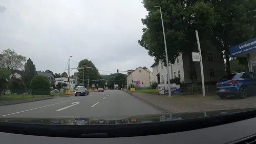
Historische Schule Winkhausen
Monument and historic site · 5.5 km
Das Gebäude steht zum Verkauf.
141 Volmestraße, Lüdenscheid


Haus Rhade
Monument and historic site · 5.2 km
1,2 Haus Rhade, Kierspe


Alter Eingang Grube Kupferberg
Monument and historic site · 5.5 km
Grubeneingang mit Infotafel
Bauernhaus Wippekühl
Monument and historic site · 6.2 km
4 Wippekühl, Schalksmühle
Scheuerpfahl "Stille"
Monument and historic site · 7.4 km
Glörstraße, Schalksmühle
13 more on the map.
Parks, trails and playgrounds31





19 more on the map.
Restaurants and cafes45
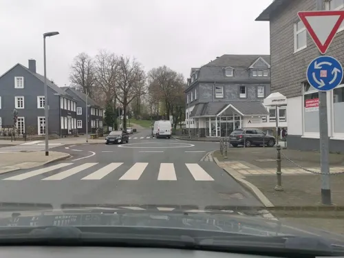

City-Ofen-Pizzeria Inh. Erhan Singil
Restaurant · Pizza · 1.2 km
3 Neuemühle, Halver
Tu-Th 10:00-14:00; Fr 10:00-14:00, 17:00-21:30; Sa-Su 17:00-21:30
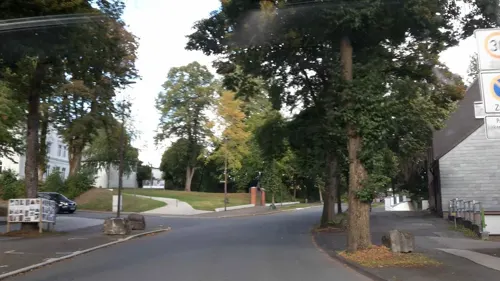
Tortenatelier Sa Mesa
Restaurant · Coffee Shop, Cake, Italian
39 Frankfurter Straße, Halver
We-Sa 09:30-22:00; Su 10:00-17:00
Zum Nöckel
Restaurant · Regional · 5.3 km
37 Rotthauser Straße, Schalksmühle
We-Fr 16:00-22:00; Sa 11:30-14:00,16:00-22:00; Su 11:30-14:00,16:00-22:00
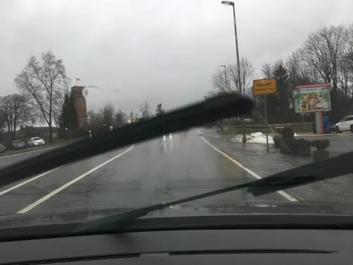
Cattlemen's Restaurant
Restaurant · Burger · 0.9 km
We-Th 17:00-20:30; Fr-Sa 17:00-22:30; Su 16:00-21:00; PH off

Trattoria Arrivo
Restaurant · Italian
19 Bahnhofstraße, Halver
Tu-Sa 17:00-23:00, Tu,Th 11:30-14:00; Mo off, PH,Su 11:00-21:00


Bäckerei Hosselmann
Bakery · 6.2 km
Bäckerei
2 Am Wasserturm, Lüdenscheid
Mo-Sa 07:00-18:00; Su 08:00-12:00
33 more on the map.
History
Around 950 the Oberhof Halvara was first mentioned in the Werdener Probsteiregister. For more than 500 years Halver was the seat of a Fehmic court, the earliest definite evidence of which is in 1243; it ceased to exist in 1753. This court was most famous because of the trial of duke Henry XVI the Rich of Bavaria-Landshut and the knight of Toerring on May 2, 1430.
With effect from October 1, 1912, the municipality Halver was split, Schalksmühle becoming an independent municipality. Both were administered together in the Amt Halver. As part of the communal reforms of the district of Altena the Amt was dissolved on January 1, 1969, and Halver was granted city rights.
From the History section of Halver on Wikipedia, under CC BY-SA 4.0.
Where to stay9
Churches and places of worship20
Neuapostolische Kirche Lüdenscheid-Brügge
Church · New Apostolic · 5.5 km
11 Am Langen Acker, Lüdenscheid
St. Johannes Apostel und Evangelist
Church · Catholic · 5.1 km
36 Westfalenstraße, Wipperfürth
Shopping19
Gas and EV charging9
Schools, colleges and libraries12
Eugen-Schmalenbach-Berufskolleg
School · 4.5 km
3-5 Eugen-Schmalenbach-Straße, Halver
Healthcare4
Map of Halver
227 places. The map loads OpenStreetMap tiles when you open it.
Getting there and nearby towns
Dortmund Airport (DTM) is the nearest airport with scheduled flights listed in OpenStreetMap, 38 km away.
- Schalksmühle 6 km north, about 6 min by car
- Kierspe 9 km southeast, about 9 min by car
- Lüdenscheid 10 km northeast, about 10 min by car
- Radevormwald 10 km west, about 10 min by car
- Wipperfürth 10 km southwest, about 10 min by car
- Hückeswagen 11 km west, about 11 min by car
- Marienheide 12 km south, about 12 min by car
- Meinerzhagen 14 km southeast, about 14 min by car
- Schwelm 18 km northwest, about 18 min by car
- Hagen 20 km north, about 20 min by car
Drive times are estimates from straight-line distance, not routes.
Local news
Headlines from INDB.
Reviews, tips and questions
Loading what members have shared...
Sources and licences
- GeoNames (CC BY 4.0): population, coordinates, regions and time zone
- Mapillary (see each image): photos
- OpenStreetMap contributors (ODbL 1.0): places, airports, map data
- Wikidata (CC0 1.0): elevation, founding date, time zone, website, landmarks and historic places
- Wikimedia Commons (see each image): photos
- Wikipedia (CC BY-SA 4.0): overview and history text
Photo credits
- Kulturbahnhof LB, Lothar Borchert, CC BY-SA 3.0
- Aussichtsturm Karlshöhe (Halver) (3), DiAuras, CC BY-SA 4.0
- Ev. Nicolai-Kirche (Halver), DiAuras, CC BY-SA 4.0
- Kriegerehrenmal Kirchplatz (Halver) (1), DiAuras, CC BY-SA 4.0
- Kriegerehrenmal Kirchplatz (Halver) (3), DiAuras, CC BY-SA 4.0
- Kriegerehrenmal Kirchplatz (Halver) (4), DiAuras, CC BY-SA 4.0
- Kriegerehrenmal Kirchplatz (Halver) (2), DiAuras, CC BY-SA 4.0
- Marktstraße 7 (Halver), DiAuras, CC BY-SA 4.0
- Von-Vincke-Straße 3 (Halver), DiAuras, CC BY-SA 4.0
- Ev. Nicolai-Kirche (Halver) (2), DiAuras, CC BY-SA 4.0
- Frankfurter Straße 4 (Halver) (1), DiAuras, CC BY-SA 4.0
- Frankfurter Straße 4 (Halver) (2), DiAuras, CC BY-SA 4.0
- Frankfurter Straße 4 (Halver) (3), DiAuras, CC BY-SA 4.0
- Marktstraße 11 (Halver), DiAuras, CC BY-SA 4.0
- Frankfurter Straße 39 (Halver) (4), DiAuras, CC BY-SA 4.0
- Frankfurter Straße 39 (Halver), DiAuras, CC BY-SA 4.0
- Frankfurter Straße 39 (Halver) (3), DiAuras, CC BY-SA 4.0
- Frankfurter Straße 39 (Halver) (2), DiAuras, CC BY-SA 4.0
- Frankfurter Straße 41 (Halver) (3), DiAuras, CC BY-SA 4.0
- Frankfurter Straße 41 (Halver), DiAuras, CC BY-SA 4.0
- Frankfurter Straße 41 (Halver) (4), DiAuras, CC BY-SA 4.0
- Frankfurter Straße 41 (Halver) (2), DiAuras, CC BY-SA 4.0
- Frankfurter Straße 45 (Halver) (7), DiAuras, CC BY-SA 4.0
- Frankfurter Straße 45 (Halver) (6) (cropped Scheuerpfahl vergessene Frauen), DiAuras, CC BY-SA 4.0
- Frankfurter Straße 45 (Halver) (6), DiAuras, CC BY-SA 4.0
- Frankfurter Straße 45 (Halver) (4), DiAuras, CC BY-SA 4.0
- Frankfurter Straße 45 (Halver) (2), DiAuras, CC BY-SA 4.0
- Frankfurter Straße 45 (Halver) (5), DiAuras, CC BY-SA 4.0
- Frankfurter Straße 45 (Halver) (3), DiAuras, CC BY-SA 4.0
- Frankfurter Straße 45 (Halver) (1), DiAuras, CC BY-SA 4.0
- Aussichtsturm Karlshöhe (Halver) (4), DiAuras, CC BY-SA 4.0
- Aussichtsturm Karlshöhe (Halver) (2), DiAuras, CC BY-SA 4.0
- Aussichtsturm Karlshöhe (Halver) (1), DiAuras, CC BY-SA 4.0
- Aussichtsturm Karlshöhe (Halver) (5), DiAuras, CC BY-SA 4.0
- Lüdenscheid-Kulturhaus-01 new, derivative work: Pro2 ( talk ) Lüdenscheid-Kulturhaus-01.jpg : Silvercork The original uploader was Silvercork at German Wikipedia ., CC BY-SA 3.0
- NSG Krebsbachaue 02, Friedi13, CC BY-SA 4.0
- Kierspe Rhadermühle - Alter Mühlenweg - Haus Rhade 01 ies, Frank Vincentz, CC BY-SA 3.0
- Halver - Bollberg - Wallburg 05 ies, Frank Vincentz, CC BY-SA 3.0
- Wengeberg im Dezember, Moonbarker, CC0
- Kirche Unbefleckte Empfängnis (Egen), Chris06, CC BY-SA 4.0
- Halver - Aussichtsturm Karlshöhe 02 ies, Frank Vincentz, CC BY-SA 3.0
- Schalksmuehle-Erloeserkirche1-Bubo, Bubo, CC BY-SA 3.0
- Kath Kirche Brügge, PeLei, CC BY 3.0
- Schalksmuehle-KatholischeKirche1-Bubo, Bubo, CC BY-SA 3.0
- NSG Antlenbachtal (10), DiAuras, CC BY-SA 4.0
- Naturschutzgebiet Berrenbecke (GM-097) (3), DiAuras, CC BY-SA 4.0
- NSG Hangquellmoor Kupferberg (7), DiAuras, CC BY-SA 4.0
- Ibachtal und Tal des Wieger Siepens, DiAuras, CC BY-SA 4.0
- NSG MK-004 In der Bommert-2, Ökologix, CC BY-SA 3.0
- Fischteich an der Neye Unternien (Wipperfürth), DiAuras, CC BY-SA 4.0
- NSG Unteres Kerspetal (12), DiAuras, CC BY-SA 4.0
- AFG-Halver-1, Reuelsiepen, CC BY-SA 3.0
- Street-level photo, poxonline, CC BY-SA 4.0
- Street-level photo, baldur80, CC BY-SA 4.0
- Street-level photo, ASRvw, CC BY-SA 4.0
- Street-level photo, uwekoch, CC BY-SA 4.0
- Street-level photo, uwekoch, CC BY-SA 4.0
- Street-level photo, ASRvw, CC BY-SA 4.0
- Street-level photo, ASRvw, CC BY-SA 4.0
- Street-level photo, ASRvw, CC BY-SA 4.0
- Street-level photo, heetENkoel, CC BY-SA 4.0
- Street-level photo, uwekoch, CC BY-SA 4.0
- Street-level photo, uwekoch, CC BY-SA 4.0
- Street-level photo, uwekoch, CC BY-SA 4.0
- Street-level photo, uwekoch, CC BY-SA 4.0
- Street-level photo, uwekoch, CC BY-SA 4.0
- Street-level photo, ASRvw, CC BY-SA 4.0
- Street-level photo, uwekoch, CC BY-SA 4.0
- Street-level photo, uwekoch, CC BY-SA 4.0
- Street-level photo, ASRvw, CC BY-SA 4.0
- Street-level photo, uwekoch, CC BY-SA 4.0


Page built November 8, 2026. Spotted a mistake? Tell us or suggest a place.