


Lüdenscheid, Germany
Lüdenscheid is a town of 79,386 people in North Rhine-Westphalia, Germany.
Why visit Lüdenscheid
Townapedia lists 65 museums and landmarks, 52 parks and trails, 194 places to eat, 12 places to stay and 59 attractions in and around town.
Highlights include Kulturhaus Lüdenscheid, Homertturm, Humboldt Villa and Phänomenta Lüdenscheid.
Weather in Lüdenscheid
Forecast from MET Norway (CC BY 4.0). Full forecast
About Lüdenscheid
Lüdenscheid (German pronunciation: [ˈly:dn̩ʃaɪt] ) is a city in the Märkischer Kreis district, in North Rhine-Westphalia, Germany. It is located in the Sauerland region.
From the Wikipedia article Lüdenscheid (this version), under CC BY-SA 4.0.
Travel tips from other travellers: Lüdenscheid on Wikivoyage (CC BY-SA 4.0).
Photos of Lüdenscheid


Things to do59





Hofladen Bühner
Farm and orchard · 6.8 km
Regionale Lebensmittel, Wein, Käse, Deko-Artikel
We-Sa 09:00-17:00, Su 11:00-16:00
47 more on the map.
Museums and landmarks65


Phänomenta Lüdenscheid
Museum
1 Phänomenta-Weg, Lüdenscheid
Mo off; Tu-Fr 09:00-17:00; Sa,Su,PH 11:00-18:00
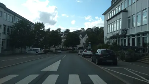
AWO "Jugendtreff Knast Lüdenscheid"
Monument and historic site · 1.7 km
Wachgebäude mit Arrestzellentrakt - des ehemaligen Kasernenkomplexes Buckesfeld
1 Alte Wache, Lüdenscheid
Mo-Fr 16:00-20:00; Sa-Su off
Kleiderkammer Lüdenscheid
Monument and historic site
Kapelle und Torbogen des alten evangelischen Friedhofes
29 Mathildenstraße, Lüdenscheid
Mo,We,Fr,Sa,Su off; Tu,Th 09:00-12:00
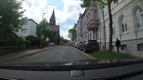
Psychologische Beratungsstelle Lüdenscheid
Monument and historic site
Historische Villa
15 Lessingstraße, Lüdenscheid
Mo,We,Th 09:00-12:00, 14:30-16:30; Tu,Fr 09:00-12:00; Sa-Su off

Evangelische Jugendhilfe Friedenshort GmbH - Ambulante Hilfen
Monument and historic site · 0.6 km
Wohnhaus
13 Liebigstraße, Lüdenscheid
Seniorenwohngemeinschaft "Villa Basse"
Monument and historic site · 1.1 km
Mehrfamilienhaus
10 Breslauer Straße, Lüdenscheid
Wohn- & Lebensgemeinschaft für psychisch behinderte Menschen
Monument and historic site · 1.0 km
Ehemalige Fabrikantenvilla
43 Schützenstraße, Lüdenscheid
Baudenkmal Sauerfelder Straße 7
Monument and historic site
Ehemalige Reichs- und Landeszentralbank
7 Sauerfelder Straße, Lüdenscheid

Evangelischer Friedhof Lüdenscheid-Mathildenstraße
Cemetery · Protestant
Alter evangelischer Friedhof
Historische Schule Winkhausen
Monument and historic site · 4.4 km
Das Gebäude steht zum Verkauf.
141 Volmestraße, Lüdenscheid
Regionalforstamt Märkisches Sauerland
Monument and historic site · 0.7 km
Ehemaliges Eichamt
42 Parkstraße, Lüdenscheid
53 more on the map.
Parks, trails and playgrounds52



Wildgehege Mesekendahl
Park · 5.6 km
1 Mesekendahl, Schalksmühle
We-Fr 13:00-18:00; Sa,Su,PH 10:00-19:00


Familienbad Nattenberg
Sports field and stadium · 1.3 km
59 Talstraße, Lüdenscheid
Mo 10:00-21:00; Tu-Fr 06:30-21:00; Sa,Su,PH 08:00-20:00

40 more on the map.
Restaurants and cafes194
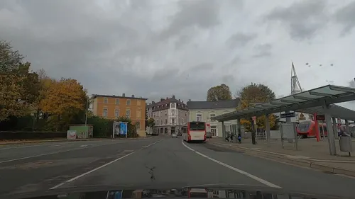
Landbäckerei Sommer
Bakery
Im Erdgeschoss des Pergamon-Zentrum.
2 Bahnhofsallee, Lüdenscheid
Mo-Fr 06:00-18:00; Sa 06:00-14:00; Su 08:00-15:00
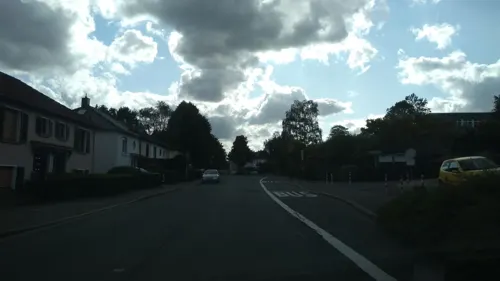
Restaurant Da Sebastiano
Restaurant · Italian · 1.4 km
Italienisches Restaurant
24 Buckesfelder Straße, Lüdenscheid
Mo off; Tu-Sa 11:30-14:00, 17:30-22:00; Su off
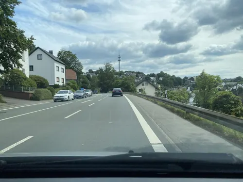
Restaurant Heerwiese
Restaurant · German · 2.1 km
Restaurantgebäude.
136 Heedfelder Straße, Lüdenscheid
Mo, Th, Fr, Sa, Su 11:00-14:30, 17:30-22:00; Tu,We off
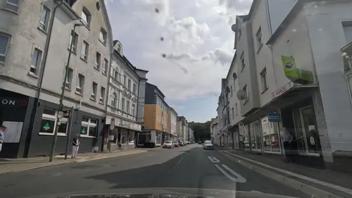
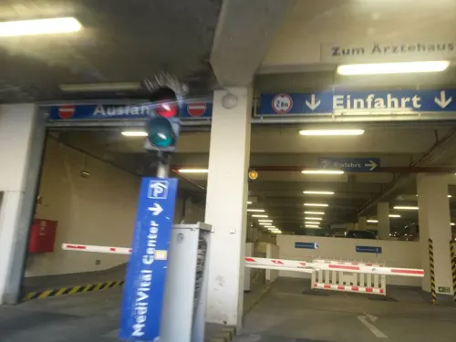
Eiscafe & Café Amore Mio
Ice cream · Ice Cream
Eiscafe
33 Knapper Straße, Lüdenscheid
Mo-Tu 12:00-20:00; We off; Th -Sa 12:00-22:00; Su 14:00-20:00

Wirtshaus zum Schwejk
Restaurant · German
Nachklassizistisch dekoriertes Wirtshaus
1 Kirchplatz, Lüdenscheid
Mo,We,Th,Fr,Sa 17:00-24:00; Tu off; Su 12:00-24:00; PH 12:00+
Steak-Haus Hulda
Restaurant · International
Restaurant
1, Lüdenscheid
Mo off; Tu-Sa 11:00-15:00, 17:30-22:00; Su 11:00-15:00
Steakhaus Restaurant Hubertus
Restaurant · Croatian, International
Restaurant.
1 Heedfelder Straße, Lüdenscheid
Mo 17:30-23:00; Tu off; We-Sa 12:00-14:30, 17:30-23:00; Su 12:00-22:00

Café - Der kleine Prinz
Restaurant · German
15 Luisenstraße, Lüdenscheid
Mo-Fr 10:00-17:00; Sa 09:00-15:00; Su off
182 more on the map.
History
While first settlement in the Lüdenscheid area is confirmed for the 9th century, the first mention of the place as a village was made in 1067 and as a city in 1268. In the 15th and 16th century Lüdenscheid was a member of the Hanseatic League. Since 1609 the town belonged to the Electorate of Brandenburg, the later Prussia. In 1815 it became part of the new Prussian Province of Westphalia, and 1975, with the creation of the Märkischer Kreis, became seat of its administration. In 1898 the aluminium framework of the first Zeppelin airship was built in the factory of Carl Berg in Lüdenscheid.
From the History section of Lüdenscheid on Wikipedia, under CC BY-SA 4.0.
More about Lüdenscheid
Geography
Lüdenscheid is located on the saddle of the watershed between the Lenne and Volme rivers which both empty into the Ruhr river (which subsequently flows into the Rhine), with three smaller valleys leading to them. The saddle has a height of 420 meters, higher elevations on the watershed are an unnamed hilltop of 505 meters in the north, and the 663 meters high Nordhelle in the Ebbe Mountains range. In the surrounding mountainous area, six dams created reservoirs to regulate the water flow in the Ruhr and supply drinking water. The mountainous nature of the city's territory gave rise to the nickname "Bergstadt" (mountain town). The original settlement circles around the church built on a ledge of the slope above the saddle.
Economy
Lüdenscheid is a predominantly industrial city with small and medium-sized firms in the metal and plastics industry. The largest company employs 2,000 people in Lüdenscheid, with other firms employing 800 people or less.
The economic importance came to the fore in the Middle Ages, when the city became a centre for metal ore mining in the surrounding area, through the ("osemund"/osmond iron). The ore was processed by the hammers and wire drawers of Lüdenscheid, serviced by water power in the surrounding valleys. A number of artisanal smitheries in Lüdenscheid made finished products out of those materials. In order to market these products to a wider area, Lüdenscheid joined the Hanseatic League.
With the emergence of the industrial age, the production of buttons and buckles played a large role, reflected in the Button Museum. Later, new materials like aluminium, bakelite, and plastics were adopted. A supporting industry producing the forms for the stamping, blanking, pressing and casting emerged and still plays an important part in Lüdenscheid's industry.
Production of parts of the auto industry and of fittings for electrical installations play an important role as well as continuous casting of aluminium profiles. Products notable to end consumers are lamps and lighting systems and toys.
Arts and culture
The Lüdenscheider Altstadtbühne is a part of the culture in Lüdenscheid. It is based in the Luisenstraße. The chairman is Christel Gabler. A well-known actor is Peter Zimmer.
Education
One of the five branches of South Westphalia University of Applied Sciences is in Lüdenscheid. See also the Fachhochschule Südwestfalen (FH SWF)), which offers various engineering programmes and is located in the city.
From the Wikipedia article Lüdenscheid, under CC BY-SA 4.0.
Notable people from Lüdenscheid
 Nuri ŞahinTurkish-German association football player (born 1988)Photo: Antalyaspor A.Ş., CC BY 2.0
 Georg Nöbelingmathematician (1907–2008)Photo: Konrad Jacobs, CC BY-SA 2.0 de
 Carl BergGerman entrepreneur and airship builder (1851–1906)Photo: Fotograf: J. Mader, Public domain
 Jochen BohlGerman Lutheran bishopPhoto: Miebner, CC BY-SA 3.0 de
 Susanne Jensenartist and author from GermanyPhoto: Comtheo69, CC BY-SA 4.0
 Matthias HeiderGerman politicianPhoto: Sauerlaenda, CC BY-SA 4.0
 Gordan DudasGerman politicianPhoto: Foto-AG Melle, CC BY-SA 3.0 de
- Karl GrünGerman journalist, political theorist and socialist politician (1817–1887)
- Helmuth GroscurthGerman officer (1898-1943)
- Gustav NottebohmGerman pianist, teacher, musical editor and composer (1817–1882)
- Frank Hübnersailor
- Walter SüskindDutch rescuer of Jewish children (1906–1945)
Born in Lüdenscheid, according to Wikidata (CC0). Each name links to its Wikipedia article.
Where to stay12
Churches and places of worship42
Gemeindebüro + Gemeindezentrum der Johanneskirche
Church · Protestant · 1.2 km
13 Lärchenweg, Lüdenscheid
Shopping55
Gas and EV charging18
Schools, colleges and libraries48
Katholische Erwachsenen- und Familienbildung im Bistum Essen
School · 0.7 km
6 Graf-von-Galen-Straße, Lüdenscheid
Zentrum für schulpraktische Lehrerausbildung des Landes Nordrhein-Westfalen
School · 0.6 km
39 Corneliusstraße, Lüdenscheid
Healthcare25
Zahnärztliche Gemeinschaftspraxis - Bodeit & Partner
Clinic and pharmacy
4 Winkhauser Straße, Lüdenscheid
Map of Lüdenscheid
250 places. The map loads OpenStreetMap tiles when you open it.
Getting there and nearby towns
Dortmund Airport (DTM) is the nearest airport with scheduled flights listed in OpenStreetMap, 33 km away.
- Schalksmühle 7 km west, about 7 min by car
- Altena 9 km north, about 9 min by car
- Halver 10 km southwest, about 10 min by car
- Herscheid 9 km southeast, about 9 min by car
- Kierspe 10 km south, about 10 min by car
- Werdohl 11 km northeast, about 11 min by car
- Nachrodt-Wiblingwerde 11 km north, about 11 min by car
- Breckerfeld 12 km west, about 12 min by car
- Meinerzhagen 13 km south, about 13 min by car
- Neuenrade 13 km northeast, about 13 min by car
Drive times are estimates from straight-line distance, not routes.
Towns near Lüdenscheid


Keep exploring
Local news
Headlines from INDB.
Reviews, tips and questions
Loading what members have shared...
Sources and licences
- GeoNames (CC BY 4.0): population, coordinates, regions and time zone
- Mapillary (see each image): photos
- OpenStreetMap contributors (ODbL 1.0): places, airports, map data
- Wikidata (CC0 1.0): elevation, founding date, time zone, website
- Wikimedia Commons (see each image): photos
- Wikipedia (CC BY-SA 4.0): overview and history text
Photo credits
- Luedenscheid-Rathaus1-Bubo, Bubo, CC BY-SA 3.0
- Lüdenscheid-Kulturhaus-01 new, derivative work: Pro2 ( talk ) Lüdenscheid-Kulturhaus-01.jpg : Silvercork The original uploader was Silvercork at German Wikipedia ., CC BY-SA 3.0
- Nattenbergstadion, PeLei, CC BY-SA 3.0
- PhaenomentaLuedenscheid01, Silvercork, CC BY-SA 3.0
- Lüdenscheid-Erlöserkirche-01, Silvercork, CC BY-SA 3.0
- Lüdenscheid, Pestalozzi-Grundschule, Silvercork, CC BY-SA 3.0
- Lüdenscheid Berufsschule, PeLei, CC BY-SA 3.0
- Lüdenscheid Kath Maria Koenigin 2, PeLei, CC BY 3.0
- Luedenscheid-HomertTurm1-Bubo, Bubo, CC BY-SA 3.0
- Lüdenscheid 56 ies, Frank Vincentz, CC BY-SA 3.0
- Stilleking-20.05.09 8, Ökologix, CC BY-SA 3.0
- Humboldt-Villa, Marco Nipkow, CC BY-SA 3.0
- Lüdenscheid Zeppelin-Gymnasium Edit, Original Autor PeLei, CC BY 3.0
- Lüdenscheid Ev Johanneskirche, PeLei, CC BY 3.0
- Lüdenscheid Versetalsperre FFSW PK 5212, Petra Klawikowski, CC BY-SA 3.0
- Fernhagener Bach und Jubachtal-1, Danny S., CC BY-SA 4.0
- Schulgebäude Bergstadt-Gymnasium Lüdenscheid, 12.3.2022, Dietmar Simon, CC BY-SA 4.0
- Lüd Markuskirche, PeLei, CC BY 3.0
- Kath Honsel 2, PeLei, CC BY 3.0
- 2018-05-06 NSG Stilleking MK-043 - 01, YvoBentele, CC BY-SA 4.0
- Lüdenscheid-Erlöserkirche-Südseite, SteveK, CC BY-SA 3.0
- Lüdenscheid Christuskirche 1, PeLei, CC BY 3.0
- Lüdenscheid Phänomenta FFSW PK 5346, Petra Klawikowski, CC BY-SA 3.0
- Lüdenscheid Nattenbergstadion FFSW PK 5427, Petra Klawikowski, CC BY-SA 3.0
- NSG Fernhagener Bach und Jubachtal-2, Danny S., CC BY-SA 4.0
- Street-level photo, uwekoch, CC BY-SA 4.0
- Street-level photo, uwekoch, CC BY-SA 4.0
- Street-level photo, dilara2001, CC BY-SA 4.0
- Street-level photo, uwekoch, CC BY-SA 4.0
- Street-level photo, uwekoch, CC BY-SA 4.0
- Street-level photo, dilara2001, CC BY-SA 4.0
- Street-level photo, baldur80, CC BY-SA 4.0
- Street-level photo, poxonline, CC BY-SA 4.0
- Street-level photo, uwekoch, CC BY-SA 4.0
- Street-level photo, uwekoch, CC BY-SA 4.0
- Street-level photo, uwekoch, CC BY-SA 4.0
- Street-level photo, uwekoch, CC BY-SA 4.0
- Street-level photo, poxonline, CC BY-SA 4.0
- Street-level photo, uwekoch, CC BY-SA 4.0
- Street-level photo, dilara2001, CC BY-SA 4.0
- Street-level photo, uwekoch, CC BY-SA 4.0
- Street-level photo, uwekoch, CC BY-SA 4.0
- Street-level photo, uwekoch, CC BY-SA 4.0
- Street-level photo, uwekoch, CC BY-SA 4.0
- Street-level photo, tasmaniadevil, CC BY-SA 4.0
- Street-level photo, uwekoch, CC BY-SA 4.0


Page built November 9, 2026. Spotted a mistake? Tell us or suggest a place.