


Why visit Kierspe
Townapedia lists 60 museums and landmarks, 63 parks and trails, 58 places to eat, 17 places to stay and 90 attractions in and around town.
Highlights include Homertturm, Kulturhaus Lüdenscheid, Altes Amtshaus and Altes Rathaus.
Weather in Kierspe
Forecast from MET Norway (CC BY 4.0). Full forecast
About Kierspe
Kierspe (German: [ˈkiːɐ̯spə] ) is a town in the district Märkischer Kreis, in North Rhine-Westphalia, Germany. It is located at the western edge of the Sauerland on Volme River.
From the Wikipedia article Kierspe (this version), under CC BY-SA 4.0.
Things to do90



78 more on the map.
Museums and landmarks60

Altes Amtshaus
Museum · 0.6 km
380 Friedrich-Ebert-Straße, Kierspe
We 15:00-18:00, PH off

Altes Rathaus
Monument and historic site · 4.8 km
FD 1/20 - Finanzmanagement - Vollstreckung
5 Oststraße, Meinerzhagen

Haus Rhade
Monument and historic site · 5.6 km
1,2 Haus Rhade, Kierspe


Reidemeisterhaus Voswinkel
Monument and historic site · 2.8 km
4 Jubachweg, Kierspe


48 more on the map.
Parks, trails and playgrounds63



51 more on the map.
Restaurants and cafes58

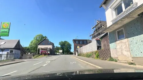
Bosphorus Schnellrestaurant
Restaurant · Pizza, Italian, Turkish · 1.7 km
98 Kölner Straße, Kierspe
Mo-Sa 11:00-23:00, Su 11:00-22:00
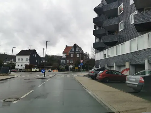
Heier Stuben
Restaurant · German · 7.1 km
7 Leppestraße, Marienheide
Mo-Sa 17:00-22:00; We off; Su 11:00-14:00,17:00-22:00
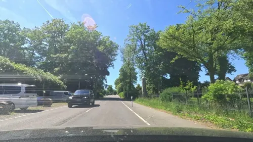
KLÖN CAFÉ
Cafe · Coffee Shop, Breakfast, Cake · 6.6 km
9 Hauptstraße, Rönsahl
Mo-Th 10:00-17:00; Sa-Su 14:00-17:00
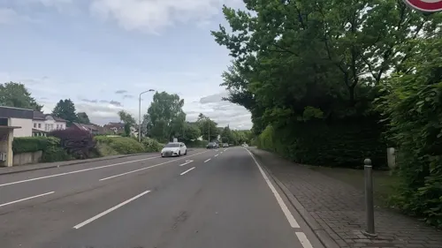
Nayanas
Restaurant · Thai · 0.7 km
235 Friedrich-Ebert-Straße, Kierspe
Mo-Th 11:00-21:00, Fr 11:00-22:00, Sa 17:00-22:00, Su off

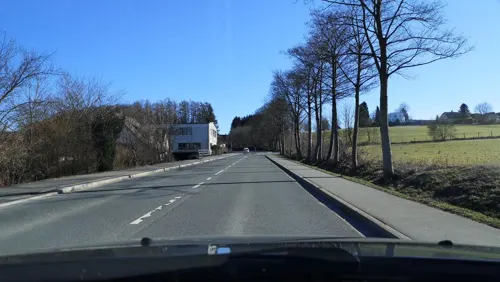
Ema Restaurant
Restaurant · Asian, Vietnamese · 7.1 km
29 Gummersbacher Straße, Marienheide
Tu-Su 12:00-22:00
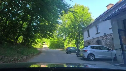
Kaffeerösterei Pagnia
Cafe · 5.9 km
20 Zum Waldfrieden, Marienheide
Mar-Oct Fr-Su 12:00-18:00; Nov-Feb Fr-Su 12:00-17:00


Wirtshaus in der Altstadt
Restaurant · International · 4.6 km
Mo-Fr 11:30-14:30,17:00-23:00; Sa 17:00-23:00; Su 11:30-23:00
Anatolien Restaurant
Restaurant · Kebab · 4.6 km
9 Hauptstraße, Meinerzhagen
Mo-Fr 11:30-22:00; Sa 14:00-22:00; PH,Su 15:00-22:00
46 more on the map.
History
The first mention of Kierspe was in 1003, when the castle 'Haus Rhade' was first mentioned in a manuscript. On this basis Kierspe celebrated its 1000th anniversary in 2003. Around 1490 Kierspe became the seat of the Heilige Feme, an independent jury of commoners with the right to mete out the death penalty. Such Feme juries were common in Westphalia at the time.
In 1968, as part of the reorganization of the former district Altena, the city of Kierspe was formed by merging the Amt of Kierspe with the municipality of Rönsahl. On 1 January 1969 Kierspe officially obtained city rights.
From the History section of Kierspe on Wikipedia, under CC BY-SA 4.0.
Where to stay17
Christian Retreat Centre Holzwipper
Motel and hotel · 4.8 km
51 Höfeler Landstraße, Marienheide
Churches and places of worship31
Sankt Mariä Heimsuchung
Church · Roman Catholic · 7.0 km
6 Klosterstraße, Marienheide
Sankt Ludwig Maria Grignion von Montfort
Church · Roman Catholic · 7.0 km
Hauptstraße, Marienheide
Shopping19
Gas and EV charging8
Schools, colleges and libraries18
Healthcare7
Map of Kierspe
250 places. The map loads OpenStreetMap tiles when you open it.
Getting there and nearby towns
Dortmund Airport (DTM) is the nearest airport with scheduled flights listed in OpenStreetMap, 43 km away.
- Meinerzhagen 5 km southeast, about 5 min by car
- Marienheide 7 km southwest, about 7 min by car
- Lüdenscheid 10 km north, about 10 min by car
- Schalksmühle 13 km north, about 13 min by car
- Wipperfürth 14 km west, about 14 min by car
- Radevormwald 18 km northwest, about 18 min by car
- Werdohl 19 km northeast, about 19 min by car
- Lindlar 20 km southwest, about 20 min by car
- Plettenberg 21 km northeast, about 21 min by car
- Olpe 22 km southeast, about 22 min by car
Drive times are estimates from straight-line distance, not routes.
Local news
Headlines from INDB.
Reviews, tips and questions
Loading what members have shared...
Sources and licences
- GeoNames (CC BY 4.0): population, coordinates, regions and time zone
- Mapillary (see each image): photos
- OpenStreetMap contributors (ODbL 1.0): places, airports, map data
- Wikidata (CC0 1.0): elevation, founding date, time zone, website, landmarks and historic places
- Wikimedia Commons (see each image): photos
- Wikipedia (CC BY-SA 4.0): overview and history text
Photo credits
- Lüdenscheid-Kulturhaus-01 new, derivative work: Pro2 ( talk ) Lüdenscheid-Kulturhaus-01.jpg : Silvercork The original uploader was Silvercork at German Wikipedia ., CC BY-SA 3.0
- Kierspe Rhadermühle - Alter Mühlenweg - Haus Rhade 01 ies, Frank Vincentz, CC BY-SA 3.0
- Kierspe - Amtshaus 05 ies, Frank Vincentz, CC BY-SA 3.0
- Kierspe Rönsahl - Kirchstraße - Servatiuskirche 03 ies, Frank Vincentz, CC BY-SA 3.0
- Meinerzhagen - Jesus-Christus-Kirche 01 ies, Frank Vincentz, CC BY-SA 3.0
- Luedenscheid-HomertTurm1-Bubo, Bubo, CC BY-SA 3.0
- Kierspe - Margarethenkirche 03 ies, Frank Vincentz, CC BY-SA 3.0
- Meinerzhagen Schloss Badinghagen FFSW-0400, Michael Kramer, CC BY-SA 3.0
- Kierspe - St Josef 01 ies, Frank Vincentz, CC BY-SA 3.0
- Flugplatz Meinerzhagen und Landesstraße 306 links oben angeschnitten die Wupperquellen FFSW-0912, Michael Kramer, CC BY-SA 3.0
- NSG Antlenbachtal (17), DiAuras, CC BY-SA 4.0
- NSG Antlenbachtal (10), DiAuras, CC BY-SA 4.0
- HAKaWallfahrtskirche Marienheide, Unknown author, CC BY-SA 3.0
- Kierspe Rhadermühle - Alter Mühlenweg - Haus Rhade 03 ies, Frank Vincentz, CC BY-SA 3.0
- NSG Antlenbachtal (32), DiAuras, CC BY-SA 4.0
- Meinerzhagen, Oststraße, Altes Rathaus von 1857, Arnoldius, CC BY-SA 4.0
- Kierspe Fritz-Linde-Museum, Arnoldius, CC BY-SA 3.0
- Stolperstein Meinerzhagen Zur Alten Post 8 Erna Stern, Tomtom10, CC BY-SA 4.0
- Street-level photo, uwekoch, CC BY-SA 4.0
- Street-level photo, uwekoch, CC BY-SA 4.0
- Street-level photo, uwekoch, CC BY-SA 4.0
- Street-level photo, ASRvw, CC BY-SA 4.0
- Street-level photo, simonikes, CC BY-SA 4.0
- Street-level photo, uwekoch, CC BY-SA 4.0
- Street-level photo, uwekoch, CC BY-SA 4.0
- Street-level photo, uwekoch, CC BY-SA 4.0
- Street-level photo, simonikes, CC BY-SA 4.0
- Street-level photo, fuffel, CC BY-SA 4.0
- Street-level photo, thoschi, CC BY-SA 4.0
- Street-level photo, uwekoch, CC BY-SA 4.0
- Street-level photo, uwekoch, CC BY-SA 4.0
- Street-level photo, baldur80, CC BY-SA 4.0
- Street-level photo, uwekoch, CC BY-SA 4.0
- Street-level photo, VIA_DT, CC BY-SA 4.0


Page built November 8, 2026. Spotted a mistake? Tell us or suggest a place.