


Marienheide, Germany
Marienheide is a town of 13,759 people in North Rhine-Westphalia, Germany.
Why visit Marienheide
Townapedia lists 31 museums and landmarks, 26 parks and trails, 37 places to eat, 13 places to stay and 61 attractions in and around town.
Highlights include Toffi's Milchbar, Hauerberg, Haus Dahl and Schwarzpulvermuseum Villa Ohl.
Weather in Marienheide
Forecast from MET Norway (CC BY 4.0). Full forecast
About Marienheide
Marienheide (German pronunciation: [maˈʁiːənˌhaɪdə]) is a municipality in the Oberbergischer Kreis, in North Rhine-Westphalia, Germany.
From the Wikipedia article Marienheide (this version), under CC BY-SA 4.0.
Things to do61




49 more on the map.
Museums and landmarks31

Haus Dahl
Museum · 4.7 km
Historisches Bauernhaus, ältestes in Oberberg
3 Dahl, Marienheide
Su 14:00-18:00; Nov-Mar off




19 more on the map.
Parks, trails and playgrounds26



14 more on the map.
Restaurants and cafes37
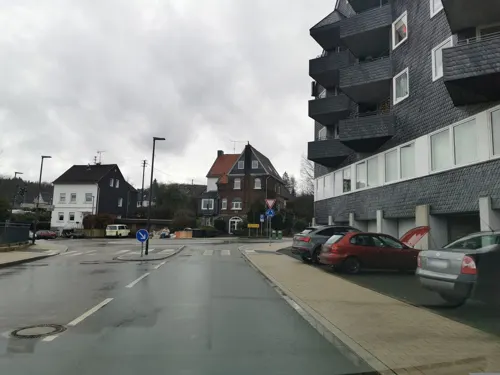
Heier Stuben
Restaurant · German
7 Leppestraße, Marienheide
Mo-Sa 17:00-22:00; We off; Su 11:00-14:00,17:00-22:00
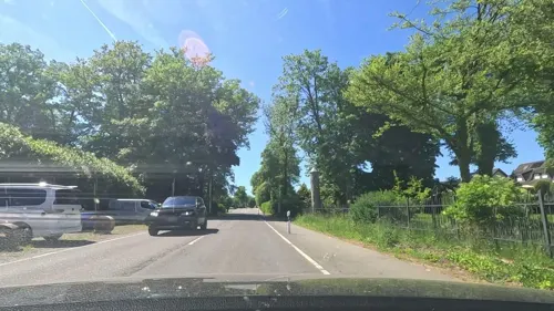
KLÖN CAFÉ
Cafe · Coffee Shop, Breakfast, Cake · 3.8 km
9 Hauptstraße, Rönsahl
Mo-Th 10:00-17:00; Sa-Su 14:00-17:00
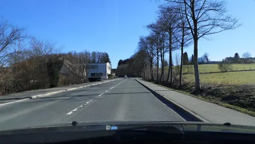
Ema Restaurant
Restaurant · Asian, Vietnamese · 2.0 km
29 Gummersbacher Straße, Marienheide
Tu-Su 12:00-22:00
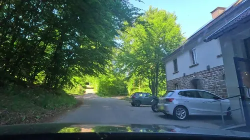
Kaffeerösterei Pagnia
Cafe · 1.6 km
20 Zum Waldfrieden, Marienheide
Mar-Oct Fr-Su 12:00-18:00; Nov-Feb Fr-Su 12:00-17:00


Bäckerei & Konditorei Kelm
Bakery · 3.5 km
41 Hauptstraße, Kierspe
Mo,Tu,Th,Fr 06:00-13:00,14:30-18:00; We,Sa 06:00-13:00; Su...
Hofcafé Kaffeekännchen
Cafe · Cake · 2.4 km
3 Lindenweg, Marienheide
Th-Fr 14:00-18:00; Sa,Su 13:00-18:00
Im Krug
Restaurant · German · 2.4 km
Mo-Fr 12:00-14:00; Mo-Sa 17:30-21:00


25 more on the map.
History
The first documentary mention of the place was in 1417 " in a sales document is called Heydenreich of our dear Mrs. Knecht on the Mergenheyde " (Documentary first namings of oberbergischer places v. Klaus Pampus).
On the altar lights of the old pilgrimage church a signed coat of arms of 1601 which carries the name "Mergenheyd" is to be seen. An old brochure of the Catholic vicarage Marienheide states: " The origin of the mercy place Marienheide dates back to 1420 and to one particular man. " This person, a simple man called Heinrich, lived as a hermit in a hit rock hiding place in the " Bockelsburger Wood ", near the present-day railroad line. The hermit apparently lived from agriculture. Another chronicle, not described further, is stated as a source, and thus one says further that " the mother of God appeared to this keen Heinrich in the form of a small picture and ordered to him to proceed to Cologne to purchase a similar little picture for thirty pieces of silver. " With this the foundation for the place of pilgrimage was laid. Hermit Heinrich has been found with Count Gerhard of the Mark, the sovereign at that time, support, so that Pope Martin V as well as the preacher's order interested. Thus was built "in the wilderness" the first little church and, a little way away, the Dominican order's cloister.
From the History section of Marienheide on Wikipedia, under CC BY-SA 4.0.
Where to stay13
Christian Retreat Centre Holzwipper
Motel and hotel · 3.1 km
51 Höfeler Landstraße, Marienheide
Churches and places of worship19
Sankt Johann Baptist
Church · Roman Catholic · 4.7 km
Pastoratsstraße, Marienheide
Sankt Mariä Heimsuchung
Church · Roman Catholic
6 Klosterstraße, Marienheide
Arme-Seelen-Kapelle
Church · Roman Catholic · 4.7 km
Pastoratsstraße, Marienheide
Sankt Ludwig Maria Grignion von Montfort
Church · Roman Catholic
Hauptstraße, Marienheide
Ev. Baptisten Brudergemeinde Marienheide
Church · Baptist · 2.3 km
8 Zum Winkeler Berg, Marienheide
Shopping8
Gas and EV charging3
Schools, colleges and libraries10
Healthcare3
Landesklinik Marienheide - Zentrum für seelische Gesundheit
Hospital · 0.9 km
65-67 Leppestraße, Marienheide
Map of Marienheide
211 places. The map loads OpenStreetMap tiles when you open it.
Getting there and nearby towns
Cologne Bonn Airport (CGN) is the nearest airport with scheduled flights listed in OpenStreetMap, 36 km away.
- Meinerzhagen 9 km east, about 9 min by car
- Wipperfürth 10 km west, about 10 min by car
- Radevormwald 18 km northwest, about 18 min by car
- Schalksmühle 18 km north, about 18 min by car
- Nümbrecht 20 km south, about 20 min by car
- Wermelskirchen 23 km west, about 23 min by car
- Much 22 km southwest, about 22 min by car
- Olpe 23 km east, about 23 min by car
- Overath 24 km southwest, about 24 min by car
- Remscheid 26 km northwest, about 26 min by car
Drive times are estimates from straight-line distance, not routes.
Local news
Headlines from INDB.
Reviews, tips and questions
Loading what members have shared...
Sources and licences
- GeoNames (CC BY 4.0): population, coordinates, regions and time zone
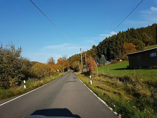
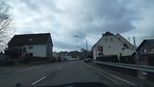
- Mapillary (see each image): photos
- OpenStreetMap contributors (ODbL 1.0): places, airports, map data
- Wikidata (CC0 1.0): elevation, founding date, time zone, website
- Wikimedia Commons (see each image): photos
- Wikipedia (CC BY-SA 4.0): overview and history text
Photo credits
- Marienheide - Hauptstraße - Klausner-Heinrich-Denkmal 06, Velopilger, CC0
- Marienheide - Hauptstraße - Klausner-Heinrich-Denkmal 07, Velopilger, CC0
- Marienheide - Hauptstraße - Klausner-Heinrich-Denkmal 05, Velopilger, CC0
- Marienheide (DE), Gefällte Bäume -- 2022 -- 0383, Anil Öztas, CC BY-SA 4.0
- Marienheide (DE), Gefällte Bäume -- 2022 -- 0294, Anil Öztas, CC BY-SA 4.0
- Larix decidua, Marienheide (DE) -- 2022 -- 0299, Anil Öztas, CC BY-SA 4.0
- Marienheide (DE), Gefällte Bäume -- 2022 -- 0380, Anil Öztas, CC BY-SA 4.0
- Marienheide (DE), Lingesetalsperre -- 2022 -- 0302, Anil Öztas, CC BY-SA 4.0
- Marienheide (DE), Lingesetalsperre -- 2022 -- 0378, Anil Öztas, CC BY-SA 4.0
- Marienheide (DE), Lingesetalsperre -- 2022 -- 0312, Anil Öztas, CC BY-SA 4.0
- Marienheide (DE), Lingesetalsperre -- 2022 -- 0337, Anil Öztas, CC BY-SA 4.0
- Marienheide (DE), Haus im Wald -- 2022 -- 0316, Anil Öztas, CC BY-SA 4.0
- Marienheide (DE), Lingesetalsperre -- 2022 -- 0342, Anil Öztas, CC BY-SA 4.0
- Marienheide (DE), Lingesetalsperre -- 2022 -- 0360, Anil Öztas, CC BY-SA 4.0
- Schloss Gimborn 09, Dickelbers, CC BY-SA 4.0
- Marienheide Gimborn - Sankt Johann Baptist 02 ies, Frank Vincentz, CC BY-SA 3.0
- Kirche Hülsenbusch 2, me, Public domain
- Wehrkirche Marienheide-Müllenbach Vogelperspektive, Muellenbach79, CC BY-SA 3.0
- Kierspe Rönsahl - Kirchstraße - Servatiuskirche 03 ies, Frank Vincentz, CC BY-SA 3.0
- Unnenberg Oberbergisches Land, AndreasFahrrad, CC BY-SA 3.0
- Flugplatz Meinerzhagen und Landesstraße 306 links oben angeschnitten die Wupperquellen FFSW-0912, Michael Kramer, CC BY-SA 3.0
- Unnenbergturm, Jörg Braukmann, CC BY-SA 4.0
- Kapellenweg 4 -Kempershöhe (Marienheide) Drehorgelmuseum, DiAuras, CC BY-SA 4.0
- GM-051 Nass- und Feuchtgrünlandkomplex östl. Holzwipper (7), DiAuras, CC BY-SA 4.0
- Oberes Lindlarer Sülztal bei Orbach, DiAuras, CC BY-SA 4.0
- GM-051 Nass- und Feuchtgrünlandkomplex östl. Holzwipper (10), DiAuras, CC BY-SA 4.0
- Oberes Lindlarer Sülztal bei Klemenseichen, DiAuras, CC BY-SA 4.0
- Schloss Gimborn (2), DiAuras, CC BY-SA 4.0
- Haus der Geschichten, Okoenigs at German Wikipedia, Public domain
- Evangelische Kirche (Müllenbach) (01), Chris06, CC BY-SA 4.0
- Ev Kirche Huelsenbusch, Sebastian Hirsch, CC BY-SA 3.0
- Aggertalsperre und Unnenberg, Jörg Braukmann, CC BY-SA 4.0
- HAKaWallfahrtskirche Marienheide, Unknown author, CC BY-SA 3.0
- Marienheide Gimborn - Sankt Johann Baptist 01 ies, Frank Vincentz, CC BY-SA 3.0
- Kapellenweg 4 - Kempershöhe (Marienheide), DiAuras, CC BY-SA 4.0
- Lingesetalsperre 18.01.2024 (47), DiAuras, CC BY-SA 4.0
- NSG GM-077 (7), DiAuras, CC BY-SA 4.0
- NSG GM-077 (14), DiAuras, CC BY-SA 4.0
- NSG GM-077 (11), DiAuras, CC BY-SA 4.0
- Lingesetalsperre 18.01.2024 (68), DiAuras, CC BY-SA 4.0
- Kierspe Fritz-Linde-Museum, Arnoldius, CC BY-SA 3.0
- Street-level photo, ASRvw, CC BY-SA 4.0
- Street-level photo, uwekoch, CC BY-SA 4.0
- Street-level photo, uwekoch, CC BY-SA 4.0
- Street-level photo, fuffel, CC BY-SA 4.0
- Street-level photo, simonikes, CC BY-SA 4.0
- Street-level photo, uwekoch, CC BY-SA 4.0
- Street-level photo, bravewaffle, CC BY-SA 4.0
- Street-level photo, fuffel, CC BY-SA 4.0
- Street-level photo, uwekoch, CC BY-SA 4.0
- Street-level photo, simonikes, CC BY-SA 4.0
- Street-level photo, uwekoch, CC BY-SA 4.0
- Street-level photo, simonikes, CC BY-SA 4.0
- Street-level photo, uwekoch, CC BY-SA 4.0
- Street-level photo, fuffel, CC BY-SA 4.0


Page built November 8, 2026. Spotted a mistake? Tell us or suggest a place.