


Why visit Scheeßel
Townapedia lists 59 museums and landmarks, 23 parks and trails, 90 places to eat, 11 places to stay and 18 attractions in and around town.
Highlights include Brunkshof Hofladen, Röpers Hofladen, Heimatmuseum and Meyerhof.
Weather in Scheeßel
Forecast from MET Norway (CC BY 4.0). Full forecast
About Scheeßel
Scheeßel (German pronunciation: [ˈʃeːsl̩]; Northern Low Saxon: Scheeßl) is a municipality in the district of Rotenburg, in Lower Saxony, Germany. It is situated on the river Wümme, approx. 10 km northeast of Rotenburg, 45 km east of Bremen, and 70 km southwest of Hamburg.
From the Wikipedia article Scheeßel (this version), under CC BY-SA 4.0.
Things to do18




6 more on the map.
Museums and landmarks59



Dat ole Sprüttenhus
Monument and historic site · 7.8 km
Heimatverein
Mühlenstraße, Stemmen

Brunkshof
Monument and historic site · 7.6 km
Hofführungen auf dem Bauernhof
13 Eichenstraße, Stemmen


Historischer Grenzstein Hinrich Wahlers
Monument and historic site · 3.2 km
Griemshoop, Helvesiek

Meilenstein
Monument and historic site
Rundsockelstein (Prellstein Napoleonbrücke), vor Große Straße 14 - 16 in Scheeßel

47 more on the map.
Parks, trails and playgrounds23






Tister Bauernmoor
Park · 12.5 km
Nature reserve in Lower Saxony, Germany


Wümmeniederung mit Rodau, Wiedau und Trochelbach
Hiking and trails · 6.9 km


11 more on the map.
Restaurants and cafes90
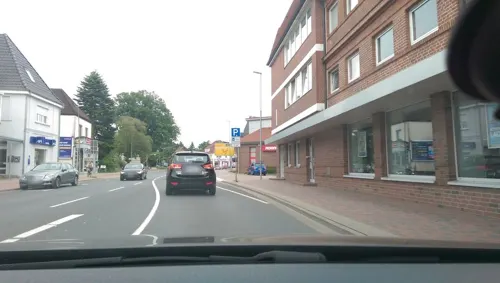
Adria
Restaurant · Kroatisch · 9.1 km
29 Mühlenstraße, Rotenburg (Wümme)
Tu-Su 11:30-14:30, 17:30-23:00

CafeSitoBar
Restaurant · International · 8.6 km
2 Große Straße, Rotenburg (Wümme)
Mo-Fr 08:00-16:00; Sa 08:00-13:00

Café Schrader
Cafe · Coffee Shop, Cake, Tea, Pastry · 8.4 km
27 Große Straße, Rotenburg (Wümme)
Mo-Fr 07:00-18:30, Sa-Su 07:00-18:00
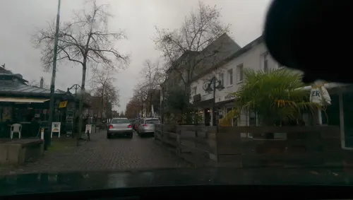
Castell
Restaurant · Greek · 8.1 km
73 Große Straße, Rotenburg (Wümme)
We-Mo 11:30-14:00,18:00-22:00;Tu off
Helscher Hus
Restaurant · German · 5.0 km
2 Schulstraße, Helvesiek
17:30-23:00; Sa 11:30-13:30,17:30-23:00; Su 10:00-23:00; Tu,Th off
Luca & Luigi
Restaurant · Italian, Pizza, Seafood · 9.3 km
6 Verdener Straße, Rotenburg (Wümme)
Mo-We 18:00-22:00
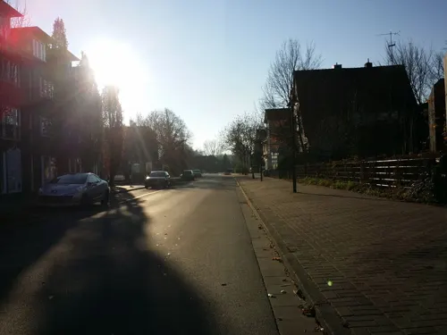
Pinocchio Espressobar
Cafe · Italian, Pizza · 8.7 km
3-4 Am Pferdemarkt, Rotenburg (Wümme)
We-Sa 11:00-14:00, 16:30-22:00; Su 12:30-14:00, 16:30-22:00
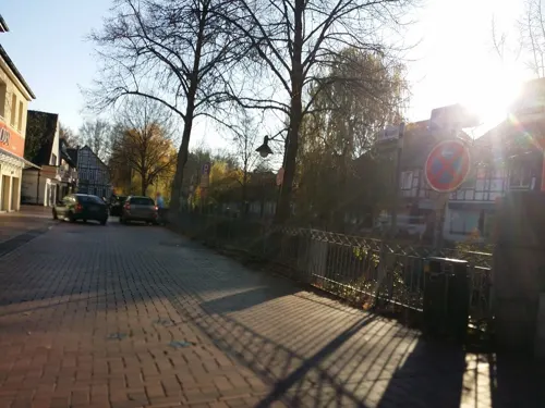
Schnitzelhus
Restaurant · Österreichisch, Schnitzel · 8.5 km
21a Große Straße, Rotenburg (Wümme)
Mo, We-Fr 17:00-22:00; Sa-Su 12:00-14:30, 17:00-22:00


Viet Kitchen
Restaurant · Asian, Sushi, Vietnamese · 7.3 km
57 Harburger Straße, Rotenburg (Wümme)
Tu-Sa 11:30-15:00, 16:30-22:00; Su 12:00-22:00
78 more on the map.
History
Scheeßel belonged to the Prince-Bishopric of Verden, established in 1180. In 1648 the Prince-Bishopric was transformed into the Principality of Verden, which was first ruled in personal union by the Swedish Crown – interrupted by a Danish occupation (1712 to 1715) – and from 1715 on by the Hanoverian Crown. The Kingdom of Hanover incorporated the Principality in a real union and the Princely territory, including Scheeßel, became part of the new Stade Region, established in 1823.
The village celebrated its 1,200th anniversary in 2005. However, this was based on the mention of Skaesla in the Diedenhofener Kapitular, issued by Charlemagne on 24 December 805 in Diedenhofen (now Thionville), and there are rival theories as to where Skaesla might be.
The village is host to the annual Hurricane Festival close to the Eichenring motorcycle speedway.
From the History section of Scheeßel on Wikipedia, under CC BY-SA 4.0.
Where to stay11
Churches and places of worship22
Ev.-luth. Michaelskirche
Church · Lutheran · 9.9 km
8 Bischofstraße, Rotenburg (Wümme)
Auferstehungskirche
Church · Lutheran · 7.3 km
19 Berliner Ring, Rotenburg (Wümme)
Freie evangelische Gemeinde
Church · Protestant · 8.3 km
3 Bergstraße, Rotenburg (Wümme)
Neuapostolische Kirche
Church · New Apostolic · 7.6 km
4 Angerburger Straße, Rotenburg (Wümme)
Shopping43
Gas and EV charging16
Schools, colleges and libraries24
Fachschule für Sozialpädagogik/ Berufsfachschule Sozialassistent/in
School · 8.3 km
17 Elise-Averdieck-Straße, Rotenburg (Wümme)
Healthcare12
Map of Scheeßel
250 places. The map loads OpenStreetMap tiles when you open it.
Getting there and nearby towns
Hamburg Finkenwerder Airport (XFW) is the nearest airport with scheduled flights listed in OpenStreetMap, 47 km away.
- Tostedt 20 km northeast, about 20 min by car
- Zeven 20 km northwest, about 20 min by car
- Schneverdingen 21 km east, about 21 min by car
- Visselhövede 21 km south, about 21 min by car
- Kirchlinteln 27 km southwest, about 27 min by car
- Soltau 31 km southeast, about 31 min by car
- Verden 32 km southwest, about 32 min by car
- Walsrode 35 km south, about 35 min by car
- Seevetal 41 km northeast, about 41 min by car
- Bremen 46 km west, about 46 min by car
Drive times are estimates from straight-line distance, not routes.
Local news
Headlines from INDB.
Reviews, tips and questions
Loading what members have shared...
Sources and licences
- GeoNames (CC BY 4.0): population, coordinates, regions and time zone
- Mapillary (see each image): photos
- OpenStreetMap contributors (ODbL 1.0): places, airports, map data
- Wikidata (CC0 1.0): elevation, founding date, time zone, website, landmarks and historic places
- Wikimedia Commons (see each image): photos
- Wikipedia (CC BY-SA 4.0): overview and history text
Photo credits
- Scheeßel - Sankt Lukas-Gerichtslinde 01 ies, Frank Vincentz, CC BY-SA 3.0
- Bahnhofsschild Scheeßel, Clic, CC BY-SA 4.0
- Wohn- und Kontorhaus der Wassermühle Scheeßel, GerritMS, CC BY-SA 4.0
- Ansicht der Scheeßeler Mühle, GerritMS, CC BY-SA 4.0
- Wasserseite der Scheeßeler Mühle, GerritMS, CC BY-SA 4.0
- Tister Moor, Goele, Public domain
- Hemslinger Moor 001, Smarties, CC BY-SA 4.0
- Mühlenbachsee 001, Smarties, CC BY-SA 4.0
- Rotenburg ev Stadtkirche, bukk, CC BY-SA 3.0
- Veerse bei Westervesede, Fario, CC BY-SA 3.0
- Naturschutzgebiet Kleines Moor bei Sothel, Smarties, CC BY-SA 4.0
- Stellmoor und Weichel 001, Smarties, CC BY-SA 4.0
- Stolpersteine Rotenburg (Wümme) – Gertrud Cohn, FlorianKlu, CC0
- Dat ole Sprüttenhus in Stemmen, smarties, CC BY-SA 4.0
- Historischer Grenzstein in Griemshoop - Hinrich Wahlers 1871, smarties, CC BY-SA 4.0
- Kriegsopferstätte Helvesiek, smarties, CC BY-SA 4.0
- NSG Kinderberg-Stellbach, Looksjoa, CC BY-SA 4.0
- Scheeßel - Wümme, Oxfordian Kissuth, CC BY-SA 3.0
- Abenteuerspielpatz Lauenbrück Habichtallee, smarties, CC BY-SA 4.0
- Corpus Christi Rotenburg, HeinrichJürgensen, Public domain
- Ruheforst Lauenbrück Andachtsplatz, smarties, CC BY-SA 4.0
- Oberschule Lauenbrück, smarties, CC BY-SA 4.0
- Grundschule, Sportverein und Sportplatz in Stemmen, smarties, CC BY-SA 4.0
- Grundschule Lauenbrück, smarties, CC BY-SA 4.0
- Rotenburg Corpus SW, Kirchenfan, CC0
- Scheessel Rundsockelstein, Radler59 ( talk ), CC BY-SA 4.0
- StLukasKircheScheesselSO, Sir Gawain, CC BY-SA 2.0 de
- StLukasKircheScheesselKirchturmSO, Sir Gawain, CC BY-SA 2.0 de
- 2015-05 ND-Gerichtslinde-Scheessel Niedersachsen 01, Yvonne Bentele, CC BY-SA 3.0
- 2015-05 ND-Gerichtslinde-Scheessel Niedersachsen 02, Yvonne Bentele, CC BY-SA 3.0
- 2015-05 ND-Gerichtslinde-Scheessel Niedersachsen 03, Yvonne Bentele, CC BY-SA 3.0
- Scheessel Rundsockelstein-02, Radler59 ( talk ), CC BY-SA 4.0
- Scheessel Rundsockelstein-01, Radler59 ( talk ), CC BY-SA 4.0
- StLukasKircheScheesselPfarrhaus, Sir Gawain, CC BY-SA 2.0 de
- StLukasKircheScheessel02, Sir Gawain, CC BY-SA 2.0 de
- StLukasKircheScheesselTurm, Sir Gawain, CC BY-SA 2.0 de
- Beeke 001, smarties, CC BY-SA 4.0
- Infant drinks milk from bottle, Beeki, CC0
- Rasierklingen Schneid Partie mit Oszillieren 3415 KK, Klaus Kampf, CC BY-SA 3.0 de
- V 200 by Niederkasseler - panoramio (1), Niederkasseler, CC BY-SA 3.0
- Skulptur an der Cohn-Scheune (Matthias Bantz) 3, Gerd Fahrenhorst, CC BY 4.0
- Street-level photo, moenk, CC BY-SA 4.0
- Street-level photo, moenk, CC BY-SA 4.0
- Street-level photo, moenk, CC BY-SA 4.0
- Street-level photo, moenk, CC BY-SA 4.0
- Street-level photo, hotteliene, CC BY-SA 4.0
- Street-level photo, live, CC BY-SA 4.0
- Street-level photo, live, CC BY-SA 4.0
- Street-level photo, abausd, CC BY-SA 4.0
- Street-level photo, abausd, CC BY-SA 4.0
- Street-level photo, live, CC BY-SA 4.0
- Street-level photo, hendel, CC BY-SA 4.0
- Street-level photo, hotteliene, CC BY-SA 4.0
- Street-level photo, abausd, CC BY-SA 4.0
- Street-level photo, abausd, CC BY-SA 4.0
- Street-level photo, live, CC BY-SA 4.0
- Street-level photo, moenk, CC BY-SA 4.0
- Street-level photo, hendel, CC BY-SA 4.0
- Street-level photo, live, CC BY-SA 4.0
- Street-level photo, live, CC BY-SA 4.0
- Street-level photo, abausd, CC BY-SA 4.0
- Street-level photo, abausd, CC BY-SA 4.0


Page built November 8, 2026. Spotted a mistake? Tell us or suggest a place.