


Why visit Hemmoor
Townapedia lists 24 museums and landmarks, 6 parks and trails, 29 places to eat, 7 places to stay and 2 attractions in and around town.
Highlights include Schwebefähre Osten-Hemmoor, Heimat- und Buddelmuseum, Hemmorium and Westerberg und oberes Hackemühlener Bachtal.
Weather in Hemmoor
Forecast from MET Norway (CC BY 4.0). Full forecast
About Hemmoor
Hemmoor (German pronunciation: [ˈhɛmoːɐ̯]) is a small town in the district of Cuxhaven, in Lower Saxony, Germany. It is situated near the river Oste, approx. 40 km northeast of Bremerhaven, and 25 km south of Brunsbüttel.
From the Wikipedia article Hemmoor (this version), under CC BY-SA 4.0.
Things to do2


Museums and landmarks24




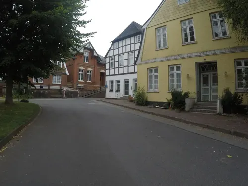



Ehrenmal
Monument and historic site · 2.1 km
Denkmal am Außenmuseum der ehem. Deutschen Zementwerke Hemmoor
12 more on the map.
Parks, trails and playgrounds6

Westerberg und oberes Hackemühlener Bachtal
Hiking and trails · 4.6 km
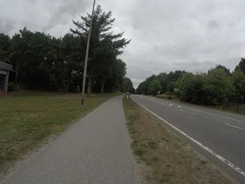
Hallen- und Heidestrandbad Hemmoor
Sports field and stadium · 0.9 km
Mo 06:00-08:00,15:00-21:00; Tu,Th 15:00-21:00; We...


Restaurants and cafes29
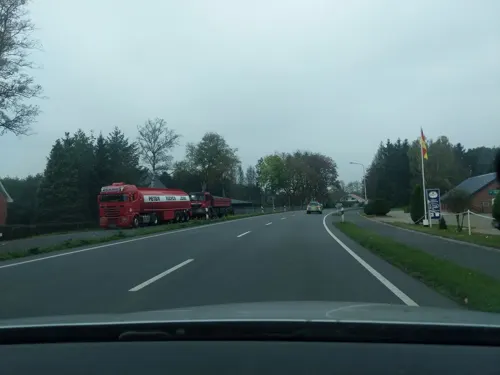
Zur Linde
Restaurant · German, Regional · 5.2 km
14 Basbecker Straße, Hechthausen
Mo-Sa 17:00-22:00; Su 11:00-21:00

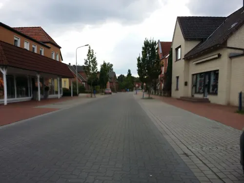
FLAMINGO
Restaurant · Burger, Salad, Regional, Pizza · 1.1 km
Bistro & Bar
23 Bahnhofstraße, Hemmoor
Tu-Su,PH 11:00-22:00
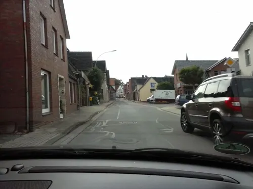
Altes Amtsgericht
Restaurant · Regional · 2.6 km
22 Lange Straße
We-Sa 18:00+; Su,PH 12:00-15:00,18:00+
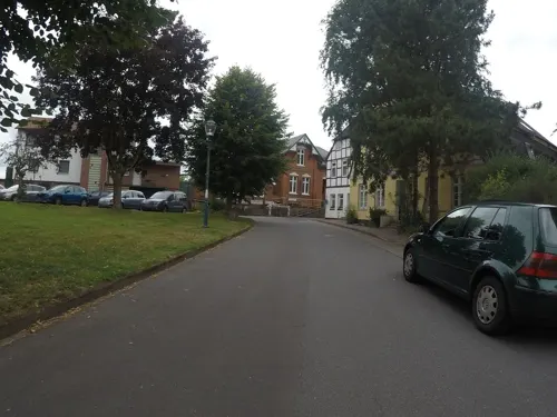
Café Central Osten
Cafe · 2.3 km
2 Am Markt, Osten
We-Fr 12:00-18:00; Sa,Su,PH 09:00-18:00
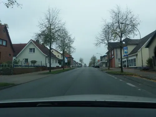
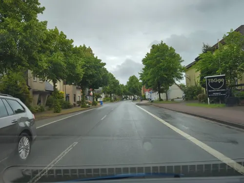
ToGao
Restaurant · Asian, Sushi, Vietnamese · 1.9 km
Mo-Sa 11:30-22:00; Su 12:00-22:00



17 more on the map.
History
Hemmoor belonged to the Prince-Archbishopric of Bremen, established in 1180. In 1648 the Prince-Archbishopric was transformed into the Duchy of Bremen, which was first ruled in personal union by the Swedish Crown—interrupted by a Danish occupation (1712–1715)—and from 1715 on by the Hanoverian Crown. In 1807 the ephemeric Kingdom of Westphalia annexed the Duchy, before France annexed it in 1810. In 1813 the Duchy was restored to the Electorate of Hanover, which—after its upgrade to the Kingdom of Hanover in 1814—incorporated the Duchy in a real union and the Ducal territory, including Hemmoor, became part of the new Stade Region, established in 1823.
The Portland cement factory operating between 1866 and 1983 delivered concrete for the Statue of Liberty in the New York City.
From the History section of Hemmoor on Wikipedia, under CC BY-SA 4.0.
Where to stay7
Churches and places of worship7
Shopping9
Gas and EV charging3
Schools, colleges and libraries7
Healthcare3
Map of Hemmoor
97 places. The map loads OpenStreetMap tiles when you open it.
Getting there and nearby towns
Fliegerhorst Nordholz (FCN) is the nearest airport with scheduled flights listed in OpenStreetMap, 34 km away.
- Drochtersen 15 km east, about 15 min by car
- Glückstadt 21 km northeast, about 21 min by car
- Otterndorf 21 km northwest, about 21 min by car
- Bremervörde 23 km south, about 23 min by car
- Brunsbüttel 23 km north, about 23 min by car
- Hansestadt Stade 24 km southeast, about 24 min by car
- Elmshorn 34 km east, about 34 min by car
- Uetersen 34 km east, about 34 min by car
- Cuxhaven 36 km northwest, about 36 min by car
- Itzehoe 35 km northeast, about 35 min by car
Drive times are estimates from straight-line distance, not routes.
Local news
Headlines from INDB.
Reviews, tips and questions
Loading what members have shared...
Sources and licences
- GeoNames (CC BY 4.0): population, coordinates, regions and time zone
- Mapillary (see each image): photos
- OpenStreetMap contributors (ODbL 1.0): places, airports, map data
- Wikidata (CC0 1.0): elevation, founding date, time zone, website
- Wikimedia Commons (see each image): photos
- Wikipedia (CC BY-SA 4.0): overview and history text
Photo credits
- Luftaufnahmen Nordseekueste 2012-05-by-RaBoe-663, © Ra Boe / Wikipedia, CC BY-SA 3.0 de
- St. Ansgar (Hemmoor) 0318, joergens.mi, CC BY-SA 3.0
- Warstade Denkmal Oste 1 Schützenstr. 2020-10-21 Hemmoor-48065, Dr. W. Strickling, CC BY-SA 4.0
- Hemmoor-Center.ajb, Ajepbah, CC BY-SA 3.0
- Warstade Trauerhalle Friedhof 2020-10-21 Hemmoor-48064, Dr. W. Strickling, CC BY-SA 4.0
- Raadhuus von Hemmoor bi de Arbeiden an'n Raadhuusplatz 2014, Tadü, CC BY-SA 4.0
- Front von de Volksbank in Hemmoor 2014, Tadü, CC BY-SA 4.0
- Front von de Spoorkass in Hemmoor 2014, Tadü, CC BY-SA 4.0
- Das Rathaus von Hemmoor - geo.hlipp.de - 5672, joergens_mi on geo.hlipp.de, CC BY-SA 2.0
- Boplakaat to de Arbeiden an'n Raadhuusplatz in Hemmoor 2014, Tadü, CC BY-SA 4.0
- Rathaus Hemmoor.ajb, Ajepbah, CC BY-SA 3.0
- Denkmal Oste 2 Am Zentrum 2020-10-21 Hemmoor-48074, Dr. W. Strickling, CC BY-SA 4.0
- 001 St. Ansgar Warstade innen Hemmoor-0297-2, Dr. W. Strickling, CC BY-SA 4.0
- 002 St. Ansgar Warstade innen Hemmoor-0300-2, Dr. W. Strickling, CC BY-SA 4.0
- 003 St. Ansgar Warstade innen Hemmoor-0301-2, Dr. W. Strickling, CC BY-SA 4.0
- Neuapostolische Kirche Basbeck 2020-10-21 Hemmoor-48073, Dr. W. Strickling, CC BY-SA 4.0
- Hemmoor neuapostolisch 2026, Kirchenfan, CC0
- Die Neuapostolische Kirche in Hemmoor Warstade - geo.hlipp.de - 5651, joergens_mi, CC BY-SA 2.0
- Evangelische Kirche (Hemmoor) 0346, joergens.mi, CC BY-SA 3.0
- Gruppe 1 Flug 2 DSC0755, Teta_pk, CC BY-SA 3.0
- Grosssteingrab Steinofen 01 (RaBoe), Ra Boe, CC BY-SA 3.0
- Grosssteingrab Steinofen 02 (RaBoe), Ra Boe, CC BY-SA 3.0
- St. Petri (Osten (Oste)).ajb, Ajepbah, CC BY-SA 3.0
- St. Michaelis-Kirche (Hemmoor-Basbeck).Südwestansicht.ajb, Ajepbah, CC BY-SA 3.0
- Osten Schwebefähre a, Hajotthu at German Wikipedia, CC BY-SA 3.0
- Buddelmuseum Osten, Tvabutzku1234, CC0
- Stolperstein für Adolf Philippsohn in Osten, Nortix08, CC BY-SA 4.0
- Stolperstein für Anna Luisa Philippsohn in Osten, Nortix08, CC BY-SA 4.0
- Stolperstein für Irmgard Philippsohn in Osten, Nortix08, CC BY-SA 4.0
- Hemmoor Neuapostolische Kirche nak, Sichi77, CC BY 4.0
- DEU Osten (Oste) COA, Unknown author, Public domain
- Schwebefähre Osten-msu-0703-, Matthias Süßen, CC BY-SA 4.0
- Graff von Frijo Müller-Belecke op’n Karkhoff Warstood 2, Slomox, CC BY-SA 4.0
- Graffsteed von de Familie Cabolet op’n Karkhoff Warstood, Slomox, CC BY-SA 4.0
- Graff von Frijo Müller-Belecke op’n Karkhoff Warstood 3, Slomox, CC BY-SA 4.0
- Graff von Frijo Müller-Belecke op’n Karkhoff Warstood 1, Slomox, CC BY-SA 4.0
- Graff von Servais Cabolet op’n Karkhoff Warstood, Slomox, CC BY-SA 4.0
- Graff von Elisabeth Rühmkorf op’n Karkhoff Warstood, Slomox, CC BY-SA 4.0
- Graff von Helmut Grube op’n Karkhoff Warstood, Slomox, CC BY-SA 4.0
- Graffsteed von de Familie von Trotha, zur Lippe op’n Karkhoff Warstood 2, Slomox, CC BY-SA 4.0
- Hemmoor 2014 - Deutsches Zementmuseum - Sculptures by Frijo Müller-Belecke - by-RaBoe 011, © Ra Boe / Wikipedia, CC BY-SA 3.0 de
- Street-level photo, nesshof, CC BY-SA 4.0
- Street-level photo, hotteliene, CC BY-SA 4.0
- Street-level photo, abmap, CC BY-SA 4.0
- Street-level photo, hotteliene, CC BY-SA 4.0
- Street-level photo, abmap, CC BY-SA 4.0
- Street-level photo, nesshof, CC BY-SA 4.0
- Street-level photo, hotteliene, CC BY-SA 4.0
- Street-level photo, uevchen64, CC BY-SA 4.0
- Street-level photo, veloroute_hamburg, CC BY-SA 4.0
- Street-level photo, wingis, CC BY-SA 4.0
- Street-level photo, nesshof, CC BY-SA 4.0
- Street-level photo, veloroute_hamburg, CC BY-SA 4.0
- Street-level photo, abmap, CC BY-SA 4.0
- Street-level photo, abmap, CC BY-SA 4.0
- Street-level photo, nesshof, CC BY-SA 4.0
- Street-level photo, nesshof, CC BY-SA 4.0
- Street-level photo, veloroute_hamburg, CC BY-SA 4.0
- Street-level photo, abmap, CC BY-SA 4.0
- Street-level photo, frankvival, CC BY-SA 4.0
- Street-level photo, ramap, CC BY-SA 4.0
- Street-level photo, ramap, CC BY-SA 4.0
- Street-level photo, veloroute_hamburg, CC BY-SA 4.0
- Street-level photo, hotteliene, CC BY-SA 4.0
- Street-level photo, hotteliene, CC BY-SA 4.0
- Street-level photo, veloroute_hamburg, CC BY-SA 4.0
- Street-level photo, nesshof, CC BY-SA 4.0


).ajb.jpg)


Page built November 9, 2026. Spotted a mistake? Tell us or suggest a place.