


Why visit Hoffenheim
Townapedia lists 27 museums and landmarks, 13 parks and trails, 62 places to eat, 4 places to stay and 6 attractions in and around town.
Highlights include Citydom, Obsthof Krebs, Heimatmuseum Hoffenheim and Willi-Heinlein-Schreibmaschinenmuseum.
Weather in Hoffenheim
Forecast from MET Norway (CC BY 4.0). Full forecast
About Hoffenheim
Hoffenheim (German pronunciation: [ˈhɔfn̩haɪm] ) is a village in Rhein-Neckar-Kreis, Baden-Württemberg, Germany. It belongs to the municipality of Sinsheim and, as of 2020, it has a population of 3,191.
From the Wikipedia article Hoffenheim (this version), under CC BY-SA 4.0.
Things to do6
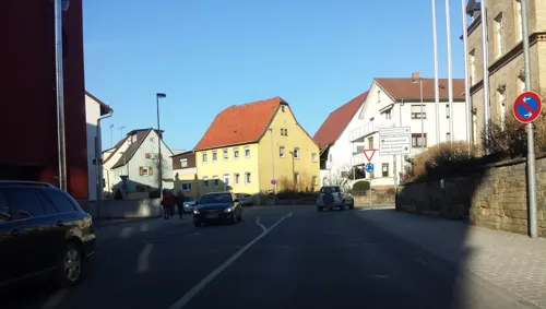
Citydom
Cinema and theater · 3.4 km
15 Wilhelmstraße, Sinsheim
Mo-Th 16:30-22:00; Fr-Sa 13:30-22:00; Su 10:30-22:00

Obsthof Krebs
Farm and orchard · 2.0 km
1b Hauptstraße, Sinsheim
Mo-Fr 09:00-13:00,14:00-18:00; Sa 09:00-13:00



Museums and landmarks27



Haus Ebert-Nickel
Monument and historic site · 3.1 km
60 Karlsruher Straße, Sinsheim
Stadtmuseum Sinsheim im Städtischen Kulturquartier
Museum · 3.4 km
Mo-Fr 10:00-17:00; Sa 10:00-13:00; Su 11:00-17:00



15 more on the map.
Parks, trails and playgrounds13



1 more on the map.
Restaurants and cafes62
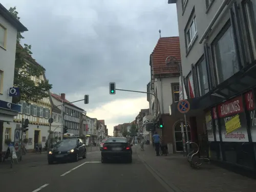
Excellent Confiserie
Cafe · Coffee Shop, Cake, Bistro, Dessert · 3.4 km
Frühstück, Kaffee, Eis, Bistro
99 D Hauptstraße, Sinsheim
Tu-Su 09:00-18:00; Mo off
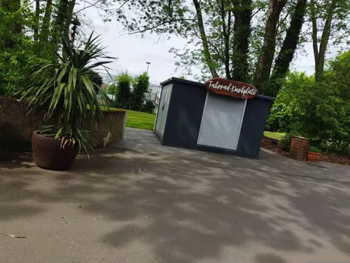
Mühlenbäcker GmbH
Cafe · Italian · 2.6 km
Donnerstags von 13 Uhr bis 15 Uhr Mittagstisch mit Spaghetti Aglio olio Peperoncino und Spaghetti in Tomatensauce
9/1 Mühlweg, Zuzenhausen
Tu-Fr 07:30-18:00, Sa 06:30-13:00
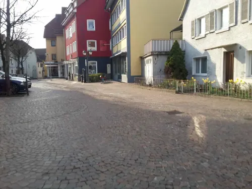
Ristorante Pizzeria Jakova
Restaurant · Italian · 3.3 km
36 Burggasse, Sinsheim
Mo off; Tu-Th 11:00-14:00,17:00-23:00; Fr 11:00-14:00,17:00-00:00;...
Bella Marmaris
Restaurant · Italian · 3.6 km
133 Hauptstraße, Sinsheim
Mo 17:00-23:00; Tu-Fr 11:00-14:30,17:00-24:00; Sa...

Gasthaus Linde
Restaurant · German · 3.4 km
26 Bahnhofstraße, Sinsheim
We-Sa 11:00-22:00; Su 11:00-21:00; Mo,Tu off
La Carrozza
Restaurant · Italian · 3.3 km
1 Burghäldeweg, Sinsheim
Tu-Fr 11:30-14:00,17:30-22:30; Sa 17:30-22:30; Su,PH...
La Trattoria
Restaurant · Italian
20 Bergstraße, Sinsheim
We-Sa 17:00-23:00; Su 12:00-15:00,16:00-22:00; Mo,Tu off
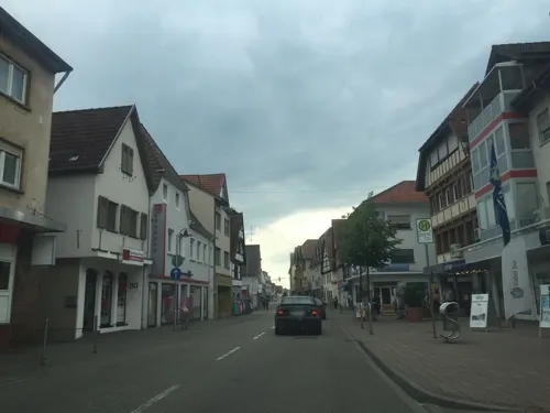
Mare Nostrum - Gasthaus zum Lamm
Restaurant · German, Mediterranean, Sushi · 3.3 km
93 Hauptstraße, Sinsheim
Tu-Su 11:00-22:00

Muße
Cafe · Breakfast, Brunch, Juice, Sandwich, Pancake · 3.4 km
26 Bahnhofstraße, Sinsheim
We,Th,Su 09:30-17:00; Fr,Sa 09:30-18:00; Mo,Tu off
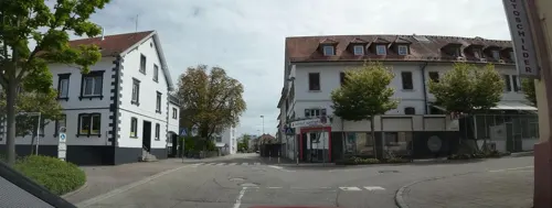


Neuer Bahnhof
Restaurant · German, Italian, Steak House, Burger · 3.4 km
25 Friedrichstraße, Sinsheim
Mo-Th 11:30-14:30,17:00-22:00; Fr-Sa 11:30-23:00; Su 11:30-22:00
50 more on the map.
History
The village, settled since prehistoric times, and first mentioned in 773 as Hovaheim in the Lorsch codex, was officially incorporated on July 1, 1972 into Sinsheim.
From the History section of Hoffenheim on Wikipedia, under CC BY-SA 4.0.
Where to stay4
Churches and places of worship16
St. Jakobus
Church · Roman Catholic · 3.1 km
21 Grabengasse, Sinsheim
St. Sebastian
Church · Roman Catholic · 3.0 km
13 Eschelbronner Straße, Zuzenhausen
Königreichssaal Jehovas Zeugen
Church · Jehovahs Witness · 3.6 km
3 Justus-von-Liebig-Straße, Sinsheim
Shopping12
Gas and EV charging5
Schools, colleges and libraries16
Healthcare4
Map of Hoffenheim
165 places. The map loads OpenStreetMap tiles when you open it.
Getting there and nearby towns
City-Airport Mannheim (MHG) is the nearest airport with scheduled flights listed in OpenStreetMap, 33 km away.
- Sinsheim 3 km southeast, about 3 min by car
- Meckesheim 6 km north, about 6 min by car
- Wiesloch 11 km west, about 11 min by car
- Östringen 11 km southwest, about 11 min by car
- Nußloch 12 km northwest, about 12 min by car
- Neckargemünd 13 km north, about 13 min by car
- Leimen 14 km northwest, about 14 min by car
- Walldorf 15 km west, about 15 min by car
- Sandhausen 15 km northwest, about 15 min by car
- Eppingen 16 km south, about 16 min by car
Drive times are estimates from straight-line distance, not routes.
Local news
Headlines from INDB.
Reviews, tips and questions
Loading what members have shared...
Sources and licences
- GeoNames (CC BY 4.0): population, coordinates, regions and time zone
- Mapillary (see each image): photos
- OpenStreetMap contributors (ODbL 1.0): places, airports, map data
- Wikidata (CC0 1.0): elevation, founding date, time zone, website
- Wikimedia Commons (see each image): photos
- Wikipedia (CC BY-SA 4.0): overview and history text
Photo credits
- Hoffenheim-waibst-str-web, p.schmelzle, CC BY-SA 2.5
- Hoffenheim-hoppstadion, p.schmelzle, CC BY-SA 2.5
- Битва при Зинцгайме, Кольцо Тьмы, CC BY-SA 3.0
- Hoffenheim-kathkirche, p.schmelzle, CC BY-SA 2.5
- Zuzenhausen-burg, peter schmelzle, CC BY-SA 3.0
- Daisbach-schlossruine2008, Schmelzle (peter schmelzle), CC BY-SA 3.0
- Hoffenheim-anwesen-beikirch, p.schmelzle, CC BY-SA 2.5
- Sinsheim ev Stadtkirche, Norbert Schnitzler, CC BY-SA 3.0
- Hoffenheim-evkirche-web, p.schmelzle, CC BY-SA 2.5
- Sinsheim Stift Sunnisheim 2, Norbert Schnitzler, CC BY-SA 3.0
- Sinsheim Duehren Katholische Kirche 20070516, Rudolf Stricker, CC BY-SA 3.0
- Duehren-ebertnickel1514, peter schmelzle, CC BY-SA 3.0
- Zuzenhausen-02, Immanuel Giel, CC BY-SA 3.0
- Duehren-snh-ev-kirche, peter schmelzle, CC BY-SA 3.0
- Sinsheim Jakobuskirche, Norbert Schnitzler, CC BY-SA 3.0
- Zuzenhausen-kirche2, peter schmelzle, CC BY-SA 3.0
- Zuzenhausen-schloss, peter schmelzle, CC BY-SA 3.0
- Sinsheim Stift Sunnisheim Sunnisheimgebäude, Norbert Schnitzler, CC BY-SA 3.0
- Schlacht bei sinsheim, Sebastian Beaulieu, Public domain
- Landappbw 271964 1820 St. Jakobus Sinsheim, Martin Hahn, CC0
- Street-level photo, wegavision, CC BY-SA 4.0
- Street-level photo, changchun1, CC BY-SA 4.0
- Street-level photo, ramap, CC BY-SA 4.0
- Street-level photo, changchun1, CC BY-SA 4.0
- Street-level photo, ramap, CC BY-SA 4.0
- Street-level photo, changchun1, CC BY-SA 4.0
- Street-level photo, changchun1, CC BY-SA 4.0
- Street-level photo, teddy73, CC BY-SA 4.0
- Street-level photo, chuck, CC BY-SA 4.0
- Street-level photo, teddy73, CC BY-SA 4.0
- Street-level photo, teddy73, CC BY-SA 4.0
- Street-level photo, c0rnsnake, CC BY-SA 4.0
- Street-level photo, chuck, CC BY-SA 4.0
- Street-level photo, teddy73, CC BY-SA 4.0
- Street-level photo, littlesmurf86, CC BY-SA 4.0
- Street-level photo, changchun1, CC BY-SA 4.0
- Street-level photo, wegavision, CC BY-SA 4.0
- Street-level photo, ramap, CC BY-SA 4.0
- Street-level photo, ramap, CC BY-SA 4.0
- Street-level photo, littlesmurf86, CC BY-SA 4.0
- Street-level photo, teddy73, CC BY-SA 4.0
- Street-level photo, teddy73, CC BY-SA 4.0
- Street-level photo, changchun1, CC BY-SA 4.0
- Street-level photo, c0rnsnake, CC BY-SA 4.0
- Street-level photo, changchun1, CC BY-SA 4.0


Page built November 8, 2026. Spotted a mistake? Tell us or suggest a place.