


Why visit Jockgrim
Townapedia lists 15 museums and landmarks, 6 parks and trails, 21 places to eat, 2 places to stay and 3 attractions in and around town.
Highlights include Honey from Beekeeper, Ziegeleimuseum, Jockgrimer Hinterstädtel and Jockgrimer Tongruben.
Weather in Jockgrim
Forecast from MET Norway (CC BY 4.0). Full forecast
About Jockgrim
Jockgrim station is the only station in the town of Jockgrim in the German state of Rhineland-Palatinate. Deutsche Bahn classifies it as a category 6 station and it has two platform tracks. It is located on the network of the Karlsruher Verkehrsverbund (Karlsruhe Transport Association, KVV) and belongs to fare zone 555. Since 2001, the station has also been part of the area where the fares of the Verkehrsverbund Rhein-Neckar (Rhine-Neckar Transport Association, VRN) are accepted at a transitional rate.
From the Wikipedia article Jockgrim station (this version), under CC BY-SA 4.0.
Photos of Jockgrim


Things to do3
Honey from Beekeeper
Farm and orchard
Pfälzer Honig aus der Region direkt vom Imker - mit einem schönen Selbstbedienungsschränkchen
1 Gartenstraße, Jockgrim
Mo-Su 08:00-20:00

Museums and landmarks15

Ziegeleimuseum
Museum
22a Untere Buchstraße, Jockgrim
We,Sa 14:00-17:00, Su 10:00-17:00


3 more on the map.
Parks, trails and playgrounds6


Restaurants and cafes21
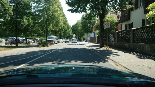
Zum Bahnhof
Restaurant · Regional, German
70 Bahnhofstraße, Jockgrim
Mo,Th-Sa 16:30+; Su,PH 10:30-14:30,16:30+
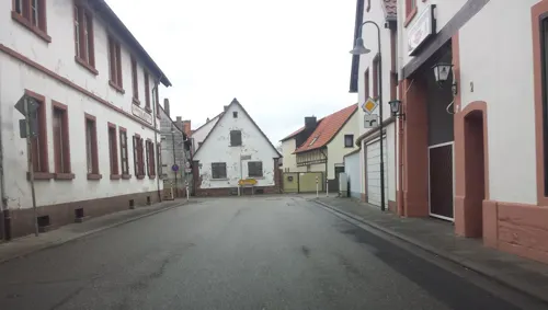
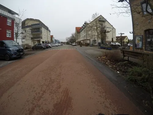
Ristorante Pizzeria Borsellino
Restaurant · Pizza
Mo-Sa 17:30-22:00; Tu off; Su,PH 11:30-14:00,17:00-22:00
Eiscafé Tropea
Cafe · Ice Cream
29e Untere Buchstraße, Jockgrim
11:00-23:00; Nov 01-Mar 31 Mo off
Gasthof Römerbad
Restaurant · Regional · 2.5 km
Römerbadstraße, Rheinzabern
Tu-Fr 16:00-23:00; Sa 11:00-23:00; PH,Su 10:00-23:00; Mo off
Pizzeria Piccolo Mondo
Restaurant · Italian
29d Untere Buchstraße, Jockgrim
Mo off; Tu-Fr 11:00-14:00,17:30-23:00; Sa 17:30-23:00; Su,PH...
Franck's Café
Bar and pub
70 Bahnhofstraße, Jockgrim
Tu-Th 19:00-01:00, Fr,Sa 19:00-03:00

9 more on the map.
History
Originally the administration of the Circle of the Rhine (Rheinkreis), which was part of Bavaria, planned that its first railway line would be first in the north–south direction from Rheinschanze via Lauterbourg to Strasbourg, which would compete with the Mannheim–Basel railway proposed by Baden. However, instead it was decided to build the Palatine Ludwig Railway (Pfälzische Ludwigsbahn, Ludwigshafen–Bexbach), which was opened in the period from 1847 to 1849. In the meantime, discussions took place as to whether a line from Neustadt via Landau to Wissembourg or a line along the Rhine via Speyer, Germersheim and Wörth was more urgent and desirable. Since the military preferred a route on the edge of the Palatinate Forest (Pfälzerwald), this was built in the form of the Maximilian Railway between Neustadt and Wissembourg.
The branch line to Speyer, which was opened in 1847, was extended to Germersheim in 1864. A local committee from Rülzheim supported an extension of the line now ending in Germersheim to Wörth, which soon resulted in a first draft route plan. The line to Wörth, including Jockgrim station, was opened on 25 July 1876.
Read more of the history
The station became part of the area of the Reichsbahndirektion (Reichsbahn railway division) of Ludwigshafen after the founding of the Deutsche Reichsbahn in 1922. During the dissolution of the railway division of Ludwigshafen, responsibility for it was transferred to the railway division of Mainz on 1 May 1937.
Deutsche Bundesbahn (DB), which was responsible for railway operations from 1949, assigned the station to the railway division of Mainz, which was responsible for all railway lines within the newly created state of Rhineland-Palatinate. In the course of the staged dissolution of the railway division of Mainz from 1 August 1971, its counterpart in Karlsruhe took responsibility for the station. The station had been downgraded to a halt in the 1990s. The station became part of the Karlsruhe Stadtbahn in December 2010.
From the History section of Jockgrim station on Wikipedia, under CC BY-SA 4.0.
Where to stay2
Churches and places of worship4
Wallfahrtskirche "Zu unserer lieben Frau" ("Schweinheimer Kirchl")
Church · Catholic · 1.6 km
Shopping6
Gas and EV charging4
Schools, colleges and libraries3
Healthcare1
Map of Jockgrim
65 places. The map loads OpenStreetMap tiles when you open it.
Getting there and nearby towns
Airport Karlsruhe/Baden-Baden (FKB) is the nearest airport with scheduled flights listed in OpenStreetMap, 38 km away.
- Wörth am Rhein 5 km south, about 5 min by car
- Kandel 6 km west, about 6 min by car
- Rülzheim 7 km north, about 7 min by car
- Eggenstein-Leopoldshafen 9 km east, about 9 min by car
- Linkenheim-Hochstetten 11 km northeast, about 11 min by car
- Karlsruhe 13 km southeast, about 13 min by car
- Offenbach an der Queich 13 km northwest, about 13 min by car
- Rheinstetten 14 km south, about 14 min by car
- Germersheim 15 km northeast, about 15 min by car
- Landau in der Pfalz 16 km northwest, about 16 min by car
Drive times are estimates from straight-line distance, not routes.
Towns near Jockgrim


Local news
Headlines from INDB.
Reviews, tips and questions
Loading what members have shared...
Sources and licences
- GeoNames (CC BY 4.0): population, coordinates, regions and time zone
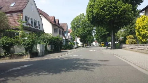
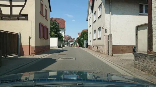
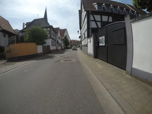
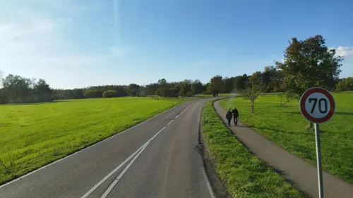
- Mapillary (see each image): photos
- OpenStreetMap contributors (ODbL 1.0): places, airports, map data
- Wikidata (CC0 1.0): elevation, founding date, time zone, website
- Wikimedia Commons (see each image): photos
- Wikipedia (CC BY-SA 4.0): overview and history text
Photo credits
- Jockgrim1, Antifaschist 666, CC BY-SA 3.0
- Jockgrim, Ziegeleimuseum, Gelände 20120724, P170, CC BY-SA 4.0
- Das Ziegeleimuseum in Jockgrim - 2007-CC-BY-SA SYNTAXYS Achim Lammerts, Achim Lammerts (Syntaxys), CC BY-SA 3.0
- Jockgrim, Ziegeleimuseum und Verwaltungsgebäude 20120724, P170, CC BY-SA 4.0
- Jockgrim, Bahnhaltepunkt Jockgrim Bahnhof 20120724, P170, CC BY-SA 4.0
- Jockgrim, Siemensstraße, Blick zur Fröschel-Apotheke 20120724, P170, CC BY-SA 4.0
- Jockgrim, Am Bahnhof 20120724, P170, CC BY-SA 4.0
- Jockgrim, Ziegeleimuseum 20120724, P170, CC BY-SA 4.0
- Wegekreuz Jockgrim 1860, Pfalz39, CC BY 4.0
- Protestantische Kirche Jockgrim - panoramio, Immanuel Giel, CC BY 3.0
- 2025-07-10 G11-0119 Achim-Lammerts Jockgrim-Kapelle-Parkring, Achim Lammerts (Syntaxys), CC BY-SA 4.0
- 2025-07-10 GX6-175833 Achim-Lammerts Jockgrim-Kapelle-Parkring, Achim Lammerts (Syntaxys), CC BY-SA 4.0
- 2025-07-10 G11-0119 Achim-Lammerts Jockgrim-Kapelle-Parkring (cropped) - Großer sitzender Mann von Franz Bernhard, User:AusleseBeeren, CC BY-SA 4.0
- Protestantische Kirche Jockgrim - panoramio (1), Immanuel Giel, CC BY 3.0
- Jockgrim, Bahnhofstraße 20120724, P170, CC BY-SA 4.0
- 2025-08-23 D500-0455 Achim-Lammerts Jockgrim Villa-Verbandsgemeinde, Achim Lammerts (Syntaxys), CC BY-SA 4.0
- Jockgrim-500-Parkring-Nr13-2023-gje, Gerd Eichmann, CC BY-SA 4.0
- Jockgrim-502-Parkring-Nr13-2023-gje, Gerd Eichmann, CC BY-SA 4.0
- Jockgrim-504-Parkring-Nr13-2023-gje, Gerd Eichmann, CC BY-SA 4.0
- Katholische Kirche Jockgrim St-Georg, Immanuel Giel, CC BY 3.0
- Baum an der Katholischen Kirche Jockgrim St-Georg, Immanuel Giel, CC BY 3.0
- 2025-08-23 D500-0445 Achim-Lammerts Jockgrim St-Georg-Interior, Achim Lammerts (Syntaxys), CC BY-SA 4.0
- 2025-08-23 D500-0446 Achim-Lammerts Jockgrim St-Georg-Interior, Achim Lammerts (Syntaxys), CC BY-SA 4.0
- Jockgrim-105-St. Dionysius-gje, Gerd Eichmann, CC BY-SA 4.0
- Schweinheimer Kirchel, Distel2610, CC BY-SA 4.0
- 2025-05-29 D300-7268 Achim-Lammerts Jockgrimer-Tongruben, Achim Lammerts (Syntaxys) / Wikimedia Commons, CC BY 4.0
- 2025-05-29 D300-7257 Achim-Lammerts Jockgrimer-Tongruben, Achim Lammerts (Syntaxys) / Wikimedia Commons, CC BY 4.0
- Skulptur mit Tisch - panoramio, Immanuel Giel, CC BY 3.0
- Skulptur mit Loch - panoramio, Immanuel Giel, CC BY 3.0
- Passt - panoramio, Immanuel Giel, CC BY 3.0
- Skulptur mit Dach - panoramio, Immanuel Giel, CC BY 3.0
- Storchenturm - panoramio (4), Immanuel Giel, CC BY 3.0
- Schaukel - panoramio (1), Immanuel Giel, CC BY 3.0
- Storchenturm - panoramio (5), Immanuel Giel, CC BY 3.0
- Ich weiß nicht, was soll es bedeuten. - panoramio, Immanuel Giel, CC BY 3.0
- Skulptur - panoramio (5), Immanuel Giel, CC BY 3.0
- Bahnhofsgebäude - panoramio, Immanuel Giel, CC BY 3.0
- St. Florian, beschütz mein Haus, ... - panoramio, Immanuel Giel, CC BY 3.0
- Die wollten mich partout nicht reinlassen. Warum wohl - panoramio, Immanuel Giel, CC BY 3.0
- Rostiges Metall = moderne Kunst - panoramio, Immanuel Giel, CC BY 3.0
- Kugelhaus Jockgrim, Kleemes, CC BY-SA 4.0
- Jockgrim, Ziegeleimuseum und Verwaltungsgebäude 20120724 (crop), P170, CC BY-SA 4.0
- Street-level photo, wegavision, CC BY-SA 4.0
- Street-level photo, wegavision, CC BY-SA 4.0
- Street-level photo, mfa, CC BY-SA 4.0
- Street-level photo, wegavision, CC BY-SA 4.0
- Street-level photo, c0rnsnake, CC BY-SA 4.0
- Street-level photo, wegavision, CC BY-SA 4.0
- Street-level photo, wegavision, CC BY-SA 4.0
- Street-level photo, wegavision, CC BY-SA 4.0
- Street-level photo, c0rnsnake, CC BY-SA 4.0
- Street-level photo, c0rnsnake, CC BY-SA 4.0
- Street-level photo, wegavision, CC BY-SA 4.0
- Street-level photo, mfa, CC BY-SA 4.0
- Street-level photo, nakaner, CC BY-SA 4.0
- Street-level photo, mfa, CC BY-SA 4.0
- Street-level photo, mfa, CC BY-SA 4.0
- Street-level photo, wegavision, CC BY-SA 4.0
- Street-level photo, mfa, CC BY-SA 4.0
- Street-level photo, c0rnsnake, CC BY-SA 4.0
- Street-level photo, wegavision, CC BY-SA 4.0
- Street-level photo, wegavision, CC BY-SA 4.0
- Street-level photo, wegavision, CC BY-SA 4.0
- Street-level photo, wegavision, CC BY-SA 4.0
- Street-level photo, c0rnsnake, CC BY-SA 4.0
- Street-level photo, wegavision, CC BY-SA 4.0
- Street-level photo, wegavision, CC BY-SA 4.0
- Street-level photo, wegavision, CC BY-SA 4.0
- Street-level photo, wegavision, CC BY-SA 4.0
- Street-level photo, mfa, CC BY-SA 4.0
- Street-level photo, bct, CC BY-SA 4.0
- Street-level photo, c0rnsnake, CC BY-SA 4.0


Page built November 9, 2026. Spotted a mistake? Tell us or suggest a place.