


Why visit Kandel
Townapedia lists 7 museums and landmarks, 10 parks and trails, 48 places to eat, 4 places to stay and 3 attractions in and around town.
Highlights include Schowalter's Spargel, Herxheim, Jockgrimer Tongruben and Badepark Wörth.
Weather in Kandel
Forecast from MET Norway (CC BY 4.0). Full forecast
About Kandel
Kandel (German pronunciation: [ˈkandl̩] ) is a town in the Germersheim district of Rhineland-Palatinate, Germany, near the border with France and approximately 18 km north-west of Karlsruhe, and 15 km south-east of Landau.
From the Wikipedia article Kandel (this version), under CC BY-SA 4.0.
Photos of Kandel


Things to do3


Museums and landmarks7



Zum Gedenken an Walter Werling, Revierförster von 1981-2003
Monument and historic site · 4.3 km
Parks, trails and playgrounds10


Badepark Wörth
Sports field and stadium · 4.3 km
May-Jun 15,Sep: Mo-Th,Sa,Su,PH 10:00-19:00, Fr 07:00-19:00; Jun...


Restaurants and cafes48
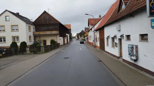
Da Angelo
Restaurant · Italian · 4.6 km
1 Lindenstraße, Hatzenbühl
Mo off; Tu-Th 17:00-22:00; Fr-Sa 17:00-22:00; Su,PH 11:30-14:00,17:00-23:00
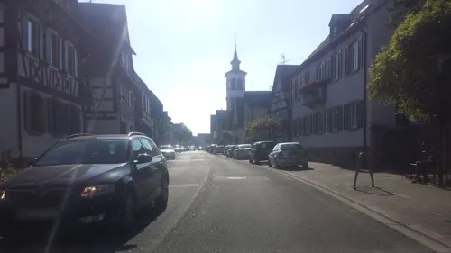
Hotel Krone
Restaurant · German · 4.6 km
62-64 Hauptstraße, Herxheim
Mo-Fr 17:30-20:30; Sa 17:00-20:30; Su 17:00-20:00
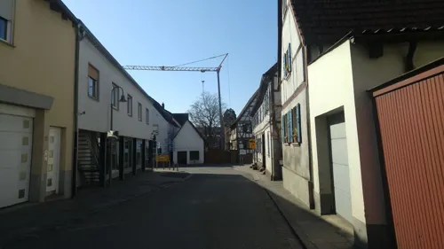
Namaskar
Restaurant · Indian
1 Turmstraße, Kandel
Mo off; Tu-Fr,Su,PH 11:30-14:30,17:30-24:00; Sa 17:00-23:00, Dec...
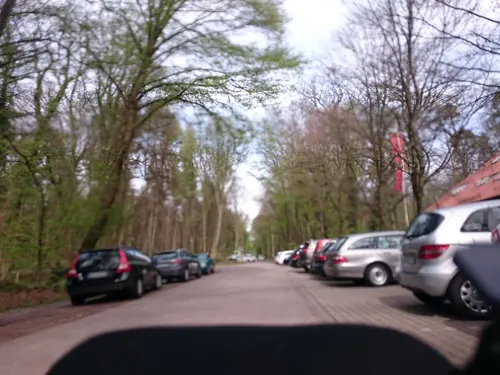
Naturfreundehaus Bienwald
Restaurant · Palatine · 2.6 km
Oberkandeler Teich, Kandel
We-Sa 11:00-19:00; Su 09:00-19:00 off
Pizzeria Da Salvatore
Restaurant · Italian
3 Im Stadtkern, Kandel
Tu-Fr 11:00-14:00,17:30-22:30; Sa 17:30-23:30; Su...
Café Zapf
Cafe · Cake, Local, Coffee Shop, Breakfast, Ice Cream, German · 1.6 km
1 Am Holderbühl, Kandel
Tu-Su 09:00-18:00
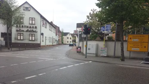
Cala Luna - An der Alten Schmiede
Restaurant · Italian
Th-Sa 17:30-21:30; Su,PH 11:30-14:00, 17:30-21:30; Mo,Tu,We off
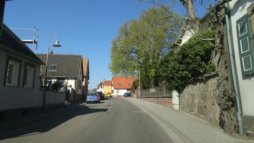
Koch's Restaurant
Restaurant
57 Marktstraße, Kandel
Tu-Fr 12:00-13:45,18:00-21:45,Sa 18:00-21:45,Su 11:30-13:45

36 more on the map.
Where to stay4
Churches and places of worship8
St. Martinskirche
Church · Protestant · 3.3 km
33 Hauptstraße, Erlenbach bei Kandel
Shopping12
Gas and EV charging5
ebike-Ladestation Schlüssl am Kiosk, am Gleis 3
EV charging
2 Georg-Todt-Strasse, Kandel
Schools, colleges and libraries10
Healthcare5
Map of Kandel
112 places. The map loads OpenStreetMap tiles when you open it.
Getting there and nearby towns
Airport Karlsruhe/Baden-Baden (FKB) is the nearest airport with scheduled flights listed in OpenStreetMap, 35 km away.
- Wörth am Rhein 6 km southeast, about 6 min by car
- Rülzheim 10 km northeast, about 10 min by car
- Offenbach an der Queich 13 km north, about 13 min by car
- Landau in der Pfalz 14 km northwest, about 14 min by car
- Eggenstein-Leopoldshafen 15 km east, about 15 min by car
- Rheinstetten 15 km southeast, about 15 min by car
- Linkenheim-Hochstetten 17 km east, about 17 min by car
- Karlsruhe 17 km southeast, about 17 min by car
- Durmersheim 17 km south, about 17 min by car
- Germersheim 19 km northeast, about 19 min by car
Drive times are estimates from straight-line distance, not routes.
Towns near Kandel


Local news
Headlines from INDB.
Reviews, tips and questions
Loading what members have shared...
Sources and licences
- GeoNames (CC BY 4.0): population, coordinates, regions and time zone
- Mapillary (see each image): photos
- OpenStreetMap contributors (ODbL 1.0): places, airports, map data
- Wikidata (CC0 1.0): elevation, founding date, time zone, website, landmarks and historic places
- Wikimedia Commons (see each image): photos
- Wikipedia (CC BY-SA 4.0): overview and history text
Photo credits
- Kandel Innenstadt, -- Xocolatl ( talk ) 22:23, 24 May 2009 (UTC), Public domain
- 2025-07-13 D300-7600-Pano Achim-Lammerts Kandel-Piuskirche, Achim Lammerts (Syntaxys), CC BY-SA 4.0
- KANDEL (Pfalz) - panoramio (2), fotogoocom, CC BY 3.0
- 2025-07-20 GX6-155939 Achim-Lammerts Kandel-Marktstr53-END-Rosskastanie, Achim Lammerts (Syntaxys), CC BY-SA 4.0
- 2025-07-20 GX6-155625 Achim-Lammerts Kandel-Marktstr53-END-Rosskastanie, Achim Lammerts (Syntaxys), CC BY-SA 4.0
- KANDEL - Zentrum - panoramio (3), fotogoocom, CC BY 3.0
- KANDEL - Zentrum - panoramio (5), fotogoocom, CC BY 3.0
- 2025-07-20 GX6-160619 Achim-Lammerts Kandel-Stadthalle, Achim Lammerts (Syntaxys), CC BY-SA 4.0
- KANDEL - Zentrum - panoramio (2), fotogoocom, CC BY 3.0
- KANDEL - Hauptstraße - panoramio (5), fotogoocom, CC BY 3.0
- KANDEL - Zentrum - panoramio (6), fotogoocom, CC BY 3.0
- KANDEL - Zentrum - panoramio (7), fotogoocom, CC BY 3.0
- KANDEL - Zentrum - panoramio (4), fotogoocom, CC BY 3.0
- KANDEL - Marktplatz - panoramio, fotogoocom, CC BY 3.0
- 2025-07-20 GX6-161143 Achim-Lammerts Kandel-Altstadt, Achim Lammerts (Syntaxys), CC BY-SA 4.0
- KANDEL Rathaus - panoramio, fotogoocom, CC BY 3.0
- RATHAUS KANDEL (Rheinland-Pfalz) - panoramio, fotogoocom, CC BY 3.0
- KANDEL in der Südpfalz - panoramio (1), fotogoocom, CC BY 3.0
- KANDEL - Marktplatz - panoramio (1), fotogoocom, CC BY 3.0
- 76870 Kandel, Germany - panoramio, Besenbinder, CC BY-SA 3.0
- KANDEL - Osteria - panoramio, fotogoocom, CC BY 3.0
- Toepfermarkt kandel, Kmtextor, CC BY-SA 4.0
- RATHAUS KANDEL - Kreis Germersheim - panoramio, fotogoocom, CC BY 3.0
- KANDEL - Am Plätzel - panoramio, fotogoocom, CC BY 3.0
- KANDEL - St. Georg Kirche - panoramio, fotogoocom, CC BY 3.0
- KANDEL - Am Plätzle - panoramio, fotogoocom, CC BY 3.0
- KANDEL (Rheinland-Pfalz) - panoramio (1), fotogoocom, CC BY 3.0
- KANDEL - Hauptstraße - panoramio (1), fotogoocom, CC BY 3.0
- KANDEL - St. Georgs Kirche - panoramio, fotogoocom, CC BY 3.0
- KANDEL - Am Plätzel - panoramio (1), fotogoocom, CC BY 3.0
- 2025-08-22 D500-0429 Achim-Lammerts Kandel-St-Georg-Interior, Achim Lammerts (Syntaxys), CC BY-SA 4.0
- 2025-08-22 D500-0424 Achim-Lammerts Kandel-St-Georg-Interior, Achim Lammerts (Syntaxys), CC BY-SA 4.0
- 2025-08-22 D500-0427 Achim-Lammerts Kandel-St-Georg-Interior, Achim Lammerts (Syntaxys), CC BY-SA 4.0
- 2025-08-22 D500-0420 Achim-Lammerts Kandel-St-Georg-Turm, Achim Lammerts (Syntaxys), CC BY-SA 4.0
- 2025-08-22 D500-0422 Achim-Lammerts Kandel-St-Georg-Interior, Achim Lammerts (Syntaxys), CC BY-SA 4.0
- 2025-08-22 D500-0425 Achim-Lammerts Kandel-St-Georg-Interior, Achim Lammerts (Syntaxys), CC BY-SA 4.0
- KANDEL - Am Plätzel - panoramio (3), fotogoocom, CC BY 3.0
- KANDEL - Am Plätzel - panoramio (2), fotogoocom, CC BY 3.0
- KANDEL - panoramio (8), fotogoocom, CC BY 3.0
- KANDEL - panoramio, fotogoocom, CC BY 3.0
- Schaedel Herxheim 02, Kuebi = Armin Kübelbeck, CC BY-SA 3.0
- Kandel-St Georg-08-2017-gje, Gerd Eichmann, CC BY 4.0
- Hatzenbuehl-St Wendelin-100-gje, Gerd Eichmann, CC BY-SA 4.0
- Minfeld-Evangelische Pfarrkirche-10-gje, Gerd Eichmann, CC BY-SA 4.0
- Minfeld-St Laurentius-08-gje, Gerd Eichmann, CC BY-SA 4.0
- Erlenbach Kirche 1, Rudolf Wild, CC BY-SA 4.0
- 2025-05-29 D300-7268 Achim-Lammerts Jockgrimer-Tongruben, Achim Lammerts (Syntaxys) / Wikimedia Commons, CC BY 4.0
- KANDEL Hofladen ZAPF - panoramio, fotogoocom, CC BY 3.0
- Street-level photo, anmaca, CC BY-SA 4.0
- Street-level photo, anmaca, CC BY-SA 4.0
- Street-level photo, radius_proxy_de, CC BY-SA 4.0
- Street-level photo, anmaca, CC BY-SA 4.0
- Street-level photo, wegavision, CC BY-SA 4.0
- Street-level photo, bct, CC BY-SA 4.0
- Street-level photo, radius_proxy_de, CC BY-SA 4.0
- Street-level photo, nakaner, CC BY-SA 4.0
- Street-level photo, anmaca, CC BY-SA 4.0
- Street-level photo, bittelwangen, CC BY-SA 4.0
- Street-level photo, wegavision, CC BY-SA 4.0
- Street-level photo, nakaner, CC BY-SA 4.0
- Street-level photo, NoemiNagy, CC BY-SA 4.0
- Street-level photo, nakaner, CC BY-SA 4.0
- Street-level photo, radius_proxy_de, CC BY-SA 4.0
- Street-level photo, radius_proxy_de, CC BY-SA 4.0
- Street-level photo, bct, CC BY-SA 4.0
- Street-level photo, anmaca, CC BY-SA 4.0
- Street-level photo, wegavision, CC BY-SA 4.0
- Street-level photo, sfudeus, CC BY-SA 4.0
- Street-level photo, anmaca, CC BY-SA 4.0
- Street-level photo, mfa, CC BY-SA 4.0
- Street-level photo, wegavision, CC BY-SA 4.0
- Street-level photo, sfudeus, CC BY-SA 4.0
- Street-level photo, sfudeus, CC BY-SA 4.0
- Street-level photo, mfa, CC BY-SA 4.0
- Street-level photo, radius_proxy_de, CC BY-SA 4.0
- Street-level photo, mfa, CC BY-SA 4.0
- Street-level photo, radius_proxy_de, CC BY-SA 4.0
- Street-level photo, nakaner, CC BY-SA 4.0
- Street-level photo, anmaca, CC BY-SA 4.0
- Street-level photo, anmaca, CC BY-SA 4.0


Page built November 9, 2026. Spotted a mistake? Tell us or suggest a place.