


Wörth am Rhein, Germany
Wörth am Rhein is a town of 17,272 people in Rheinland-Pfalz, Germany.
Why visit Wörth am Rhein
Townapedia lists 86 museums and landmarks, 50 parks and trails, 225 places to eat, 17 places to stay and 19 attractions in and around town.
Highlights include Hofgut Maxau - Hofladen&Cafe, Bioland-Hofladen Litzenberger, Terra Sigillata Museum and Galerie Kunstraum.
Weather in Wörth am Rhein
Forecast from MET Norway (CC BY 4.0). Full forecast
About Wörth am Rhein
Wörth am Rhein (German pronunciation: [ˈvœʁt ʔam ˈʁaɪn], lit. 'Wörth on the Rhine') is a town in the southernmost part of the district of Germersheim, in Rhineland-Palatinate, Germany. It is on the left bank of the Rhine approximately 10 km west of the city centre of Karlsruhe and is just north of the German-French border. Daimler AG's largest truck production plant (2.8 km2) has been located in the town since 1960.
From the Wikipedia article Wörth am Rhein (this version), under CC BY-SA 4.0.
Things to do19

Hofgut Maxau - Hofladen&Cafe
Farm and orchard · 3.9 km
Hofladen des Hofgut Maxau. Es gibt auch einen Verkaufsautomaten. Betreibt auch ein Cafe.
24 Maxau am Rhein, Karlsruhe
Fr 14:00-18:00; Sa,Su 11:00-18:00
Bioland-Hofladen Litzenberger
Farm and orchard · 5.6 km
Grain, flour, nudles, potatos, apple juice
17 Jakob-Dörr-Straße, Karlsruhe
Honey from Beekeeper
Farm and orchard · 4.9 km
Pfälzer Honig aus der Region direkt vom Imker - mit einem schönen Selbstbedienungsschränkchen
1 Gartenstraße, Jockgrim
Mo-Su 08:00-20:00

Karlsruhe Pyramid
Monument and historic site · 11.4 km
Tomb in Germany


7 more on the map.
Museums and landmarks86

Terra Sigillata Museum
Museum · 8.0 km
35 Hauptstraße, Rheinzabern
We-Fr 11:00-14:00; Sa 11:00-15:00; PH,Su 11:00-17:00

Naturschutzzentrum Rappenwört
Museum · 6.7 km
47 Hermann-Schneider-Allee, Karlsruhe
Apr-Sep Tu-Fr 12:00-17:00; Su, PH 11:00-17:00; Jan-Mar, Oct-Dec...

Ziegeleimuseum
Museum · 5.2 km
22a Untere Buchstraße, Jockgrim
We,Sa 14:00-17:00, Su 10:00-17:00


Staatliche Kunsthalle Karlsruhe
Museum · 11.0 km
Museum in Karlsruhe, Germany

74 more on the map.
Parks, trails and playgrounds50

Sonnenbad
Sports field and stadium · 7.5 km
3 Am Sonnenbad, Karlsruhe
We,Fr-Mo 09:00-20:00; Tu,Th 09:00-22:00





38 more on the map.
Restaurants and cafes225


Badische Backstub'
Bakery · 7.7 km
52 Turnerstraße
Mo-Fr 06:00-13:00; Sa 06:00-13:00; PH,Su 07:00-13:00
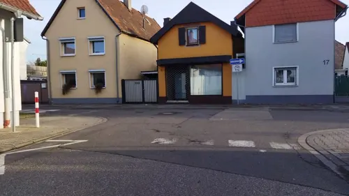
Bayerischer Hof
Restaurant · Greek, German
30 Ottstraße, Wörth am Rhein
Mo off; Sa 17:00-22:00; Su 11:00-15:00,17:00-22:00; Tu-Fr...
Bei Giovanni
Restaurant · German, International · 7.9 km
Restaurant der FC Germania Neureut 07
Tu-Th 11:30-14:30,17:00-23:00; Sa-Su 11:00-23:00; Mo off
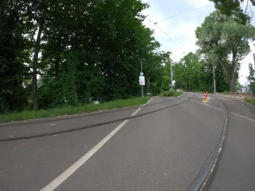
Casa Rustika
Restaurant · Italian · 6.7 km
3 Herman-Schneider-Allee, Karlsruhe
Mo,We-Fr 11:30-14:30,18:00-21:30; Sa 17:00-21:30; PH,Su 11:30-21:00
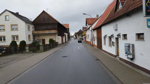
Da Angelo
Restaurant · Italian · 7.0 km
1 Lindenstraße, Hatzenbühl
Mo off; Tu-Th 17:00-22:00; Fr-Sa 17:00-22:00; Su,PH 11:30-14:00,17:00-23:00
Das Schiff - EnPlo
Restaurant · German, Greek · 3.8 km
16 Maxau am Rhein, Karlsruhe
Mo,We-Fr 11:30-22:00; Sa,Su,PH 11:00-22:00; Tu off
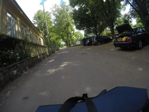
Dubbegadde
Restaurant · Regional · 6.2 km
49d Hermann-Schneider-Allee, Karlsruhe
Mar-Oct: Tu-Su 11:30-20:30; Nov-Feb: We,Fr,Sa 11:30-20:30; Su 11:30-20:00

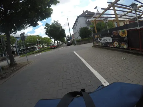


Fashion Asia Grill
Restaurant · Asian · 7.6 km
125 Daxlander Straße, Karlsruhe
Mo 11:30-15:00,17:30-22:00; Tu off; We-Su 11:30-15:00,17:30-22:00
Gasthaus Karl
Restaurant · German, Greek · 8.1 km
23 Hertzstraße, Karlsruhe
Su,Mo 12:00-21:00; Tu-Sa 12:00-22:30
213 more on the map.
Where to stay17
Churches and places of worship39
Knielinger Kirche
Church · Protestant · 5.6 km
1a Saarlandstraße, Karlsruhe
Protestantische Kirche
Church · Protestant · 2.8 km
17 Cany-Barville-Straße, Wörth am Rhein
Shopping54
Gas and EV charging27
Schools, colleges and libraries43
Healthcare17
Map of Wörth am Rhein
250 places. The map loads OpenStreetMap tiles when you open it.
Getting there and nearby towns
Airport Karlsruhe/Baden-Baden (FKB) is the nearest airport with scheduled flights listed in OpenStreetMap, 33 km away.
- Rheinstetten 10 km south, about 10 min by car
- Karlsruhe 11 km southeast, about 11 min by car
- Eggenstein-Leopoldshafen 11 km northeast, about 11 min by car
- Durmersheim 13 km south, about 13 min by car
- Linkenheim-Hochstetten 14 km northeast, about 14 min by car
- Ettlingen 16 km southeast, about 16 min by car
- Malsch 19 km south, about 19 min by car
- Rastatt 21 km south, about 21 min by car
- Graben-Neudorf 21 km northeast, about 21 min by car
- Bruchsal 26 km east, about 26 min by car
Drive times are estimates from straight-line distance, not routes.
Local news
Headlines from INDB.
Reviews, tips and questions
Loading what members have shared...
Sources and licences
- GeoNames (CC BY 4.0): population, coordinates, regions and time zone
- Mapillary (see each image): photos
- OpenStreetMap contributors (ODbL 1.0): places, airports, map data
- Wikidata (CC0 1.0): elevation, founding date, time zone, website, landmarks and historic places
- Wikimedia Commons (see each image): photos
- Wikipedia (CC BY-SA 4.0): overview and history text
Photo credits
- Wörth Rathaus, HeinzWörth, Public domain
- Wörth am Rhein, Germany May 21, 2024 06-33-26 PM, HerrLevin, CC BY-SA 4.0
- Wörth am Rhein, Germany May 21, 2024 06-33-08 PM, HerrLevin, CC BY-SA 4.0
- Wörth am Rhein, Germany May 21, 2024 06-33-12 PM, HerrLevin, CC BY-SA 4.0
- Wörth am Rhein, Germany May 21, 2024 05-54-08 PM, HerrLevin, CC BY-SA 4.0
- Wörth am Rhein, Germany May 21, 2024 05-54-41 PM, HerrLevin, CC BY-SA 4.0
- Wörth am Rhein, Germany May 21, 2024 06-01-44 PM, HerrLevin, CC BY-SA 4.0
- Wörth am Rhein, Germany May 21, 2024 05-41-40 PM, HerrLevin, CC BY-SA 4.0
- Wörth am Rhein, Germany May 21, 2024 05-40-12 PM, HerrLevin, CC0
- Wörth am Rhein, Germany May 21, 2024 05-40-26 PM, HerrLevin, CC BY-SA 4.0
- Wörth am Rhein, Germany May 21, 2024 05-46-01 PM, HerrLevin, CC BY-SA 4.0
- Wörth am Rhein, Germany May 21, 2024 05-40-02 PM, HerrLevin, CC BY-SA 4.0
- Wörth am Rhein, Germany May 21, 2024 06-08-00 PM, HerrLevin, CC BY-SA 4.0
- Wörth am Rhein, Germany May 21, 2024 06-08-25 PM, HerrLevin, CC BY-SA 4.0
- Wörth am Rhein, Germany May 21, 2024 06-07-58 PM, HerrLevin, CC BY-SA 4.0
- Marktplatz Karlsruhe - Pyramide - Rathaus 20220705 101753, Sitacuisses, CC BY-SA 3.0 de
- 20130605Schloss Karlsruhe05, AnRo0002, CC0
- Schaedel Herxheim 02, Kuebi = Armin Kübelbeck, CC BY-SA 3.0
- KarlsruherKunsthalle, Armerdietrich, Public domain
- Zoo de Karlsruhe - Entrée, Root66, CC BY-SA 3.0
- Staatliche Akademie der Bildenden Kunste I, Martin Dürrschnabel, Public domain
- Portal-HKA-verhuellt2021, HsKAgoem, CC BY-SA 4.0
- Colonelkarlsruhe, Cindybeau, CC BY-SA 3.0
- Terra Sigillata Museum, Haselburg-müller, CC BY-SA 3.0
- Altrhein Kleiner Bodensee NSG BW KA d, Günter Josef Radig, CC BY-SA 3.0
- NSG Altrhein Maxau (2014) 2, Andreas Keller, CC BY-SA 3.0
- Fritschlach NSG BW KA a, Günter Josef Radig, CC BY-SA 3.0
- 2026-04-12 Z5-4858 Achim-Lammerts Karlsruhe-Rheinhafen-Dampfkraftwerk-Windmühlenberg, Achim Lammerts (Syntaxys), CC BY-SA 4.0
- Altrhein Neuburgweier NSG BW KA Bellenkopf, Günter Josef Radig, CC BY-SA 3.0
- Saisonstart im Rheinhafenbad - panoramio, Baden de, CC BY 3.0
- Evanglische Kirche Neureut mit Turm, Monika Tröppner, CC BY 4.0
- NSG Burgau (2014), Knielinger See 4, Andreas Keller, CC BY-SA 3.0
- Jockgrim-105-St. Dionysius-gje, Gerd Eichmann, CC BY-SA 4.0
- 2025-07-13 D300-7600-Pano Achim-Lammerts Kandel-Piuskirche, Achim Lammerts (Syntaxys), CC BY-SA 4.0
- Thomaskirche (Karlsruhe), Beate Gottwald, CC0
- Maximiliansau, evangelische Kirche 20221227, P170, CC BY-SA 4.0
- Woerth St Theodard, HeinzWörth, CC BY-SA 3.0
- Friedenskirche woerth, HeinzWörth, CC BY-SA 3.0
- Stolperstein für Friedrich Weick (Karlsruhe), Francisco Peralta Torrejón, CC BY-SA 4.0
- Stolperstein für Hermann Müller-Würtz (Karlsruhe) Römerstraße 2, Stolpersteineuploader, CC0
- Stolperstein für Simon Alexander Grünhut (Karlsruhe), Stolpersteineuploader, CC0
- NSG Goldgrund, Goldkehle, Hozro, CC0
- 2025-05-29 D300-7268 Achim-Lammerts Jockgrimer-Tongruben, Achim Lammerts (Syntaxys) / Wikimedia Commons, CC BY 4.0
- DYS Function Nutria Neuburger Altrhein, DYS Function, CC BY-SA 4.0
- NSG Neuburger Altrhein, westlicher Teil, Tankgraben, Hozro, CC0
- Evangelische Kirche in Knielingen - panoramio, qwesy qwesy, CC BY 3.0
- Jockgrim, Ziegeleimuseum und Verwaltungsgebäude 20120724 (crop), P170, CC BY-SA 4.0
- Street-level photo, mfa, CC BY-SA 4.0
- Street-level photo, changchun1, CC BY-SA 4.0
- Street-level photo, mfk, CC BY-SA 4.0
- Street-level photo, mfk, CC BY-SA 4.0
- Street-level photo, nakaner, CC BY-SA 4.0
- Street-level photo, pablopita, CC BY-SA 4.0
- Street-level photo, morwas, CC BY-SA 4.0
- Street-level photo, wegavision, CC BY-SA 4.0
- Street-level photo, anmaca, CC BY-SA 4.0
- Street-level photo, mfa, CC BY-SA 4.0
- Street-level photo, anmaca, CC BY-SA 4.0
- Street-level photo, radius_proxy_de, CC BY-SA 4.0
- Street-level photo, mfa, CC BY-SA 4.0
- Street-level photo, anmaca, CC BY-SA 4.0
- Street-level photo, morwas, CC BY-SA 4.0
- Street-level photo, masterofnoroad, CC BY-SA 4.0
- Street-level photo, nakaner, CC BY-SA 4.0
- Street-level photo, bct, CC BY-SA 4.0
- Street-level photo, nakaner, CC BY-SA 4.0
- Street-level photo, derlipper, CC BY-SA 4.0
- Street-level photo, mfa, CC BY-SA 4.0
- Street-level photo, masterofnoroad, CC BY-SA 4.0
- Street-level photo, morwas, CC BY-SA 4.0
- Street-level photo, pic_nick, CC BY-SA 4.0


Page built November 8, 2026. Spotted a mistake? Tell us or suggest a place.