


Why visit Rauenberg
Townapedia lists 43 museums and landmarks, 32 parks and trails, 114 places to eat, 12 places to stay and 12 attractions in and around town.
Highlights include Hofverkauf Weingut Ihle, Windhof Beifuss, Winzermuseum and Hospiz Agape.
Weather in Rauenberg
Forecast from MET Norway (CC BY 4.0). Full forecast
About Rauenberg
Rauenberg (German pronunciation: [ˈʁaʊənˌbɛʁk] ) is a town in the district of Rhein-Neckar-Kreis, in Baden-Württemberg, Germany. It is situated 15 km south of Heidelberg.
From the Wikipedia article Rauenberg, Kraichgau (this version), under CC BY-SA 4.0.
Things to do12


Hildebrandts Gemüsegarten
Farm and orchard · 2.3 km
Tu 16:00-18:00; Fr - Sa 10:00-13:00


Museums and landmarks43
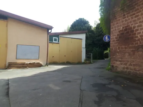


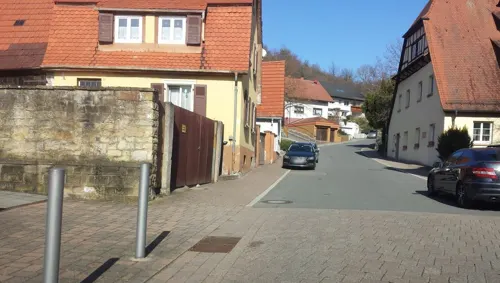

Wiesloch Feldbahn and Industrial Museum
Museum · 4.1 km
Open-air museum

Altes Forstamt
Monument and historic site · 3.1 km
43 Heidelberger Straße, Wiesloch

Stadtapotheke
Monument and historic site · 2.9 km
96 Hauptstraße, Wiesloch

Baumkelter
Monument and historic site · 1.9 km
Das ist eine historische Weinpresse. Ein sog. Baumkelter oder Trotte oder Torkel genannt. (Das Bild zeigt noch den früheren Standort am...
24/7


Ehemalige Wasserburg (Altwiesloch)
Monument and historic site · 3.2 km

31 more on the map.
Parks, trails and playgrounds32





WieTalBad
Sports field and stadium · 2.2 km
May,Sep: Mo-Su,PH 09:00-19:00, Jun-Aug: Mo-Su,PH 09:00-20:00,...
20 more on the map.
Restaurants and cafes114

Rutz
Bakery · 2.7 km
Café und Bäckerei
128 Hauptstraße, Wiesloch
Mo-Fr 06:00-19:00; Sa 06:00-16:00; Su 07:00-17:00

Artemis
Restaurant · Greek · 2.9 km
Biergarten im modernen Innenhof. Sehr authentische und hochwertige griechische Küche.
78 Hauptstraße, Wiesloch
Mo-Su 11:30-14:30; 17:30-24:00
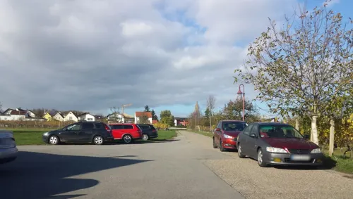
Bernies Café Malsch
Cafe · Regional · 3.1 km
12 Rettigheimer Straße, Malsch
Mo 09:30-17:00; Th-Su 09:30-17:00
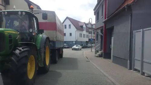

Eiscafé Venezia
Cafe · Ice Cream · 2.7 km
124 Hauptstraße, Wiesloch
Mo-Sa 09:00-22:00; Su,PH 10:00-22:00; Nov-Feb off
Fredos
Restaurant · Pizza · 0.6 km
3 Schwarzer Stock, Rauenberg
Tu-Fr 17:30-22:00;Sa 17:00-22:00;Su 17:00-21:00
INDE FUSION
Restaurant · Indian · 2.8 km
1a Uhlandstraße, Mühlhausen
Mo,Th-Su 11:30-14:00,17:30-22:00; Tu,We 17:30-22:00


Negri's 73
Restaurant · Ice Cream, Italian, Mediterranean, Pasta, Pizza, Seafood · 3.1 km
1 Kirchberg
We-Su 17:00-22:00
Okami
Restaurant · Vietnamese, Japanese, Sushi · 2.9 km
5-7 Schloßstraße, Wiesloch
Mo-Su 11:00-15:00, 17:00-23:00
TSG Gaststätte Wiesloch
Restaurant · Austrian, German, International · 3.2 km
5/1 Parkstraße, Wiesloch
Mo-Sa 17:00-23:00; Tu off; Su 11:00-14:00,17:00-23:00
102 more on the map.
Where to stay12
Best Western Plus Palatin Boarding House
Motel and hotel · 2.7 km
12 Ringstraße, Wiesloch
Churches and places of worship26
Kirche St. Cäcilia
Church · Catholic · 2.8 km
6 Untere Mühlstraße, Mühlhausen
Shopping26
Gas and EV charging17
Schools, colleges and libraries24
Healthcare10
Nephrologisches MVZ mit Dialysezentrum Wiesloch ze:roPRAXEN
Clinic and pharmacy · 3.0 km
Map of Rauenberg
250 places. The map loads OpenStreetMap tiles when you open it.
Getting there and nearby towns
City-Airport Mannheim (MHG) is the nearest airport with scheduled flights listed in OpenStreetMap, 27 km away.
- Wiesloch 3 km north, about 3 min by car
- Östringen 6 km south, about 6 min by car
- Walldorf 6 km northwest, about 6 min by car
- Nußloch 6 km north, about 6 min by car
- Sankt Leon-Rot 6 km west, about 6 min by car
- Leimen 9 km north, about 9 min by car
- Sandhausen 9 km north, about 9 min by car
- Reilingen 10 km west, about 10 min by car
- Meckesheim 10 km northeast, about 10 min by car
- Hoffenheim 10 km east, about 10 min by car
Drive times are estimates from straight-line distance, not routes.
Local news
Headlines from INDB.
Reviews, tips and questions
Loading what members have shared...
Sources and licences
- GeoNames (CC BY 4.0): population, coordinates, regions and time zone
- Mapillary (see each image): photos
- OpenStreetMap contributors (ODbL 1.0): places, airports, map data
- Wikidata (CC0 1.0): elevation, founding date, time zone, website, landmarks and historic places
- Wikimedia Commons (see each image): photos
- Wikipedia (CC BY-SA 4.0): overview and history text
Photo credits
- Rauenberg, Germany - panoramio (2), Otmar Merkel, CC BY 3.0
- Rauenberg Katholische Kirche 20070327, Rudolf Stricker, Public domain
- Rauenberg, Germany - panoramio (6) cropped - Naturschutzgebiet Altenbachtal und Galgenberg, Otmar Merkel, CC BY 3.0
- Rauenberg Rathaus 20100818, Rudolf Stricker, Attribution
- Rauenberg, Germany - panoramio, Otmar Merkel, CC BY 3.0
- Rauenberg, Germany - panoramio (3), Otmar Merkel, CC BY 3.0
- Rauenberg, Germany - panoramio (5), Otmar Merkel, CC BY 3.0
- Rauenberg, Germany - panoramio (6), Otmar Merkel, CC BY 3.0
- Wiesloch Haus mit Hirsch und Jagdmotiven, 4028mdk09, CC BY-SA 3.0
- Wiesloch-Hospiz, Peter Schmelzle, CC BY-SA 3.0
- Dielheim - Das Kreuz am Fuße des ehemaligen Schlosses - 2016-12-03 16-02-31, Photographs by Radosław Drożdżewski (User:Zwiadowca21), CC BY-SA 4.0
- Rauenberg Winzermuseum 20070327, Rudolf Stricker, Public domain
- Wiesloch Evangelische Stadtkirche 20070327, Rudolf Stricker, Public domain
- Malsch-St-Juliana-Kirche, 4028mdk09, CC BY-SA 3.0
- Malsch-letzenbergkapelle2011, peter schmelzle, CC BY-SA 3.0
- Bronner Headline, Johann Philipp Bronner Schule (BeSt), CC BY-SA 4.0
- Ottheinrich Gymnasium Wiesloch, BeSt, CC BY-SA 4.0
- Altwiesloch-Pankratiuskapelle-2012, Peter Schmelzle, CC BY-SA 3.0
- Schloss Rotenberg - 2014-11-01 17-25-44, Photographs by Radosław Drożdżewski (User:Zwiadowca21), CC BY-SA 4.0
- Mühlhausen katholische Kirche 20110222, Rudolf Stricker, Attribution
- Rettigheim Katholische Kirche 20110222, Rudolf Stricker, Attribution
- St. Nikolaus (Rotenberg) 2, Claus Ableiter, CC BY-SA 3.0
- Wiesloch Stadtapotheke Erste Tankstelle 20100620, Rudolf Stricker, Attribution
- Altwiesloch Burg2, Andreas Rockstein Kurpfalzbilder.de, Public domain
- Wassergraben im NSG Hochholz-Kapellenbruch, Gabriella Schmidt, CC BY-SA 3.0
- 20110816St. Wolfgang Malschenberg, AnRo0002, CC0
- NSG-Wiesloch-Frauenweiler mit Iris sibirica, Ditte Bandini, CC BY-SA 4.0
- Dielheim-cyriak-2012-91, Peter Schmelzle, CC BY-SA 3.0
- Degreif Welle Wiesloch, 4028mdk09, CC BY-SA 3.0
- Rotenberg Eckturm, Andreas Rockstein, Public domain
- Wiesloch Katholische Kirche St.Laurentius 20100620, Rudolf Stricker, Attribution
- Malsch Katholische Kirche 20110222, Rudolf Stricker, Attribution
- Wiesloch, Germany - panoramio (8), Otmar Merkel, CC BY 3.0
- Wiesloch, Germany - panoramio (6), Otmar Merkel, CC BY 3.0
- Malsch (bei Heidelberg) - Letzenberg-Kapelle - Kruzifix 4, Roman Eisele, CC BY-SA 4.0
- Street-level photo, changchun1, CC BY-SA 4.0
- Street-level photo, wegavision, CC BY-SA 4.0
- Street-level photo, agranizo, CC BY-SA 4.0
- Street-level photo, wegavision, CC BY-SA 4.0
- Street-level photo, changchun1, CC BY-SA 4.0
- Street-level photo, c0rnsnake, CC BY-SA 4.0
- Street-level photo, c0rnsnake, CC BY-SA 4.0
- Street-level photo, dns_vlpt, CC BY-SA 4.0
- Street-level photo, changchun1, CC BY-SA 4.0
- Street-level photo, wegavision, CC BY-SA 4.0
- Street-level photo, c0rnsnake, CC BY-SA 4.0
- Street-level photo, teddy73, CC BY-SA 4.0
- Street-level photo, teddy73, CC BY-SA 4.0
- Street-level photo, baldur80, CC BY-SA 4.0
- Street-level photo, teddy73, CC BY-SA 4.0
- Street-level photo, c0rnsnake, CC BY-SA 4.0
- Street-level photo, wegavision, CC BY-SA 4.0


Page built November 9, 2026. Spotted a mistake? Tell us or suggest a place.