


Why visit Krumbach
Townapedia lists 15 museums and landmarks, 9 parks and trails, 60 places to eat, 10 places to stay and 9 attractions in and around town.
Highlights include CinePark, Hoflädele "Beim Bäschte" Nordhofen, Altes Rathaus and Mittelschwäbisches Heimatmuseum.
Weather in Krumbach
Forecast from MET Norway (CC BY 4.0). Full forecast
About Krumbach
Krumbach (German pronunciation: [ˈkʁʊmbax] ; officially Krumbach (Schwaben)) is a town with 13,000 residents in the district Günzburg in Swabia, Bavaria, Germany. It is the second biggest town in the district.
From the Wikipedia article Krumbach, Bavaria (this version), under CC BY-SA 4.0.
Things to do9



Museums and landmarks15

Altes Rathaus
Monument and historic site
1 Marktplatz, Krumbach (Schwaben)

Mittelschwäbisches Heimatmuseum
Museum · 0.6 km
3-5 Heinrich-Sinz-Straße, Krumbach (Schwaben)
Th-Su 14:00-17:00

Trachtenforschungs- und Beratungsstelle des Bezirks Schwaben
Monument and historic site
15 Hürbener Straße, Krumbach (Schwaben)


Hürbener Wasserschloß
Monument and historic site
51 Karl-Mantel-Straße, Krumbach (Schwaben)

Krumbacher Schloss
Monument and historic site
1 Burgberg, Krumbach (Schwaben)

Schloss Niederraunau
Monument and historic site · 2.4 km
8 Schloßstraße, Krumbach (Schwaben)


3 more on the map.
Parks, trails and playgrounds9




Restaurants and cafes60

Cennis Pizzabar
Restaurant · Pizza
7 Bahnhofstraße, Krumbach (Schwaben)
Mo-Sa 11:00-14:00,16:30-21:00; Su,PH 16:30-21:00
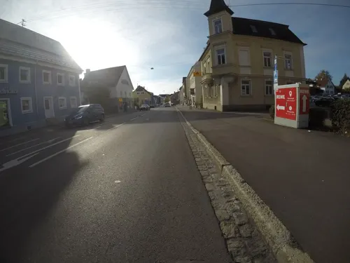
Chinatown
Restaurant · Chinese · 0.6 km
45 Bahnhofstraße, Krumbach (Schwaben)
Mo-Su 11:30-15:00,17:30-23:30

Denise Bistro-Pizza
Restaurant · Italian · 0.6 km
Heinrich-Sinz-Straße, Krumbach (Schwaben)
Mo-Su 17:00-23:00; Tu off
Dorfwirtschaft
Restaurant · Pizza, Burger, Salad, Pasta, Spare Rips · 4.9 km
5, Breitenthal
We-Sa 17:00-22:00; Su 11:00-14:00,17:00-22:00
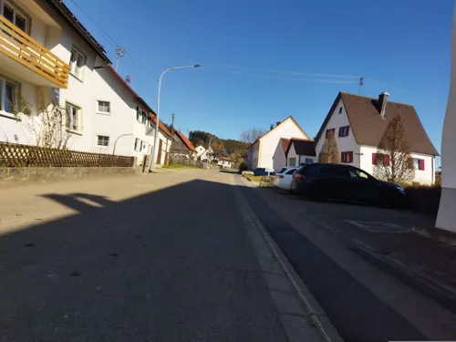
Gasthaus Hirsch
Restaurant · 5.3 km
2 Wirtsgasse, Aletshausen
Mo-Tu,Th 11:00-13:00; We,Fr-Su 09:30-22:30
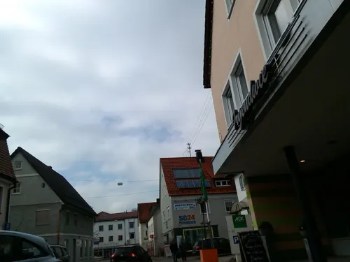
Haveli
Restaurant · Indian
43 Karl-Mantel-Straße, Krumbach (Schwaben)
11:30-14:30,17:30-23:00; Sa 17:00-23:00
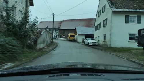
Hofwirtschaft "Beim Bäschte" Nordhofen
Restaurant · Bavarian · 3.7 km
9 Nordhofen, Deisenhausen
Sa 17:00-00:00; Su 17:00-24:00
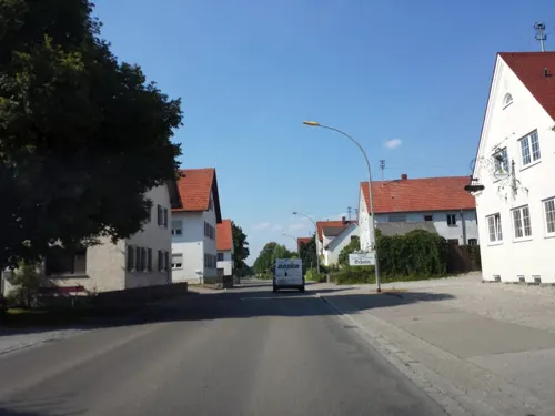
Landhaus Schuler
Restaurant · Regional · 2.0 km
18 Hürber Straße, Krumbach (Schwaben)
Mo-Fr 11:00-14:00,18:00-24:00; Sa 18:00-24:00; Su 11:00-23:00; Tu off
Ristorante & Pizzeria da Felice
Restaurant · Italian
46 Karl-Mantel-Straße, Krumbach (Schwaben)
Mar 27-Oct 30 PH,Tu-Su 11:00-14:00,17:00-23:00; Oct 31-Mar 26...
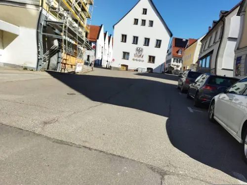


Chef's Food
Restaurant · 3.3 km
33b Hauptstraße, Krumbach (Schwaben)
Th-Sa 17:00-21:30; Su 11:30-21:00

Ihle
Bakery · 0.7 km
51 Bahnhofstraße, Krumbach (Schwaben)
Mo-Fr 06:00-19:00; Sa 06:00-17:00; Su 08:00-18:00
48 more on the map.
History
In 1156 Krumbach was mentioned in documents the first time, in 1370 the village got the right to hold a market. From 1305 until 1805 Krumbach was part of the Margraviate of Burgau, which was part of the Habsburg Further Austria. In the year 1805 Krumbach became Bavarian by the Peace of Pressburg. 90 years later Krumbach became a town. In the year 1902 the previously independent municipality Hürben, a neighbouring village of Krumbach, merged into Krumbach. Until the time of the Third Reich Hürben had a high percentage of Jewish residents in comparison to the Bavarian average.
Until 1972 Krumbach was the district seat of the administrative district Krumbach (Swabia).
Bavarian regional reforms merged the previously independent municipalities of Hohenraunau (1972/01/01), Billenhausen with Hirschfelden (1972/07/01), Edenhausen with the Krumbad (1973/01/01), Attenhausen (1977/01/01) and Niederraunau (1978/05/01) into Krumbach.
The Krumbad is a health resort approximately one kilometre east of Krumbach. It is the oldest health resort of Swabia.
From the History section of Krumbach, Bavaria on Wikipedia, under CC BY-SA 4.0.
Where to stay10
Cafe-Hotel-Restaurant Postkeller
Motel and hotel · 1.0 km
101 Nattenhauser Straße, Krumbach (Schwaben)
Gasthof Munding
Motel and hotel · 0.6 km
40 Augsburger Straße, Krumbach (Schwaben)
Churches and places of worship48
Sankt Michael
Church · Catholic
18 Kirchenstraße, Krumbach (Schwaben)
Apostelkirche
Church · Lutheran · 0.8 km
24 Burgauer Straße, Krumbach (Schwaben)
Ecce Homo Kapelle
Church · Catholic · 2.6 km
25 Raiffeisenstraße, Krumbach (Schwaben)
Filialkirche St. Zeno
Church · Roman Catholic · 4.4 km
6 Kirchberg, Deisenhausen
Friedhofskapelle Sankt Maria
Church · Catholic
57 Babenhauser Straße, Krumbach (Schwaben)
Herz-Jesu-Kapelle
Church · Catholic · 2.8 km
11 Schloßberg, Krumbach (Schwaben)
Hlgst. Dreifaltigkeit
Church · Roman Catholic · 2.4 km
4 Pfarrgasse, Krumbach (Schwaben)
Mariä Himmelfahrt
Church · Roman Catholic · 5.1 km
7 Schulstraße, Deisenhausen
Maria-Hilf-Kirche
Church · Catholic · 0.8 km
28 Burgauer Straße, Krumbach (Schwaben)
Pfarrkirche St. Otmar und Juliana
Church · Catholic · 4.3 km
4 St.-Otmar-Straße, Krumbach (Schwaben)
Shopping17
Gas and EV charging6
Schools, colleges and libraries11
Healthcare5
Ärztehaus Krumbach Nord
Clinic and pharmacy · 0.7 km
51 Bahnhofstraße, Krumbach (Schwaben)
Ärztehaus Krumbach Süd
Clinic and pharmacy · 0.6 km
47, 47a, 49 Bahnhofstraße, Krumbach (Schwaben)
Map of Krumbach
190 places. The map loads OpenStreetMap tiles when you open it.
Getting there and nearby towns
Memmingen Airport (FMM) is the nearest airport with scheduled flights listed in OpenStreetMap, 30 km away.
- Weißenhorn 17 km northwest, about 17 min by car
- Vöhringen 21 km west, about 21 min by car
- Mindelheim 24 km southeast, about 24 min by car
- Neu-Ulm 31 km northwest, about 31 min by car
- Schwabmünchen 30 km east, about 30 min by car
- Ulm 33 km northwest, about 33 min by car
- Memmingen 32 km southwest, about 32 min by car
- Langenau 34 km northwest, about 34 min by car
- Laupheim 36 km west, about 36 min by car
- Augsburg 42 km east, about 42 min by car
Drive times are estimates from straight-line distance, not routes.
Local news
Headlines from INDB.
Reviews, tips and questions
Loading what members have shared...
Sources and licences
- GeoNames (CC BY 4.0): population, coordinates, regions and time zone
- Mapillary (see each image): photos
- OpenStreetMap contributors (ODbL 1.0): places, airports, map data
- Wikidata (CC0 1.0): elevation, founding date, time zone, website
- Wikimedia Commons (see each image): photos
- Wikipedia (CC BY-SA 4.0): overview and history text
Photo credits
- Krumbach vom Reschenberg aus, Johann2, CC BY-SA 3.0
- Krumbach Bahnhofstraße 7, Krumbacher, Public domain
- Krumbach Marktplatz 17 b, Krumbacher, CC0
- Krumbach Nassauer Straße 1, Krumbacher, CC0
- Krumbach (Schwaben), zicht op Marktplatz IMG 0178 2025-08-29 17.34, Michielverbeek, CC BY 4.0
- Altes Rathaus Krumbach Westfassade Fassadenmalerei, Krumbacher, Public domain
- Altes Rathaus Krumbach Westfassade, Krumbacher, Public domain
- Bach-Krumbach, Wassily, CC BY-SA 3.0
- Krumbach - Kammel & Stadtpfarrkirche, DerGeograph&Wirtschaftswissenschaftler, CC BY 4.0
- Krumbach Rittlen 5, Krumbacher, Public domain
- St Ulrich Krumbach im Vordergrund die Kammel, Krumbacher, Public domain
- Krumbach (Schwaben), katholische Stadtpfarrkirche Sankt Michael DmD-7-74-150-29 IMG 0150 2025-08-29 16.58, Michielverbeek, CC BY-SA 3.0 de
- Krumbach (Schwaben), straatzicht Bahnhofstrasse naar de Kammel IMG 0157 2025-08-29 17.05, Michielverbeek, CC BY 4.0
- Krumbach Rittlen 9 und 9a, Krumbacher, Public domain
- Krumbach Rathaus, Unknown author, CC BY-SA 3.0
- Krumbach Karl-Mantel-Straße 12, Krumbacher, CC0
- Krumbach - panoramio, Richard Mayer, CC BY 3.0
- KRU Schild an der Grenze zwischen Krumbach und Hürben, Krumbacher, CC0
- Krumbach (Schwaben), de Mühlkapelle DmD-7-74-150-18 IMG 0171 2025-08-29 17.16, Michielverbeek, CC BY-SA 3.0 de
- Schloss Krumbach vom Stadtpark aus, Krumbacher, CC0
- Stadtpfarrkirche St Michael und Schloss Krumbach vom Stadtpark aus (Frühling), Krumbacher, Public domain
- Stadtpark Krumbach Fontäne, Krumbacher, Public domain
- Mühlkapelle Krumbach vom Stadtpark aus, Krumbacher, Public domain
- Lindlkirche Krumbach 2, Krumbacher, Public domain
- Ecce-Homo-Kapelle Niederraunau, Krumbacher, Public domain
- Hohenraunau HerzJesuKapelle Südansicht, Flussar, CC BY-SA 4.0
- Mittelschwäbisches Heimatmuseum Krumbach 1, Krumbacher, CC0
- Maria Hilf Kirche Krumbach 1, Krumbacher, Public domain
- Schloss Niederraunau 1, Krumbacher, Public domain
- Attenhausen Blick von Sueden, Krumbacher, Public domain
- Nattenhausen Kriegergedaechtniskapelle3, Flussar, CC BY-SA 4.0
- Oberbleichen StZeno NO, Flussar, CC BY-SA 4.0
- Unterbleichen MariäHimmelfahrt aSO2, Flussar, CC BY-SA 4.0
- KRU-WaSchl01, -- Martin Egg ( talk ), CC BY-SA 3.0
- West shore in the sunset, Lotti486, CC BY-SA 4.0
- Niederraunau HlgstDreifaltigkeit aNO1, Flussar, CC BY-SA 4.0
- Oberegger Stausee 02, Looniverse, CC BY-SA 4.0
- Krumbacher exSynagoge, Unknown author, CC BY-SA 3.0
- KRU altes Rathaus, Krumbacher, Public domain
- Krumbach Hürbener Straße 15, Krumbacher, CC0
- KRU-Rathau01, -- Martin Egg ( talk ), CC BY-SA 3.0
- KRU-St-Michael, -- Martin Egg ( talk ), CC BY-SA 3.0
- KRU-LiSchl01, -- Martin Egg ( talk ), CC BY-SA 3.0
- Friedhofskapelle Westfriedhof, Johann2, CC BY-SA 3.0
- Street-level photo, Krumapper, CC BY-SA 4.0
- Street-level photo, maturion, CC BY-SA 4.0
- Street-level photo, mfa, CC BY-SA 4.0
- Street-level photo, ente, CC BY-SA 4.0
- Street-level photo, Krumapper, CC BY-SA 4.0
- Street-level photo, changchun1, CC BY-SA 4.0
- Street-level photo, changchun1, CC BY-SA 4.0
- Street-level photo, soulcover, CC BY-SA 4.0
- Street-level photo, heetENkoel, CC BY-SA 4.0
- Street-level photo, soulcover, CC BY-SA 4.0
- Street-level photo, maturion, CC BY-SA 4.0
- Street-level photo, soulcover, CC BY-SA 4.0
- Street-level photo, heetENkoel, CC BY-SA 4.0
- Street-level photo, Krumapper, CC BY-SA 4.0
- Street-level photo, soulcover, CC BY-SA 4.0
- Street-level photo, Krumapper, CC BY-SA 4.0
- Street-level photo, ente, CC BY-SA 4.0
- Street-level photo, ente, CC BY-SA 4.0


Page built November 8, 2026. Spotted a mistake? Tell us or suggest a place.