


Why visit Liebenburg
Townapedia lists 62 museums and landmarks, 21 parks and trails, 62 places to eat, 10 places to stay and 65 attractions in and around town.
Highlights include Hofladen Bormann, Schlangenfarm Schladen, Eisenerzgrube Anna & Hoffnung and Heimatmuseum Döhren.
Weather in Liebenburg
Forecast from MET Norway (CC BY 4.0). Full forecast
About Liebenburg
Liebenburg (German pronunciation: [ˈliːbn̩bʊʁk]) is a municipality in the district of Goslar, in Lower Saxony, Germany.
From the Wikipedia article Liebenburg (this version), under CC BY-SA 4.0.
Things to do65

Hofladen Bormann
Farm and orchard · 2.6 km
1 Spilleworth, Liebenburg
Fr 07:00-12:00,15:00-18:00; Sa 07:00-12:00

Schlangenfarm Schladen
Zoo and aquarium · 7.1 km
5 Im Gewerbegebiet, Schladen-Werla
Mar Su[-1]-Oct Su[-1] -1 day: 10:00-18:00; Oct Su[-1]-Mar Su[-1]...


Salzgitter-Bad
Monument and historic site · 5.4 km
Quarter of Salzgitter in Lower Saxony, Germany
Hofladen Haars
Farm and orchard · 4.6 km
8 Konsul-Waßmuß-Straße, Salzgitter
Mo-Fr 07:00-19:30; Sa 08:00-12:00


53 more on the map.
Museums and landmarks62



Royal palace of Werla
Monument and historic site · 8.6 km
10th century palace of the Holy Roman Empire, located in Lower Saxony

Barockschloss Liebenburg
Monument and historic site · 0.7 km
32 Burgberg, Liebenburg



50 more on the map.
Parks, trails and playgrounds21

Golf Club Salzgitter/Liebenburg e.V.
Golf course · 2.7 km
Golfclub mit 18 Bahnen, Driving Range, Golfschule, Restaurant - siehe Webseite. Die Anlage ist immer geöffnet, Büro und Golfschule sind...
Sportpark Mahner Berg, Salzgitter
"Büro Sommer: Mo. 10-14 Uhr, Di-Fr. 10-18 Uhr, Sa, So+Feiertag 10-15 Uhr"




Thermalsolbad
Sports field and stadium · 3.8 km
3 Parkallee
Tu-Fr 09:30-21:00; Sa,Su 08:30-19:00; Mo off


9 more on the map.
Restaurants and cafes62
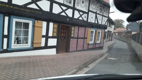

Waldgaststätte Hasenspring
Restaurant · German · 3.0 km
136 Hasenspringweg
Tu-Fr 14:00-24:00; Sa, Su 11:00-24:00; Mo off


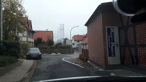
Pizza Pappa
Restaurant · Pizza
11 Lindenstraße, Liebenburg
Tu-Su 17:00-22:00
Waldcafé & Hüttenzauber
Restaurant · German · 0.8 km
2 Poststraße, Liebenburg
We-Fr 10:00-18:00; Sa-Su 11:00+
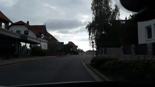
Dreams Restaurant & Café
Restaurant
35 Poststraße, Liebenburg
Tu-Fr 11:30-14:00; 17:00-22:00; Sa, Su 11:30-22:00; Mo off
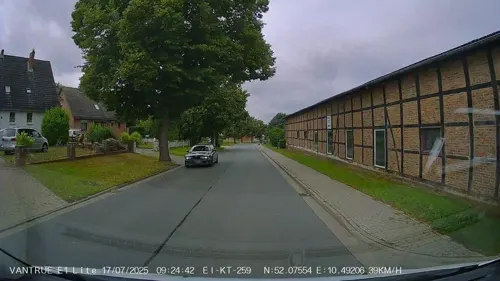
Kutscherstuben
Restaurant · 7.2 km
5 Lindenstraße, Flöthe
We-Sa 18:00-22:00; Su 11:30-14:00
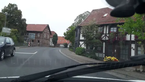


Restaurant Kreta
Restaurant · 7.4 km
2 Harzstraße, Schladen-Werla
Mo-Sa off; Su 11:30-14:00,17:30-24:00
50 more on the map.
History
Archaeological excavations of a gallery grave indicate a settlement of the area in the Late Neolithic. The former Saxon estates in 1235 belonged to the territory of the newly established Prince-Bishopric of Hildesheim.
From 1292 to 1302, Prince-bishop Siegfried II of Querfurt had the Levenborch spur castle erected in the Salzgitter Hills, near where his episcopal lands bordered on the Principality of Brunswick-Wolfenbüttel. From 1366 it was pawned by his successors to the citizens of Braunschweig, important to secure the trade route to the Imperial City of Goslar.
The castle was seized by the warlike duke Henry V of Brunswick-Wolfenbüttel after the Hildesheim Diocesan Feud in 1523 and temporarily served as hidden residence of his mistress Eva von Trott. The Catholic duke in turn lost it to the Protestant Schmalkaldic League, whose troops campaigned the Brunswick lands from 1542 until their final defeat in the 1547 Battle of Mühlberg. During the Thirty Years' War, the stronghold was used as headquarters by the Imperial Generalissimo Albrecht von Wallenstein in 1625, it was occupied by Swedish troops in 1633, and reconquered by the Imperial Army in 1641.
From the History section of Liebenburg on Wikipedia, under CC BY-SA 4.0.
Where to stay10
Churches and places of worship25
Shopping12
Gas and EV charging11
Schools, colleges and libraries17
Healthcare11
Map of Liebenburg
250 places. The map loads OpenStreetMap tiles when you open it.
Getting there and nearby towns
Forschungsflughafen Braunschweig-Wolfsburg (BWE) is the nearest airport with scheduled flights listed in OpenStreetMap, 34 km away.
- Schladen 7 km east, about 7 min by car
- Langelsheim 12 km southwest, about 12 min by car
- Vienenburg 12 km southeast, about 12 min by car
- Goslar 13 km south, about 13 min by car
- Salzgitter 15 km north, about 15 min by car
- Wolfenbüttel 18 km northeast, about 18 min by car
- Bad Harzburg 18 km southeast, about 18 min by car
- Bockenem 21 km west, about 21 min by car
- Seesen 23 km southwest, about 23 min by car
- Lengede 22 km northwest, about 22 min by car
Drive times are estimates from straight-line distance, not routes.
Local news
Headlines from INDB.
Reviews, tips and questions
Loading what members have shared...
Sources and licences
- GeoNames (CC BY 4.0): population, coordinates, regions and time zone
- Mapillary (see each image): photos
- OpenStreetMap contributors (ODbL 1.0): places, airports, map data
- Wikidata (CC0 1.0): elevation, founding date, time zone, website, landmarks and historic places
- Wikimedia Commons (see each image): photos
- Wikipedia (CC BY-SA 4.0): overview and history text
Photo credits
- Blick Liebenburg, B.Thomas95, CC BY-SA 3.0
- Liebenburg Schlosskirche 2016, Kirchenfan, CC0
- Liebenburg Schlosskirche Orgel Wappen, Rabanus Flavus, CC0
- Liebenburg Schlosskirche Orgel 02, Rabanus Flavus, CC0
- Mariä Verkündigung (Liebenburg) Inneres 02, Rabanus Flavus, CC0
- Liebenburg Stolpersteine gesamt 1, Migebert, CC BY-SA 3.0
- Liebenburg Stolperstein Bloch, Ida, Migebert, CC BY-SA 3.0
- Liebenburg Stolperstein Leeser, Julchen, Migebert, CC BY-SA 3.0
- Liebenburg Stolperstein Drack, Sabine, Migebert, CC BY-SA 3.0
- Liebenburg Stolperstein Steinberg, Johanne, Migebert, CC BY-SA 3.0
- Liebenburg Stolperstein Infostein, Migebert, CC BY-SA 3.0
- Liebenburg Stolperstein Tasse, Elsa, Migebert, CC BY-SA 3.0
- Liebenburg Stolpersteine gesamt, Migebert, CC BY-SA 3.0
- Liebenburg Stolperstein Schönthal, Sophie, Migebert, CC BY-SA 3.0
- Liebenburg Stolperstein Weil, Ernestine, Migebert, CC BY-SA 3.0
- Liebenburg Stolperstein Rosenthal, Sophie, Migebert, CC BY-SA 3.0
- Liebenburg Stolperstein Windmüller, Anna, Migebert, CC BY-SA 3.0
- Liebenburg Stolpersteine Lage, Migebert, CC BY-SA 3.0
- Liebenburg Theresienstift 2, Kirchenfan, CC0
- St Trinitatis Liebenburg 01, Rabanus Flavus, CC0
- St Trinitatis Liebenburg 06, Rabanus Flavus, CC0
- St Trinitatis Liebenburg 03, Rabanus Flavus, CC0
- St Trinitatis Liebenburg 04, Rabanus Flavus, CC0
- St Trinitatis Liebenburg 02, Rabanus Flavus, CC0
- St Trinitatis Liebenburg 05, Rabanus Flavus, CC0
- Liebenburg Schloss, Kirchenfan, CC0
- Schloss Liebenburg, Nordwestseite 02, Rabanus Flavus, CC0
- Schloss Liebenburg, Nordwestseite 03, Rabanus Flavus, CC0
- Schloss Liebenburg, Nordwestseite 04, Rabanus Flavus, CC0
- Schloss Liebenburg, Nordwestseite 01, Rabanus Flavus, CC0
- Liebenburg, Schlosskirche Mariä Verkündigung, der Altar, Dguendel, CC BY 4.0
- Schlosskirche Liebenburg Altarbild, Dguendel (changes by Rabanus Flavus ), CC BY 4.0
- Liebenburg, Schlosskirche Mariä Verkündigung, die Orgel, Dguendel, CC BY 4.0
- SchlossLiebenburgSuedpano, Kassandro, CC BY-SA 4.0
- Liebenburg, das Schloss, Dguendel, CC BY 4.0
- Liebenburg, Blick vom Burgberg zum Teich und zum Gut, Dguendel, CC BY 4.0
- Liebenburg, Blick vom Burgberg nach Süden, Dguendel, CC BY 4.0
- Freibad Liebenburg - panoramio, Thotti22, CC BY 3.0
- 1-SMAG-Salzgitter-Bad, Elmschrat Coaching38, CC BY-SA 3.0
- WerlaWestturmVonSueden, Okernick, CC BY-SA 3.0
- NSG BR 66 Barley - südliche Spitze (3), Lotte76, CC BY-SA 4.0
- Bismarckturm (Salzgitter-Bad), Prekario, CC BY-SA 3.0
- Liebenburg Schlosskirche Mariae Verkuendigung, Schloss_liebenburg.JPG : User Grosses s on de.wikipedia derivative work: Rabanus Flavus ( talk ), CC BY-SA 3.0
- Bäume im Naturschutzgebiet 02, Madcoy54, CC BY-SA 4.0
- Voeppstedter Ruine von Osten, ChoG, CC BY-SA 3.0
- Salzgitter-Bad - Kniestedter Kirche, Johamar, CC BY 3.0
- Burg Liebenburg Hausmannsturm von unten, Axel Hindemith, CC BY 3.0
- Schroederstollen - Einfahrt, Johamar, CC BY-SA 3.0
- Salzgitter-Bad - Kirche St Mariae-Jakobi - Nordseite, Johamar, CC BY 3.0
- Salzgitter-Bad Kirche Marien, Kirchenfan, CC0
- Salzgitter-Bad Christ König 2, Kirchenfan, CC0
- Schladen Kirche kath, Kirchenfan, CC0
- Liebenburg - Grenzlerburg - Innenwall-Mauerung 2015-04, Johamar, CC BY-SA 4.0
- Othfresen Jioseph 3, Kirchenfan, CC0
- Christuskirche von Salzgitter-Gitter 2018-04, Johamar, CC BY-SA 4.0
- Goslar-Hahndorf, St.-Kilians-Kirche, Steve Niewisch, CC BY-SA 4.0
- Erlöserkirche Othfresen Südwest, Kassandro, CC BY-SA 4.0
- Salzgitter-Bad - Martin-Luther-Kirche - Ansicht vom Hof 2013-08-26, Johamar, CC BY 3.0
- Eingang fontheim, Selenus23, CC BY-SA 4.0
- Dörnten Kirche 01, Rabanus Flavus, CC0
- Salzgitter-Bad, das Tillyhaus, Dguendel, CC BY 4.0
- Street-level photo, bielebog, CC BY-SA 4.0
- Street-level photo, bielebog, CC BY-SA 4.0
- Street-level photo, bielebog, CC BY-SA 4.0
- Street-level photo, Hightower-, CC BY-SA 4.0
- Street-level photo, bielebog, CC BY-SA 4.0
- Street-level photo, bielebog, CC BY-SA 4.0
- Street-level photo, Hightower-, CC BY-SA 4.0
- Street-level photo, bielebog, CC BY-SA 4.0
- Street-level photo, bielebog, CC BY-SA 4.0
- Street-level photo, Hightower-, CC BY-SA 4.0
- Street-level photo, Hightower-, CC BY-SA 4.0
- Street-level photo, bielebog, CC BY-SA 4.0
- Street-level photo, tian, CC BY-SA 4.0
- Street-level photo, chuck, CC BY-SA 4.0


Page built November 9, 2026. Spotted a mistake? Tell us or suggest a place.