


Linz am Rhein, Germany
Linz am Rhein is a town of 6,008 people in Rheinland-Pfalz, Germany.
Why visit Linz am Rhein
Townapedia lists 124 museums and landmarks, 23 parks and trails, 118 places to eat, 14 places to stay and 12 attractions in and around town.
Highlights include Ludendorff Bridge, Hummelsberg, Friedensmuseum Brücke von Remagen and Rheintor.
Weather in Linz am Rhein
Forecast from MET Norway (CC BY 4.0). Full forecast
About Linz am Rhein
Linz am Rhein (German pronunciation: [ˈlɪnts ʔam ˈʁaɪn] , lit. 'Linz on the Rhine') is a municipality in the district of Neuwied, in Rhineland-Palatinate, Germany. It is situated on the right bank of the river Rhine near Remagen, approx. 25 km southeast of Bonn and has about 6,000 inhabitants. It is the sister city of Marietta, Georgia in the United States, Linz in Austria and Pornic in France.
From the Wikipedia article Linz am Rhein (this version), under CC BY-SA 4.0.
Photos of Linz am Rhein


Things to do12



Der Kleine Hofladen
Farm and orchard · 2.4 km
2 Hof Ronig, Dattenberg
Mo-Fr 09:00-12:00,13:00-18:00; Sa 09:00-12:00,13:00-15:00
Hofladen Schäffe-Hof
Farm and orchard · 3.7 km
- Highland-Cattle Zucht, Fleischwaren - Eier - Milch, Joghurt, Butter, Käse - Honig - Gemüse - Obst - Mehl, Brotmischungen
Mo 08:00-12:30; Tu-Fr 08:00-12:30, 14:00-19:00; Sa 08:00-16:00


Museums and landmarks124

Friedensmuseum Brücke von Remagen
Museum · 3.0 km
May-Oct: 10:00-18:00; Mar 07-Apr 30: 10:00-17:00; Nov 01-15:...



Bad Breisig
Monument and historic site · 4.3 km
Archaeological site in Germany

HeimatMuseum
Museum · 3.5 km
35 Barbarossastraße
Apr-Oct Th 14:00-17:00, Apr-Oct Fr 13:00-17:00, Apr-Oct Sa-Su...
112 more on the map.
Parks, trails and playgrounds23





11 more on the map.
Restaurants and cafes118
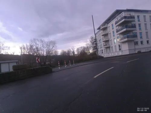
RheinHotel ARTE
Restaurant · International · 1.0 km
3 Rheinallee, Remagen
Mo-Fr 07:00-10:00, 17:00-21:00; Sa, Su 07:00-11:00, 17:00-21:00
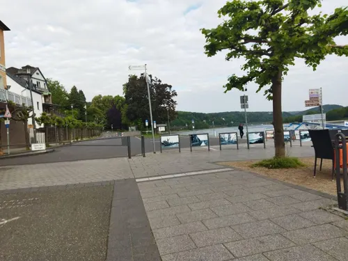
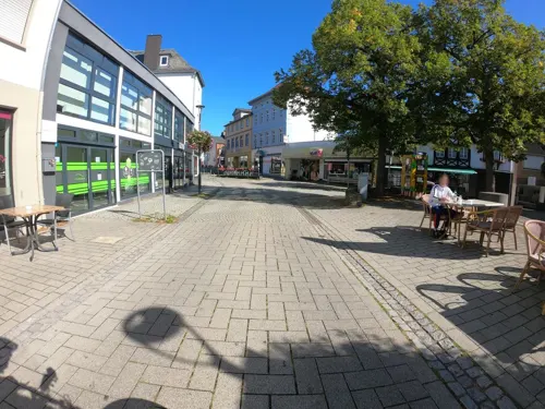
Kanpa's
Cafe · Turkish, Coffee Shop, Brunch, Cake, Dessert, Pastry, Soup, Middle Eastern, Salad, Bagel, Tea, Breakfast, Pancake · 3.7 km
1a Ausdorferstraße, Sinzig
Mo-Su 08:30-19:00
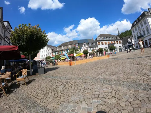
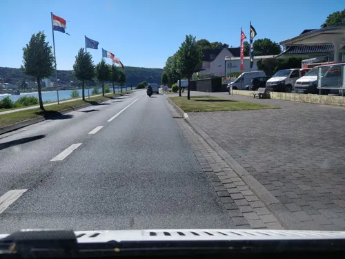
Zur Brücke
Restaurant · Steak House · 3.3 km
1 Rheinallee, Erpel
Mo-Sa 11:30-14:30, 17:00-22:00; Su,PH 11:30-22:00; We off
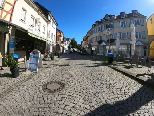
Café am Markt Vallazza
Cafe · Ice Cream · 3.7 km
10:00-21:00; Feb 21-Mar 14 10:00-19:00; Oct 01-Feb 20 Sa off
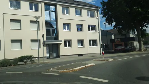
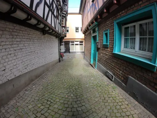

Om Maat
Restaurant · German · 3.6 km
6 Marktplatz, Erpel
We-Fr 11:00-14:00, 17:00-22:00; Sa-Su 11:00-22:00
Pizzeria & Restaurante Franco
Restaurant · Italian · 0.6 km
2 Vor dem Leetor, Linz am Rhein
We-Su 11:30-14:00,18:00-22:00; Mo,Tu off
Piccolo
Restaurant · Italian · 3.6 km
Tu-Sa 11:30-14:30, 17:30-22:30; Su, PH 11:30-15:00, 17:30-22:30; Mo off
106 more on the map.
History
The town of Linz was first mentioned in an official document in 874 and called "Lincesce".
Between 1206 and 1214 the parish church of St. Martin was built at the most elevated spot of the town. A former church, which was located at the same place, had been destroyed during the fights of Otto IV and Philip of Swabia in 1198. During reconstruction work in 1981 the remains of graves and foundations belonging to the former church were found.
The most important political decision for Linz was taken in the late Middle Ages. Between 1304 and 1332 Linz was officially awarded city status by the Archbishop of Cologne, Heinrich II of Virneburg. Shortly after having been declared a "city", the castle Burg Linz was built.
In 1391 a fire destroyed two thirds of the city. In 1475 the Emperor's troops occupied Linz during the Neuss War. The town hall, which is one of the major sights of Linz, was built in 1517.
In 1815, Linz became part of Prussia. One year later in 1816 Linz received the status of a district town ("Kreisstadt"). This status was revoked in 1822 and Linz became part of the Neuwied county.
After the Second World War, Linz became a part of Rhineland-Palatinate in 1946.
In the 1970s the city expanded with the new residential area "Roniger Hof". In 1979 the local hospital was put into service.
From the History section of Linz am Rhein on Wikipedia, under CC BY-SA 4.0.
Where to stay14
Churches and places of worship28
ehem. kath. Filialkirche St. Simeon
Church · Catholic · 0.9 km
62 Linzhausenstraße, Linz
Sankt Johannes Nepomuk
Church · Roman Catholic · 1.5 km
71 Quellenstraße, Remagen
Shopping31
Gas and EV charging8
Schools, colleges and libraries17
Healthcare9
Map of Linz am Rhein
250 places. The map loads OpenStreetMap tiles when you open it.
Getting there and nearby towns
Cologne Bonn Airport (CGN) is the nearest airport with scheduled flights listed in OpenStreetMap, 35 km away.
- Sinzig 4 km southwest, about 4 min by car
- Remagen 4 km west, about 4 min by car
- Bad Honnef 9 km northwest, about 9 min by car
- Bad Neuenahr-Ahrweiler 13 km west, about 13 min by car
- Königswinter 14 km northwest, about 14 min by car
- Wachtberg 15 km northwest, about 15 min by car
- Bonefeld 15 km east, about 15 min by car
- Andernach 18 km southeast, about 18 min by car
- Neuwied 20 km southeast, about 20 min by car
- Meckenheim 19 km west, about 19 min by car
Drive times are estimates from straight-line distance, not routes.
Towns near Linz am Rhein


Local news
Headlines from INDB.
Reviews, tips and questions
Loading what members have shared...
Sources and licences
- GeoNames (CC BY 4.0): population, coordinates, regions and time zone
- Mapillary (see each image): photos
- OpenStreetMap contributors (ODbL 1.0): places, airports, map data
- Wikidata (CC0 1.0): elevation, founding date, time zone, website, landmarks and historic places
- Wikimedia Commons (see each image): photos
- Wikipedia (CC BY-SA 4.0): overview and history text
Photo credits
- Linz am Rhein, Wolkenkratzer, CC BY-SA 3.0
- Neutor in Linz am Rhein 2010-06-29, Beckstet, CC BY-SA 3.0
- StAL BA 586 Linz am Rhein, Feuerwehr 1903, Stadtarchiv Linz am Rhein, CC BY-SA 2.0
- StAL BA 899 Linz am Rhein Jugendherberge um 1955, Stadtarchiv Linz am Rhein, CC BY-SA 2.0
- StAL BA 395 Linz am Rhein Brunnen am Neutor, Stadtarchiv Linz am Rhein, CC BY-SA 2.0
- Brunnen Linz am Rhein, LoKiLeCh, CC BY-SA 4.0
- Neutor, Linz am Rhein, Marcin-Janek, CC BY 3.0
- Linz am Rhein 1760 tobeid 237, Jacquesverlaeken, CC BY-SA 4.0
- Linz am Rhein Neustrasse 18 238, Jacquesverlaeken, CC BY-SA 4.0
- StAL BA 745 Linz am Rhein Klosterstraße Fachwerkhaus, Stadtarchiv Linz am Rhein, CC BY-SA 2.0
- StAL BA 393 Linz am Rhein Neutor um 1920, Stadtarchiv Linz am Rhein, CC BY-SA 2.0
- Linz am Rhein tobe id 239, Jacquesverlaeken, CC BY-SA 4.0
- Linz am Rhein, Auf dem Berg 6-20160608-001, Tilman2007, CC BY-SA 4.0
- Ludendorff Bridge from Erpeler Ley, U.S. Army Signal Corps, National Archives, Public domain
- Sinzig church, Doris Antony , Berlin, CC BY-SA 3.0
- Ockenfels, Tohma ( talk ), CC BY-SA 4.0
- Sankt Severinus Erpel-2, Sankt_Severinus_Erpel.jpg : Tohma derivative work: Rabanus Flavus ( talk ), CC BY-SA 3.0
- Kripp(Remagen)St.Johannes Nepomuk785, GFreihalter, CC BY-SA 3.0
- Erpel - Erpeler Ley, Wolkenkratzer, CC BY-SA 3.0
- Hummelsberg (Westerwald), De.Update, CC BY-SA 3.0
- Kapelle Schwarze Madonna in Remagen, Nicolas17, CC BY-SA 2.5
- Martinus-Gymnasium, Thomas Wolf ( Der Wolf im Wald ), CC BY-SA 3.0
- Pulverturm Linz am- Rhein, No machine-readable author provided. Rr~commonswiki assumed (based on copyright claims)., CC BY-SA 3.0
- Schloss Sinzig, Luftaufnahme, Wolkenkratzer, CC BY-SA 3.0
- FRIEDENSMUSEUM Brücke von Remagen Juli 2024, MeCorbeau, CC0
- Friedenskirche Remagen-4801, Raimond Spekking, CC BY-SA 4.0
- Antoniuskapelle Ohlenberg-Erl, Jules1202, CC BY-SA 3.0
- Servitessenkirche Linz Stadtarchiv, Tohma, CC BY-SA 4.0
- Linzhausenstraße 62,, Gisela Görgens, CC0
- Rheintor Linz am Rhein, Tohma ( talk ), CC BY-SA 4.0
- Neutor Linz am Rhein 2009, Tohma ( talk ), CC BY-SA 4.0
- Pulverturm Linz am Rhein, Dr. Eugen Lehle, CC BY-SA 3.0
- Linz am Rhein, Marktplatz, Mariensäule-20160608-001, Tilman2007, CC BY-SA 4.0
- Neutor Erpel, tohma, CC BY-SA 3.0
- Erpeler Ley 001, Кузнецов Сергей Михайлович (Kusnezow Sergej), CC BY-SA 3.0
- Ahr, Mündung, Wolkenkratzer, CC BY-SA 3.0
- Wohnmobilstellplatz Goldene Meile, Remagen-090439, Raimond Spekking, CC BY-SA 4.0
- Remagen, Kapelle Schwarze Madonna, Manfred Schröter, Berga, CC BY-SA 4.0
- Kapelle Ockenfels, Tohma ( talk ), CC BY-SA 4.0
- Panoramablick Erpeler Ley, Udo Scheuer, CC BY-SA 2.5
- Linz am Rhein Minderberg Restgipfel (2), Leit, CC BY-SA 4.0
- Blick vom Kaiserberg in Linz am Rhein auf die Ahrmündung, Geysirius, CC BY-SA 4.0
- Burg Rennenberg 2018-05-10 1, ReinhardSippel, CC BY-SA 4.0
- Street-level photo, VIA_CH, CC BY-SA 4.0
- Street-level photo, bernd1960, CC BY-SA 4.0
- Street-level photo, kalcaaro, CC BY-SA 4.0
- Street-level photo, VIA_CH, CC BY-SA 4.0
- Street-level photo, raymond, CC BY-SA 4.0
- Street-level photo, raymond, CC BY-SA 4.0
- Street-level photo, bernd1960, CC BY-SA 4.0
- Street-level photo, Lowiekse, CC BY-SA 4.0
- Street-level photo, bernd1960, CC BY-SA 4.0
- Street-level photo, changchun1, CC BY-SA 4.0
- Street-level photo, bernd1960, CC BY-SA 4.0
- Street-level photo, bernd1960, CC BY-SA 4.0
- Street-level photo, bernd1960, CC BY-SA 4.0
- Street-level photo, bernd1960, CC BY-SA 4.0
- Street-level photo, bernd1960, CC BY-SA 4.0
- Street-level photo, raymond, CC BY-SA 4.0
- Street-level photo, bernd1960, CC BY-SA 4.0
- Street-level photo, stili, CC BY-SA 4.0
- Street-level photo, VIA_CH, CC BY-SA 4.0
- Street-level photo, bernd1960, CC BY-SA 4.0
- Street-level photo, bernd1960, CC BY-SA 4.0
- Street-level photo, bernd1960, CC BY-SA 4.0
- Street-level photo, bernd1960, CC BY-SA 4.0
- Street-level photo, bernd1960, CC BY-SA 4.0
- Street-level photo, VIA_CH, CC BY-SA 4.0
- Street-level photo, bernd1960, CC BY-SA 4.0
- Street-level photo, bernd1960, CC BY-SA 4.0
- Street-level photo, bernd1960, CC BY-SA 4.0
- Street-level photo, bernd1960, CC BY-SA 4.0
- Street-level photo, lokilech, CC BY-SA 4.0


Page built November 9, 2026. Spotted a mistake? Tell us or suggest a place.