


Why visit Löbau
Townapedia lists 84 museums and landmarks, 16 parks and trails, 58 places to eat, 8 places to stay and 36 attractions in and around town.
Highlights include Kekila, King-Friedrich-August-Tower, Haus Schminke and Kursächsische Postmeilensäule.
Weather in Löbau
Forecast from MET Norway (CC BY 4.0). Full forecast
About Löbau
Löbau (German pronunciation: [ˈløːbaʊ] ; Upper Sorbian: Lubij, pronounced [ˈlubʲij] ) is a city in the east of Saxony, Germany, in the historical region of Upper Lusatia. It is situated between the slopes of the Löbauer Berg and the fertile hilly area of the Upper Lusatian Mountains. It is the gateway to this volcanic mountainous area and is situated halfway between the cities of Bautzen, Görlitz and Zittau.
From the Wikipedia article Löbau (this version), under CC BY-SA 4.0.
Things to do36


King-Friedrich-August-Tower
Monument and historic site · 2.0 km
Observation tower on Löbauer Berg
Eckladen
Farm and orchard
5 Bahnhofstraße, Löbau
Mo-Fr 09:00-13:00, 14:00-18:00; PH off




24 more on the map.
Museums and landmarks84


Kursächsische Postmeilensäule
Monument and historic site
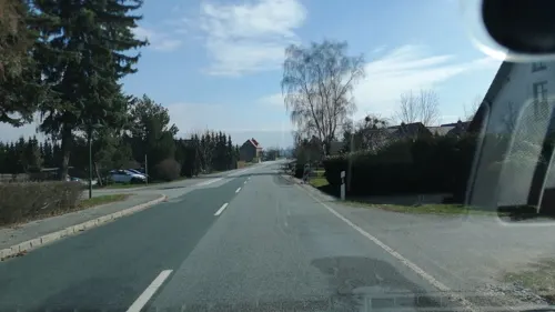
Kursächsische Distanzsäule in der Bahnhofstraße in Löbau (Nachbildung aus dem Jahr 1992)

Heimat- & Landwirtschaftsmuseum
Museum · 5.4 km
33 Oppacher Straße, Lawalde
"nach Vereinbarung"



72 more on the map.
Parks, trails and playgrounds16





4 more on the map.
Restaurants and cafes58

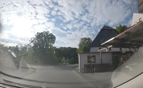
Bierstübel
Bar and pub · 0.8 km
1 Herwigsdorfer Straße, Löbau
Mo-Tu 15:00-22:00; Th-Sa 15:00-22:00
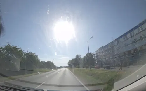
Blauer Engel
Restaurant · 6.7 km
Kantine des Milchgutes Dürrhennersdorf
20 Bahnhofstraße, Dürrhennersdorf
Mo-Fr 07:00-13:30; PH off
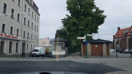
Bone'ma
Restaurant · Kebab
11 Bahnhofstraße, Löbau
Tu-Th 10:30-23:00; Mo off, Fr,Sa 10:30-24:00, Su 12:00-23:00


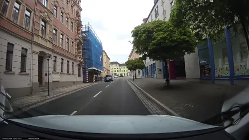
Schützenhaus
Restaurant · Regional · 6.3 km
26 Hauptstraße, Dürrhennersdorf
Tu-Fr 17:00+, Sa-Su 11:00+
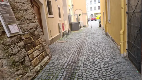
Sole Mio
Restaurant · German
1a Nicolaistraße, Löbau
Mo,We-Fr 17:00-23:00, Sa-Su 11:30-14:00,17:00-23:00
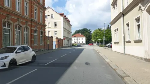
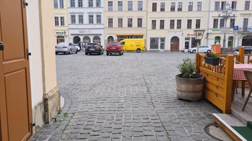


46 more on the map.
History
Löbau was first mentioned in 1221 as "Oppidum Lubaw". From 1319, the city was part of the Bohemian (Czech) Crown. In 1346 the city was a founding member of the Lusatian League, consisting of the six cities Bautzen, Görlitz, Kamenz, Lubań, Löbau and Zittau, which was disbanded in 1815. In 1469, along with the Lusatian League, the town recognized the rule of King Matthias Corvinus and passed to Hungary, and in 1490 it returned to the Czech Crown, then under the rule of Polish Prince Vladislaus II. From 1635, it was ruled by the Electors of Saxony, from 1697 also Kings of Poland, and from 1871 it was part of the German Empire. After Germany's defeat in World War II, the town was part of East Germany until 1990. The league was revived in 1991, though it no longer holds political power and mostly acts as a tourism promotion board.
The town is widely known for the piano manufacturing company August Förster.
From the History section of Löbau on Wikipedia, under CC BY-SA 4.0.
Where to stay8
Pension "Zum Schweizerhaus"
Motel and hotel · 3.6 km
6 Laubaner Landstraße, Löbau
Churches and places of worship8
Heilig-Geist-Kirche
Church · Lutheran · 0.9 km
31 Äußere Zittauer Straße, Löbau
Shopping13
Gas and EV charging6
Schools, colleges and libraries10
Berufliches Schulzentrum "August Förster"
School
8 Alexander-von-Humboldt-Straße, Löbau
Healthcare7
Tagesklinik für Psychiatrie
Clinic and pharmacy
26 Äußere Bautzener Straße, Löbau
Map of Löbau
246 places. The map loads OpenStreetMap tiles when you open it.
Getting there and nearby towns
Dresden Airport (DRS) is the nearest airport with scheduled flights listed in OpenStreetMap, 63 km away.
- Zittau 24 km southeast, about 24 min by car
- Niesky 24 km northeast, about 24 min by car
- Neustadt in Sachsen 32 km west, about 32 min by car
- Bischofswerda 34 km west, about 34 min by car
- Weißwasser 45 km north, about 45 min by car
- Pirna 53 km west, about 53 min by car
- Radeberg 53 km west, about 53 min by car
- Ottendorf-Okrilla 59 km west, about 59 min by car
- Dresden 65 km west, about 1 h by car
- Senftenberg 66 km northwest, about 1 h by car
Drive times are estimates from straight-line distance, not routes.
Local news
Headlines from INDB.
Reviews, tips and questions
Loading what members have shared...
Sources and licences
- GeoNames (CC BY 4.0): population, coordinates, regions and time zone
- Mapillary (see each image): photos
- OpenStreetMap contributors (ODbL 1.0): places, airports, map data
- Wikidata (CC0 1.0): elevation, founding date, time zone, website, landmarks and historic places
- Wikimedia Commons (see each image): photos
- Wikipedia (CC BY-SA 4.0): overview and history text
Photo credits
- Löbau, Altmarkt, Peter Emrich, Löbau (shifted & cropped by Rabanus Flavus ), CC BY-SA 3.0
- 15 m Segmentdrehscheibe und Maschinenhaus Löbau, Oxygenweb, CC BY-SA 4.0
- Poststraße 16, Löbau (Seite Sachsenstraße), ubahnverleih, CC0
- Sachsenstraße (Löbau), ubahnverleih, CC0
- Poststraße 13, Löbau, ubahnverleih, CC0
- Poststraße Löbau (LIDL), ubahnverleih, CC0
- Poststraße Löbau (LIDL, AOK), ubahnverleih, CC0
- Poststraße 15, Löbau, ubahnverleih, CC0
- Löbau Blick von der Weißenberger Brücke Richtung Bahnhof, ubahnverleih, CC0
- Löbau - Blick auf Löbauer Berg und Bahnhof, ubahnverleih, CC0
- Poststraße 13 und 15, Löbau, ubahnverleih, CC0
- Poststraße 10, Löbau (Eingang), ubahnverleih, CC0
- Poststraße 10, Löbau (2), ubahnverleih, CC0
- Löbau - Triebwagen 642-649, ubahnverleih, CC0
- Poststraße 8, Löbau (Ecke), ubahnverleih, CC0
- Wettiner Platz 5, Löbau, ubahnverleih, CC0
- Poststraße 3, Löbau (2), ubahnverleih, CC0
- Bahnhofstraße 33, Löbau (Hinterhof 2), ubahnverleih, CC0
- 15 m Segmentdrehscheibe am Maschinenhaus Löbau, Oxygenweb, CC BY-SA 4.0
- Poststraße 10, Löbau, ubahnverleih, CC0
- Bahnhofstraße 33, Löbau (Hinterhof), ubahnverleih, CC0
- Bahnhofstraße 38, Löbau, ubahnverleih, CC0
- Hotel Stadt Löbau (Elisenstraße 1, Löbau), ubahnverleih, CC0
- Weißenberger Straße 5, Löbau, ubahnverleih, CC0
- August-Bebel-Straße 2, Löbau, ubahnverleih, CC0
- Bahnanlagen Löbau, ubahnverleih, CC0
- Poststraße 3, Löbau, ubahnverleih, CC0
- Löbau Poststraße Sünder, Oberlausitzerin64, CC BY-SA 4.0
- Hinweisschild Drehscheibe Lokbahnhof Löbau, DCB , Wikimedia Commons, CC BY 3.0
- Lokbahnhof Löbau (Sachsen) 2, DCB , Wikimedia Commons, CC BY 3.0
- Lokbahnhof Löbau (Sachsen) 1, DCB , Wikimedia Commons, CC BY 3.0
- Lokbahnhof Löbau (Sachsen) 3, DCB , Wikimedia Commons, CC BY 3.0
- Lokbahnhof Löbau (Sachsen) 4, DCB , Wikimedia Commons, CC BY 3.0
- Lokbahnhof Löbau (Sachsen), DCB , Wikimedia Commons, CC BY 3.0
- Drehscheibe Steuerhaus Lokbahnhof Löbau, DCB , Wikimedia Commons, CC BY 3.0
- Haus Schminke Löbau, Michael Sander, CC BY-SA 3.0
- Bubenik1, Lutz Maertens Trendy64 19:42, 8 July 2007 (UTC), CC BY-SA 3.0
- Rubježny hród 01, Gumideck, CC BY-SA 4.0
- Dürrhennersdorfer Hutberg Mike-Krüger 080726 1, Mike Krüger, CC BY 2.5
- Kočina hora 01, Gumideck, CC BY-SA 4.0
- Loebau Heinrich Pestalozzi Mittelschule, Peter Emrich, Löbau, CC BY 3.0
- Johannisstraße 5, Löbau (3), ubahnverleih, CC0
- Geschwister-Scholl-Gymnasium Loebau, Unukorno, CC BY 3.0
- Loebau Heilig-Geist-Kirche, Unukorno, CC BY 3.0
- Hotel Stadt Loebau, Unukorno, CC BY 3.0
- Loebau Maschinenhaus Bahnhof, Unukorno, CC BY 3.0
- Station 42 Rothstein, Rak 41, CC BY-SA 3.0
- 20170316450DR Kittlitz (Löbau) Kirche, Jörg Blobelt, CC BY-SA 4.0
- Kirche Obercunnersdorf Januar 2018 (3), Frank Lehmann, CC BY-SA 4.0
- Loebau Bahnhof kgl saechs Meilenstein, Oberlausitzerin64, CC BY-SA 4.0
- Loebau Bahnhofstraße kursaechs Postmeilenstein 1, Oberlausitzerin64, CC BY-SA 4.0
- King-Friedrich-August-Tower DSCF0034, Hedwig Storch, CC BY-SA 3.0
- Lejno – ryćerkubło, Julian Nyča, CC BY-SA 3.0
- Kittlitz kgl saechs Meilenstein 2, Oberlausitzerin64, CC BY-SA 4.0
- Löbau Engwichtstein, Buedner, CC BY-SA 3.0
- Alter Friedhof Loebau9, Lutz Lange, CC BY-SA 4.0
- Georgewitzer Skala 060521 1, Mike Krüger, CC BY-SA 3.0
- Rotstein, Gunnar Bernsdorf ( McBernie ), CC BY-SA 3.0
- Löbau honigbrunnen, Peter Emrich, Löbau, CC BY-SA 3.0 de
- 16686-Löbau-1913-Allee am Löbauer Berg-Brück & Sohn Kunstverlag, Brück & Sohn Kunstverlag Meißen, CC0
- Schild am Georgenberg, Christian Pietzsch, CC0
- Street-level photo, dsmm, CC BY-SA 4.0
- Street-level photo, maxim752, CC BY-SA 4.0
- Street-level photo, dsmm, CC BY-SA 4.0
- Street-level photo, dsmm, CC BY-SA 4.0
- Street-level photo, atze02, CC BY-SA 4.0
- Street-level photo, schorsch2, CC BY-SA 4.0
- Street-level photo, atze02, CC BY-SA 4.0
- Street-level photo, thomas, CC BY-SA 4.0
- Street-level photo, maxim752, CC BY-SA 4.0
- Street-level photo, canislupus, CC BY-SA 4.0
- Street-level photo, fell3, CC BY-SA 4.0
- Street-level photo, dsmm, CC BY-SA 4.0
- Street-level photo, dsmm, CC BY-SA 4.0
- Street-level photo, fell3, CC BY-SA 4.0
- Street-level photo, fell3, CC BY-SA 4.0
- Street-level photo, atze02, CC BY-SA 4.0
- Street-level photo, atze02, CC BY-SA 4.0
- Street-level photo, dsmm, CC BY-SA 4.0
- Street-level photo, maxim752, CC BY-SA 4.0
- Street-level photo, autobahn42, CC BY-SA 4.0
- Street-level photo, autobahn42, CC BY-SA 4.0
- Street-level photo, schorsch2, CC BY-SA 4.0
- Street-level photo, dsmm, CC BY-SA 4.0
- Street-level photo, dsmm, CC BY-SA 4.0
- Street-level photo, vorwaertsimmer, CC BY-SA 4.0


Page built November 8, 2026. Spotted a mistake? Tell us or suggest a place.