


Why visit Rinteln
Townapedia lists 136 museums and landmarks, 54 parks and trails, 134 places to eat, 27 places to stay and 53 attractions in and around town.
Highlights include Kampmeiers Hofladen, Brandsmeiers Genuss-Hofladen, Museum Bückeburg and Eulenburg.
Weather in Rinteln
Forecast from MET Norway (CC BY 4.0). Full forecast
About Rinteln
Rinteln (German: [ˈʁɪntl̩n] ) is a small town in Lower Saxony, Germany. It is located on the banks of the Weser river north of the Porta Westfalica. The town of Rinteln is in the broad valley between the hills of the Weserbergland and the North Lippe Bergland. In relation to some well known places, it is 60 kilometers west of Hanover, and just 20 kilometers from Hamelin of Pied Piper fame.
From the Wikipedia article Rinteln (this version), under CC BY-SA 4.0.
Things to do53
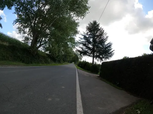
Kampmeiers Hofladen
Farm and orchard · 4.3 km
Wustwaren, Grillwaren, Eier, Brotaufstriche, Geflügel, Honig, Kartoffeln
22 Kasseler Landstraße, Rinteln
Sa 08:00-13:00; We-Fr 09:00-18:00


Idaturm
Scenic view · 6.7 km
Oct-Mar: Sa,Su 11:00-17:00; Apr-Sep: Su 11:00-17:00; Apr-Sep: PH...

41 more on the map.
Museums and landmarks136


Neues Palais
Monument and historic site · 8.0 km
23A Herminenstraße, Bückeburg
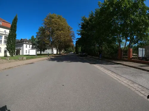

Schloss Varenholz
Monument and historic site · 6.5 km
1 Schloß Varenholz, Kalletal
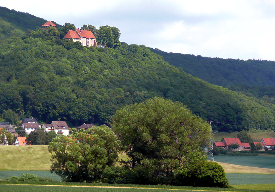

Heimatstube Exten
Museum · 2.1 km
Su[1] 10:00-12:00; Su[3] 15:00-17:00
124 more on the map.
Parks, trails and playgrounds54

Auenlandschaft Hohenrode
Hiking and trails · 4.7 km
Die Weser ist für den Vogelzug eine bedeutende Leitlinie. Zahlreiche Vogelarten ziehen entlang dieser Geländemarke nach Norden,...
24/7

Bergbad Bückeburg
Sports field and stadium · 7.6 km
3 Birkenallee, Bückeburg
Mo-Fr 06:00-12:00,14:00-18:00; Sa,Su 08:00-12:00,14:00-19:00




42 more on the map.
Restaurants and cafes134

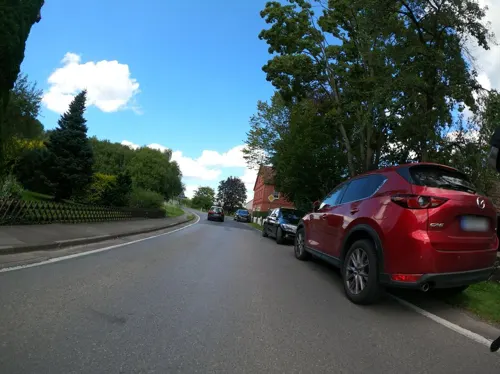
Motorradcafe - Die Kurve
Restaurant · German · 6.6 km
Motorrad Treff
13 Kükenbrucher Straße, Extertal
We, Th 15:00+; Fr 12:00+; Sa 10:00+; Su, PH 09:00+
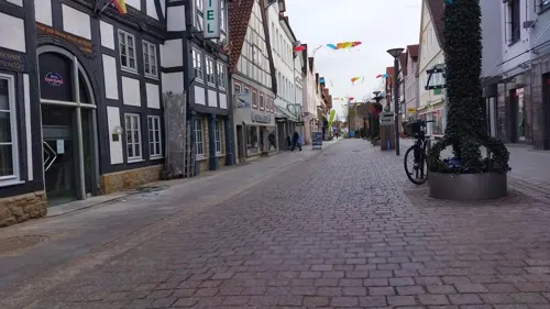
Bistro GreenBee
Cafe · Bistro
44 Klosterstraße, Rinteln
We-Fr 12:00-14:30,17:00-21:00; Sa 12:00-21:00; Su 12:00-20:00

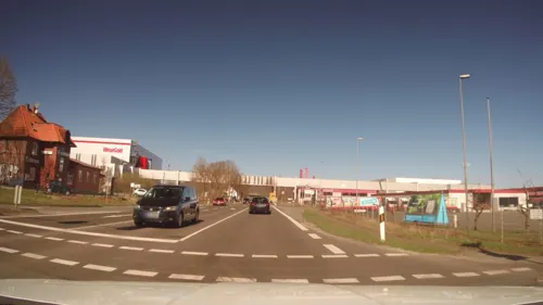
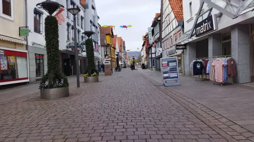
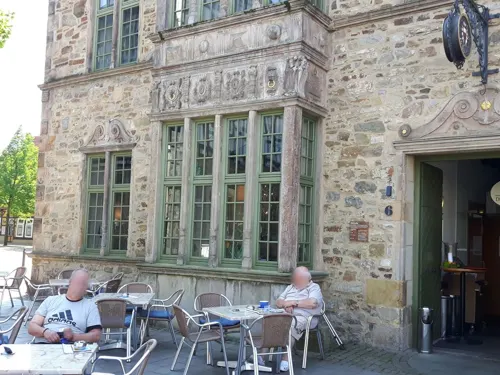
FOODHAFEN
Restaurant · Burger, Indian, Pakistanisch, Fries · 6.3 km
2 Friedrichstraße, Bad Eilsen
Mo-Su 11:30-21:30, We off


La Villa
Restaurant · Italian · 8.0 km
23 Georgstraße, Bückeburg
Tu-Fr 16:30-22:00; Sa 15:00-23:00; Su 11:30-22:00; PH 11:30-22:00 open
Ristorante Pizzeria Da Calo
Restaurant · Italian · 8.6 km
3 Wallstraße, Bückeburg
Mo,We-Fr,Su 12:30-14:30; Mo,We-Su 17:00-22:00
Schaumburger Ritter
Restaurant · German, Regional · 8.6 km
2-4 Burgstraße, Rinteln
We-Su 12:00+; Mo off; Tu 18:00+
122 more on the map.
History
The settlement of Rinteln was founded about 1150 on the northern bank of the Weser. Later, in 1235, the village of Neu-Rinteln ("New Rinteln") was founded on the southern bank. It is the origin of the modern town, since the northern village was abandoned in 1350 due to the plague. The village grew to a fortified town, that served as a southern stronghold of the Counts of Schaumburg.
From 1621 until its dissolution in 1810 during the Westphalian rule under Jérôme Bonaparte, Rinteln was the seat of Ernestina University. When the County of Schaumburg was divided in 1640, Rinteln became the capital of the eastern part which retained the name Grafschaft Schaumburg hessischen Anteils. The Eulenburg in Rinteln became the seat of the counts. Rinteln remained the capital of the county and later of the district, until it was merged with the neighboring district of Schaumburg-Lippe in 1977. There was a British Forces hospital in Rinteln during the 1960s.
From the History section of Rinteln on Wikipedia, under CC BY-SA 4.0.
Where to stay27
Churches and places of worship36
Shopping38
Gas and EV charging24
Raiffeisen Lippe-Weser AG TS Rinteln
Gas station · 2.2 km
1 Stükenstraße, Rinteln
Schools, colleges and libraries27
Kreisergänzungsbücherei im Gymnasium
Library · 1.0 km
1 Paul-Erdniß-Straße, Rinteln
Healthcare17
Map of Rinteln
250 places. The map loads OpenStreetMap tiles when you open it.
Getting there and nearby towns
Flugplatz Bielefeld (BFE) is the nearest airport with scheduled flights listed in OpenStreetMap, 44 km away.
- Obernkirchen 10 km north, about 10 min by car
- Vlotho 15 km west, about 15 min by car
- Stadthagen 17 km northeast, about 17 min by car
- Aerzen 20 km southeast, about 20 min by car
- Bad Nenndorf 26 km northeast, about 26 min by car
- Springe 32 km east, about 32 min by car
- Rehburg-Loccum 33 km north, about 33 min by car
- Wunstorf 36 km northeast, about 36 min by car
- Wennigsen 35 km east, about 35 min by car
- Bielefeld 41 km southwest, about 41 min by car
Drive times are estimates from straight-line distance, not routes.
Local news
Headlines from INDB.
Reviews, tips and questions
Loading what members have shared...
Sources and licences
- GeoNames (CC BY 4.0): population, coordinates, regions and time zone
- Mapillary (see each image): photos
- OpenStreetMap contributors (ODbL 1.0): places, airports, map data
- Wikidata (CC0 1.0): elevation, founding date, time zone, website
- Wikimedia Commons (see each image): photos
- Wikipedia (CC BY-SA 4.0): overview and history text
Photo credits
- Rinteln StNicolai v SW, Beckstet, CC BY-SA 3.0
- Freundschaftsbänder (Rinteln) 1, Gerd Fahrenhorst, CC BY 4.0
- Freundschaftsbänder (Rinteln) 2, Gerd Fahrenhorst, CC BY 4.0
- Freundschaftsbänder (Rinteln) 3, Gerd Fahrenhorst, CC BY 4.0
- Rinteln Jakobikirche from the east, Ymblanter, CC BY-SA 4.0
- Rinteln Prinzenhof from the east, Ymblanter, CC BY-SA 4.0
- Rinteln Bäckerstraße 17 rear, Ymblanter, CC BY-SA 4.0
- Rinteln Jakobikirche interior, Ymblanter, CC BY-SA 4.0
- Rinteln Klosterstraße 42, Ymblanter, CC BY-SA 4.0
- Rinteln Prinzenhof door, Ymblanter, CC BY-SA 4.0
- Stolpersteinlage Rinteln Klosterstraße 19, Gmbo 2013, CC0
- Sparkasse Klosterstraße Rinteln, Gerd Fahrenhorst, CC BY 4.0
- Stolperstein Rinteln Klosterstraße 19 Leo Schönfeld, Gmbo 2013, CC0
- Stolperstein Rinteln Klosterstraße 19 Julius Sundheimer, Gmbo 2013, CC0
- Stolpersteine Rinteln Klosterstraße 19, Gmbo 2013, CC0
- Stolpersteine Rinteln Bäckerstraße 12, Gmbo 2013, CC0
- Stolperstein Rinteln Bäckerstraße 12 Lina Lehmann, Gmbo 2013, CC0
- Stolperstein Rinteln Bäckerstraße 12 Wolf Lehmann, Gmbo 2013, CC0
- Stolperstein Rinteln Bäckerstraße 12 David Lehmann, Gmbo 2013, CC0
- Stolperstein Rinteln Bäckerstraße 12 Jutta Jüdel, Gmbo 2013, CC0
- Stolperstein Rinteln Bäckerstraße 12 Bertha Meyer, Gmbo 2013, CC0
- Stolperstein Rinteln Bäckerstraße 12 Lore Lehmann, Gmbo 2013, CC0
- Stolperstein Rinteln Bäckerstraße 12 Wilhelm Lehmann, Gmbo 2013, CC0
- Stolpersteinlage Rinteln Bäckerstraße 12, Gmbo 2013, CC0
- Rinteln Klosterstraße 1, Ymblanter, CC BY-SA 4.0
- Rinteln Altes Rathaus from the south, Ymblanter, CC BY-SA 4.0
- Rinteln Altes Rathaus 02, Helmlechner, CC0
- Rinteln Kirchplatz 1, Ymblanter, CC BY-SA 4.0
- Rinteln St. Nikolai 03, Helmlechner, CC0
- Rinteln Rathaus entrance, Ymblanter, CC BY-SA 4.0
- Rinteln Bäckerstraße 1, Ymblanter, CC BY-SA 4.0
- Stolperstein Rinteln Markt 1 Paul Leeser, Gmbo 2013, CC0
- Stolpersteinlage Rinteln Markt 1, Gmbo 2013, CC0
- Stolperstein Rinteln Markt 1 Ludwig Leeser, Gmbo 2013, CC0
- Stolperstein Rinteln Markt 1 Henriette Leeser, Gmbo 2013, CC0
- Stolpersteine Rinteln Markt 1, Gmbo 2013, CC0
- PW-Einsbergen - NSG Appenhäuser Bruch - 2, Ath, CC0
- Besucherbergwerk1, -- Ingo2802 08:20, 5. Jun 2006 (CEST), CC BY-SA 3.0
- Schaumburg Kuppe Weser, Axel Hindemith, Public domain
- Aussenansicht des Hubschraubermuseums in Bückeburg, Nortix08, CC BY-SA 4.0
- Museum Eulenburg, Museum.eulenburg, CC BY-SA 3.0
- Eisbergen3, Ingo2802 17:49, 2. Feb. 2008 (CET), CC BY-SA 3.0
- Kleinenbremen EvKirche, Grugerio, CC BY-SA 3.0
- Bueckeburg Schloss v O, Beckstet, CC BY-SA 3.0
- Kloster-Möllenbeck-Gesamtansicht, Grugerio, CC BY-SA 3.0
- 2022-08-07 Mausoleum im Schlosspark Bückeburg, Bernd Schwabe in Hannover, CC BY-SA 4.0
- Bückeburg Eingangstor jüdischen Friedhof, Gmbo 2013, CC0
- Bückeburg Palais 09, Axel Hindemith, Public domain
- Veltheim-Kirche-02, Grugerio, CC BY-SA 3.0
- Kapelle Schloss Bückeburg 01, Hajotthu, CC BY-SA 3.0
- Der westliche Bereich der Auenlandschaft von oben, Kathy2408, CC BY-SA 4.0
- Museum Bückeburg, HJunghans, CC BY-SA 4.0
- Bad Eilsen Christuskirche 2022, Kirchenfan, CC0
- St. Petri Veltheim, Unixbook, CC BY-SA 4.0
- Schlosskirche-Varenholz, Grugerio, CC BY-SA 4.0
- Extertal - 2015-08-15 - LIP-074 Rinnenberg (19), Tsungam, CC BY-SA 4.0
- Kalletal - 2015-05-02 - LIP-013 Aberg-Herrengraben (02), Tsungam, CC BY-SA 3.0
- Kalletal - 2015-05-02 - LIP-032 Abgrabung Stemmen (20), Tsungam, CC BY-SA 3.0
- See im Hehler Feld, Rolf Mohme, CC BY-SA 4.0
- Schloss Vahrenholz 01, Grugerio, CC0
- Bückeburg Marien 3, Kirchenfan, CC0
- Street-level photo, DHessel71, CC BY-SA 4.0
- Street-level photo, Schmarvis, CC BY-SA 4.0
- Street-level photo, Langfahrer, CC BY-SA 4.0
- Street-level photo, changchun1, CC BY-SA 4.0
- Street-level photo, changchun1, CC BY-SA 4.0
- Street-level photo, ankeric, CC BY-SA 4.0
- Street-level photo, ankeric, CC BY-SA 4.0
- Street-level photo, baldur80, CC BY-SA 4.0
- Street-level photo, Schmarvis, CC BY-SA 4.0
- Street-level photo, Langfahrer, CC BY-SA 4.0
- Street-level photo, Langfahrer, CC BY-SA 4.0
- Street-level photo, aceini, CC BY-SA 4.0
- Street-level photo, Hightower-, CC BY-SA 4.0
- Street-level photo, klypern, CC BY-SA 4.0
- Street-level photo, changchun1, CC BY-SA 4.0
- Street-level photo, ankeric, CC BY-SA 4.0
- Street-level photo, ankeric, CC BY-SA 4.0
- Street-level photo, changchun1, CC BY-SA 4.0
- Street-level photo, snowdiver, CC BY-SA 4.0
- Street-level photo, changchun1, CC BY-SA 4.0
- Street-level photo, Schmarvis, CC BY-SA 4.0
- Street-level photo, Langfahrer, CC BY-SA 4.0
- Street-level photo, Langfahrer, CC BY-SA 4.0
- Street-level photo, aceini, CC BY-SA 4.0
- Street-level photo, Hightower-, CC BY-SA 4.0
- Street-level photo, snowdiver, CC BY-SA 4.0
- Street-level photo, klypern, CC BY-SA 4.0


Page built November 8, 2026. Spotted a mistake? Tell us or suggest a place.